Hike from Masi di Grumes to Rifugio Potzmauer, the hut in the woods.
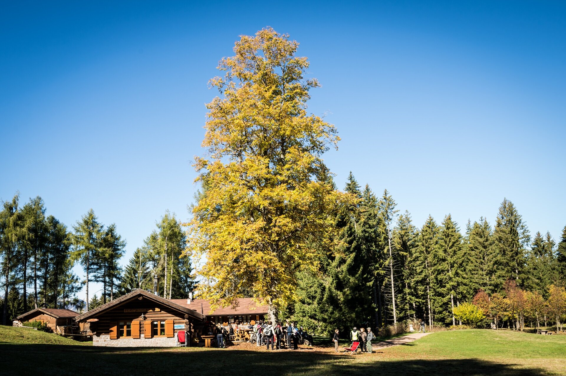
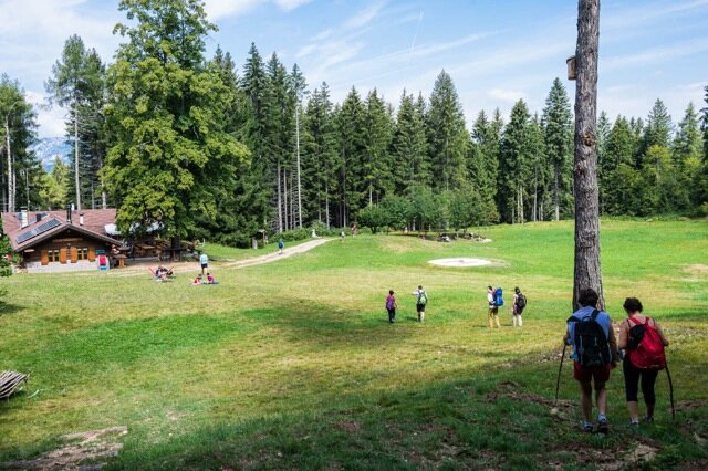
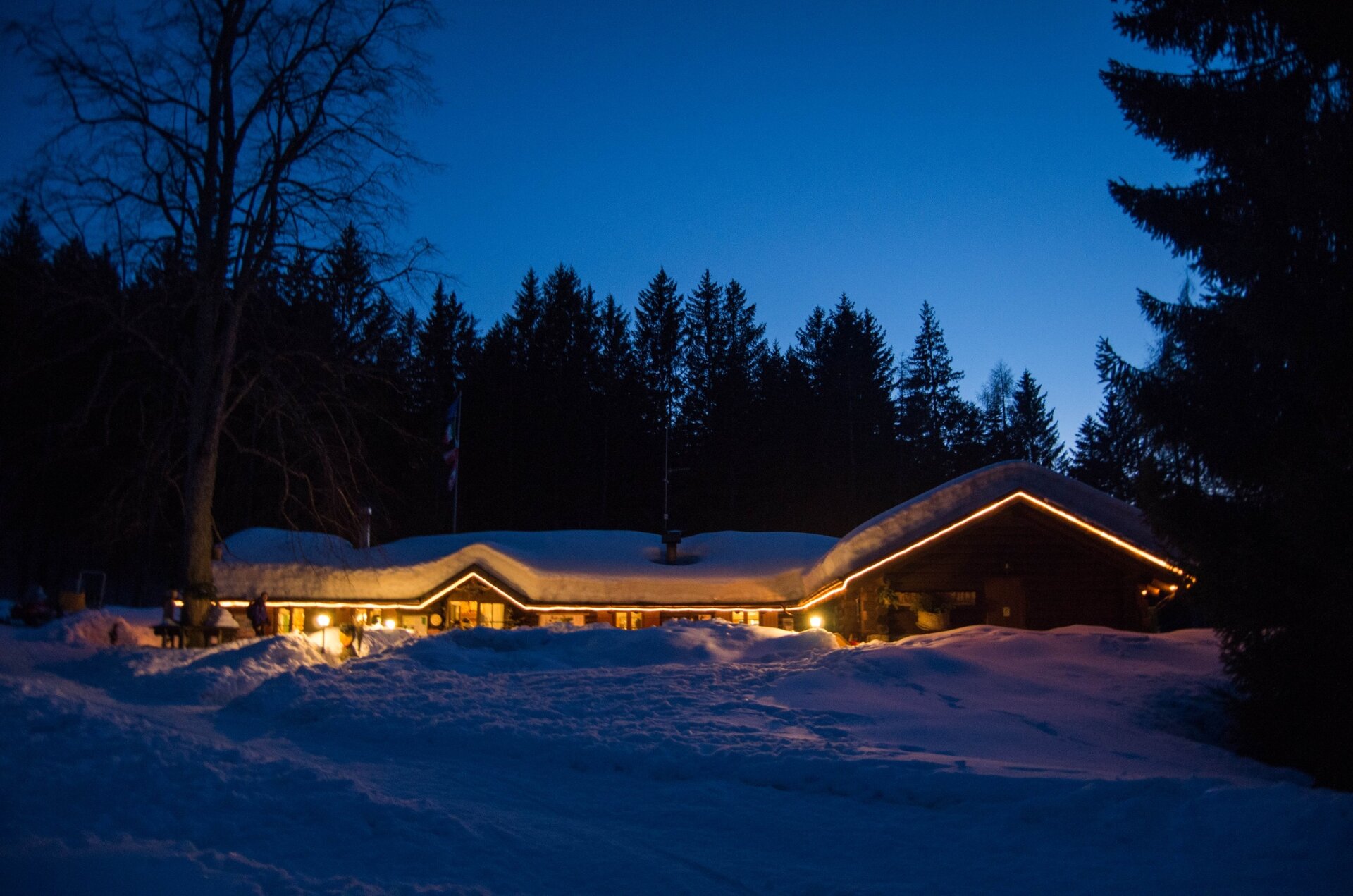
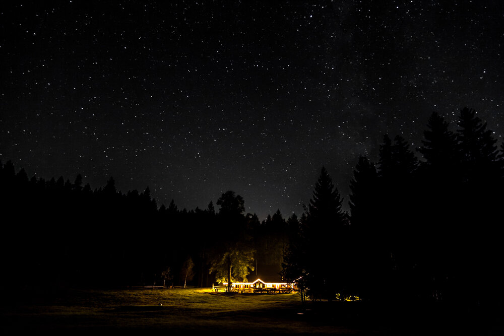
The route, very easy even if uphill, takes about 1 hour walking through woods of white fir, spruce, and Scots pine to Rifugio Potzmauer, a hut nestled in a meadow basin surrounded by fir forests. The hut was once a mountain dairy farm then abandoned with the disappearance of livestock farming in the valley. It was purchased and renovated by the Municipality of Grumes, which then entrusted management to Roberto Leonardi. The hut serves as a rest stop both for eating and overnight stays and is also an intermediate point for possible longer hikes to other interesting places such as the peat bogs of Lac del Vedes or Lago di Valda, or towards Lago Santo.
Stopping to have lunch or try a slice of cake at the hut and then relax on the lawn is almost mandatory for those who climb up here.
Bezpečnostní pokyny
Although the route does not present particular technical difficulties or dangerous sections, we always recommend respecting the general mountain hiking safety rules in any case.
The information contained in this sheet is subject to unavoidable changes, so no indication has absolute value. It is not possible to completely avoid inaccuracies or errors, given the rapid environmental or weather changes that may occur. In this respect, we disclaim all responsibility for any changes experienced by the user. It is recommended, however, to check the condition of the places and environmental or weather conditions before undertaking a hike.
Prepare your itinerary
Choose a route suitable for your preparation
Choose appropriate equipment and gear
Check weather reports
Starting alone is more risky
Leave information about your itinerary and expected return time
Do not hesitate to rely on a professional
Pay attention to the signs and markings you find along the route
Do not hesitate to turn back
In case of accident, raise the alarm by calling number 112
Výchozí bod
Masi di Grumes - Pradet locality
Vedení
The starting point of this route is the Pradet locality at Upper Masi di Grumes (Municipality of Altavalle). There is a square where you can park your car. To reach the Rifugio, follow the SAT trail number 480 or the parallel forest road that takes you to Passo della Cima and then in a few minutes down to Rifugio Potzmauer.
Jak dojechać
For those coming from Trento, follow the SS.612 north towards Grumes. Pass the village entrance and at the traffic light turn left following the signs for Masi di Grumes, then to Upper Masi. The parking lot is located immediately after Maso Giovanni.
For those coming from Val di Fiemme follow SS 612 south towards Grumes. Pass the village entrance and at the traffic light turn right following the signs for Masi di Grumes, then to Upper Masi. The parking lot is located immediately after Maso Giovanni.
Kde zaparkovat
Free parking at the Pradet locality parking area, Upper Masi di Grumes
Hiking shoes or mountain boots
Hiking poles
You might be interested in
Objevte související prohlídky
Obtížný
Predazzo, Tesero
Giro di Valsorda
Vzdálenost
14,7 km
životnost
6 h
00 min
Do kopce
520 m
Slušný
1.650 m
Snadný
Faver, Grauno, Grumes, Valda
Monte dell'Orso - Laghetto Vedes
Vzdálenost
16,7 km
životnost
5 h
30 min
Do kopce
942 m
Slušný
942 m
Průměrný
Cembra, Lisignago
Al "Piz delle Agole" e la chiesetta di S. Leonardo