
Climb up to Malga Sass di Valfloriana and the wonderful “Pradi da le fior”, a blooming panoramic balcony
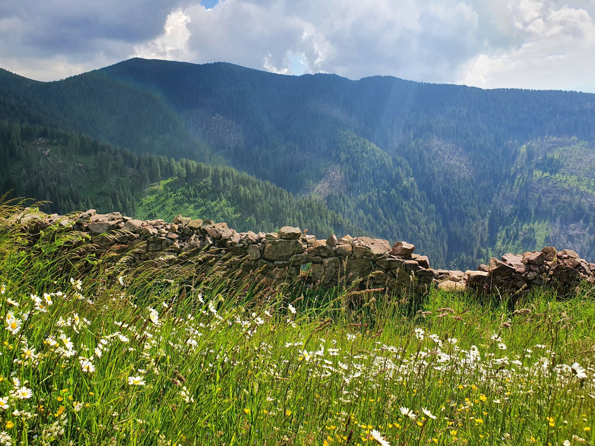
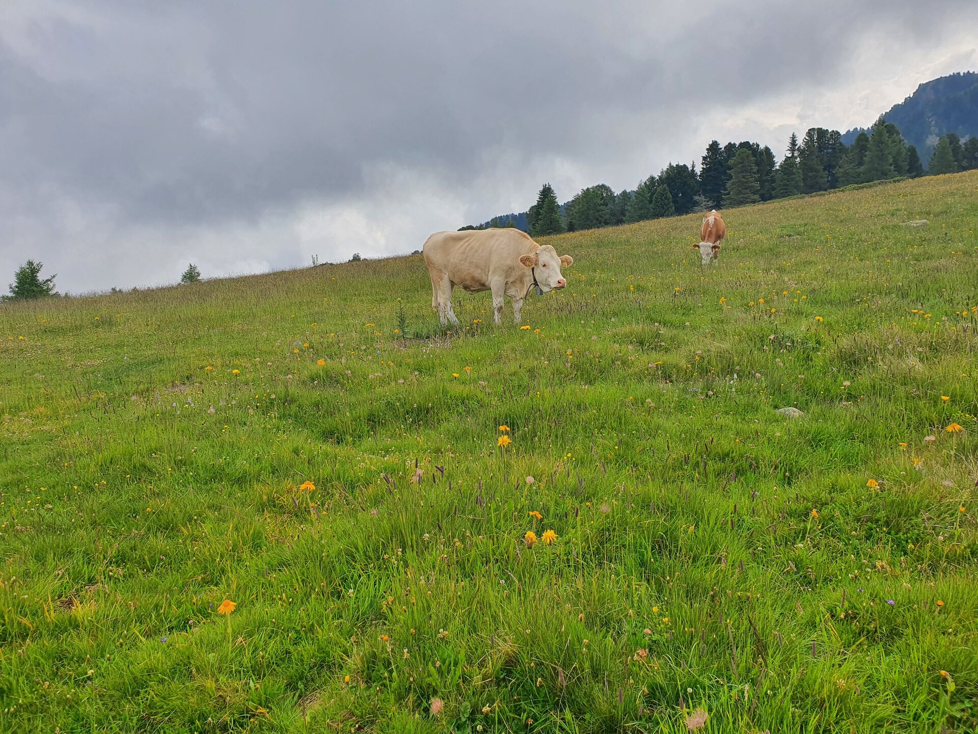
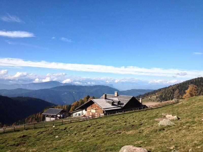
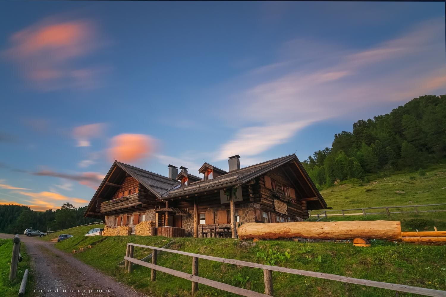
This itinerary takes you to Malga Sass, one of the area’s highest mountain dairies. Open from June to September the dairy's position is a wonderful one in the midst of meadows and Norway spruce, larch and Arolla pine forests with mountains overhanging them in the background.
This itinerary starts from Bait dal Manz, just a short drive from Sicina, Valfloriana’s highest village. From the car park the route follows a section of the tarred road to the dairy for a few kms before turning off left onto a gravel road in the direction of Malga Coston, a historic high pasture building dating to the early 19th century and now renovated. It then continues, still on gravel roads and footpaths, into the forest as far as Malga Sass.
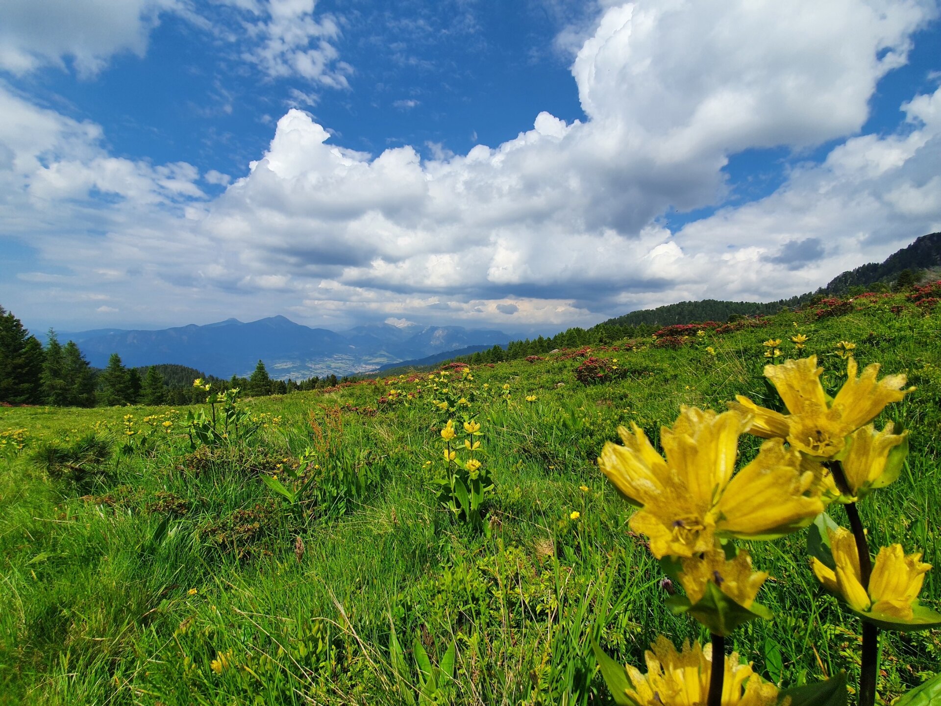
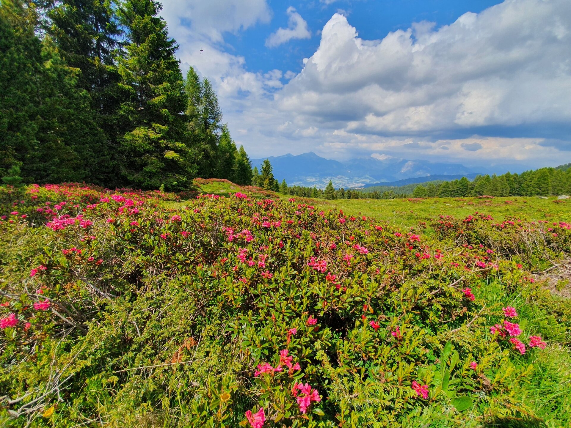
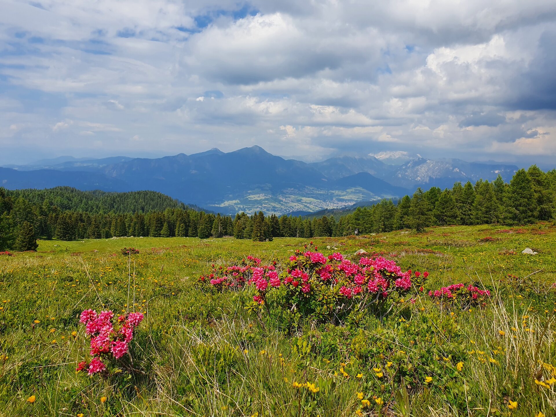
After recharging your batteries at Malga Sass continue in the direction of Pradi da le Fior on the even track which starts near the dairy. The views from these meadows over the Fiemme valley, from Le Ville town (Carano, Daiano and Varena) to Corno Nero and Pala di Santa are exceptionally beautiful. At an altitude of 2000 metres it is truly a flower-filled balcony packed with rhododendrons and an attractive place for a break.
The return journey is on the forest footpath through the forest to the left of Pradi da le fior, which returns to Malga Coston. We then return, following the path of the outward journey, first on a forest road and then on a paved road, towards the starting point of our excursion.
It is also possible to reach Malga Sass by car and only take the ring route that connects the hut to the Pradi da le fior.


