To the navigation Skip to main content To the footer
Top

La centrale di Pozzolago e l’Avisio

Lona-Lases
životnost
3:00
v hodinách
Vzdálenost
5.2
in km
Categories
  • Výšlapy
Tags
  • Okružní trasa

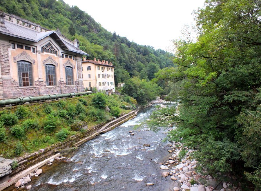
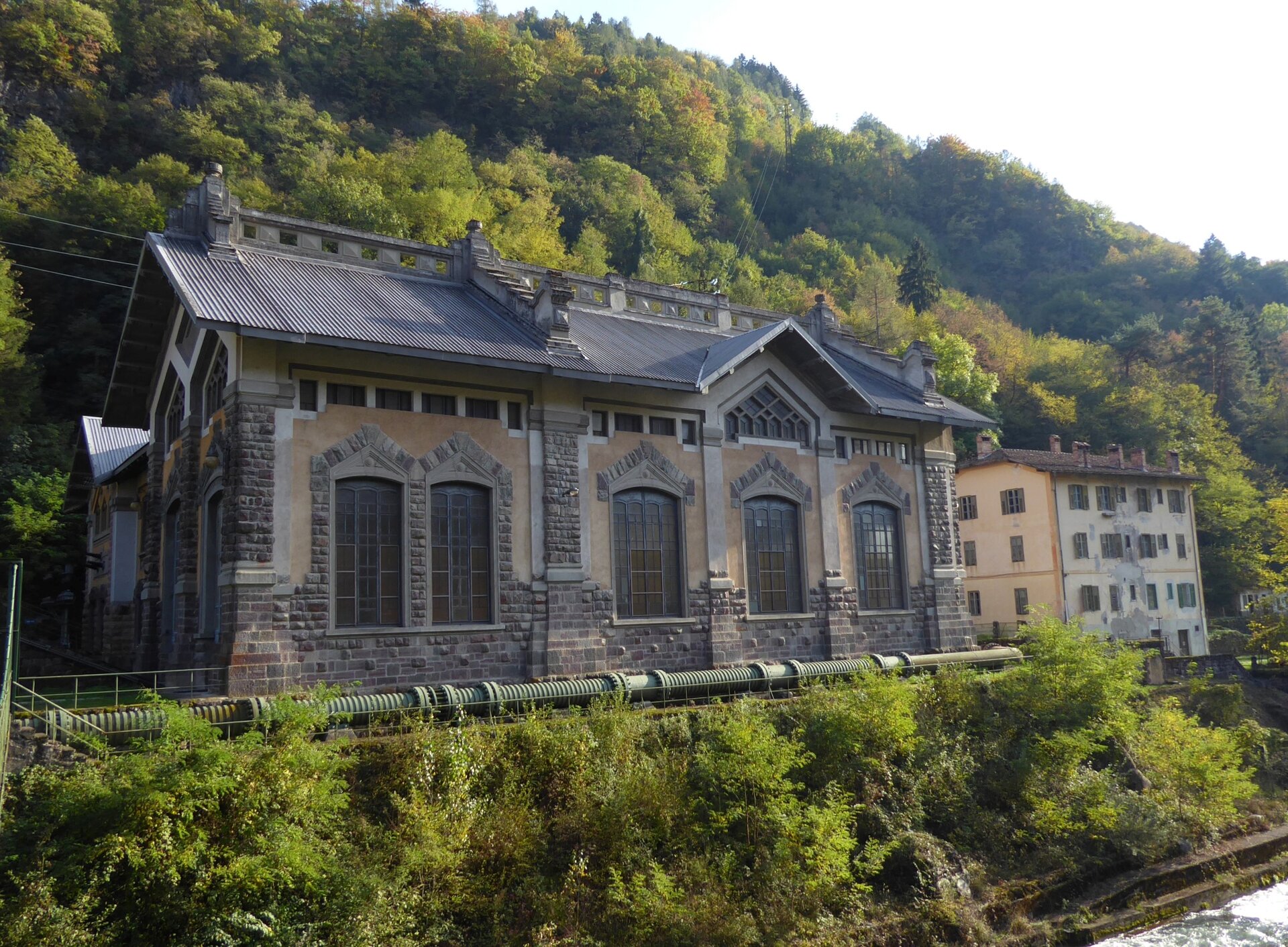
The natural marvel of the stream and the Pozzolago Power Plant, a fine example of industrial architecture.

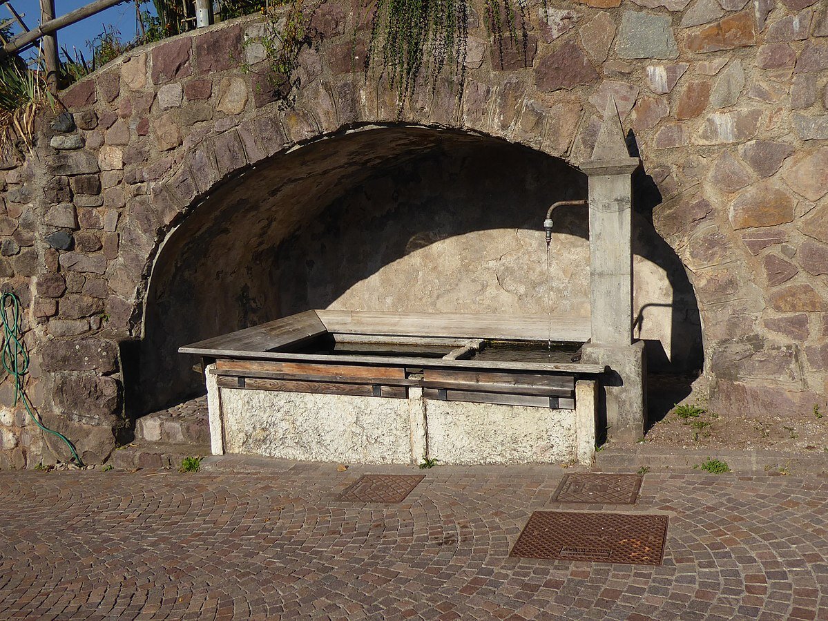
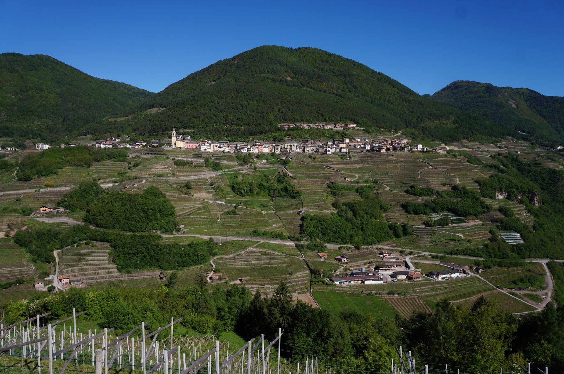
From the village of Lona, descend towards the Avisio stream following an agricultural road (signs for Pozzolago) that descends until reaching the Pozzolago Power Plant, a fine example of industrial architecture dating back to the 1920s. It is still in operation and uses water from the Lagorai Chain coming from the Piné Plateau thanks to a conduit starting from Lake delle Piazze about 3.5 kilometers long with a drop of 604 meters. From the plant, a footbridge over the river, the “Pont dele Formìghe,” allows crossing to the other bank towards Cembra. 

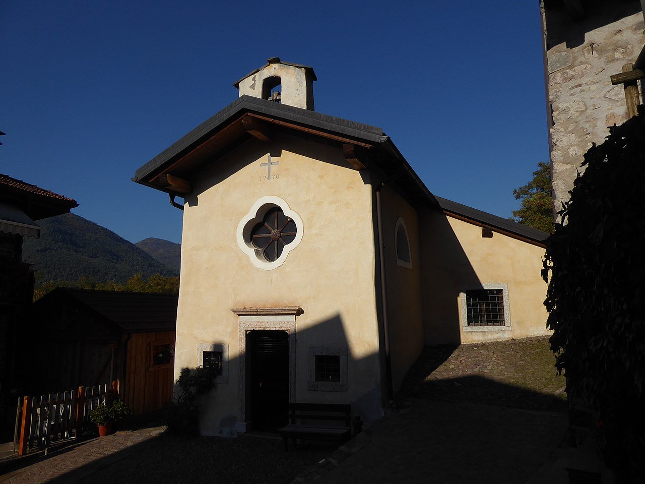
To resume our route, we climb back for a short stretch along the path leading to the Power Plant, up to an isolated house, above which the SAT trail E463 heading left climbs to the hamlet of Piazzole, a well-kept village adorned with plants and flowers. In the village, there is a characteristic 18th-century little church dedicated to Saint Job, the saint of patience, protector of fields and silkworms. Silkworm breeding was once an important resource for economic subsistence even in the smaller valleys of Trentino.

From Piazzole, we continue following the E463 trail that climbs to the provincial road, which we cross, then continue ascending to the hamlet of Casara and then continue on flat terrain to finally reach Lona.
Gallery
Categories
  • Výšlapy
Tags
  • Okružní trasa
Údaje o trase
Vzdálenost
5,2 km
životnost
3 h 00 min
Do kopce
300 m
Slušný
300 m
Nejvyšší bod
743 m
Nejnižší bod
417 m
You might be interested in
Objevte související prohlídky
© Sara Zucal, Rete di Riserve Val di Cembra Avisio
Průměrný
Faver, Grauno, Grumes, Valda
Escursione al Lago di Valda - da Ponciach
Vzdálenost 9,8 km
životnost 4 h 30 min
Do kopce 500 m
Slušný 500 m
Stav
otevřeno
© Sara Zucal, Rete di Riserve Val di Cembra Avisio
Snadný
Faver, Grauno, Grumes, Valda, Cembra, Lisignago
Giro del Monte Pincaldo di Faver
Vzdálenost 5,6 km
životnost 1 h 45 min
Do kopce 290 m
Slušný 290 m
Stav
otevřeno
© N. Delvai, APT Fiemme Cembra
Průměrný
Castello-Molina di Fiemme
Lago delle Stellune
Vzdálenost 14,4 km
životnost 5 h 30 min
Do kopce 900 m
Slušný 900 m
© Alessandro Cristofoletti, Rete di Riserve Val di Cembra Avisio
Obtížný
Capriana, Castello-Molina di Fiemme
Le torbiere d'alta quota del Monte Corno
Vzdálenost 14,9 km
životnost 5 h 00 min
Do kopce 600 m
Slušný 600 m
Stav
otevřeno
© orlerimages.com, APT Fiemme Cembra
Obtížný
Tesero, Ville di Fiemme
Giro della Pala di Santa, tra Lavazè e Pampeago
Vzdálenost 10,6 km
životnost 5 h 00 min
Do kopce 780 m
Slušný 780 m
© A. Campanile, APT Fiemme Cembra
Obtížný
Predazzo
Cima Bocche
Vzdálenost 16,7 km
životnost 6 h 30 min
Do kopce 960 m
Slušný 960 m