To the navigation Skip to main content To the footer
Top

Sui Pascoli di Malga Vernera

Sover
Obtížnost
Snadný
životnost
1:10
v hodinách
Vzdálenost
3.6
in km
Categories
  • Pěší výlet
Tags
  • Vyhlídky
  • Fauna
  • Okružní trasa
  • Vhodné pro rodiny s dětmi
  • Flóra
Navrhované období
Led.
ún.
út.
Dub.
Květ.
červen
červenec
Srp.
zář.
říj.
List.
Pros.
A walk among grazing cows
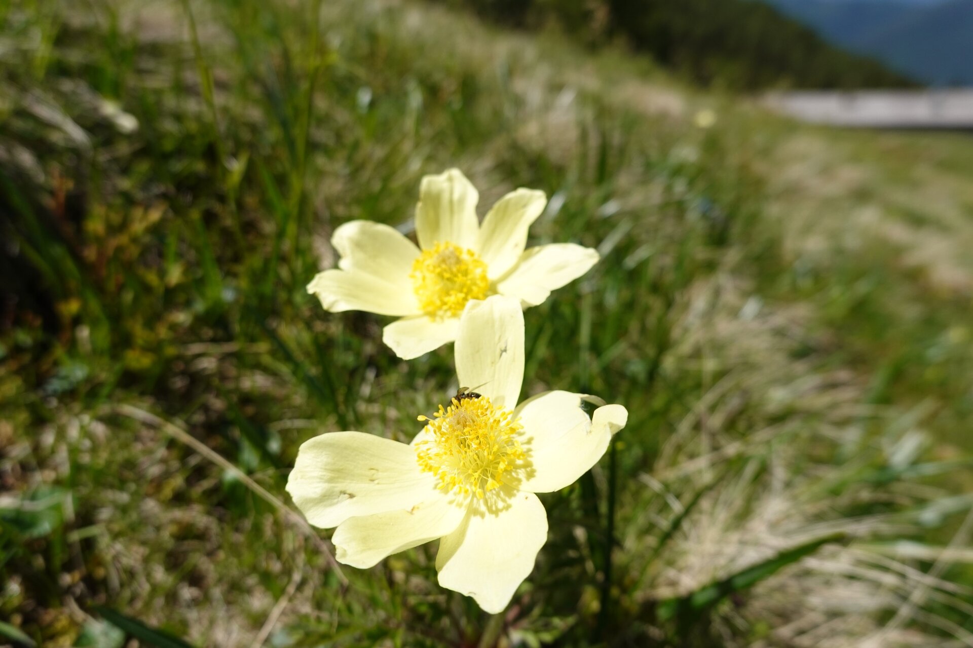
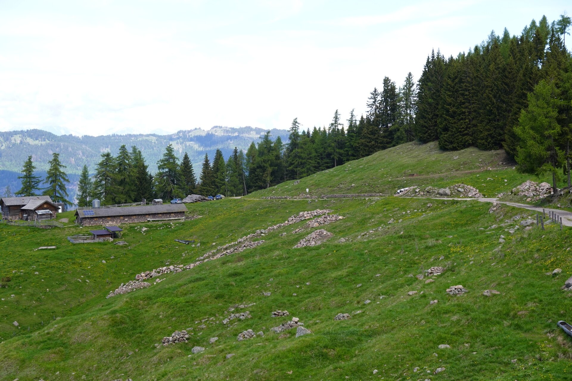
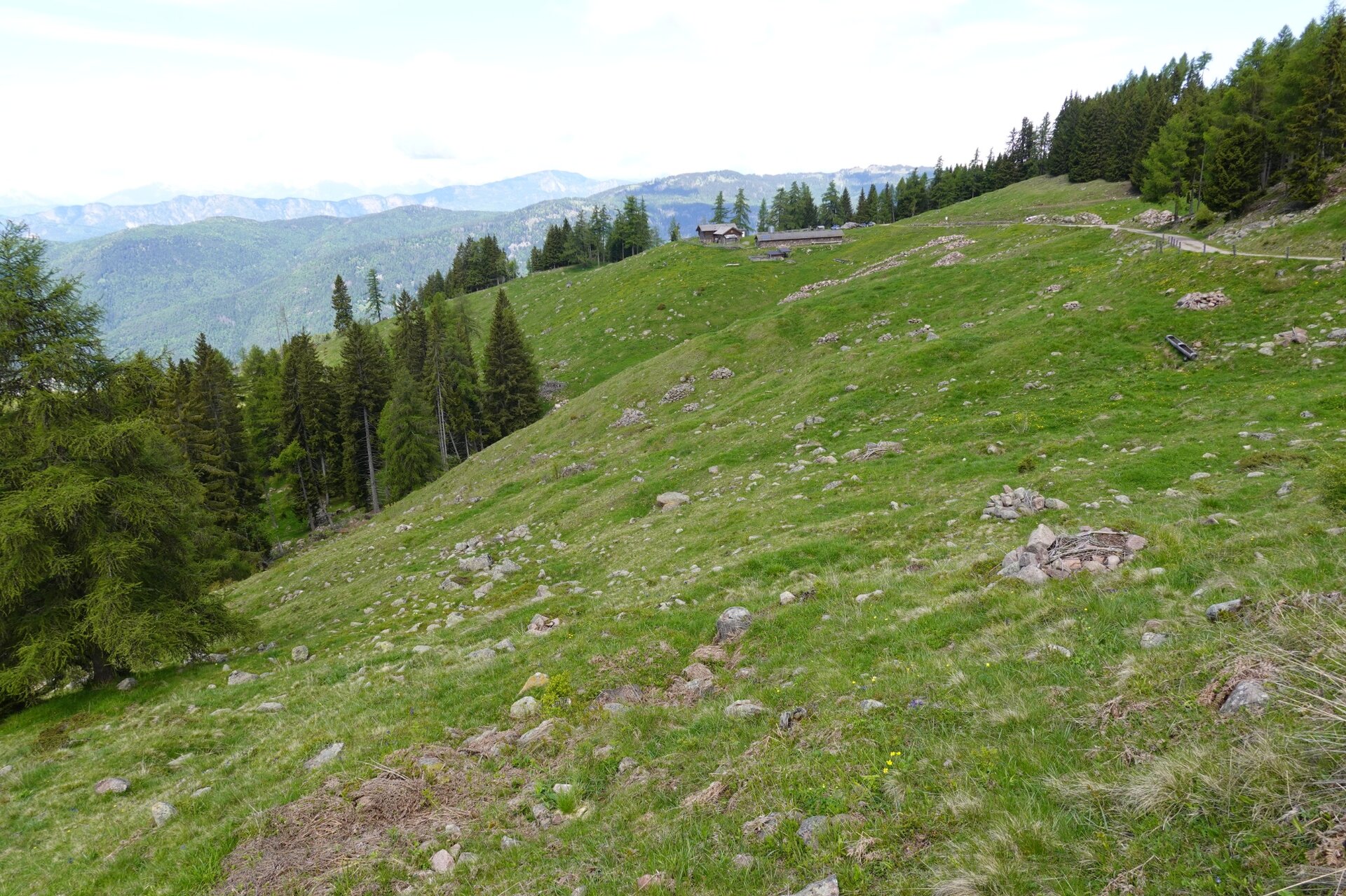
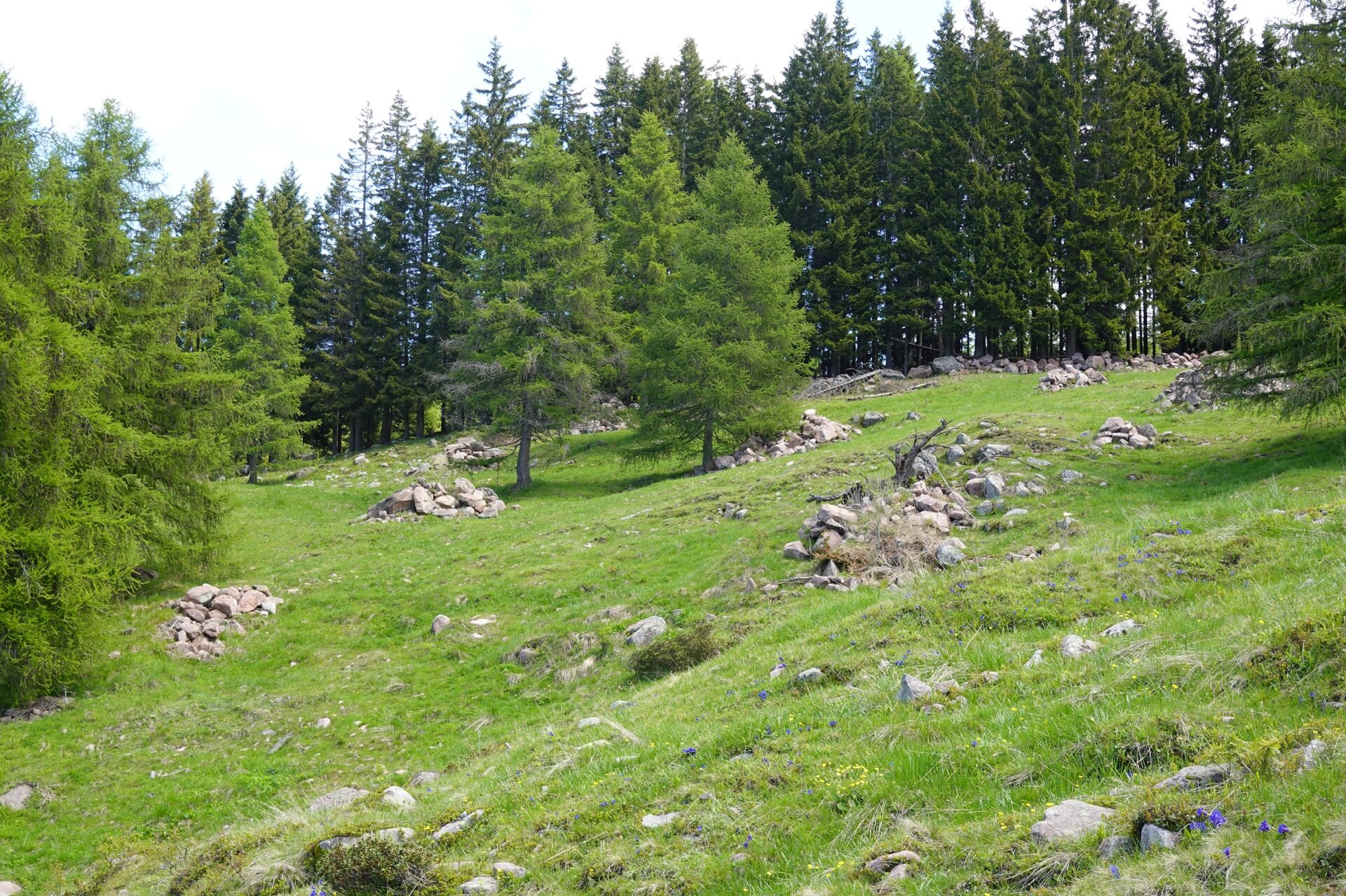
In the past, the Vernera pasture was divided between two mountain huts: Malga Vernera Alta and Malga Vernera Bassa. The first is no longer operational and its stable has collapsed, while Malga Vernera Bassa is still regularly "stocked" with livestock during the summer season and also offers dining services. The route starts right from Malga Vernera Bassa, near which the SAT E469A trail begins; following the edge of the pasture, it passes by Malga Vernera Alta then continues until it reaches the forest road “Bosco dalle Piane,” along which you arrive at the Alpine Chapel and shortly after return to the starting point. The route allows you to admire the alpine pastures of one of the very few mountain huts in Val di Cembra still in operation, as well as the spruce forests that surround them. In the latter, the Vaia storm first and then the bark beetle, a small but formidable spruce parasite, have opened vast areas. A curiosity: the large stone piles shaped like ridges located downhill from Malga Vernera Bassa were created a few years ago as part of a stoneless meadow intervention.
Gallery
Categories
  • Pěší výlet
Tags
  • Vyhlídky
  • Fauna
  • Okružní trasa
  • Vhodné pro rodiny s dětmi
  • Flóra
Údaje o trase
Snadný
Vzdálenost
3,6 km
životnost
1 h 10 min
Do kopce
185 m
Slušný
185 m
Fyzický stav
Scénář
Nejvyšší bod
1.863 m
Nejnižší bod
1.678 m
You might be interested in
Objevte související prohlídky
© Elisa Travaglia, Rete di Riserve Val di Cembra Avisio
Snadný
Giovo, Cembra, Lisignago
San Leonardo e le campagne di Lisignago
Vzdálenost 4,4 km
životnost 2 h 00 min
Do kopce 280 m
Slušný 280 m
© Sara Zucal, Rete di Riserve Val di Cembra Avisio
Průměrný
Faver, Grauno, Grumes, Valda
Il Lago di Valda, torbiera d'alta quota
Vzdálenost 11,4 km
životnost 4 h 30 min
Do kopce 650 m
Slušný 650 m
© Sara Zucal, Rete di Riserve Val di Cembra Avisio
Segonzano, Faver, Grauno, Grumes, Valda, Lona-Lases, Cembra, Lisignago
Val di Cembra coast to coast
Vzdálenost 13,1 km
životnost 4 h 30 min
Do kopce 750 m
Slušný 750 m
© N. Delvai, APT Fiemme Cembra
Snadný
Ville di Fiemme, Cavalese, Castello-Molina di Fiemme
Montagna Senza Limiti - Giro ad anello Cavalese - Castello di Fiemme
Vzdálenost 4,8 km
životnost 1 h 30 min
Do kopce 65 m
Slušný 65 m
© G. Panozzo, APT Fiemme Cembra
Snadný
Ziano di Fiemme, Predazzo
Riserva locale dell'Avisio
Vzdálenost 6,0 km
životnost 1 h 45 min
Do kopce 50 m
Slušný 50 m
© N. Delvai, APT Fiemme Cembra
Průměrný
Ville di Fiemme
Montagna Senza Limiti - Avventura off-road al Giro del Solombo
Vzdálenost 7,3 km
životnost 2 h 00 min
Do kopce 153 m
Slušný 153 m