To the navigation Skip to main content To the footer
Top

At the Pastures of Malga Vernera

Sover
Difficulty
Easy
Duration
1:10
in hours
Distance
3.6
in km
Categories
  • Hiking trail
Tags
  • Scenic
  • Fauna
  • Round trip
  • Family-friendly
  • Flora
Suggested period
Jan
Feb
Mar
Apr
May
Jun
Jul
Aug
Sep
Oct
Nov
Dec
A walk among grazing cows
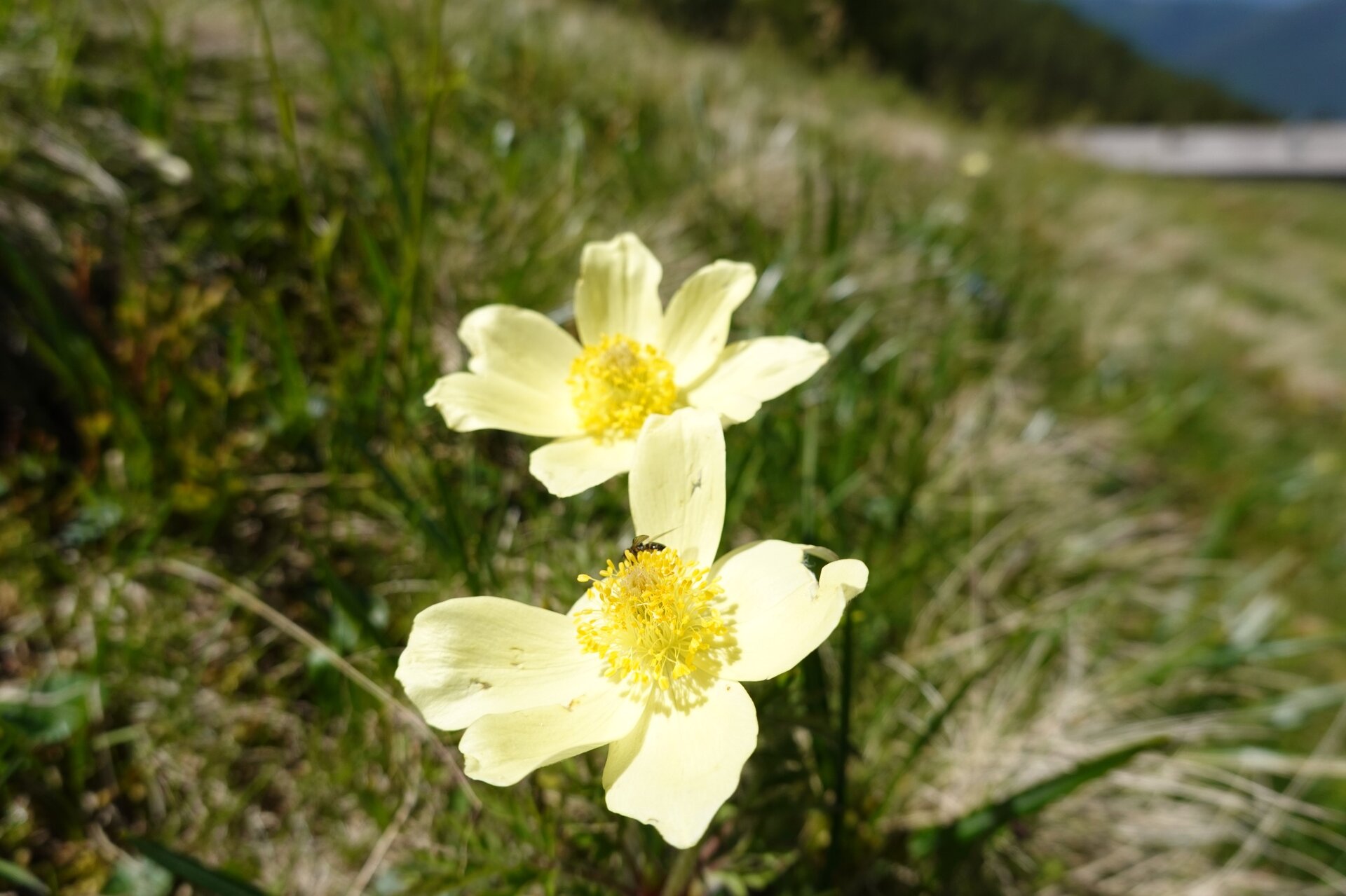
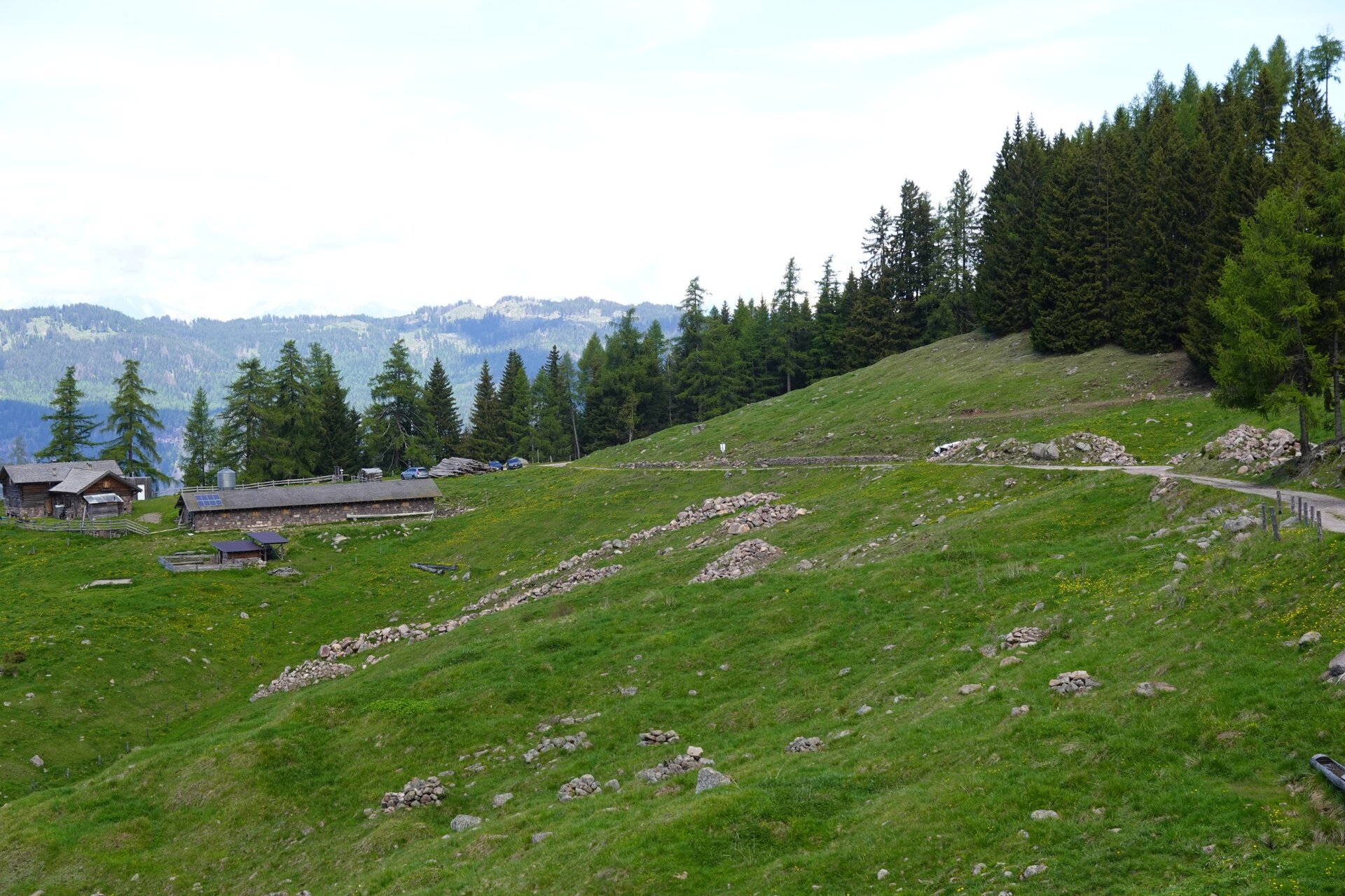
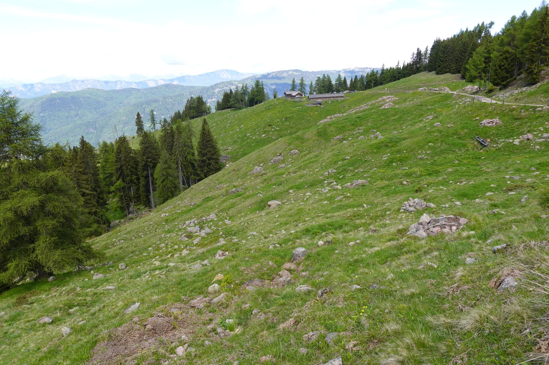
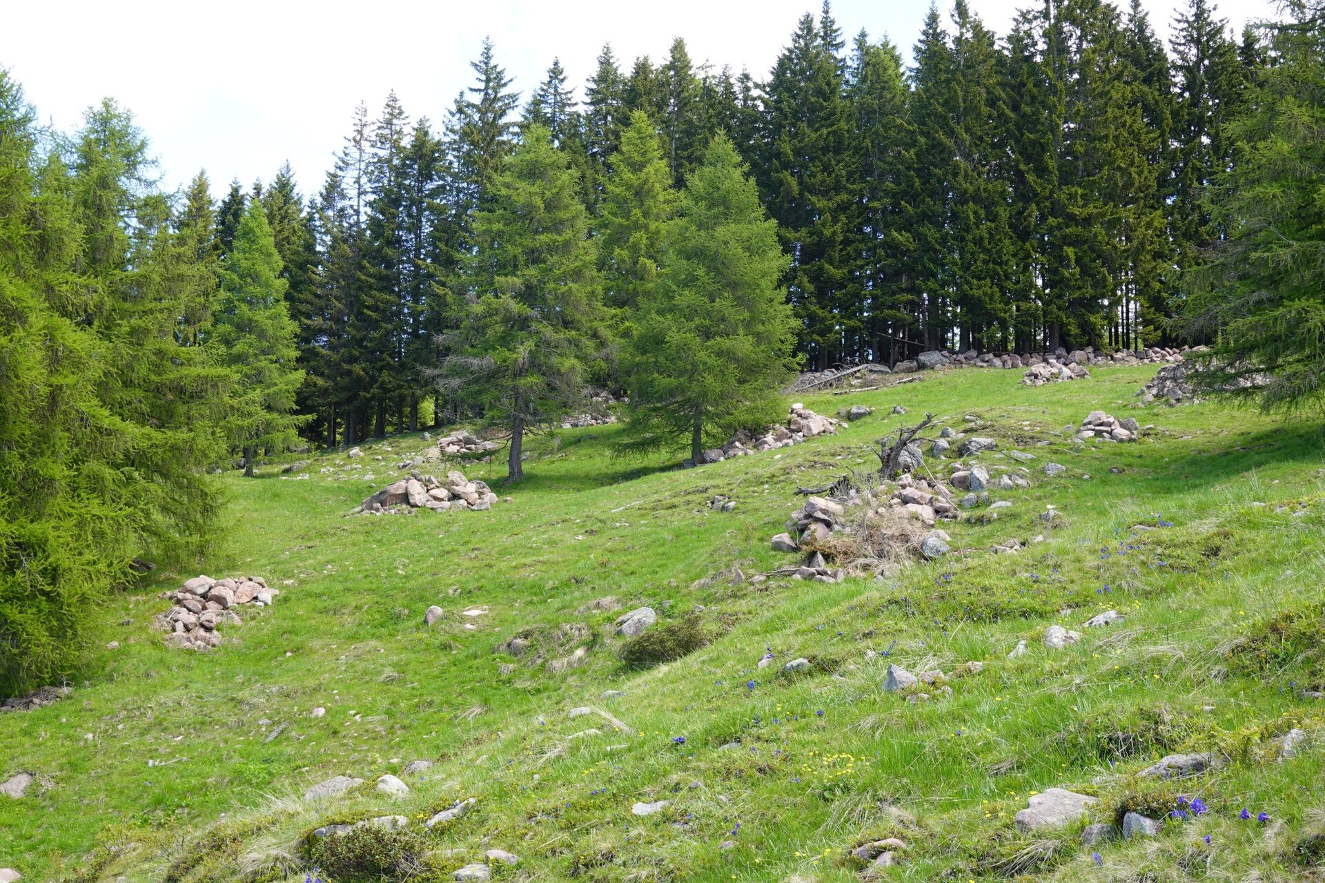
In the past, the Vernera pasture was divided between two mountain huts: Malga Vernera Alta and Malga Vernera Bassa. The first is no longer operational and its stable has collapsed, while Malga Vernera Bassa is still regularly "stocked" with livestock during the summer season and also offers dining services. The route starts right from Malga Vernera Bassa, near which the SAT E469A trail begins; following the edge of the pasture, it passes by Malga Vernera Alta then continues until it reaches the forest road “Bosco dalle Piane,” along which you arrive at the Alpine Chapel and shortly after return to the starting point. The route allows you to admire the alpine pastures of one of the very few mountain huts in Val di Cembra still in operation, as well as the spruce forests that surround them. In the latter, the Vaia storm first and then the bark beetle, a small but formidable spruce parasite, have opened vast areas. A curiosity: the large stone piles shaped like ridges located downhill from Malga Vernera Bassa were created a few years ago as part of a stoneless meadow intervention.
Gallery
Categories
  • Hiking trail
Tags
  • Scenic
  • Fauna
  • Round trip
  • Family-friendly
  • Flora
Route data
Easy
Distance
3,6 km
Duration
1 h 10 min
Ascent
185 m
Decent
185 m
Physical condition
Scenary
Highest point
1.863 m
Lowest point
1.678 m
You might be interested in
Discover related tours
© Sara Zucal, Rete di Riserve Val di Cembra Avisio
Intermediate
Giovo
Nature Trail Mancabrot Lac de Montesel
Distance 4,1 km
Duration 1 h 25 min
Ascent 167 m
Decent 166 m
© Sara Zucal, Rete di Riserve Val di Cembra Avisio
Lona-Lases
Tour of Monte Gorsa
Distance 11,6 km
Duration 4 h 00 min
Ascent 500 m
Decent 500 m
© Sara Zucal, Rete di Riserve Val di Cembra Avisio
Intermediate
Sover, Faver, Grauno, Grumes, Valda
Sover - Grumes, Cammino delle Terre Sospese
Distance 12,8 km
Duration 5 h 15 min
Ascent 718 m
Decent 685 m
Pradi da le Fior | © Elisa Travaglia, Rete di Riserve Val di Cembra Avisio
Intermediate
Valfloriana
The meadows of the Valley of Flowers
Distance 12,5 km
Duration 4 h 30 min
Ascent 700 m
Decent 700 m
Pagoda | © G. Demattio, APT Fiemme Cembra
Easy
Cavalese, Ville di Fiemme
“Points of view” over Cavalese
Distance 2,2 km
Duration 2 h 00 min
Ascent 60 m
Decent 70 m
Passo Oclini - Between Weiß- and Schwarzhorn | © Staff Outdoor Val di Fiemme, APT Fiemme Cembra
Easy
Ville di Fiemme
Short walk between White-and Black Horn
Distance 4,7 km
Duration 1 h 30 min
Ascent 160 m
Decent 160 m