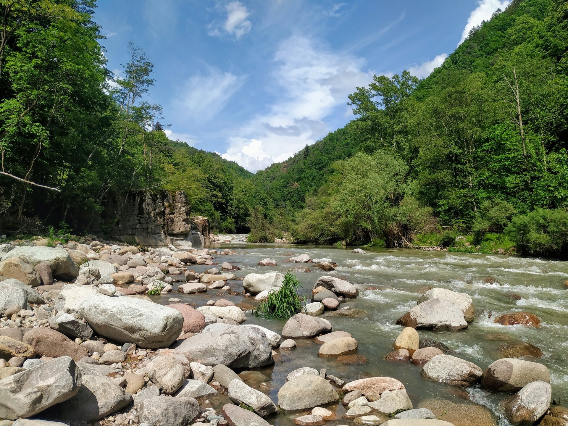
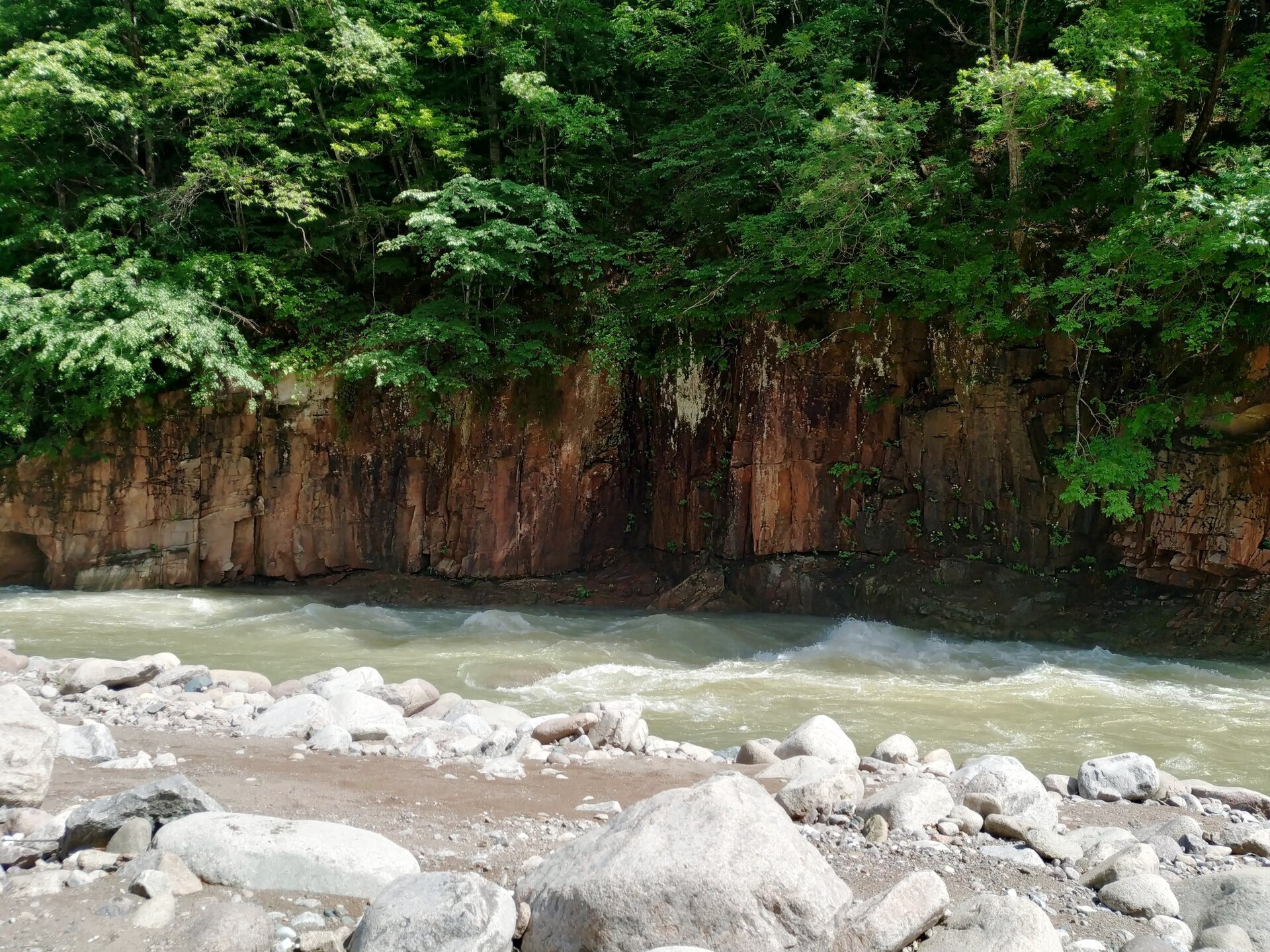
Ischie are areas that lie near the water, on the banks of the Avisio stream. They are alluvial, flat areas that were once often cultivated.
Many of these areas due to their distance from villages, poor accessibility, and due to the floods that completely transformed them making them no longer cultivable, have been abandoned and are now lush forests.
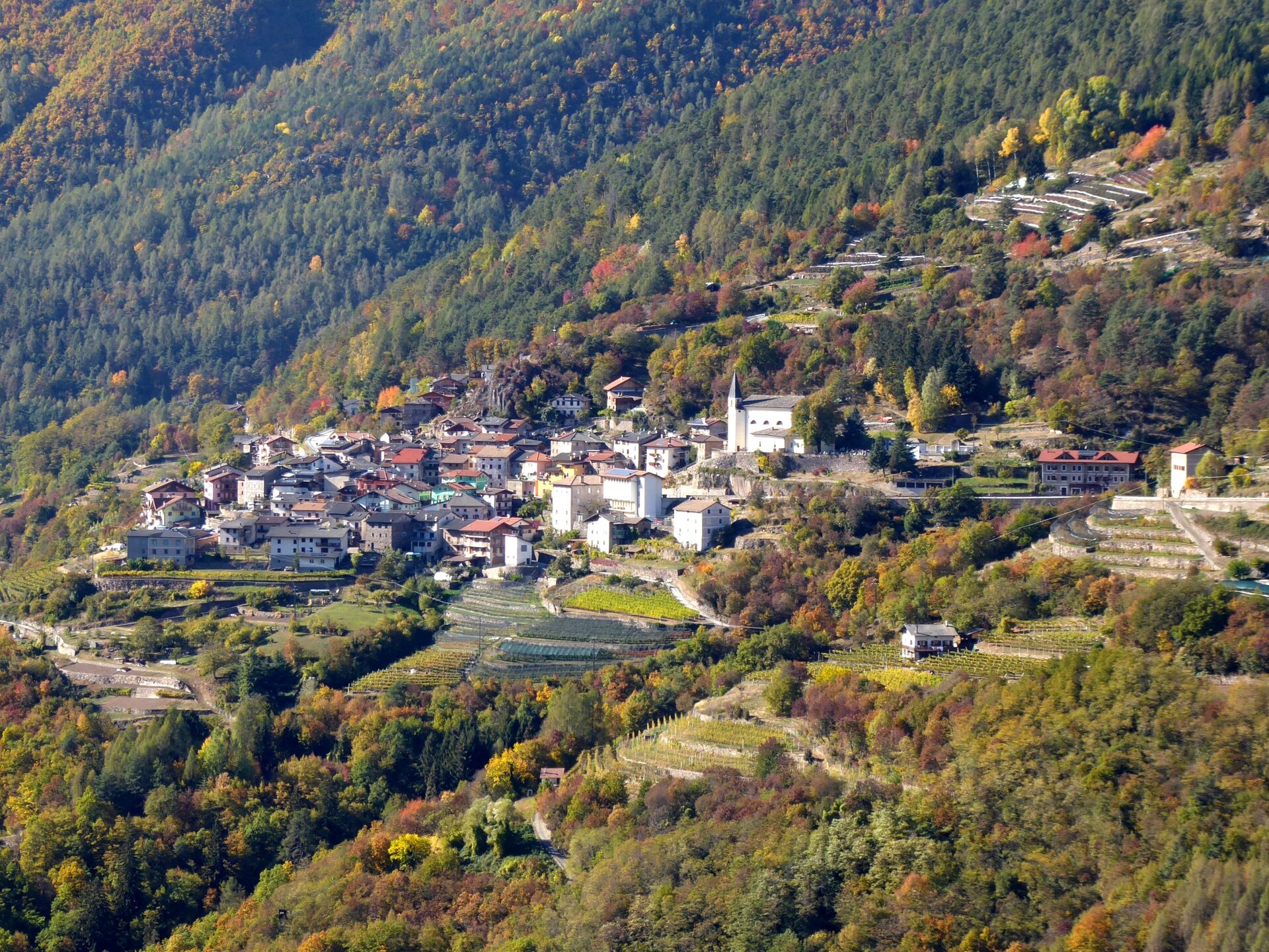
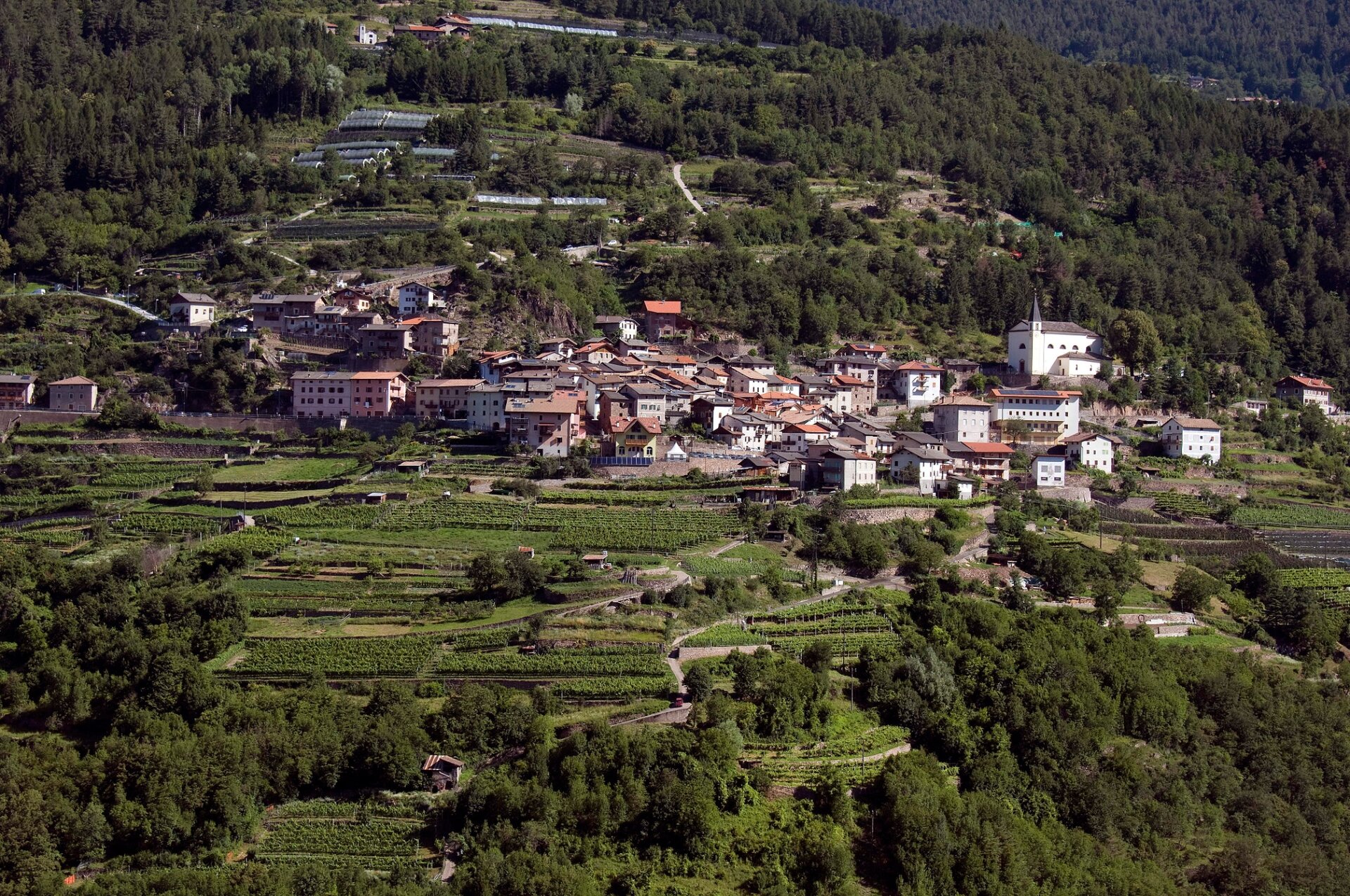
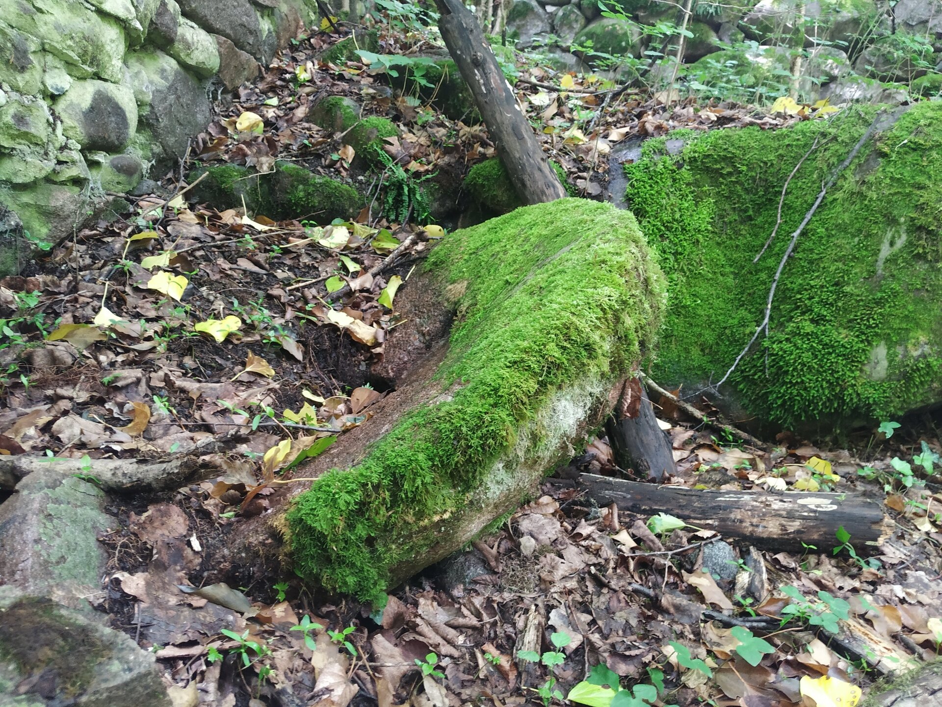
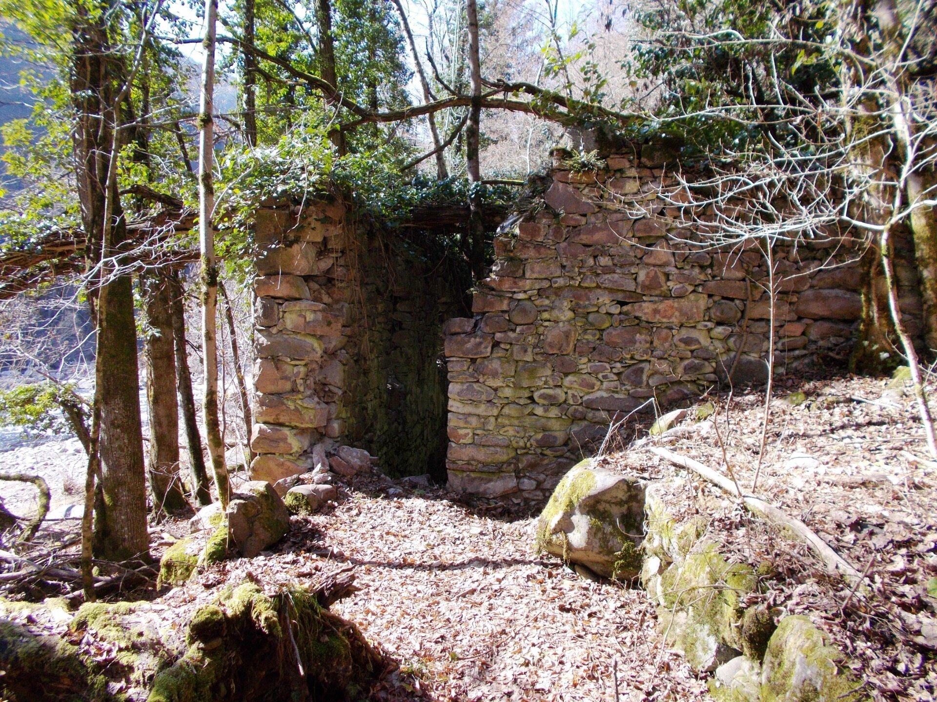
To reach the Ischia and Avisio area, we leave the car at the convenient parking lot along the main road in the village of Valda. We follow via Busna, and then continue on the country road that descends between cultivated fields and vineyards. The Ischia area is easily recognizable: it is a flat, cultivated area, where several small farms and rural huts are encountered near the road. We then continue downstream to take a paved mule track that descends to the river. Once the descent is over, we follow the signs to thus reach the bank of the Avisio where, walking among stones, large boulders, ravines and small sandy beaches for about 300 meters, we arrive at an old ruined structure covered with moss. Continue along the bank for another 100 meters, and where the stream makes a bend to the left it is possible to continue to observe another ruined ruin. From here you leave the bank turning upstream and follow a somewhat vague trail through the woods that takes you back to the country road. It is alternatively possible to turn back to the trail and follow the signs for the path that takes us up a flight of steps among the stones to the country road of the outward journey.
By the same route we then return to the Via Busna parking lot.