Vedení
From Castelir, follow the signs for Forte Dossaccio. The path winds completely on a dirt road; the first section crosses green mountain meadows with some isolated huts. Then you enter the wood that bears traces of the Vaia storm (October 2018).
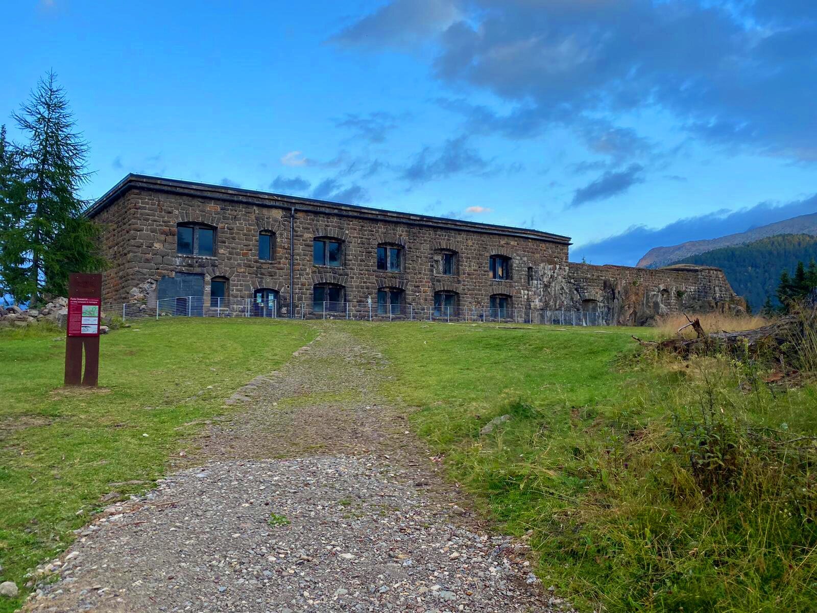
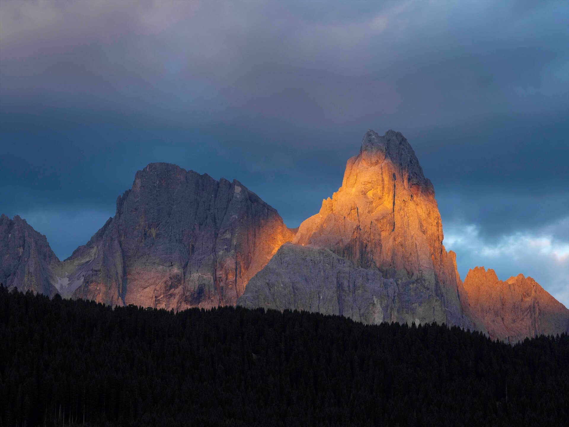
You reach Forte Dossaccio from which you can enjoy a magnificent panorama of the Pale di San Martino and the peaks of the Lagorai chain.
Return back on the same path.
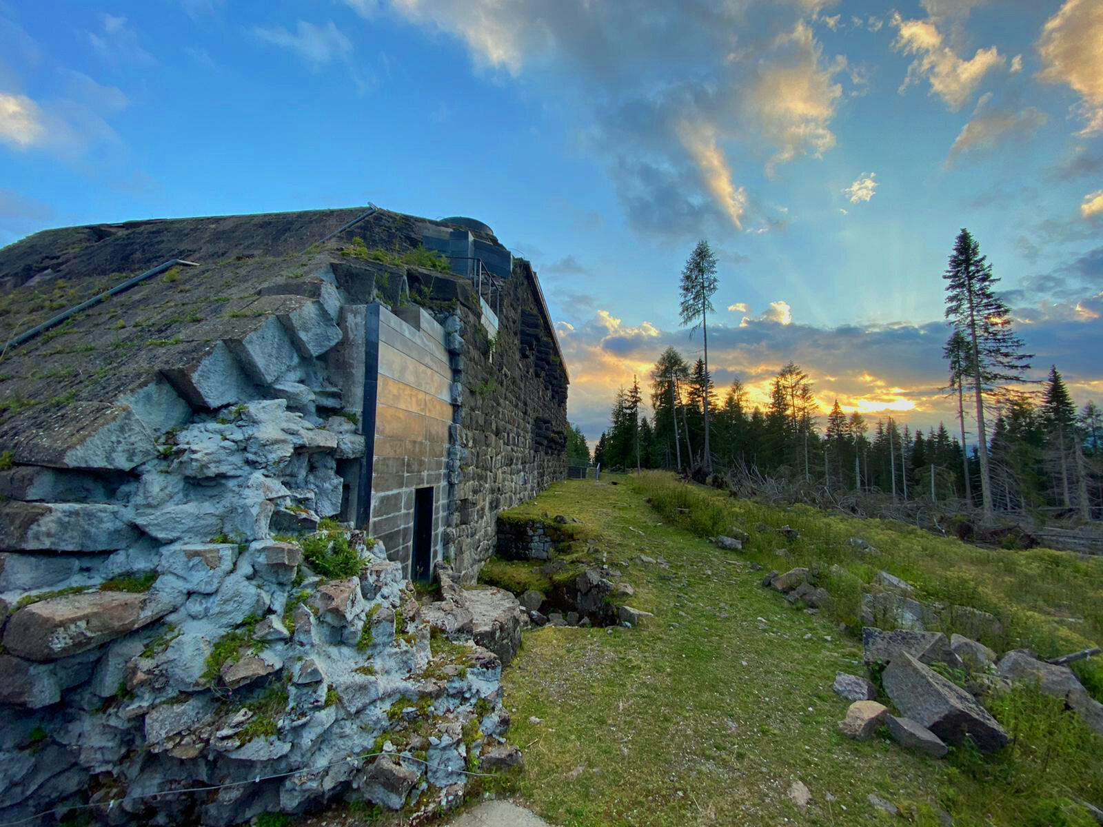
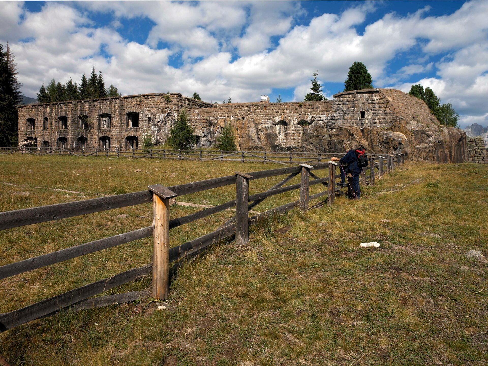
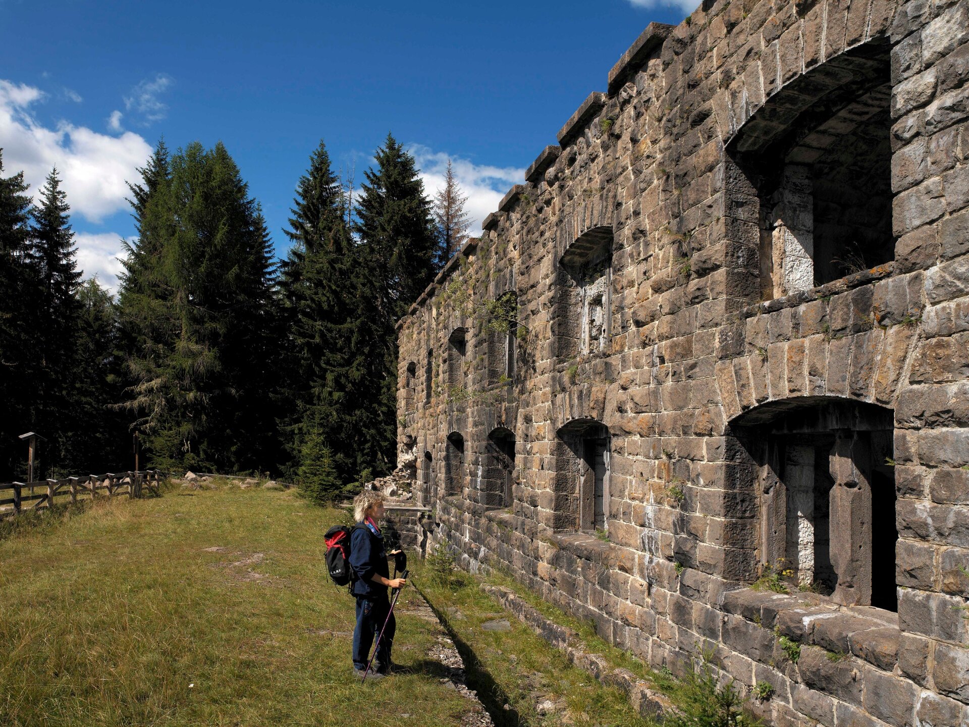
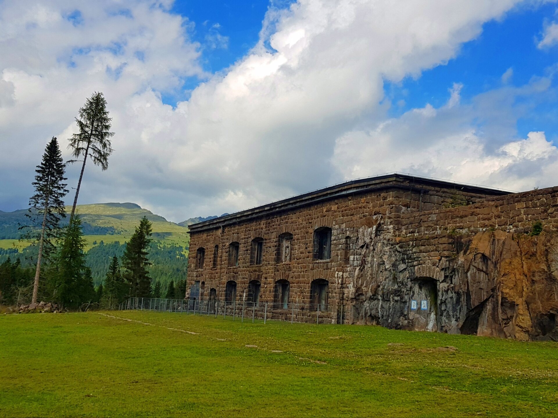
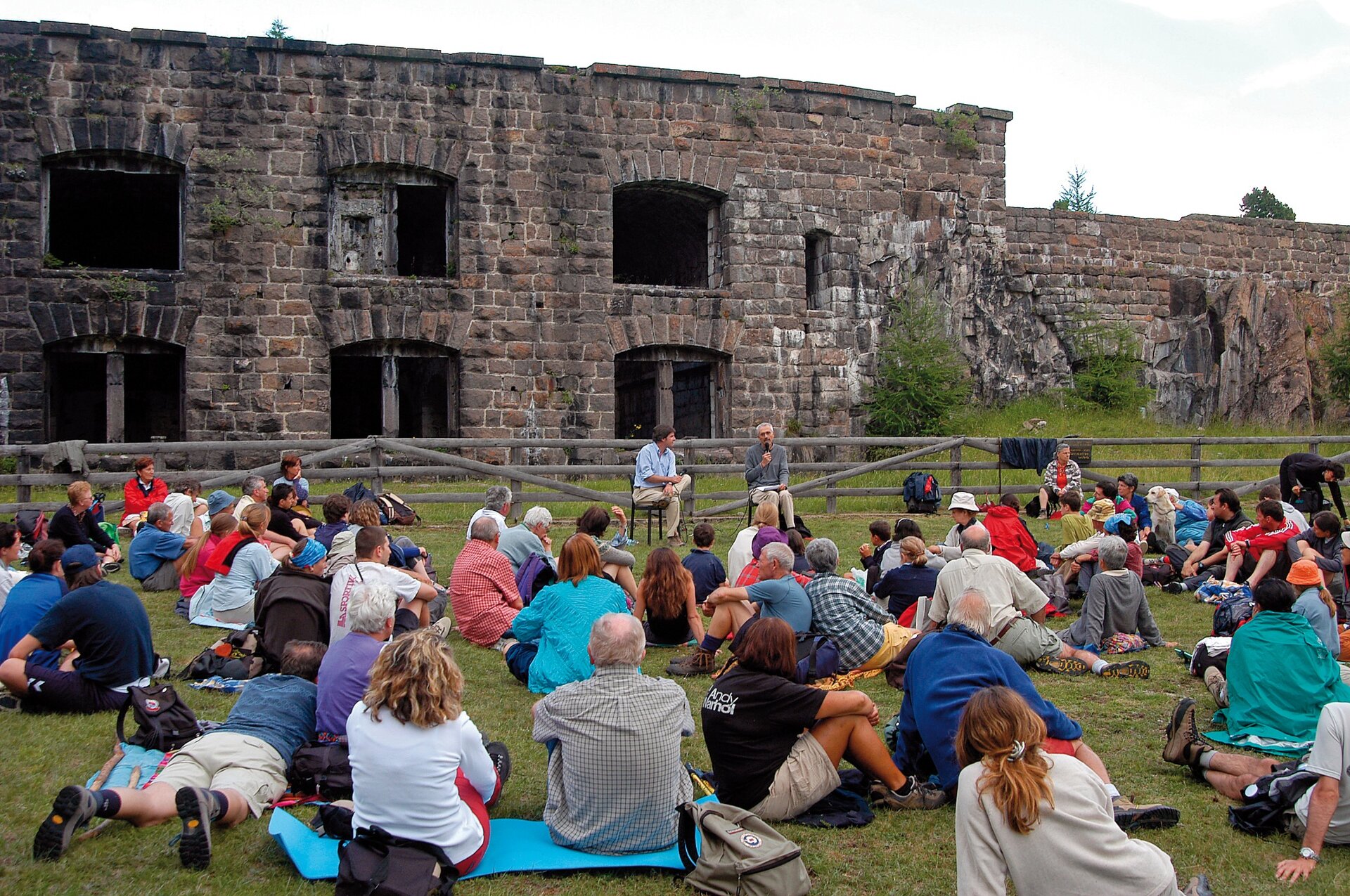
This Austrian fortified complex was built at the same time as the access road to Forte Buso, between 1886 and 1900, and was modernised prior to the war itself (1912). The fort was excavated out of the rock of Dossaccio and built of porphyry blocks.
Next to the fort is a basin for the collection of rainwater (there are obviously no springs here on the summit), a walkway to the lookout tower, tunnels and trenches.
Forte Dossaccio was designed to permit long-range operations from a secure position and allow firing in all directions (towards the Passo Valles, Rolle - Colbricon, Bocche - Juribrutto and possibly also towards Predazzo, if the Lagorai line should have been overrun). The front ditch was provided with a cement covering and a machine gun emplacement.
The fort was armed with four 120 mm cannons in a casemate with minimal embrasures, four 100 mm Howitzers equipped with steel revolving domes and twelve 8 mm machineguns. The fort was also equipped with a tower for signalling and lookout purposes.
During the war the cannons were moved outside the fort and into the woods, partly in subterranean passages connected by tunnels and trenches. The domes of the Howitzers were refashioned in concrete and covered with tree trunks in order to camouflage the new emplacements. In 1915 and 1916 the cannons of the fort played a significant role in the defence of the Passo Rolle and Colbricon line. It was repeatedly bombarded but the large porphyry blocks held up well even when exposed to the 280 mm shells of the Italian artillery.