To the navigation Skip to main content To the footer
Top

Tour 864 - Malga dal Sas

Sover, Valfloriana
Obtížnost
Průměrný
životnost
3:45
v hodinách
Vzdálenost
23.6
in km
Categories
  • Jízda na horském kole
Tags
  • Vyhlídky
  • Fauna
  • Vrcholová trasa
  • Okružní trasa
  • Možnost občerstvení
  • Flóra
Navrhované období
Led.
ún.
út.
Dub.
Květ.
červen
červenec
Srp.
zář.
říj.
List.
Pros.

Medium difficulty route, unforgettable for the splendid natural scenery of the western Lagorai mountain range and a charming passage at the summit of Pradi de la Fior.

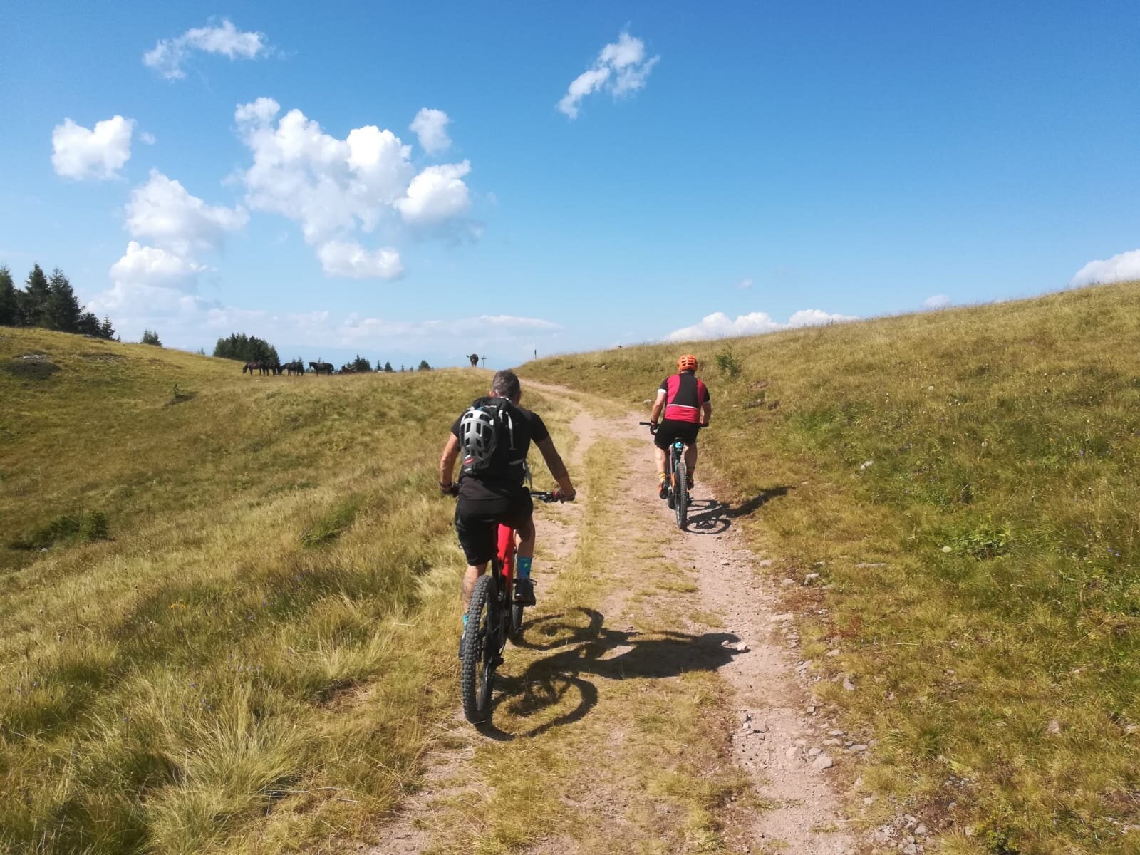
The varied and demanding route runs partly on paved roads and, higher up, through forest roads, single tracks, and fun sections on wooden boardwalks. It allows immersion in the enchanted mountain landscape of the Lagorai range made of lush forests, pastures, and mountain huts.
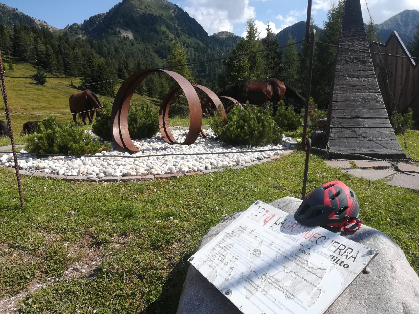
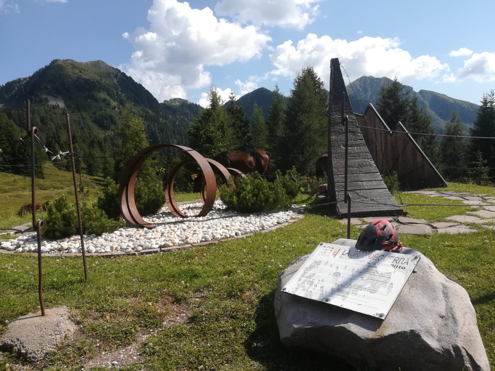
Near Pradi de la Fior, the route passes by the monument to the fallen of the Great War, which recalls the strategic importance the mountains held during the great conflict. 
Gallery
Další informace a užitečné odkazy
Trento Tourist Office - Tel. +39 0461 216000 -

info@visittrento.it - www.visittrento.it

Categories
  • Jízda na horském kole
Tags
  • Vyhlídky
  • Fauna
  • Vrcholová trasa
  • Okružní trasa
  • Možnost občerstvení
  • Flóra
Údaje o trase
Průměrný
Vzdálenost
23,6 km
životnost
3 h 45 min
Do kopce
1.142 m
Slušný
1.143 m
Fyzický stav
Scénář
Nejvyšší bod
2.010 m
Nejnižší bod
1.131 m
Autorův tip

On the route there are seasonal refreshment points: Malga Sass and Baita Pat (check if they are already open)

The climb to Malga Sass is demanding and requires a good level of fitness for those undertaking the route with a muscle-powered MTB.

The trail to Pradi de la Fior is faint in the initial section; stay on the left side of the meadow to find the trail.

This route has intersections with routes no. 866 - Malga Vernera and 868 – Cuore Lagorai.
The route must be followed in the indicated direction.

Also suitable for E-MTB

You might be interested in
Objevte související prohlídky
© M. Felgenhauer, APT Fiemme Cembra
Obtížný
Panchià, Tesero, Ziano di Fiemme, Predazzo
Tagliafuoco e Osservatorio Astronomico - Tour 936
Vzdálenost 27,5 km
životnost 4 h 00 min
Do kopce 636 m
Slušný 636 m
© G. Panozzo, APT Fiemme Cembra
Snadný
Ville di Fiemme, Tesero
Giro delle malghe sull'altopiano di Lavazè
Vzdálenost 20,6 km
životnost 2 h 00 min
Do kopce 440 m
Slušný 440 m
© Ufficio Turistico Altopiano di Piné e Valle di Cembra
Průměrný
Cembra, Lisignago, Faver, Grauno, Grumes, Valda
873 - Lago Santo-Passo Potzmauer
Vzdálenost 22,0 km
životnost 2 h 30 min
Do kopce 832 m
Slušný 833 m
© A. Campanile, APT Fiemme Cembra
Snadný
Capriana, Castello-Molina di Fiemme
Parco Naturale Monte Corno: Capriana e Anterivo - Tour 921
Vzdálenost 16,3 km
životnost 1 h 45 min
Do kopce 550 m
Slušný 550 m
© Ufficio Turistico Altopiano di Piné e Valle di Cembra
Snadný
Giovo
871 - Monte Corona
Vzdálenost 17,0 km
životnost 2 h 45 min
Do kopce 647 m
Slušný 650 m
© Ufficio Turistico Altopiano di Piné e Valle di Cembra
Průměrný
Faver, Grauno, Grumes, Valda
874 - Masi di Grumes-Cauria
Vzdálenost 17,4 km
životnost 4 h 30 min
Do kopce 811 m
Slušný 815 m