To the navigation Skip to main content To the footer
Top

Il paese fantasma di Ischiazza

Capriana, Valfloriana
Obtížnost
Snadný
životnost
2:00
v hodinách
Vzdálenost
4.4
in km
Categories
  • Pěší výlet
Tags
  • Okružní trasa
  • Kultura / historie
Navrhované období
Led.
ún.
út.
Dub.
Květ.
červen
červenec
Srp.
zář.
říj.
List.
Pros.

This small abandoned village on the banks of the Avisio stream speaks volumes of a world which is no more

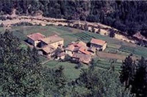
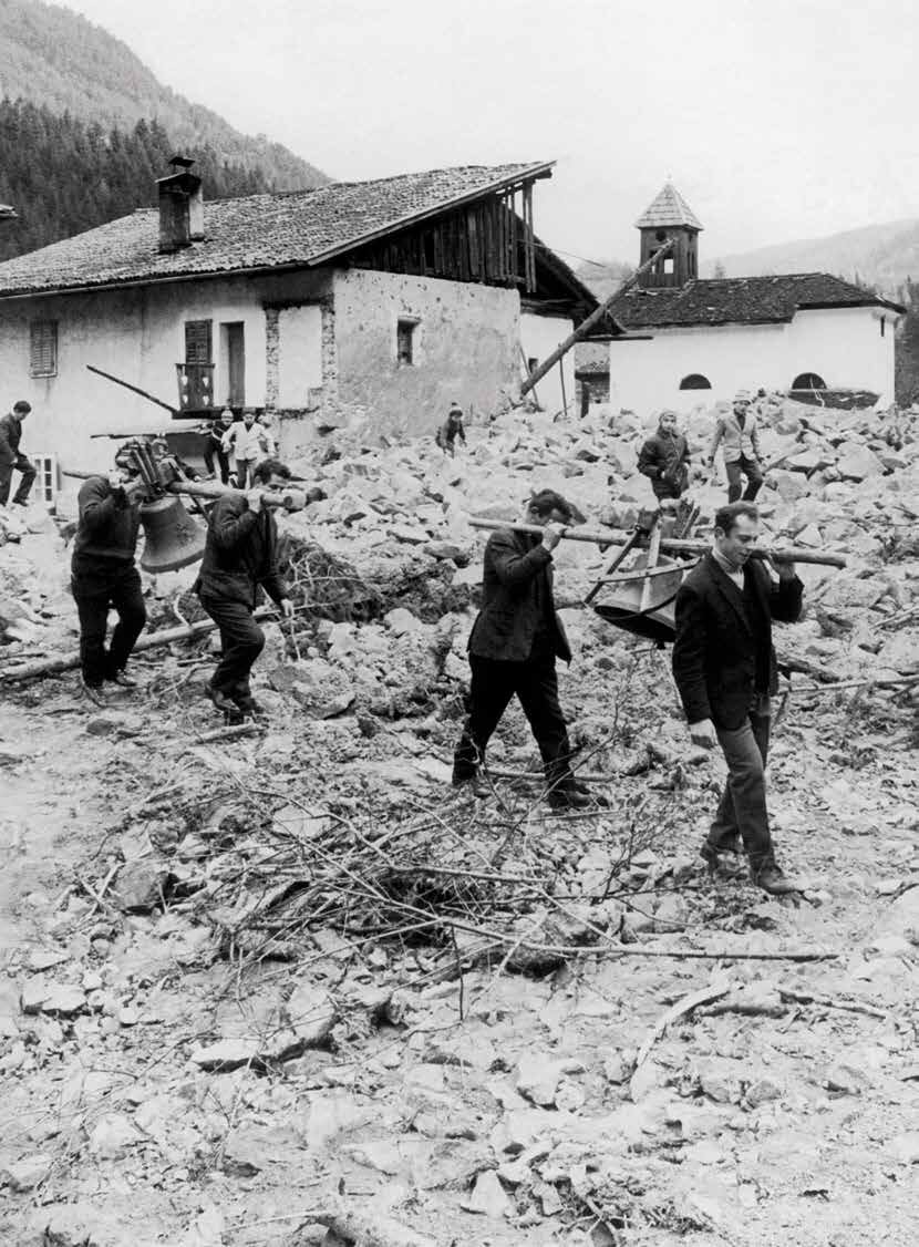
Ischiazza village is on the Avisio, along a farmed flood plain around 700 metres down the valley from the Stramentizzo dam. In 1966 forty-four people lived there. During the devastating flood which hit the town of Valfloriana, incessant rain caused a great many landslides and rivers of mud invaded the town. The same fate awaited Maso village a few km further down the valley.

The inhabitants of Ischiazza succeeded in getting to safety in higher villages and, when the flood had subsided, they returned to their almost entirely destroyed village to see what could be salvaged. On 20 November 1966 the survivors carried their Christ and sacred artefacts from the church along the mule track to the village of Casatta above, making Ischiazza’s demise official.

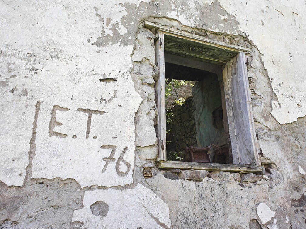
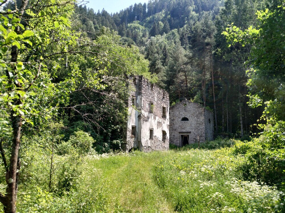
This route starts from Pradel village on the attractive cobbled mule track which descends gently in the direction of Ischiazza, with the Avisio stream visible through the trees below. Just before you get to the ghost town you come across the ruins of an unusual building to the left of the road. It was an oven used to dry corn. All that remains of Ischiazza now is ruins with the church recognisable, a few large agricultural buildings and an old stone fountain sticking up out of the ground.

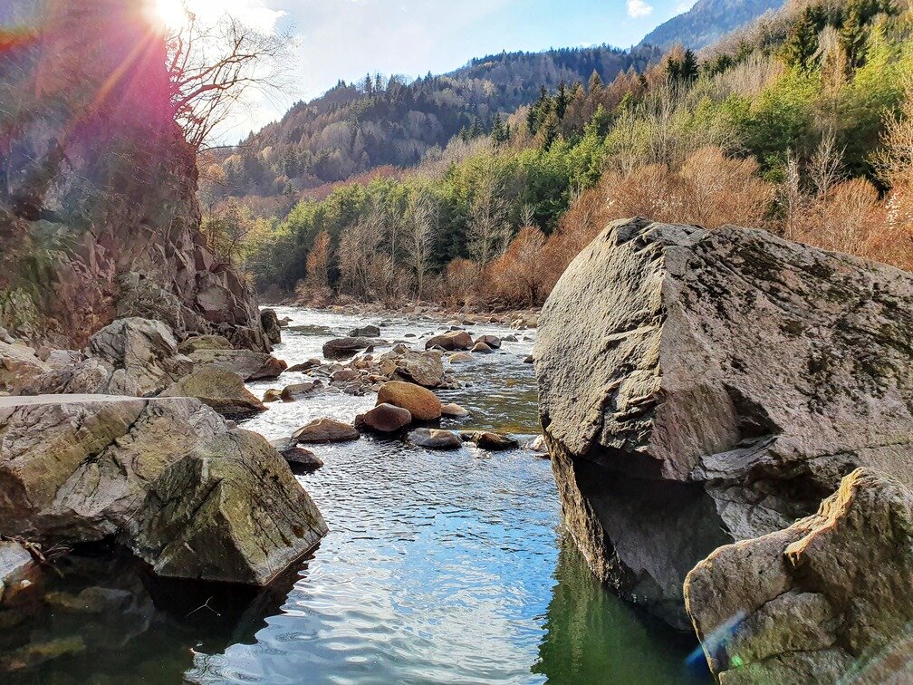
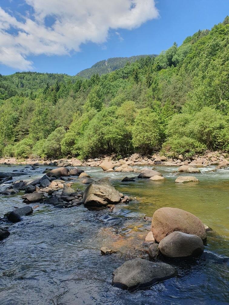
A one kilometre long straightforward footpath crosses through the town and continues down along the Avisio stream, with beautiful views. Retrace your steps to your starting point
Gallery
Categories
  • Pěší výlet
Tags
  • Okružní trasa
  • Kultura / historie
Údaje o trase
Snadný
Vzdálenost
4,4 km
životnost
2 h 00 min
Do kopce
150 m
Slušný
150 m
Fyzický stav
Scénář
Nejvyšší bod
867 m
Nejnižší bod
698 m
You might be interested in
Objevte související prohlídky
© Staff Outdoor Val di Fiemme, APT Fiemme Cembra
Snadný
Ville di Fiemme
Passo Oclini, tra il Corno Nero e il Corno Bianco
Vzdálenost 4,7 km
životnost 1 h 30 min
Do kopce 160 m
Slušný 160 m
© N. Delvai, APT Fiemme Cembra
Snadný
Ville di Fiemme
Carano - Passeggiata dei Pini
Vzdálenost 4,0 km
životnost 1 h 20 min
Do kopce 140 m
Slušný 140 m
© AringaStudio, APT Fiemme Cembra
Snadný
Ville di Fiemme
Il giro del Solombo
Vzdálenost 7,3 km
životnost 2 h 30 min
Do kopce 190 m
Slušný 190 m
© Staff Outdoor Val di Fiemme ND, APT Fiemme Cembra
Průměrný
Tesero
Montagna Senza Limiti - Pampeago, la montagna che osserva
Vzdálenost 6,5 km
životnost 2 h 00 min
Do kopce 201 m
Slušný 201 m
© Rete di Riserve Val di Cembra Avisio
Průměrný
Sover
Alpeggi alle pendici del Lagorai
Vzdálenost 11,0 km
životnost 4 h 30 min
Do kopce 700 m
Slušný 700 m
© Alessandro Cristofoletti, Rete di Riserve Val di Cembra Avisio
Faver, Grauno, Grumes, Valda, Cembra, Lisignago
Il Lago Santo e il Rifugio alpino Potzmauer
Vzdálenost 18,0 km
životnost 6 h 00 min
Do kopce 650 m
Slušný 650 m