To the navigation Skip to main content To the footer
Top

Tour 865 - Piramidi

Segonzano
Obtížnost
Obtížný
životnost
3:00
v hodinách
Vzdálenost
18
in km
Categories
  • Jízda na horském kole
Tags
  • Vyhlídky
  • Geologické zajímavosti
  • Okružní trasa
  • Možnost občerstvení
  • Kultura / historie
Navrhované období
Led.
ún.
út.
Dub.
Květ.
červen
červenec
Srp.
zář.
říj.
List.
Pros.

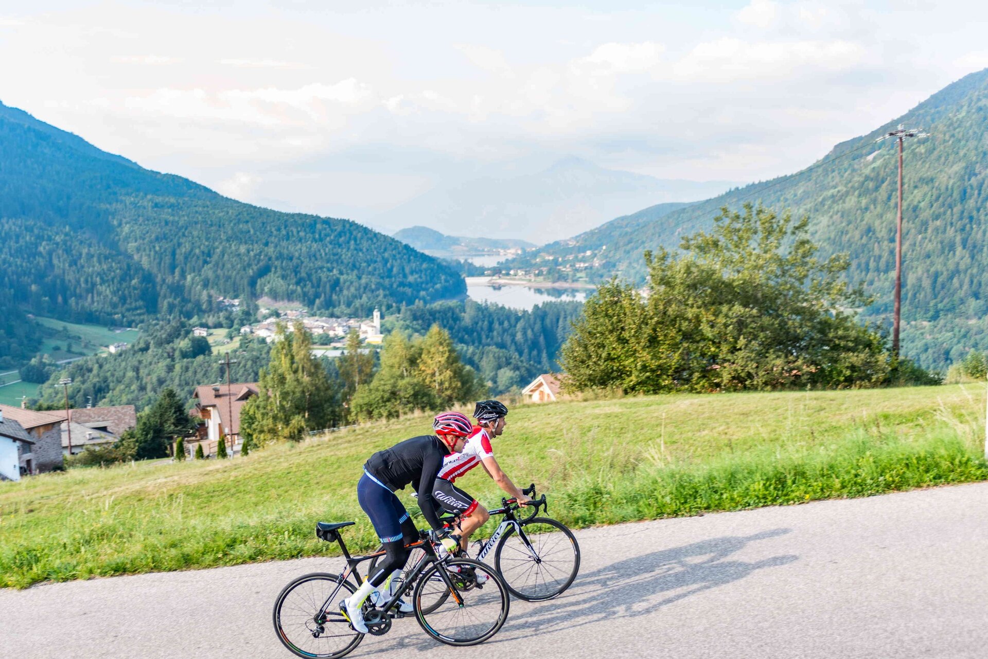
Moderately demanding route that leads to the discovery of important tourist sites such as the geological site of the Segonzano Pyramids.

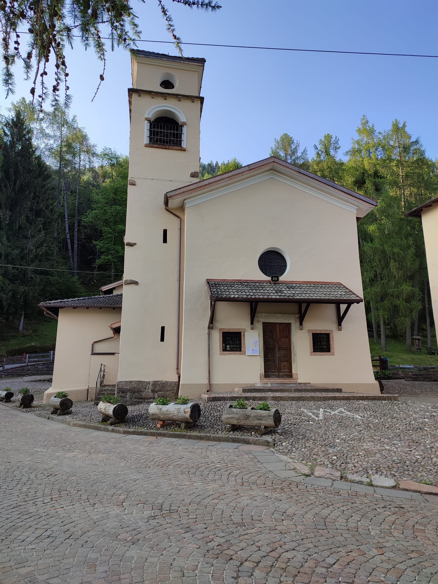
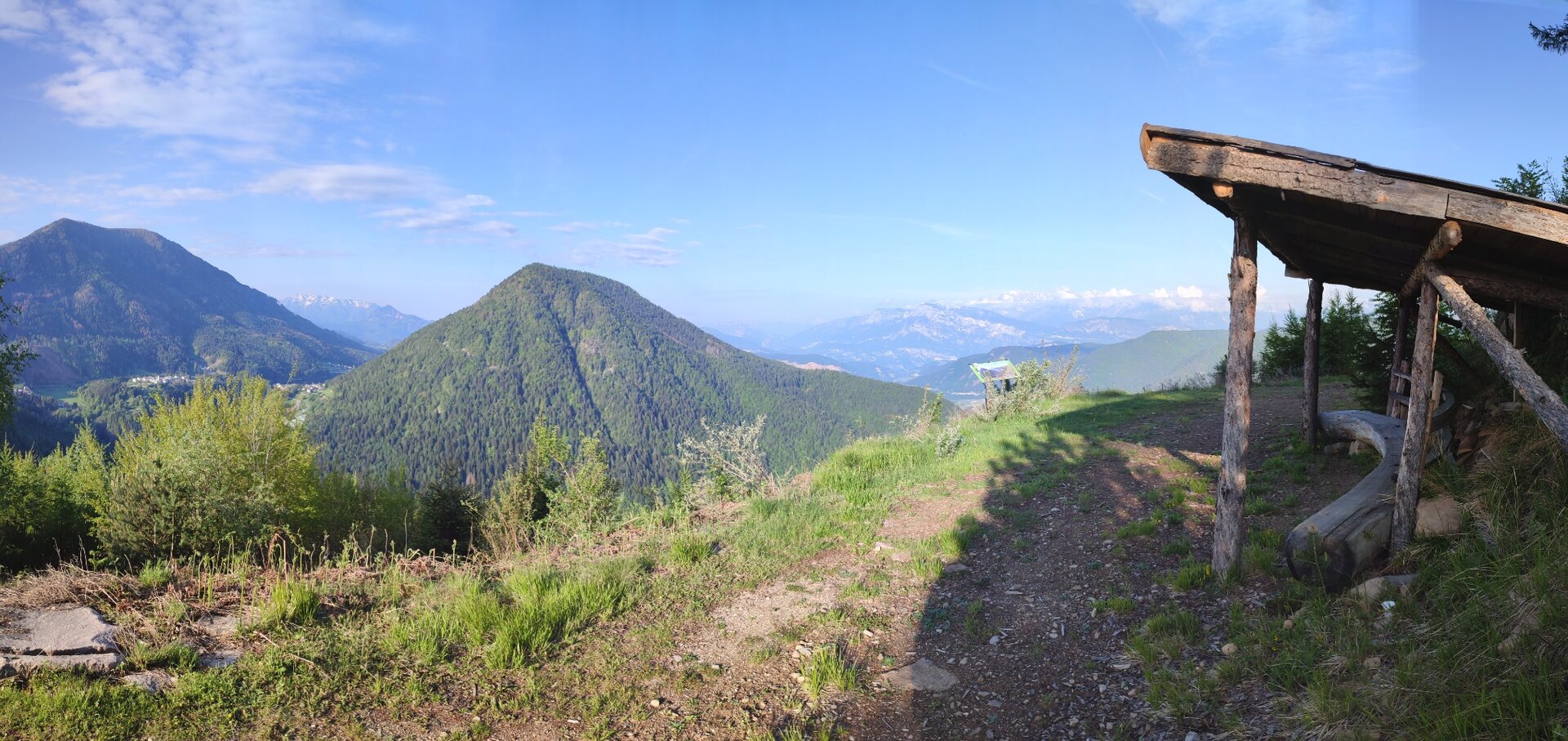
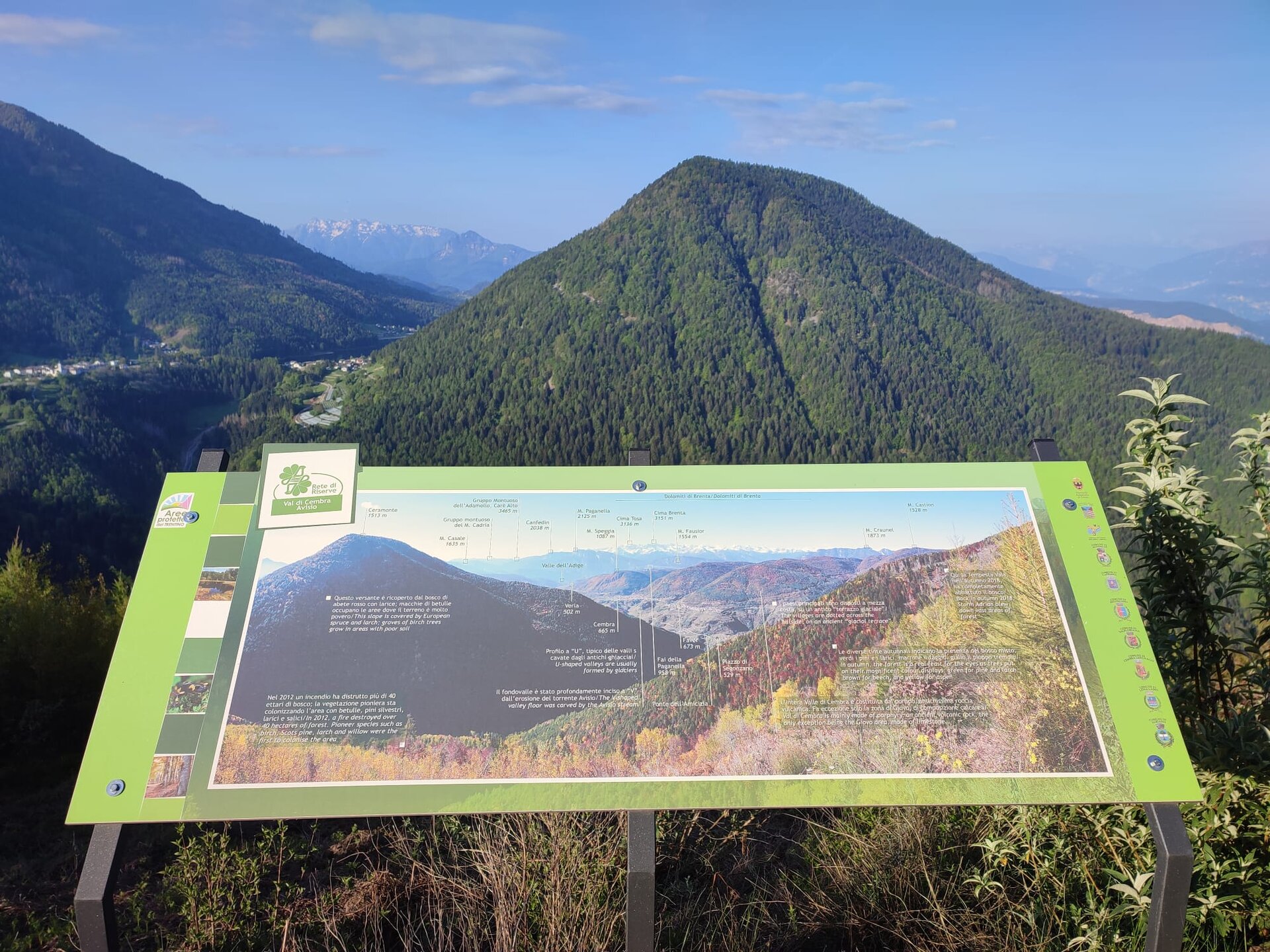
Route that requires more effort in the first part of the route, during which you climb through the whole village of Bedollo and then continue on the forest road through the pine forest leading to the now-abandoned village of Gausaldo. This is the highest point of the route. From here onwards, you proceed downhill through the woods to discover the Sanctuary of Madonna dell’Aiuto and the village of Stedro di Segonzano, with its ancient chapel and the view over the Avisio Valley. Two viewpoints along the asphalt road leading to the village of Quaras are worth noting, offering a privileged view of the earth pyramids of Segonzano, bizarre earth pinnacles topped by a large rock.
Gallery
Další informace a užitečné odkazy
Trento Tourist Office - Tel. +39 0461 216000 -

info@visittrento.it - www.visittrento.it

Categories
  • Jízda na horském kole
Tags
  • Vyhlídky
  • Geologické zajímavosti
  • Okružní trasa
  • Možnost občerstvení
  • Kultura / historie
Údaje o trase
Obtížný
Vzdálenost
18,0 km
životnost
3 h 00 min
Do kopce
722 m
Slušný
721 m
Fyzický stav
Scénář
Nejvyšší bod
1.366 m
Nejnižší bod
733 m
Autorův tip

WARNING: follow the GPX track and the indications on this page. Sections to push on the trail from Capitel del Franzele to Gausaldo and from Segonzano ascending on trail E5 up to Marteri di Bedollo.

Don't miss the panoramic views of the Piné Plateau and its lakes from the village of Bedollo.

You might be interested in
Objevte související prohlídky
© Ufficio Turistico Altopiano di Piné e Valle di Cembra
Průměrný
Cembra, Lisignago, Giovo
872 - Roccolo del Sauch
Vzdálenost 14,4 km
životnost 2 h 15 min
Do kopce 492 m
Slušný 482 m
© Neznámý
Průměrný
Sover, Valfloriana
Tour 864 - Malga dal Sas
Vzdálenost 23,6 km
životnost 3 h 45 min
Do kopce 1.142 m
Slušný 1.143 m
© T. Gregorian, APT Fiemme Cembra
Průměrný
Predazzo
VARIANTE Gli "Abeti di Risonanza" - Tour 933
Vzdálenost 17,7 km
životnost 2 h 00 min
Do kopce 256 m
Slušný 769 m
© Ufficio Turistico Altopiano di Piné e Valle di Cembra
Průměrný
Castello-Molina di Fiemme, Capriana, Faver, Grauno, Grumes, Valda
875 - Monte Corno
Vzdálenost 24,1 km
životnost 4 h 30 min
Do kopce 1.289 m
Slušný 1.289 m
© M. Felgenhauer, APT Fiemme Cembra
Průměrný
Tesero, Ziano di Fiemme, Predazzo, Cavalese, Panchià, Ville di Fiemme
La Val di Stava e Guagiola - Tour 928
Vzdálenost 38,0 km
životnost 4 h 15 min
Do kopce 350 m
Slušný 1.460 m
© Neznámý
Průměrný
Sover, Valfloriana
Tour 866 - Malga Vernera
Vzdálenost 13,5 km
životnost 2 h 35 min
Do kopce 635 m
Slušný 635 m