To the navigation Skip to main content To the footer
Top

I passi e le malghe: Passo Cugola e Passo Oclini - Tour 924

Cavalese, Ville di Fiemme
Trudność
Trudne
Czas przejścia
5:30
w godzinach
Dystans
37
in km
Categories
  • Kolarstwo górskie (MTB)
Tags
  • Piękne widoki
  • Trasa okrężna
  • Bufet
Sugerowany okres
St.
It.
Mrz.
Kw.
Maj
Czerw.
Lip.
Sierp.
Wrz.
Paźd.
List.
Grudz.

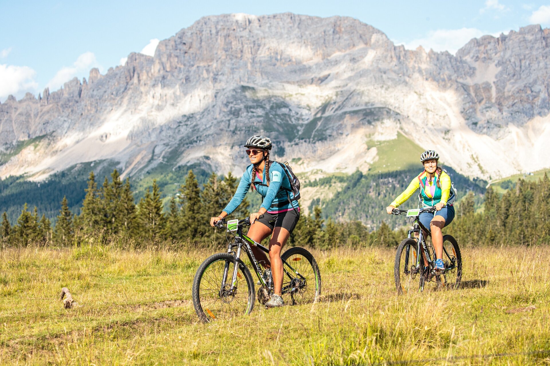
Very nice and challenging tour that can be mastered with good athletic preparation and a certain dose of technical skills.

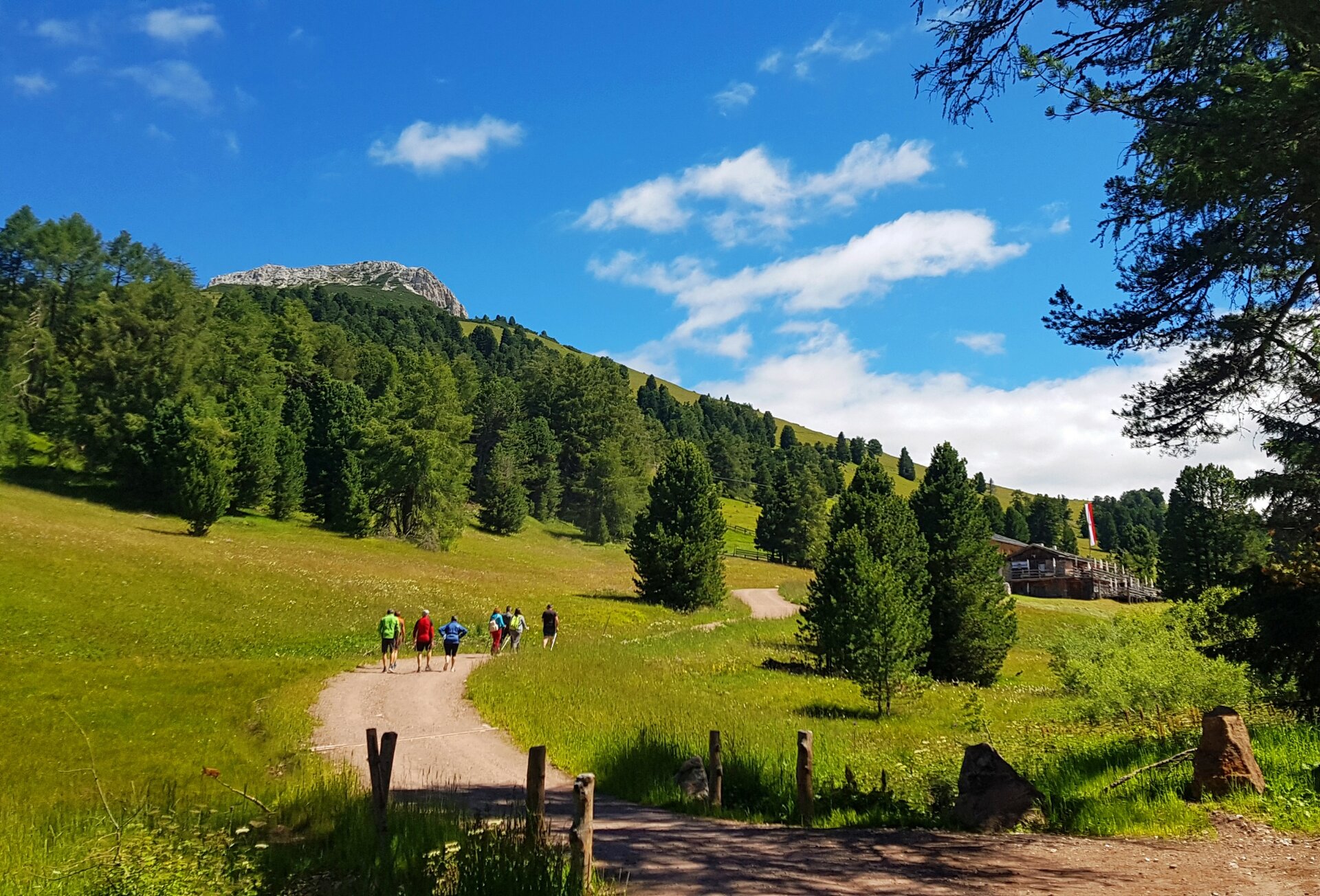
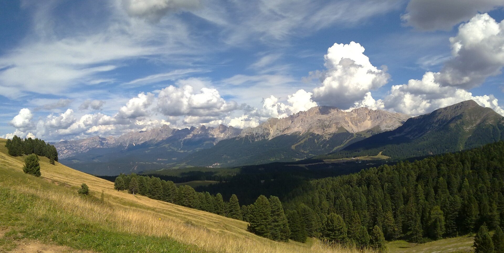
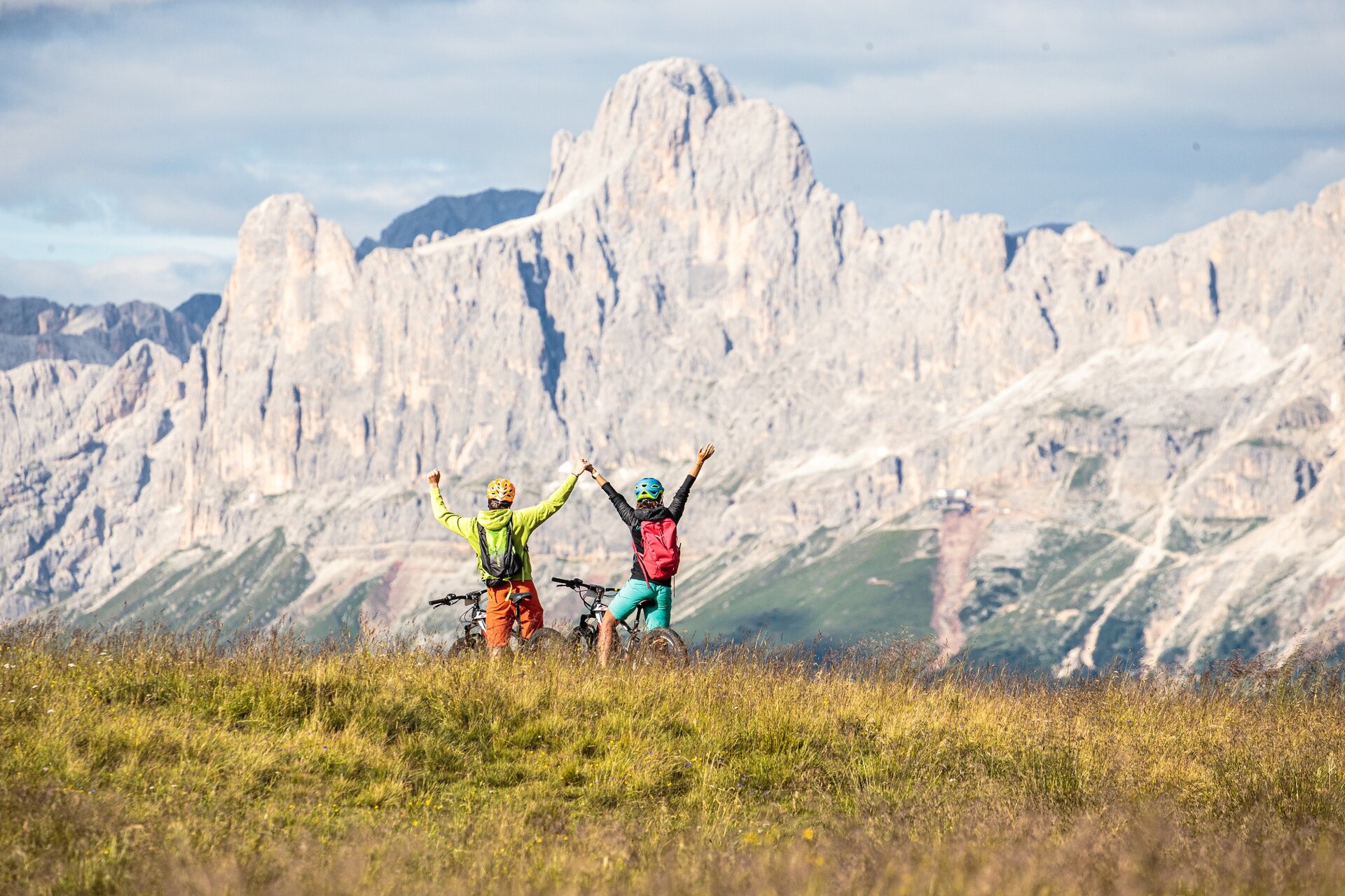
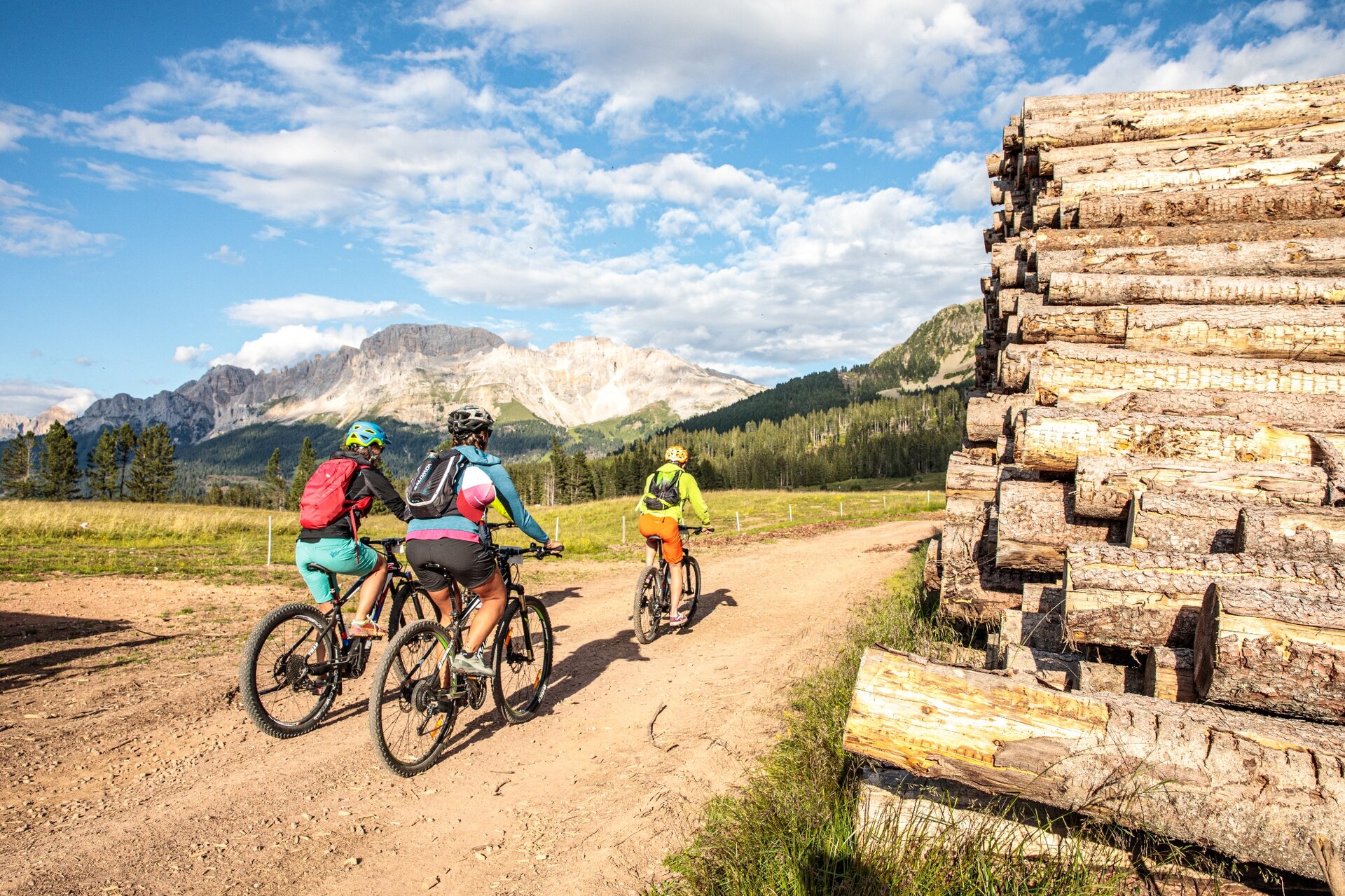
The challenging part begins in the forest above loc. Ganzaie. Here you leave the wide pastures of Daiano behind you and you take the long uphill forest road that leads towards Passo Cugola. From this point you get a big reward: the panorama that opens up to the Val di Fiemme, a view as far as the eye can see, on the Lagorai chain and the villages below. Once at Passo Oclini, the horizon widens, the lungs fill with fresh air and the eyes fill with wonderful views. 

From the Oclini Pass, it is obligatory to descend to Varena using the asphalted road. The track on the map is closed due to works.
Gallery
Dalsze informacje i przydatne linki

APT Val di Fiemme - Tel. +39 0462 241111 - info@visitfiemme.it - www.visitfiemme.it 

Categories
  • Kolarstwo górskie (MTB)
Tags
  • Piękne widoki
  • Trasa okrężna
  • Bufet
Dane trasy
Trudne
Dystans
37,0 km
Czas przejścia
5 h 30 min
Pod górę
1.200 m
Przyzwoity
1.200 m
Stan fizyczny
Scenariusz
Najwyższy punkt
1.991 m
Najniższy punkt
994 m
Wskazówka autora

Also suited for E-MTB.

You might be interested in
Odkryj powiązane wycieczki
© Staff Outdoor Val di Fiemme ND, APT Fiemme Cembra
łatwy
Lona-Lases
861 - Lago di Lases-Lago di Santa Colomba
Dystans 16,8 km
Czas przejścia 2 h 30 min
Pod górę 468 m
Przyzwoity 460 m
© G. Panozzo, APT Fiemme Cembra
średni
Cavalese, Panchià, Ville di Fiemme, Tesero
Tour della Val di Fiemme: i paesi della Magnifica Comunità - Tour 927
Dystans 31,1 km
Czas przejścia 4 h 00 min
Pod górę 650 m
Przyzwoity 650 m
© Ufficio Turistico Altopiano di Piné e Valle di Cembra
średni
Cembra, Lisignago, Giovo
872 - Roccolo del Sauch
Dystans 14,4 km
Czas przejścia 2 h 15 min
Pod górę 492 m
Przyzwoity 482 m
© Nieznany
średni
Sover, Valfloriana
Tour 864 - Malga dal Sas
Dystans 23,6 km
Czas przejścia 3 h 45 min
Pod górę 1.142 m
Przyzwoity 1.143 m
© Ufficio Turistico Altopiano di Piné e Valle di Cembra
średni
Castello-Molina di Fiemme, Capriana, Faver, Grauno, Grumes, Valda
875 - Monte Corno
Dystans 24,1 km
Czas przejścia 4 h 30 min
Pod górę 1.289 m
Przyzwoity 1.289 m
© Ufficio Turistico Altopiano di Piné e Valle di Cembra
średni
Cembra, Lisignago, Faver, Grauno, Grumes, Valda
873 - Lago Santo-Passo Potzmauer
Dystans 22,0 km
Czas przejścia 2 h 30 min
Pod górę 832 m
Przyzwoity 833 m