Excursion between Valfloriana and Sover, discovering ancient evidence of the ancestral relationship between man and the forest
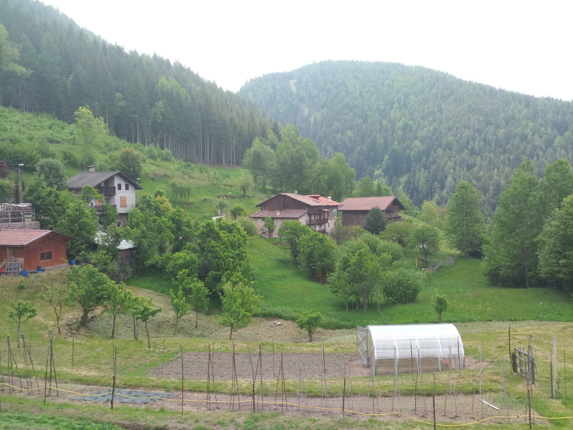
Our route starts from the locality Bait dal Manz, which is located just after Sicina, the last and highest of the hamlets of Valfloriana. From Bait dal Manz, we take the dirt road heading towards Monte Escapitolare: the boundary line between the territories of Sover and Valfloriana and the subject of centuries-old disputes between the two communities.
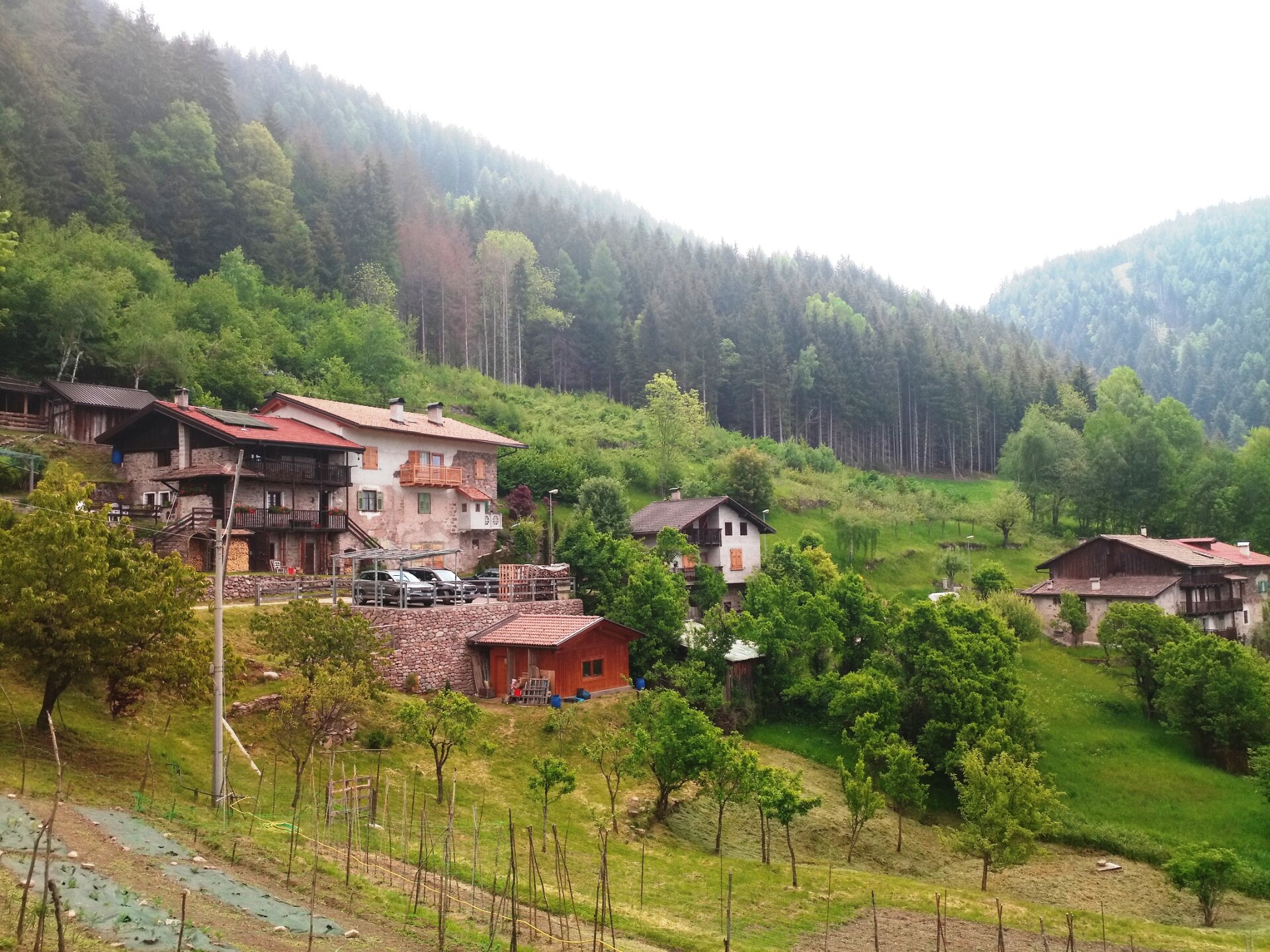
The trail continues through the forest and leads us to the beautiful hamlet of Monte Alto, in the territory of Sover: a cluster of houses that well preserve the traditional Trentino architecture in wood and stone and which from above dominate the Cembra valley offering us a spectacular panorama.
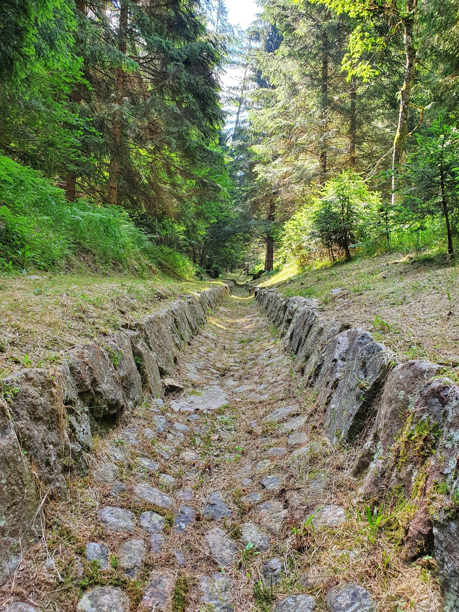
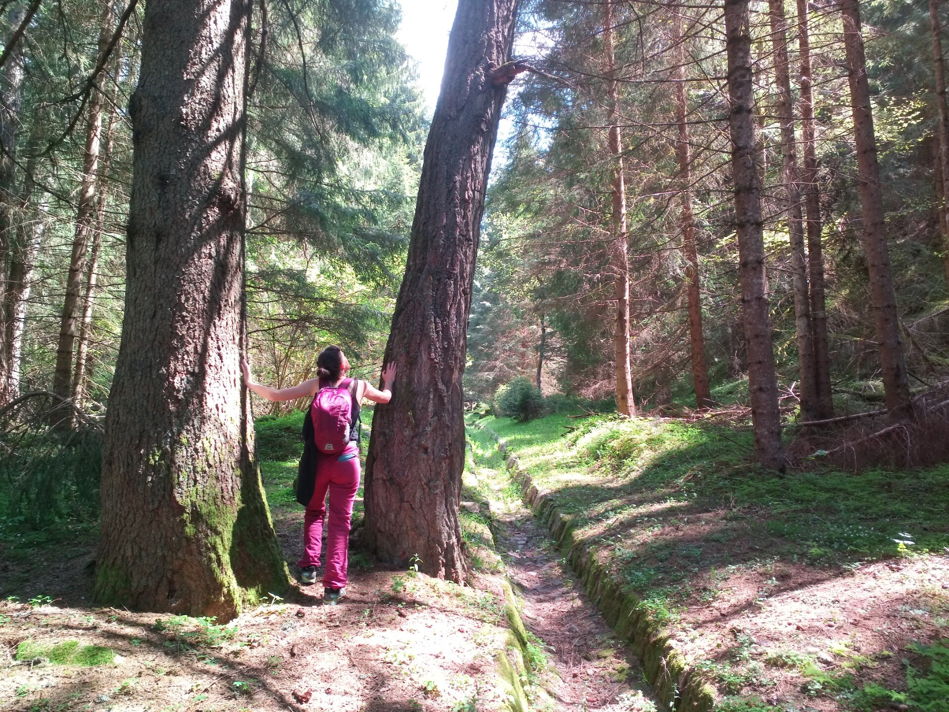
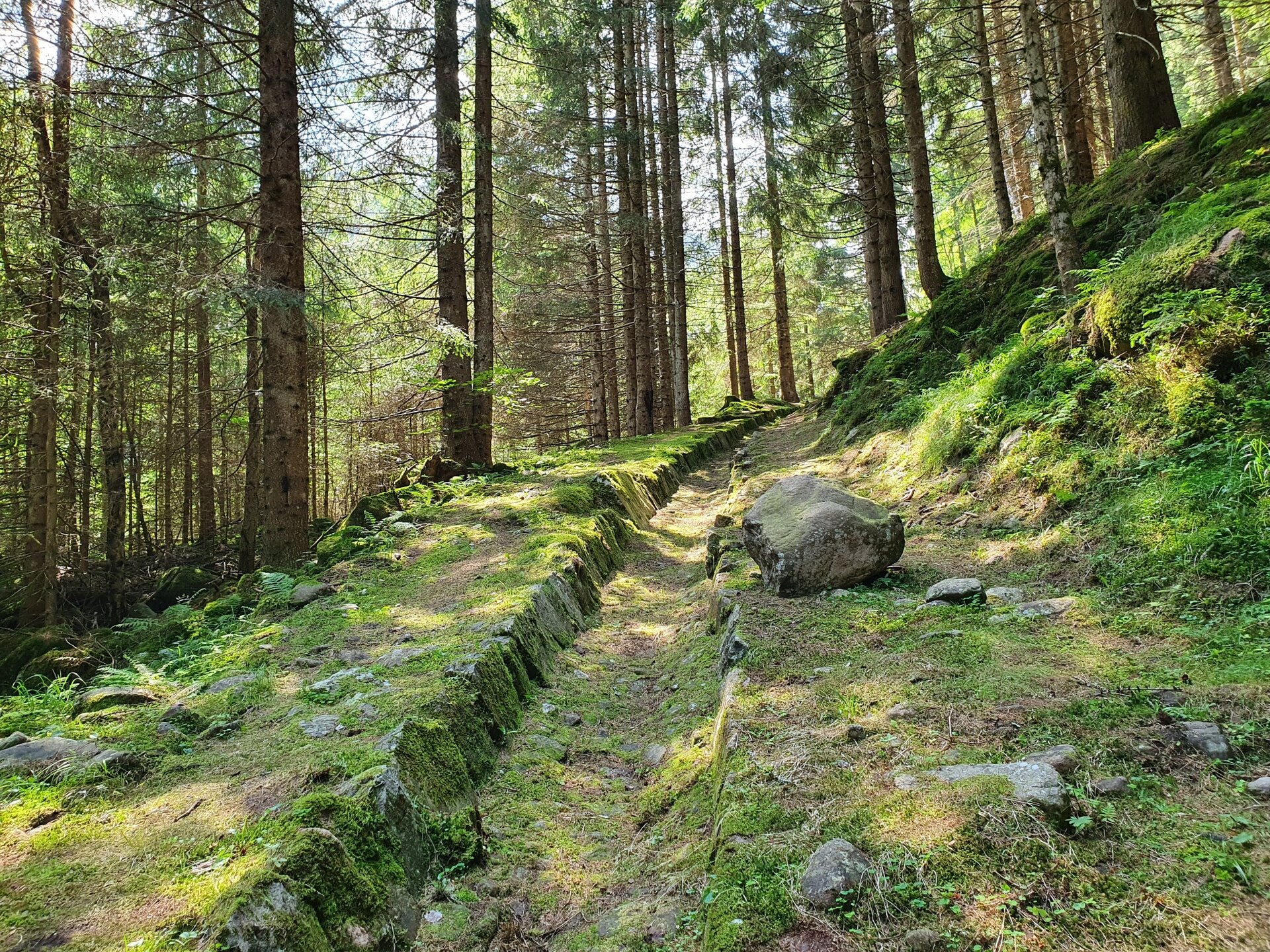
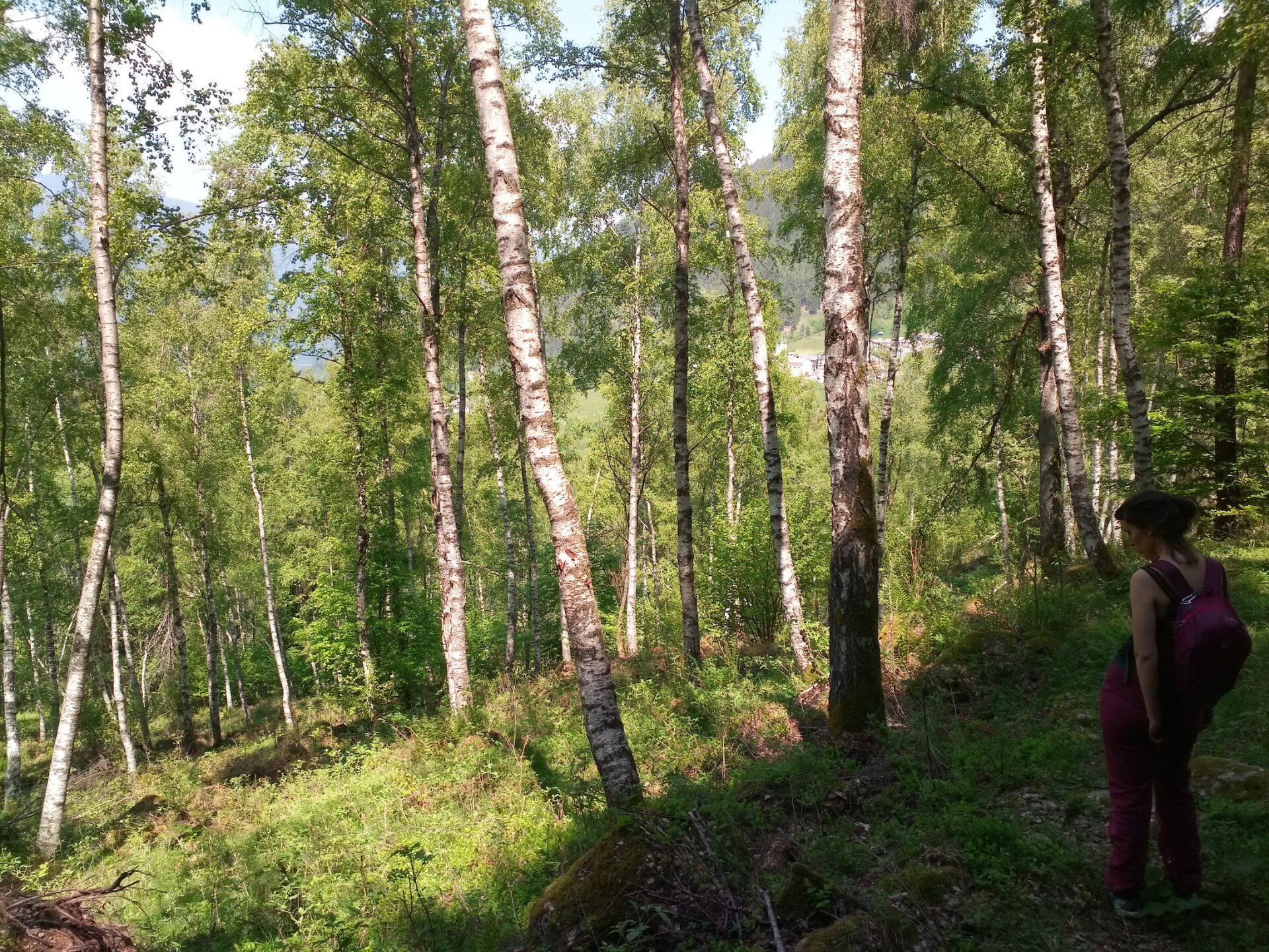
From Monte Alto we take the path that, crossing silent woods, brings us back towards the territory of Valfloriana. In Valfloriana the bond with the forest has always been particularly deep. Beyond the majestic forests that shape the landscape here, this is shown by an important historical testimony: the Cava de le Bore. It is an ancient stone-made structure, a sloping channel paved with stone, which the lumberjacks used to bring timber cut in the high forests down to the valley. A particularly dangerous job, but fundamental for this small mountain community. The Cava de le Bore of Valfloriana was destroyed by the 1966 flood but thanks to an important restoration work by the municipal administration we can still admire this precious work of mountain ingenuity today.
The last stretch of our route takes us precisely to visit the Cava de le Bore, which we follow along the path dedicated to Marco Nones, who was mayor of Valfloriana for twenty years, and finally return to Bait dal Manz.