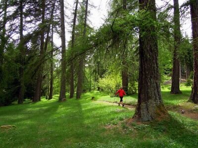
A trail in circle, a walk around the big larch trees of Capriana.
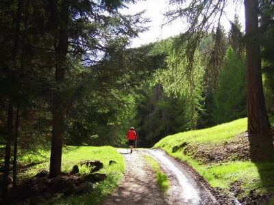
From the place Prà del Manz this itinerary goes smoothly uphill though a large and mixed wood of larch and spruce fir trees. Among all surprises you can find on this trail there is an amazing majestic silver fir tree named Pec del Bosnia. This tree was saved from the felling by an old forest ranger who decided to keep it as a heritage for all of us. Along the path larch trees rule the roost. They are humble and generous trees that with their light foliage let the grass grow under them so that the livestock can graze there.
The short path is appropriate for a walk. During autumn larch trees change their color to golden-yellow and give these places a magic atmosphere.
This trail is appropriate to combine the walk together with some Nordic Walking practice (Tables NW “Percorso della Peschiera”)
Wytyczne dotyczące bezpieczeństwa
Even if this trail is not technically difficult and has no dangerous stretches, we always and in any case suggest to follow the general rules on safety for mountain hikes.
Prepare your itinerary
Choose an excursion appropriate for your real ability and training level
Choose the fitting equipment
Check the weather forecast
Hiking alone is risky
Give details about your itinerary and about the approximate hour of your return
Do not hesitate to entrust you to an expert
Pay attention to the indication and signals you will find along your journey
Do not hesitate to retrace your steps
In case of accident: ask for help and call the number 112
Punkt początkowy
Prà del Manz (Capriana)
Wskazówki dojazdu
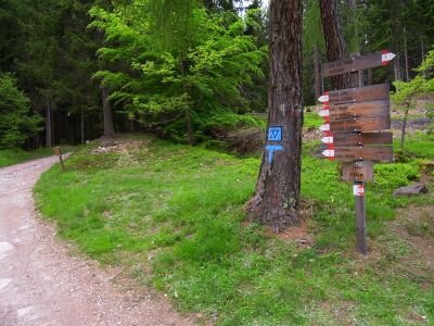
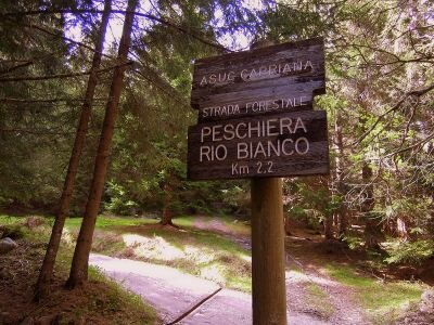
Starting from Prà del Manz this itinerary goes smoothly uphill to the place Pradi on path n.1. At the place Peschiera turn left on a beautiful and mainly flat forest road where you will find some amazing trees, among them an amazing majestic silver fir tree. Going left down on path n.2 you will go back on an easy forest road to the ancient and amazing larch wood of Pradi and then to Prà del Manz.
Jak dojechać
To drive here from Trento, you need to follow the main road S.S. 612 north to Capriana, where, before entering the town, you will find the road signs to reach Prà del Manz.
To drive here from the valley Val di Fiemme, you need to follow the main road S.S. 612 south to Capriana, where, before entering the town, you will find the road signs to reach Prà del Manz.
Gdzie zaparkować
Free parking in the forecourt of Prà del Manz
Trekking shoes or mountain boots
Trekking poles
You might be interested in
Odkryj powiązane wycieczki
średni
Predazzo
Cima Viezzena
Dystans
9,5 km
Czas przejścia
4 h
00 min
Pod górę
590 m
Przyzwoity
590 m
Trudny
Predazzo
Cima Bocche
Dystans
16,7 km
Czas przejścia
6 h
30 min
Pod górę
960 m
Przyzwoity
960 m
łatwy
Faver, Grauno, Grumes, Valda
Escursione al Rifugio Potzmauer - da Grumes
Dystans
5,0 km
Czas przejścia
2 h
20 min
Pod górę
320 m
Przyzwoity
314 m
Status
otwarte
łatwy
Giovo
Sentiero del Mancabrot e del Lac de Montesel
Dystans
8,4 km
Czas przejścia
3 h
30 min
Pod górę
400 m
Przyzwoity
400 m
średni
Predazzo
Tra porfido e dolomia: trekking con vista Lagorai e Pale di San Martino - Tappa 2