To the navigation Skip to main content To the footer
Top

Il Sentiero dei vecchi mestieri - da Sover

Sover
Trudność
średni
Czas przejścia
3:30
w godzinach
Dystans
8.5
in km
Categories
  • Szlaki piesze
Tags
  • Piękne widoki
  • Trasa okrężna
  • Kultura / Historia
Sugerowany okres
St.
It.
Mrz.
Kw.
Maj
Czerw.
Lip.
Sierp.
Wrz.
Paźd.
List.
Grudz.

Historic farmhouses, limestone, ancient chestnuts trees and the wild Avisio stream on an incredibly varied route

The itinerary follows a section of the Historic Crafts ethnographic footpath along the left bank of the Cembra valley.

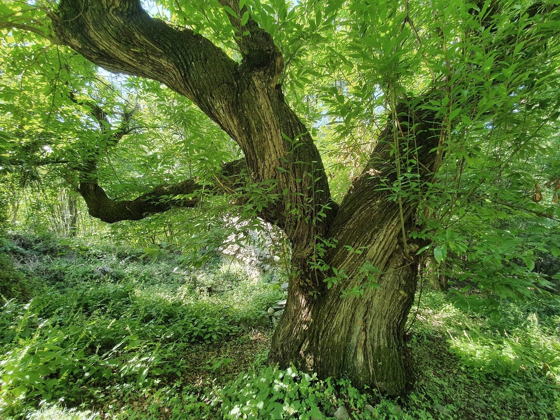
Starting from Sover town centre, take a straightforward road just outside the town which soon turns into a footpath and continues to the village of Piscine, before descending to SP71, crossing it and turning onto a cobbled mule track which descends steeply into the valley. Just a little further on Castegnar de la paia is waiting for us, a majestic over 400-year-old chestnut tree.

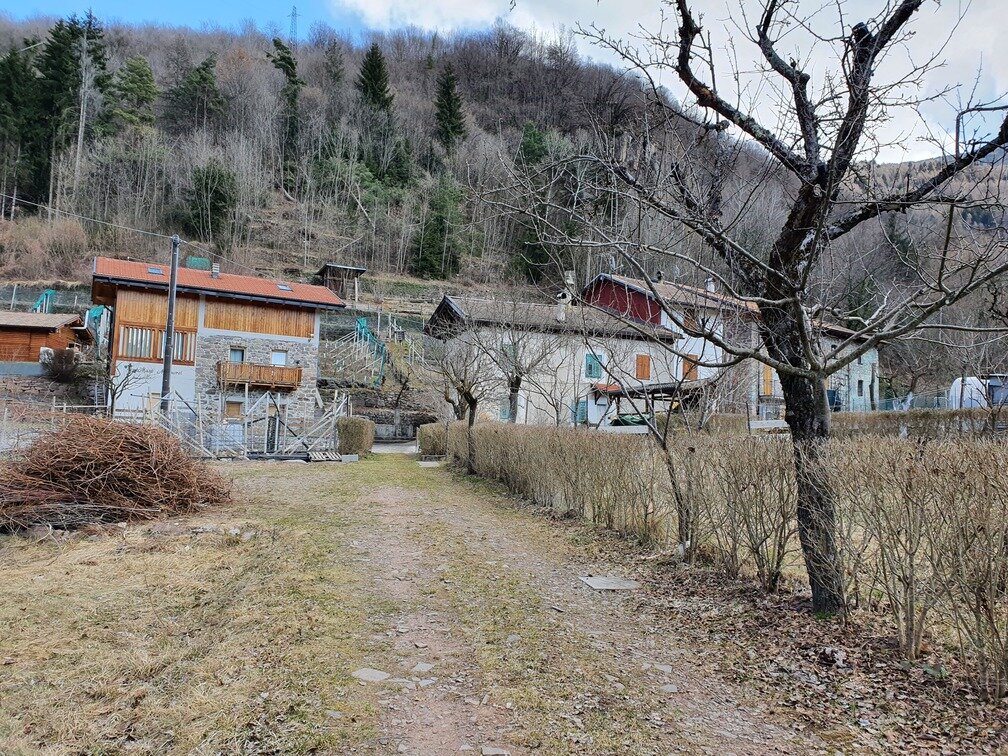
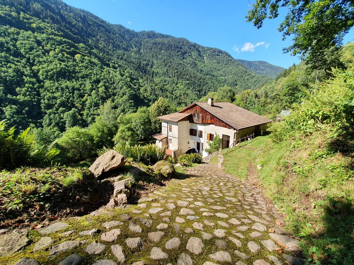
Continuing downhill takes you out at a group of splendid historic farmhouses some of which have been lovingly restored in accordance with traditional architectural styles. You are now at Maso Pianaci.

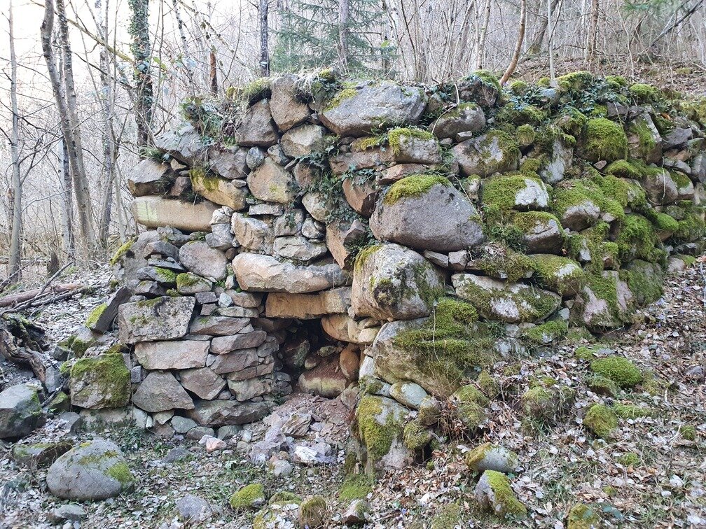
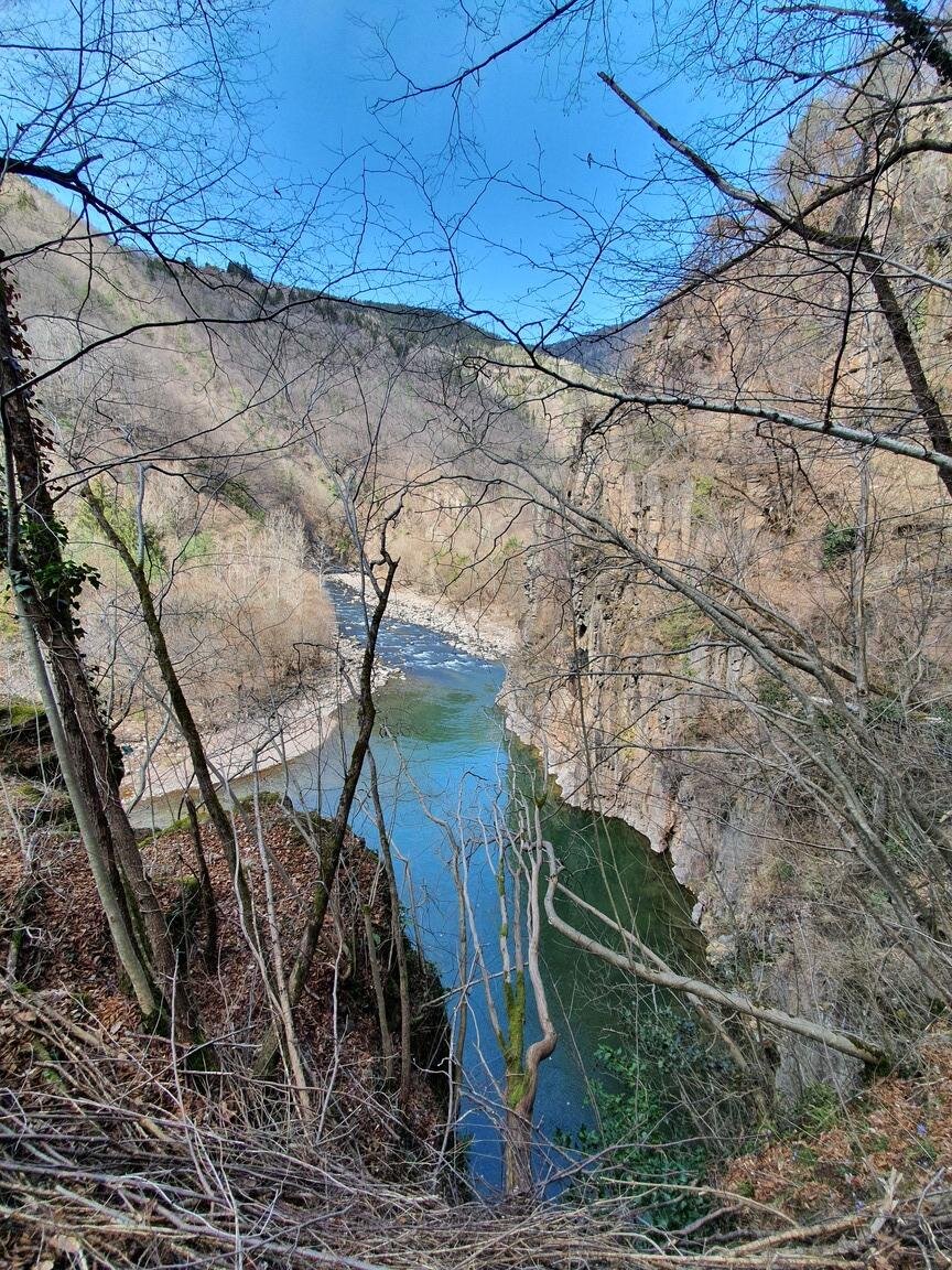
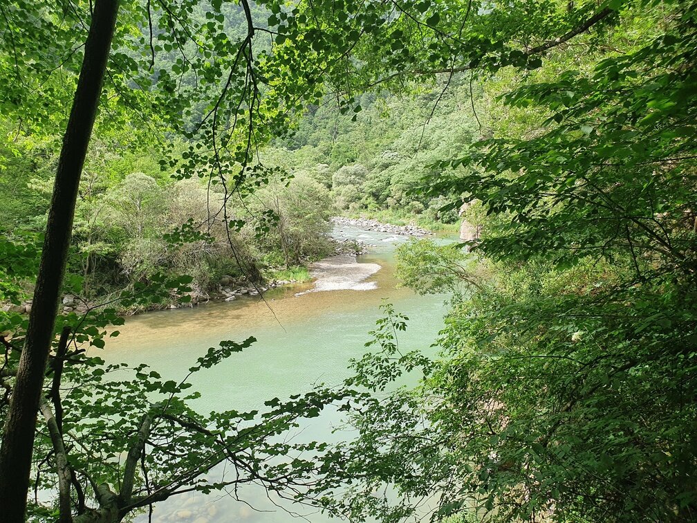
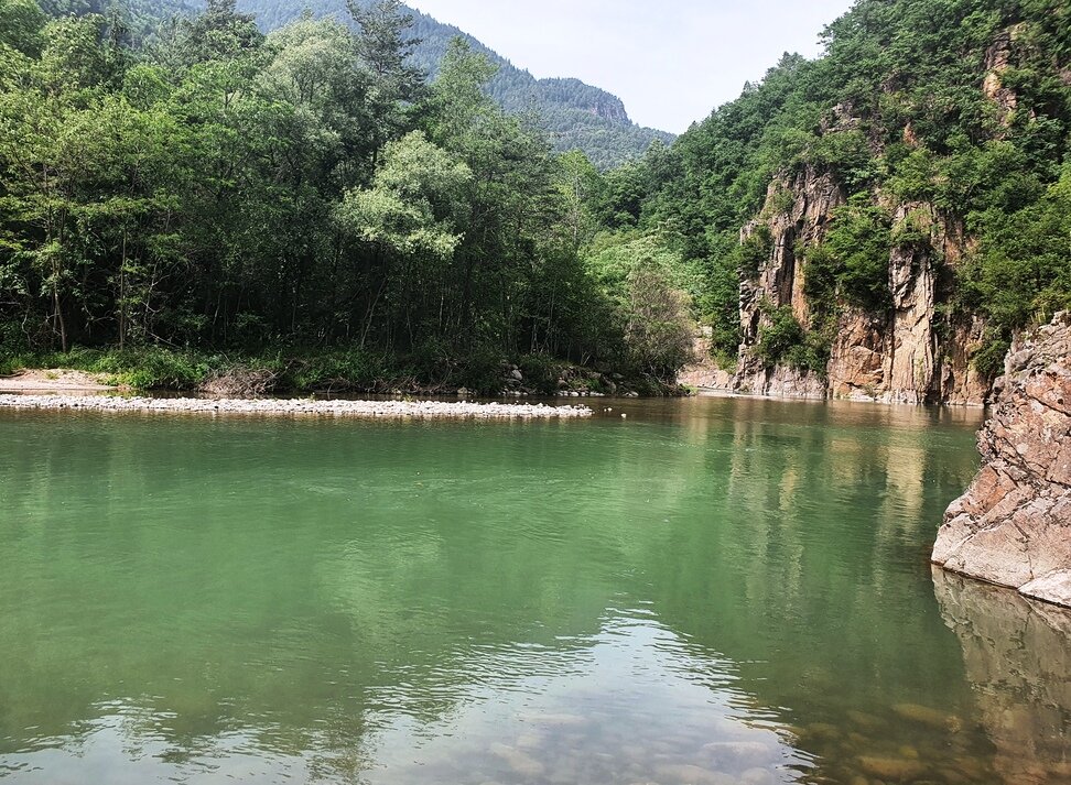
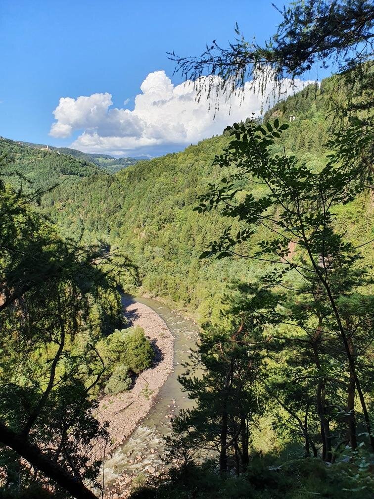
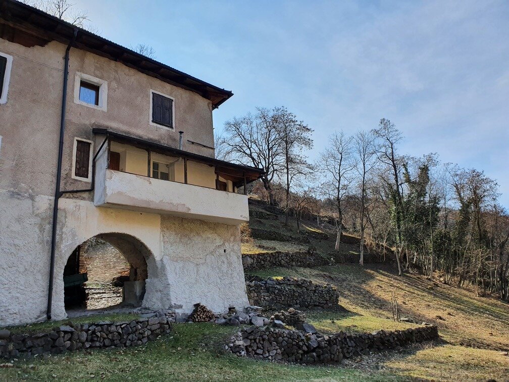
The footpath continues downhill past the Vettori limestones used until the mid-20th century for lime working and continuing through the woods along the Avisio stream which has carved out spectacular sheer rocks through the valley. It then emerges at Castelir, a very large farmhouse built on the banks of the stream. Now in ruins it was once the fulcrum of life, work and community.

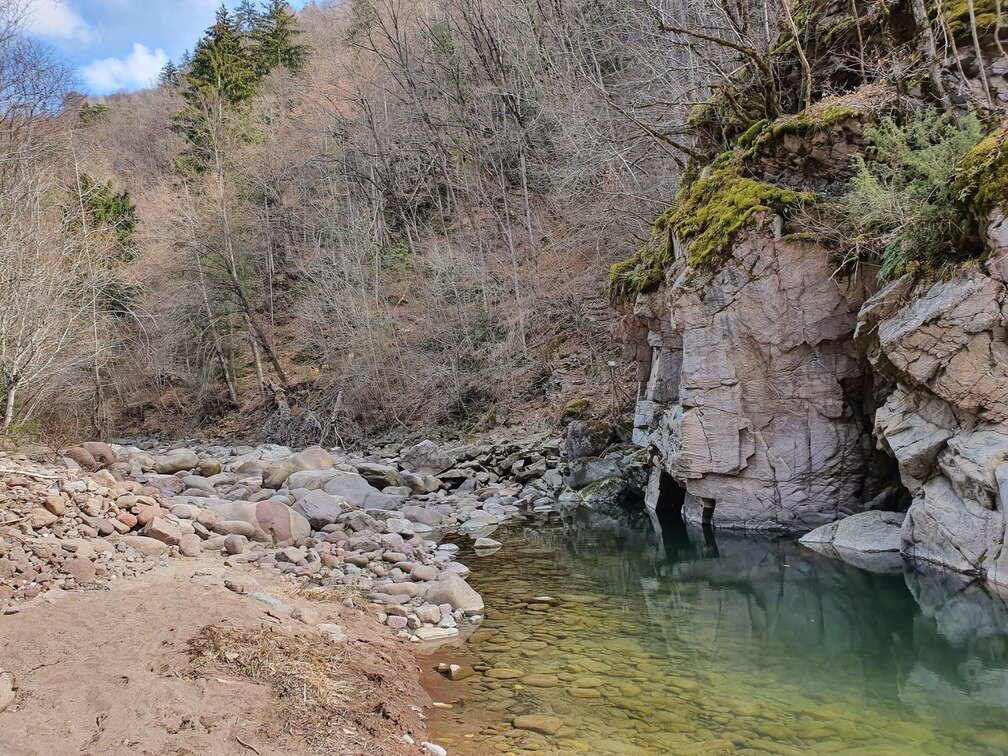
Here our footpath continues on metal walkways attached to the rocks and then the Avisio stream bed before continuing into the forest until the views open up, surprisingly, in a clearing containing Molini di Sover, a clump of houses just a few metres from Pont de la Rio. It then climbs back up to Sover on an attractive road cobbled with pebbles smoothed over by time.
Gallery
Categories
  • Szlaki piesze
Tags
  • Piękne widoki
  • Trasa okrężna
  • Kultura / Historia
Dane trasy
średni
Dystans
8,5 km
Czas przejścia
3 h 30 min
Pod górę
450 m
Przyzwoity
450 m
Stan fizyczny
Scenariusz
Najwyższy punkt
966 m
Najniższy punkt
599 m
Wskazówka autora

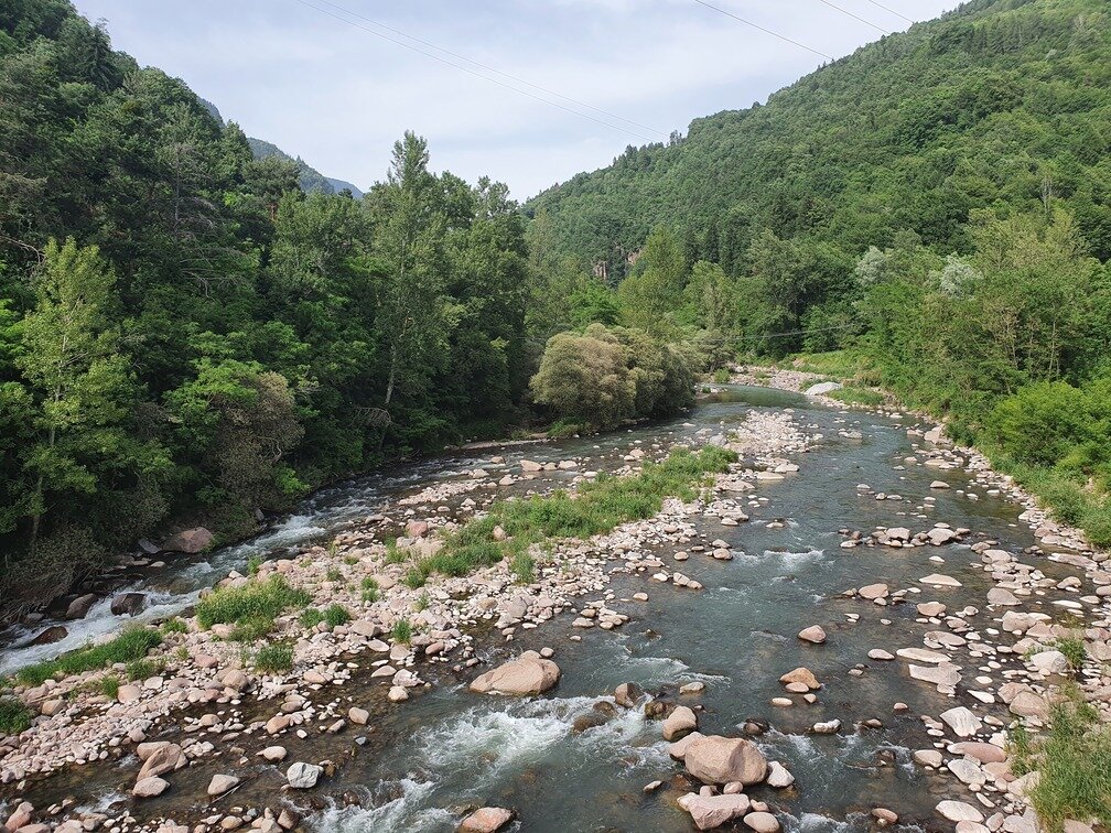
The section of path between Castellir and Molini di Sover passes through the bed of the Avisio stream. In case of heavy rain or flooding, this section might be impassable. If the path is not passable from Castellir, it is possible to take a deviation that climbs directly to Sover through ancient terraces now overgrown by the forest.

You might be interested in
Odkryj powiązane wycieczki
© A. Zorzi, APT Fiemme Cembra
łatwy
Ziano di Fiemme
Le Cascatelle di Ziano di Fiemme
Dystans 2,2 km
Czas przejścia 1 h 00 min
Pod górę 100 m
Przyzwoity 100 m
© N. Delvai, APT Fiemme Cembra
łatwy
Ville di Fiemme
Carano - Passeggiata dei Pini
Dystans 4,0 km
Czas przejścia 1 h 20 min
Pod górę 140 m
Przyzwoity 140 m
© Elisa Travaglia, Rete di Riserve Val di Cembra Avisio
Segonzano, Faver, Grauno, Grumes, Valda
I masetti di Ischia e le gole del selvaggio Avisio
Dystans 3,5 km
Czas przejścia 2 h 30 min
Pod górę 300 m
Przyzwoity 300 m
© Sara Zucal, Rete di Riserve Val di Cembra Avisio
łatwy
Faver, Grauno, Grumes, Valda
Comoda passeggiata da Ponciach alla vecchia cava dei Gravoni
Dystans 3,3 km
Czas przejścia 1 h 30 min
Pod górę 150 m
Przyzwoity 73 m
Status
otwarte
© Sara Zucal, Rete di Riserve Val di Cembra Avisio
Trudny
Sover, Segonzano
Segonzano - Sover, Cammino delle Terre Sospese
Dystans 15,3 km
Czas przejścia 5 h 25 min
Pod górę 724 m
Przyzwoity 631 m
© Sara Zucal, Rete di Riserve Val di Cembra Avisio
średni
Segonzano
I casali alti di Segonzano
Dystans 13,4 km
Czas przejścia 5 h 30 min
Pod górę 700 m
Przyzwoity 700 m