To the navigation Skip to main content To the footer
Top

Le torbiere d'alta quota del Monte Corno

Capriana, Castello-Molina di Fiemme
Trudność
Trudne
Czas przejścia
5:00
w godzinach
Dystans
14.9
in km
Status
otwarte
Categories
  • Wędrówka górska
Tags
  • Trasa okrężna
  • Atrakcje botaniczne
Sugerowany okres
St.
It.
Mrz.
Kw.
Maj
Czerw.
Lip.
Sierp.
Wrz.
Paźd.
List.
Grudz.

A high altitude trip to Malga Monte Corno and the Lake Nero and Lake Bianco peat bogs

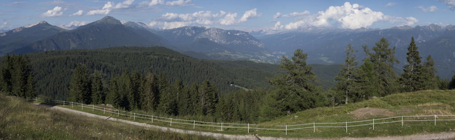
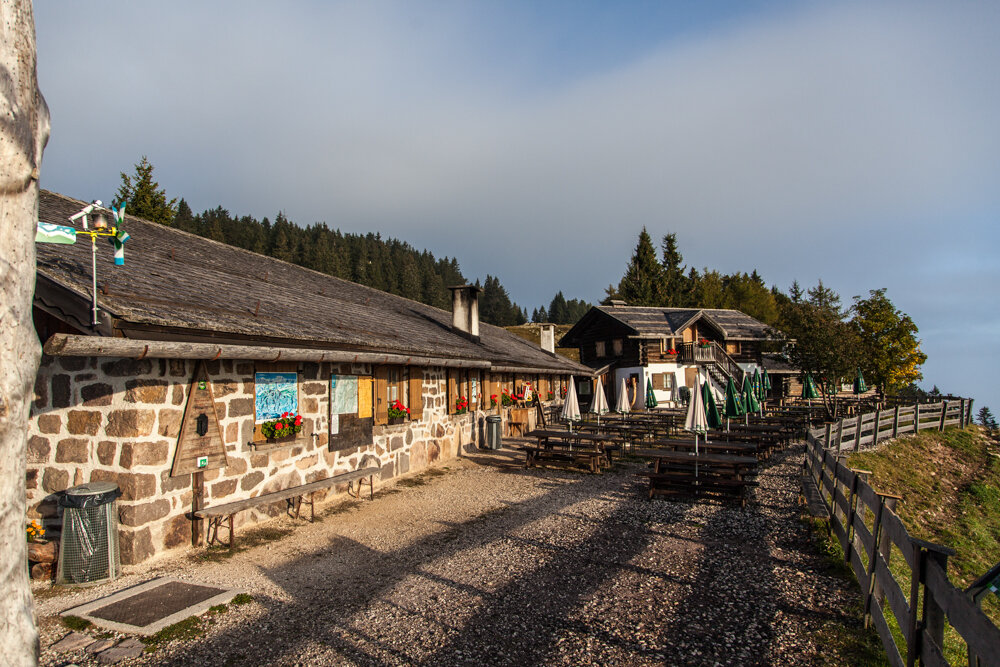
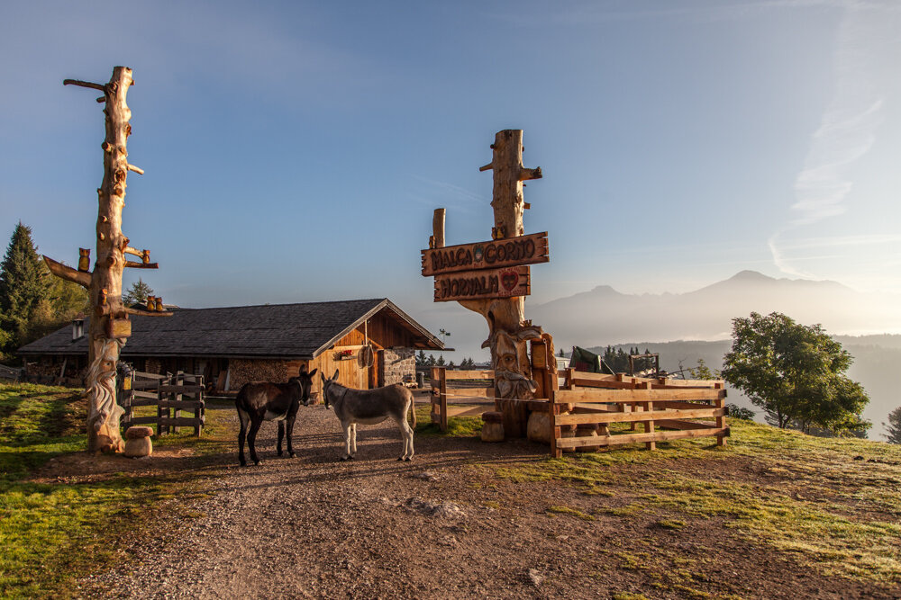
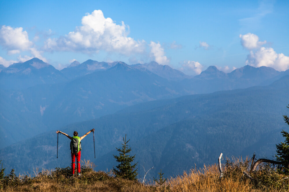
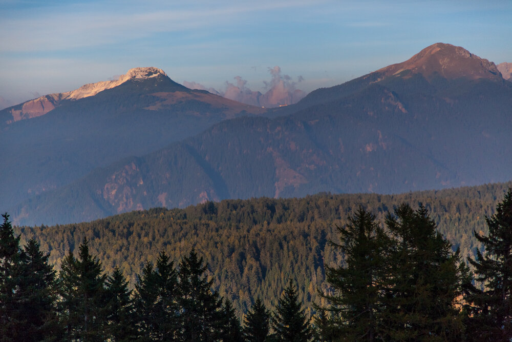
This itinerary climbs up from Prà del Manz, one of the Trentino region's most attractive larch meadows, following waymarking for Malga Corno and La Peschiera and footpath SAT 482 which takes you to Rifugio Malga Monte Corno. This mountain dairy is at an altitude of 1715 metres and offers wide open views over the mountains of the Fiemme valley from Corno Bianco and Corno Nero to Pale di San Martino and the Lagorai massif. Sitting comfortably on its large terrace you can try South Tyrolean delicacies and delicious cakes. In the summer months you can also stay at the hut.

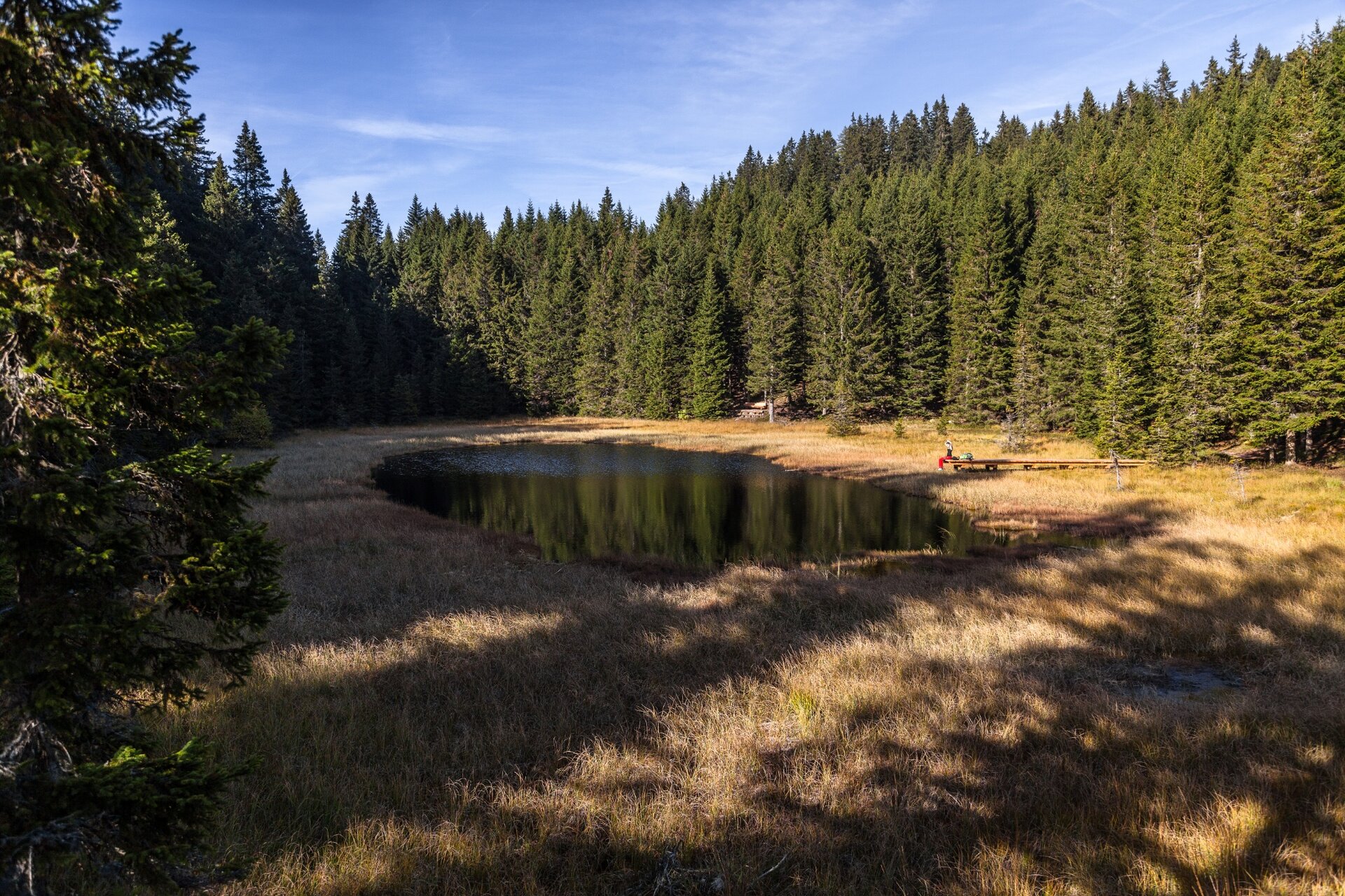
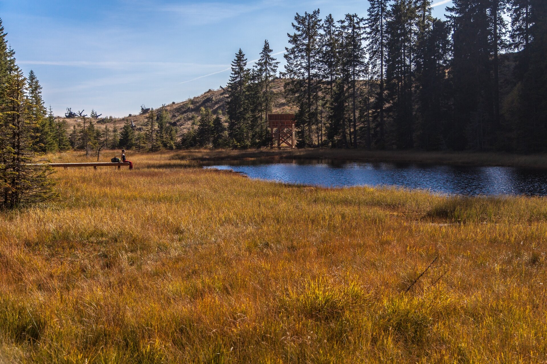
Our route continues on a footpath starting near the dairy (footpath number 3) for lakes Nero and Bianco, two precious peat bogs protected by the Val di Cembra Avisio nature reserve network and the Monte Corno Park. These peat bogs are ancient glacial lakes in which thick layers of peat have built up as a result of the action of aquatic plants over the millennia. Most of the lakes’ surface is thus covered with marsh vegetation and the lake is very small. The setting of these peat bogs is an extremely important environmental and forest one containing biotopes of vital importance to the reproduction of many amphibian and reptile species. This itinerary is a circuit which takes you back to the valley from Lake Bianco on footpaths 3B and 483. Follow waymarking to Monte Gua and Prà del Manz to your starting point again.
Gallery
Dalsze informacje i przydatne linki

Rete di Riserve Alta Val di Cembra-Avisio

www.reteriservevaldicembra.tn.it

Visit Trentino

www.visittrentino.info

Meteotrentino

www.meteotrentino.it

Categories
  • Wędrówka górska
Tags
  • Trasa okrężna
  • Atrakcje botaniczne
Dane trasy
Trudne
Dystans
14,9 km
Czas przejścia
5 h 00 min
Pod górę
600 m
Przyzwoity
600 m
Stan fizyczny
Scenariusz
Najwyższy punkt
1.744 m
Najniższy punkt
1.186 m
Wskazówka autora

Have a break at mountain hut Rifugio Malga Monte Corno to enjoy a wonderful view over the beautiful Valle di Fiemme.

You might be interested in
Odkryj powiązane wycieczki
© Stefano Campo, Rete di Riserve Val di Cembra Avisio
średni
Faver, Grauno, Grumes, Valda
Il Sentiero dei vecchi mestieri – da Grumes
Dystans 5,3 km
Czas przejścia 3 h 00 min
Pod górę 400 m
Przyzwoity 400 m
Status
otwarte
© N. Delvai, APT Fiemme Cembra
Trudny
Predazzo, Tesero
Giro di Valsorda
Dystans 14,7 km
Czas przejścia 6 h 00 min
Pod górę 520 m
Przyzwoity 1.650 m
© Staff Outdoor Val di Fiemme, Trentino Marketing
średni
Predazzo
La meravigliosa Val Venegia
Dystans 12,3 km
Czas przejścia 4 h 30 min
Pod górę 500 m
Przyzwoity 500 m
Status
zamknięte
© Elisa Travaglia, Rete di Riserve Val di Cembra Avisio
łatwy
Segonzano
Il Castello di Segonzano e il canyon del Prà
Dystans 6,1 km
Czas przejścia 3 h 30 min
Pod górę 190 m
Przyzwoity 186 m
© A. Campanile, APT Fiemme Cembra
średni
Castello-Molina di Fiemme
Lago delle Buse
Dystans 11,5 km
Czas przejścia 5 h 00 min
Pod górę 650 m
Przyzwoity 650 m
© Sara Zucal, Rete di Riserve Val di Cembra Avisio
średni
Faver, Grauno, Grumes, Valda
Percorso tematico “Dal bosco a casa”
Dystans 6,4 km
Czas przejścia 3 h 00 min
Pod górę 400 m
Przyzwoity 400 m