To the navigation Skip to main content To the footer
Top

Sui Pascoli di Malga Vernera

Sover
Trudność
łatwy
Czas przejścia
1:10
w godzinach
Dystans
3.6
in km
Categories
  • Szlaki piesze
Tags
  • Piękne widoki
  • Atrakcje faunistyczne
  • Trasa okrężna
  • Odpowiednie dla rodzin z dziećmi
  • Atrakcje botaniczne
Sugerowany okres
St.
It.
Mrz.
Kw.
Maj
Czerw.
Lip.
Sierp.
Wrz.
Paźd.
List.
Grudz.
A walk among grazing cows
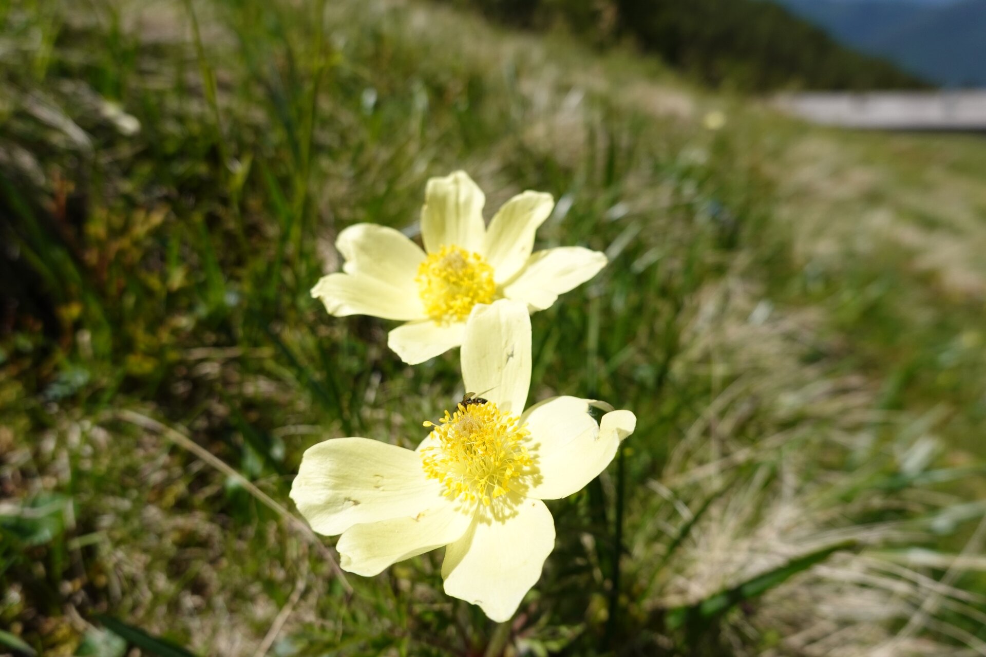
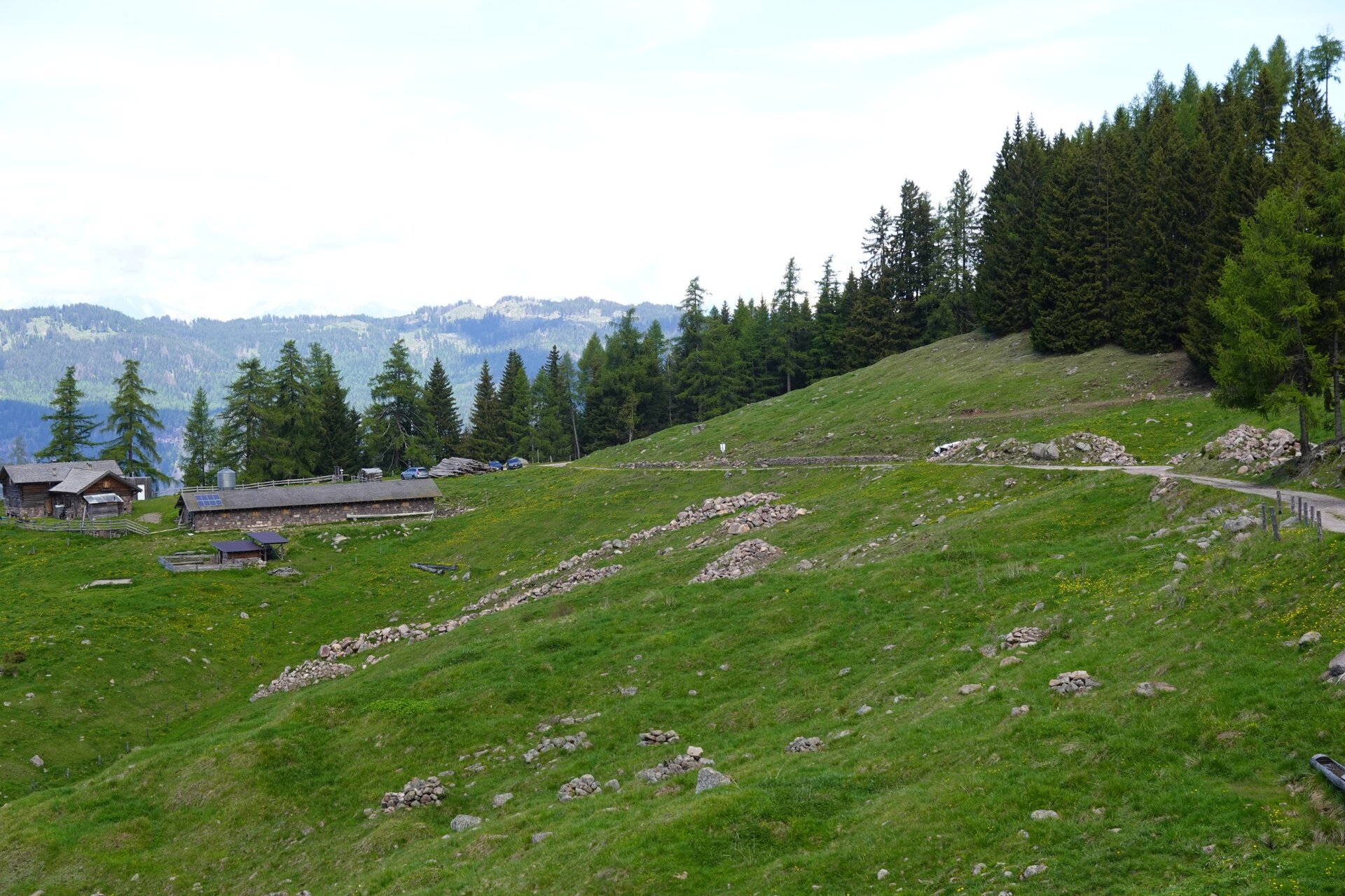
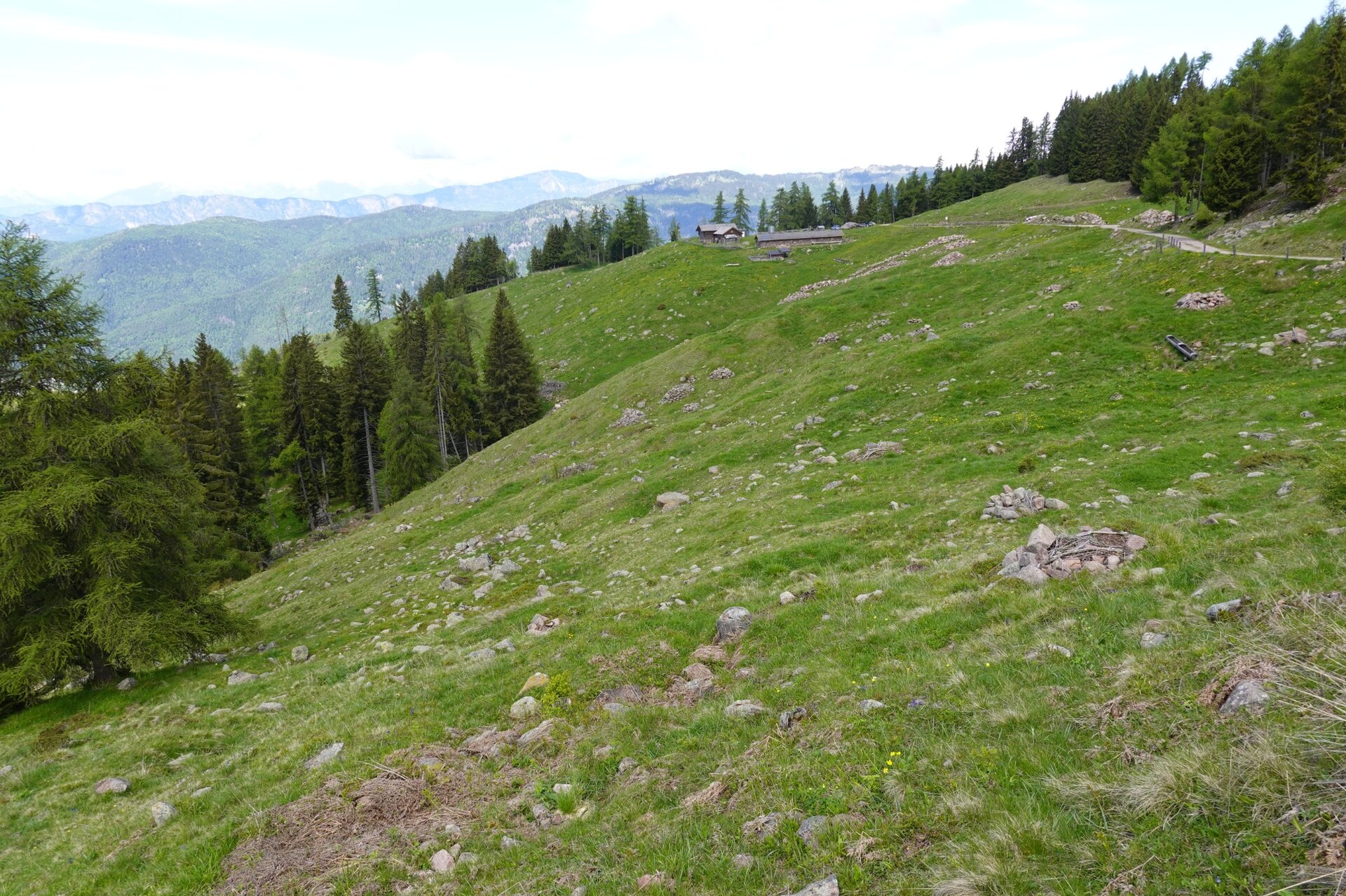
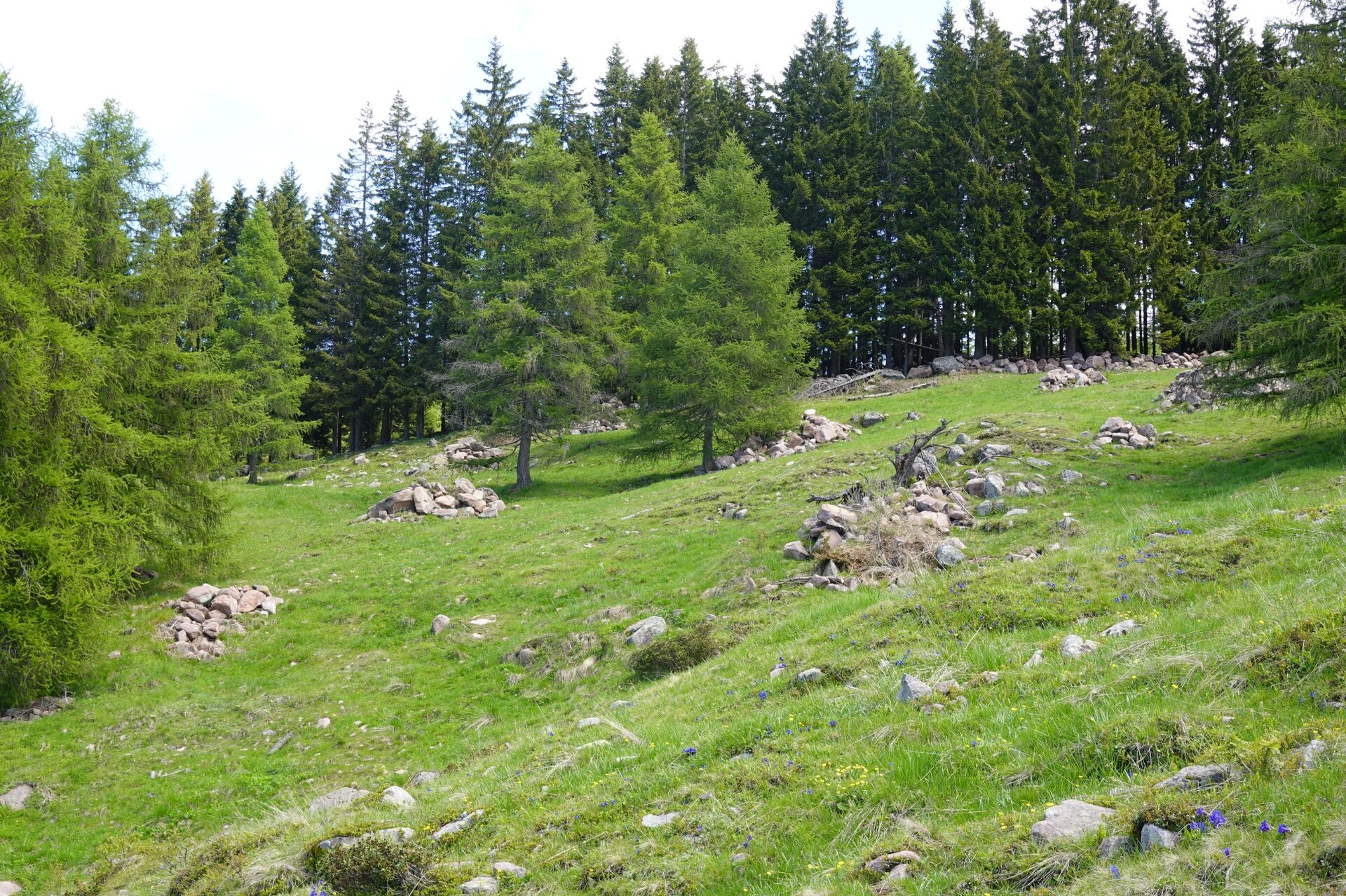
In the past, the Vernera pasture was divided between two mountain huts: Malga Vernera Alta and Malga Vernera Bassa. The first is no longer operational and its stable has collapsed, while Malga Vernera Bassa is still regularly "stocked" with livestock during the summer season and also offers dining services. The route starts right from Malga Vernera Bassa, near which the SAT E469A trail begins; following the edge of the pasture, it passes by Malga Vernera Alta then continues until it reaches the forest road “Bosco dalle Piane,” along which you arrive at the Alpine Chapel and shortly after return to the starting point. The route allows you to admire the alpine pastures of one of the very few mountain huts in Val di Cembra still in operation, as well as the spruce forests that surround them. In the latter, the Vaia storm first and then the bark beetle, a small but formidable spruce parasite, have opened vast areas. A curiosity: the large stone piles shaped like ridges located downhill from Malga Vernera Bassa were created a few years ago as part of a stoneless meadow intervention.
Gallery
Categories
  • Szlaki piesze
Tags
  • Piękne widoki
  • Atrakcje faunistyczne
  • Trasa okrężna
  • Odpowiednie dla rodzin z dziećmi
  • Atrakcje botaniczne
Dane trasy
łatwy
Dystans
3,6 km
Czas przejścia
1 h 10 min
Pod górę
185 m
Przyzwoity
185 m
Stan fizyczny
Scenariusz
Najwyższy punkt
1.863 m
Najniższy punkt
1.678 m
You might be interested in
Odkryj powiązane wycieczki
© Alessandro Cristofoletti, Rete di Riserve Val di Cembra Avisio
Faver, Grauno, Grumes, Valda, Cembra, Lisignago, Giovo
Il Lago Santo e la torbiera del Lagabrun
Dystans 11,7 km
Czas przejścia 2 h 30 min
Pod górę 379 m
Przyzwoity 381 m
© D. Gardener, APT Fiemme Cembra
łatwy
Predazzo
Laghi di Colbricon
Dystans 4,4 km
Czas przejścia 1 h 15 min
Pod górę 100 m
Przyzwoity 100 m
© Staff Outdoor Val di Fiemme, APT Fiemme Cembra
łatwy
Predazzo
Passeggiata nel bosco di Bellamonte
Dystans 3,3 km
Czas przejścia 1 h 00 min
Pod górę 95 m
Przyzwoity 90 m
© Sara Zucal, Rete di Riserve Val di Cembra Avisio
Faver, Grauno, Grumes, Valda, Capriana, Cembra, Lisignago
Sentiero Botanico Naturalistico sul Dossone di Cembra
Dystans 25,8 km
Czas przejścia 9 h 00 min
Pod górę 1.095 m
Przyzwoity 1.138 m
© A. Campanile , APT Fiemme Cembra
łatwy
Valfloriana
Inatteso panorama vicino a Malga Sass
Dystans 5,2 km
Czas przejścia 2 h 00 min
Pod górę 300 m
Przyzwoity 300 m
łatwy
Tesero, Predazzo
Geotrail Dos Capèl – Dolomiti, che scoperta!
Dystans 5,4 km
Czas przejścia 2 h 00 min
Pod górę 262 m
Przyzwoity 262 m