To the navigation Skip to main content To the footer
Top

I Larici di Prà del Manz

Capriana
Trudność
łatwy
Czas przejścia
1:10
w godzinach
Dystans
4
in km
Categories
  • Szlaki piesze
Tags
  • Atrakcje faunistyczne
  • Trasa okrężna
  • Odpowiednie dla rodzin z dziećmi
  • Atrakcje botaniczne
Sugerowany okres
St.
It.
Mrz.
Kw.
Maj
Czerw.
Lip.
Sierp.
Wrz.
Paźd.
List.
Grudz.
Discovering the green giants of Capriana
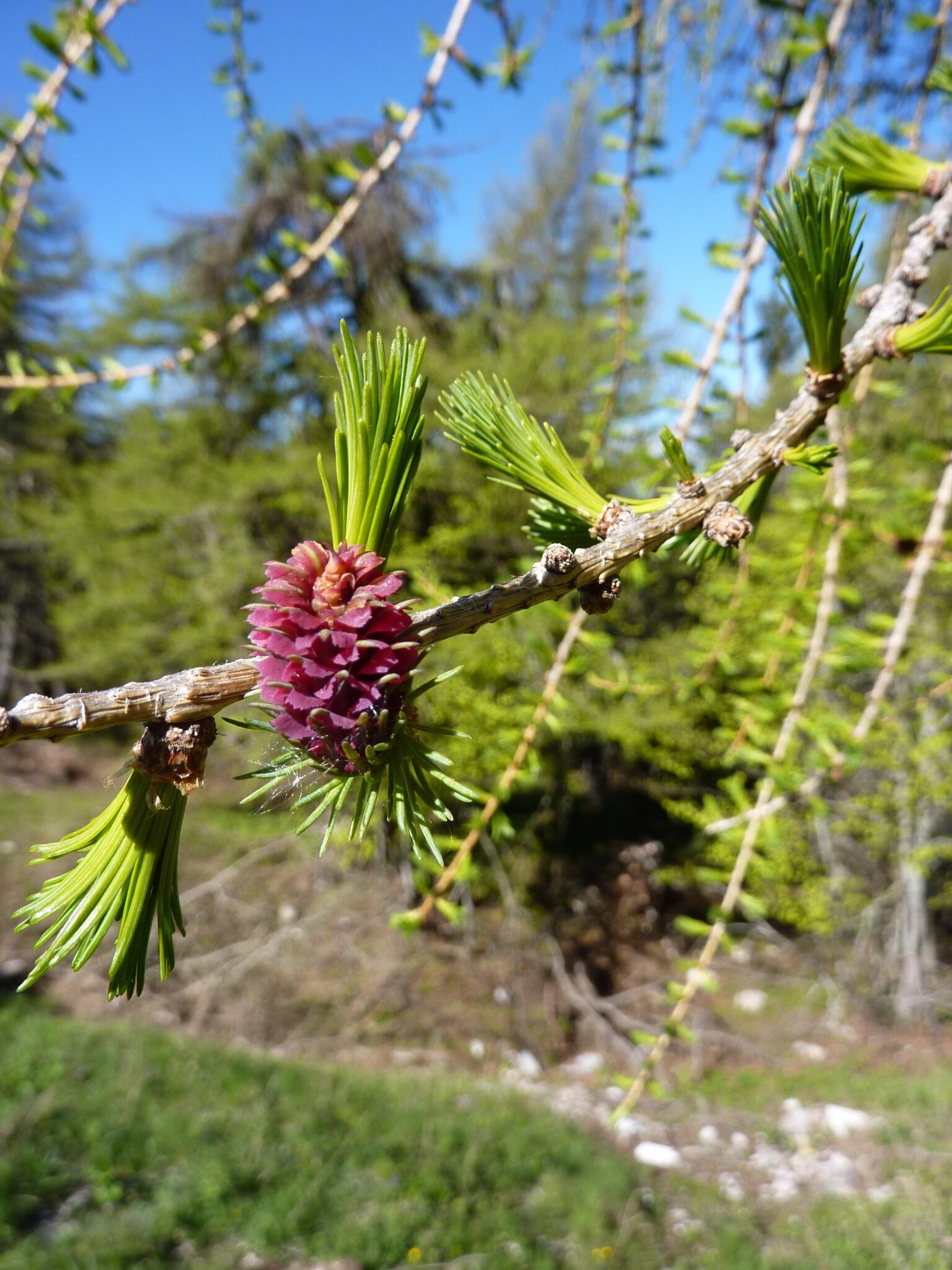
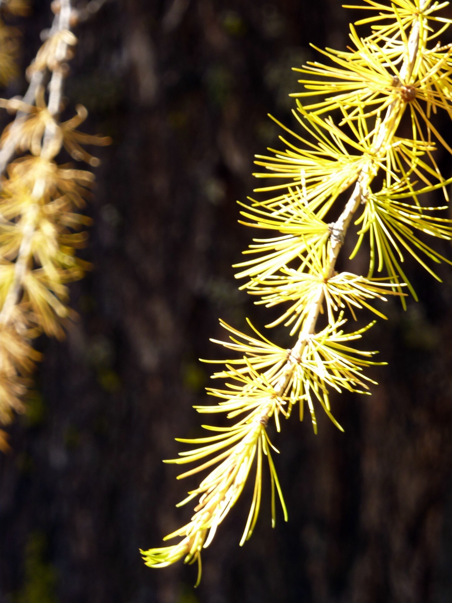
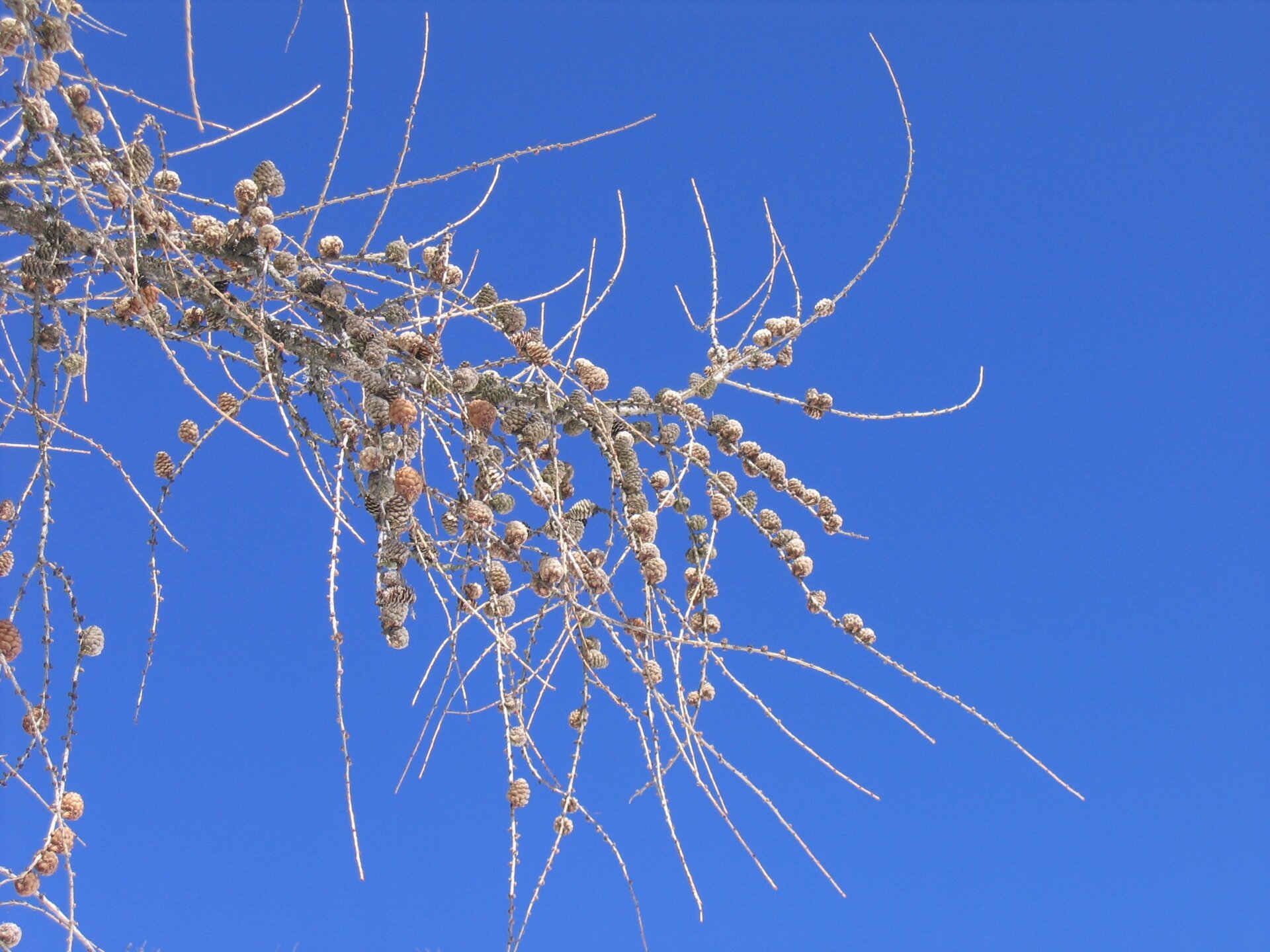
From the locality Prà del Manz, take the forest road “Pradi-Zisa” which climbs the side of the small Monte Gua up to Pradi, where the magnificent larch forest of Capriana is located. The forest can be explored by following the SAT trail E482A, which coincides with the forest road “Pradi Val Pausa”. Along the beautiful path, there are several panels illustrating with texts and pictures the peculiarities of this particular and characteristic forest formation. Continuing along the route, the larches give way to spruces, Scots pines, and a few silver firs. The path then crosses Val Pausa and continues until it connects with the forest road “Comuni”, which is followed by the SAT trail E482 and gently ascends back towards Val Pausa before joining the forest road “Pradi-Zisa” that descends back to Pradi, thus creating a circular route. A final note regards the presence of a rest area with tables and benches at Prà del Manz, as well as a small but very well-equipped playground which will be much appreciated by the little ones.
Gallery
Categories
  • Szlaki piesze
Tags
  • Atrakcje faunistyczne
  • Trasa okrężna
  • Odpowiednie dla rodzin z dziećmi
  • Atrakcje botaniczne
Dane trasy
łatwy
Dystans
4,0 km
Czas przejścia
1 h 10 min
Pod górę
141 m
Przyzwoity
136 m
Stan fizyczny
Scenariusz
Najwyższy punkt
1.324 m
Najniższy punkt
1.183 m
You might be interested in
Odkryj powiązane wycieczki
© Elisa Travaglia, Rete di Riserve Val di Cembra Avisio
średni
Lona-Lases
Il Lago di Lases e le buse del giaz
Dystans 4,9 km
Czas przejścia 2 h 00 min
Pod górę 150 m
Przyzwoity 150 m
Status
otwarte
© Alessandro Cristofoletti, Rete di Riserve Val di Cembra Avisio
Faver, Grauno, Grumes, Valda, Cembra, Lisignago
Il Lago Santo e il Rifugio alpino Potzmauer
Dystans 18,0 km
Czas przejścia 6 h 00 min
Pod górę 650 m
Przyzwoity 650 m
© Sara Zucal, Rete di Riserve Val di Cembra Avisio
Faver, Grauno, Grumes, Valda, Capriana, Cembra, Lisignago
Sentiero Botanico Naturalistico sul Dossone di Cembra
Dystans 25,8 km
Czas przejścia 9 h 00 min
Pod górę 1.095 m
Przyzwoity 1.138 m
© N. Delvai, APT Fiemme Cembra
łatwy
Cavalese
Montagna Senza Limiti - Passeggiata insolita lungo il Rio Gambis
Dystans 3,0 km
Czas przejścia 1 h 00 min
Pod górę 42 m
Przyzwoity 42 m
łatwy
Cavalese
Alla scoperta di una delle meraviglie di Fiemme
Dystans 7,9 km
Czas przejścia 2 h 45 min
Pod górę 203 m
Przyzwoity 204 m
© Sara Zucal, Rete di Riserve Val di Cembra Avisio
Trudny
Sover, Segonzano
Segonzano - Sover, Cammino delle Terre Sospese
Dystans 15,3 km
Czas przejścia 5 h 25 min
Pod górę 724 m
Przyzwoity 631 m