To the navigation Skip to main content To the footer
Top

The Larches of Prà del Manz

Capriana
Difficulty
Easy
Duration
1:10
in hours
Distance
4
in km
Categories
  • Hiking trail
Tags
  • Fauna
  • Round trip
  • Family-friendly
  • Flora
Suggested period
Jan
Feb
Mar
Apr
May
Jun
Jul
Aug
Sep
Oct
Nov
Dec
Discovering the green giants of Capriana
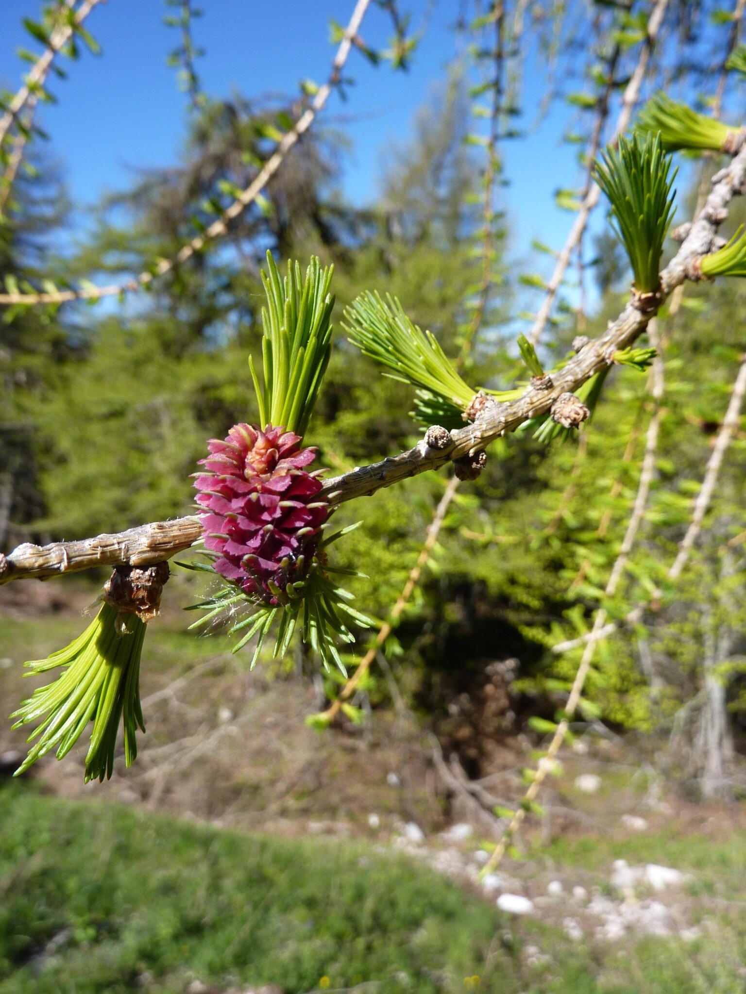
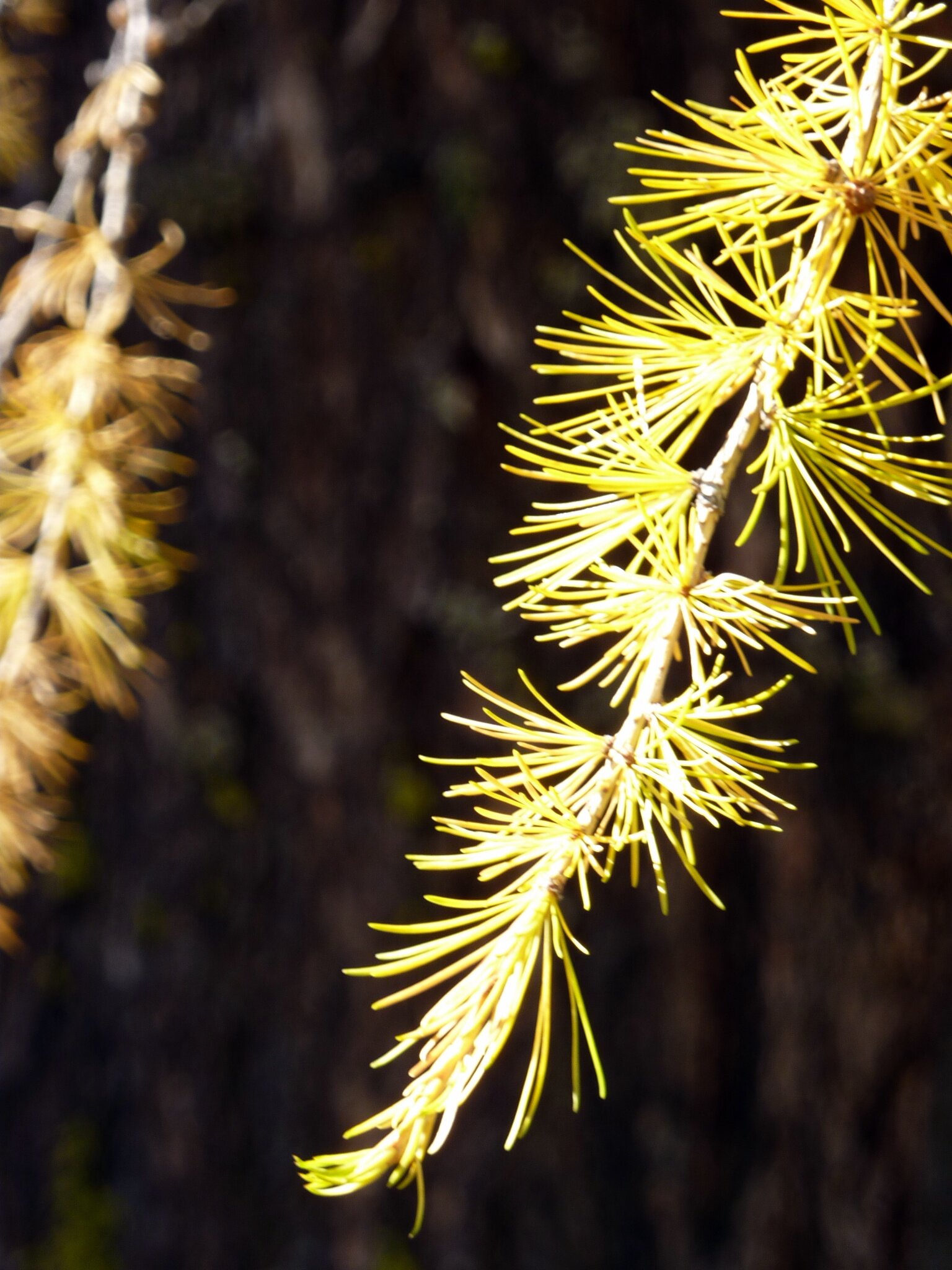
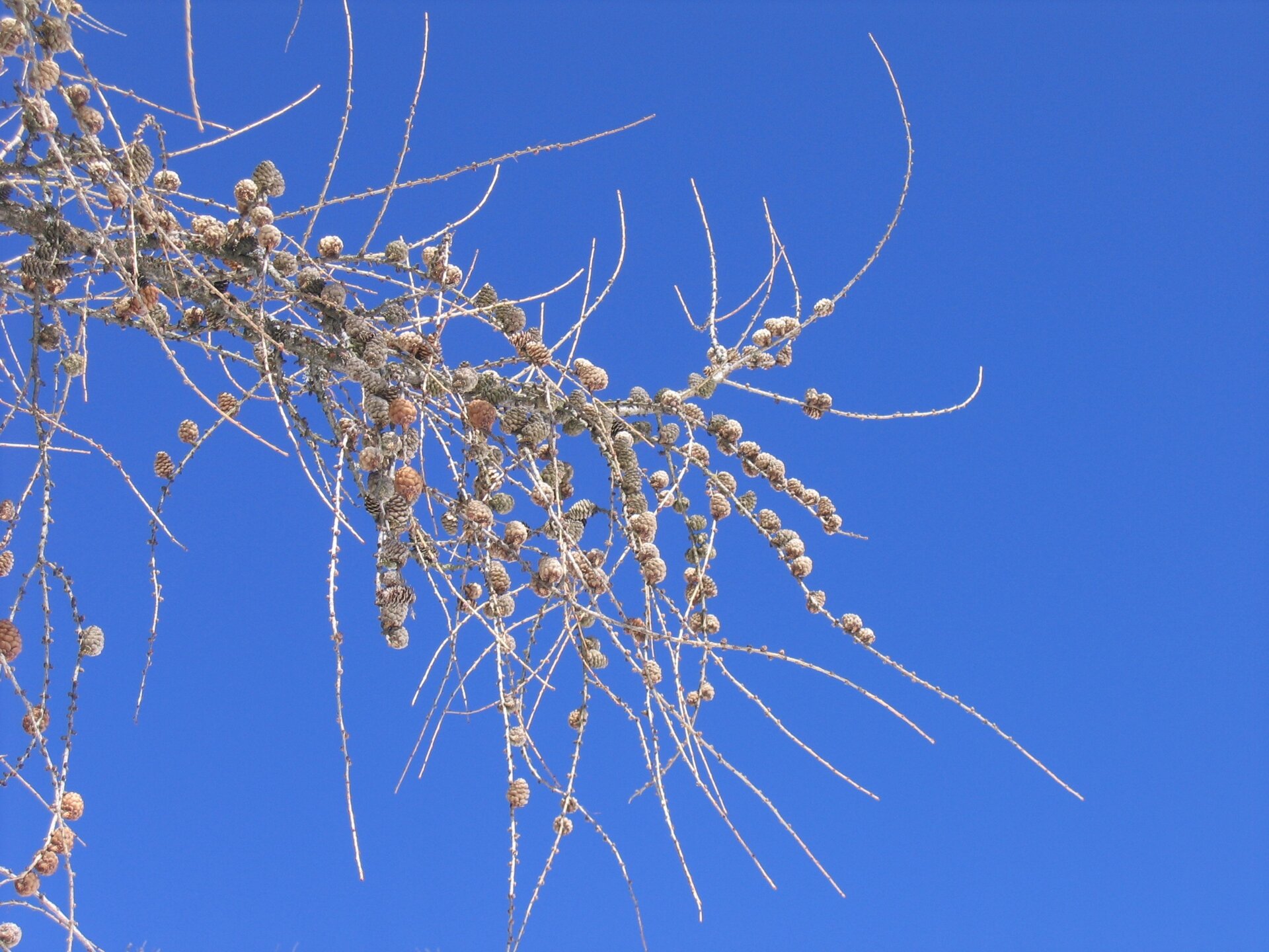
From the locality Prà del Manz, take the forest road “Pradi-Zisa” which climbs the side of the small Monte Gua up to Pradi, where the magnificent larch forest of Capriana is located. The forest can be explored by following the SAT trail E482A, which coincides with the forest road “Pradi Val Pausa”. Along the beautiful path, there are several panels illustrating with texts and pictures the peculiarities of this particular and characteristic forest formation. Continuing along the route, the larches give way to spruces, Scots pines, and a few silver firs. The path then crosses Val Pausa and continues until it connects with the forest road “Comuni”, which is followed by the SAT trail E482 and gently ascends back towards Val Pausa before joining the forest road “Pradi-Zisa” that descends back to Pradi, thus creating a circular route. A final note regards the presence of a rest area with tables and benches at Prà del Manz, as well as a small but very well-equipped playground which will be much appreciated by the little ones.
Gallery
Categories
  • Hiking trail
Tags
  • Fauna
  • Round trip
  • Family-friendly
  • Flora
Route data
Easy
Distance
4,0 km
Duration
1 h 10 min
Ascent
141 m
Decent
136 m
Physical condition
Scenary
Highest point
1.324 m
Lowest point
1.183 m
You might be interested in
Discover related tours
Dorà and Capriana in the background | © N. Delvai, APT Fiemme Cembra
Easy
Valfloriana
Easy walk in Dorà
Distance 1,8 km
Duration 30 min
Ascent 62 m
Decent 62 m
Colbricon Lake and Hut | © D. Gardener, APT Fiemme Cembra
Easy
Predazzo
Colbricon Lakes
Distance 4,4 km
Duration 1 h 15 min
Ascent 100 m
Decent 100 m
© Sara Zucal, Rete di Riserve Val di Cembra Avisio
Easy
Cembra, Lisignago
Lago Santo
Distance 1,1 km
Duration 20 min
Ascent 10 m
Decent 10 m
The peat bog of Lake Valda | © Sara Zucal, Rete di Riserve Val di Cembra Avisio
Intermediate
Faver, Grauno, Grumes, Valda
Lake Valda, high altitude peat bog
Distance 11,4 km
Duration 4 h 30 min
Ascent 650 m
Decent 650 m
© Rete di Riserve Val di Cembra Avisio
Intermediate
Sover
Pasture at the foot of Mt. Lagorai
Distance 11,0 km
Duration 4 h 30 min
Ascent 700 m
Decent 700 m
© Sara Zucal, Rete di Riserve Val di Cembra Avisio
Intermediate
Giovo
At Roccolo del Sauch, passing through Malga Monte Alto
Distance 8,3 km
Duration 2 h 40 min
Ascent 323 m
Decent 321 m