To the navigation Skip to main content To the footer
Top

Lago di Bocche

Predazzo
Trudność
łatwy
Czas przejścia
4:00
w godzinach
Dystans
13.7
in km
Categories
  • Wędrówka górska
Tags
  • Piękne widoki
  • Sekretna wskazówka
  • Szlak długodystansowy
  • Bufet
  • Kolej górska
Sugerowany okres
St.
It.
Mrz.
Kw.
Maj
Czerw.
Lip.
Sierp.
Wrz.
Paźd.
List.
Grudz.

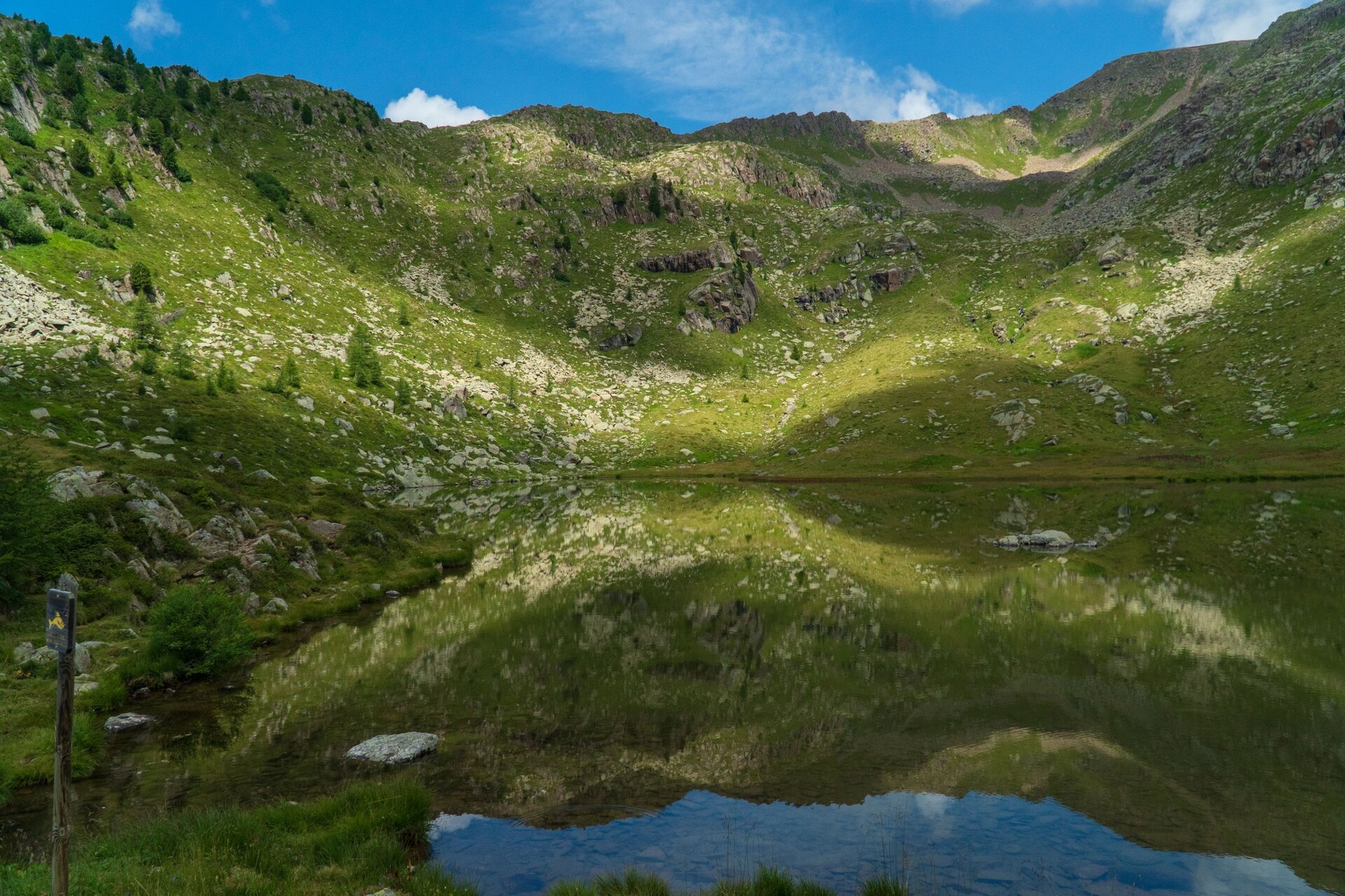
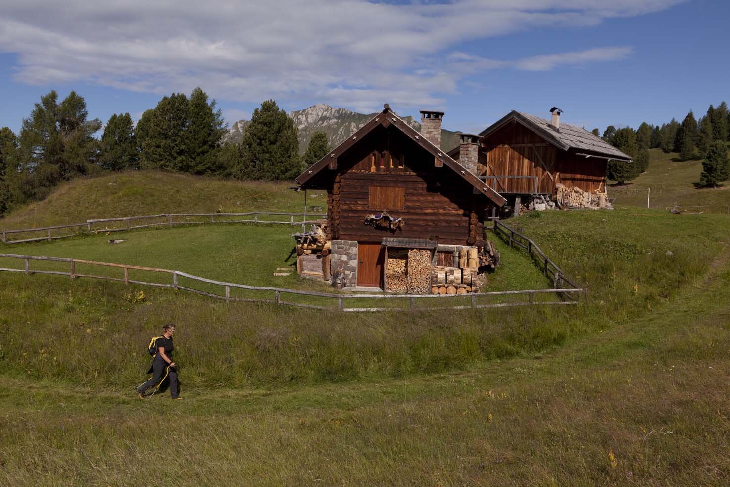
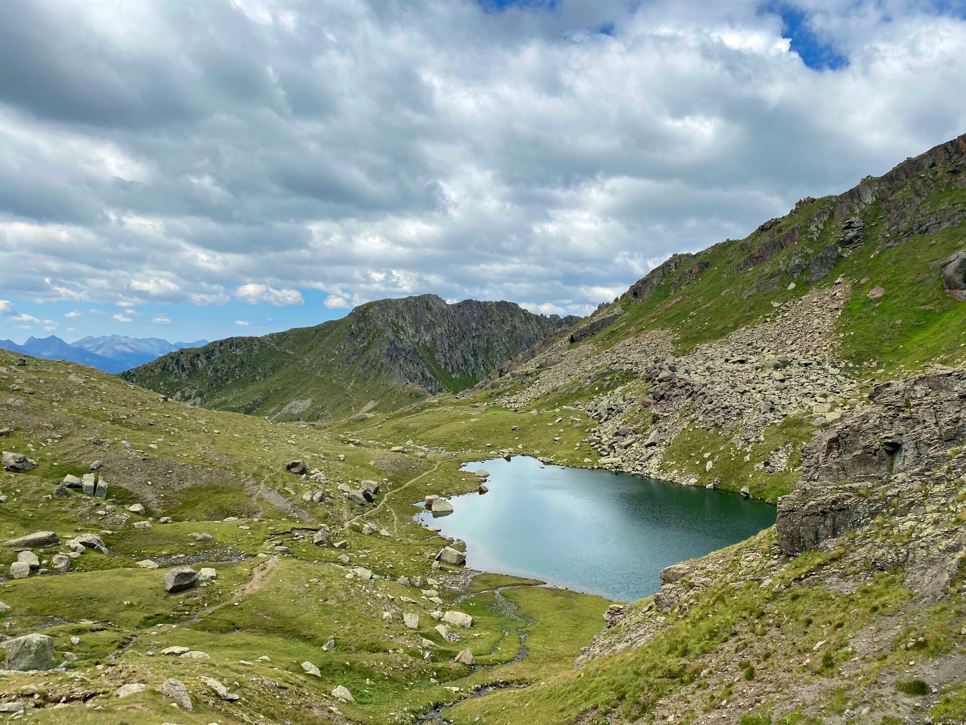
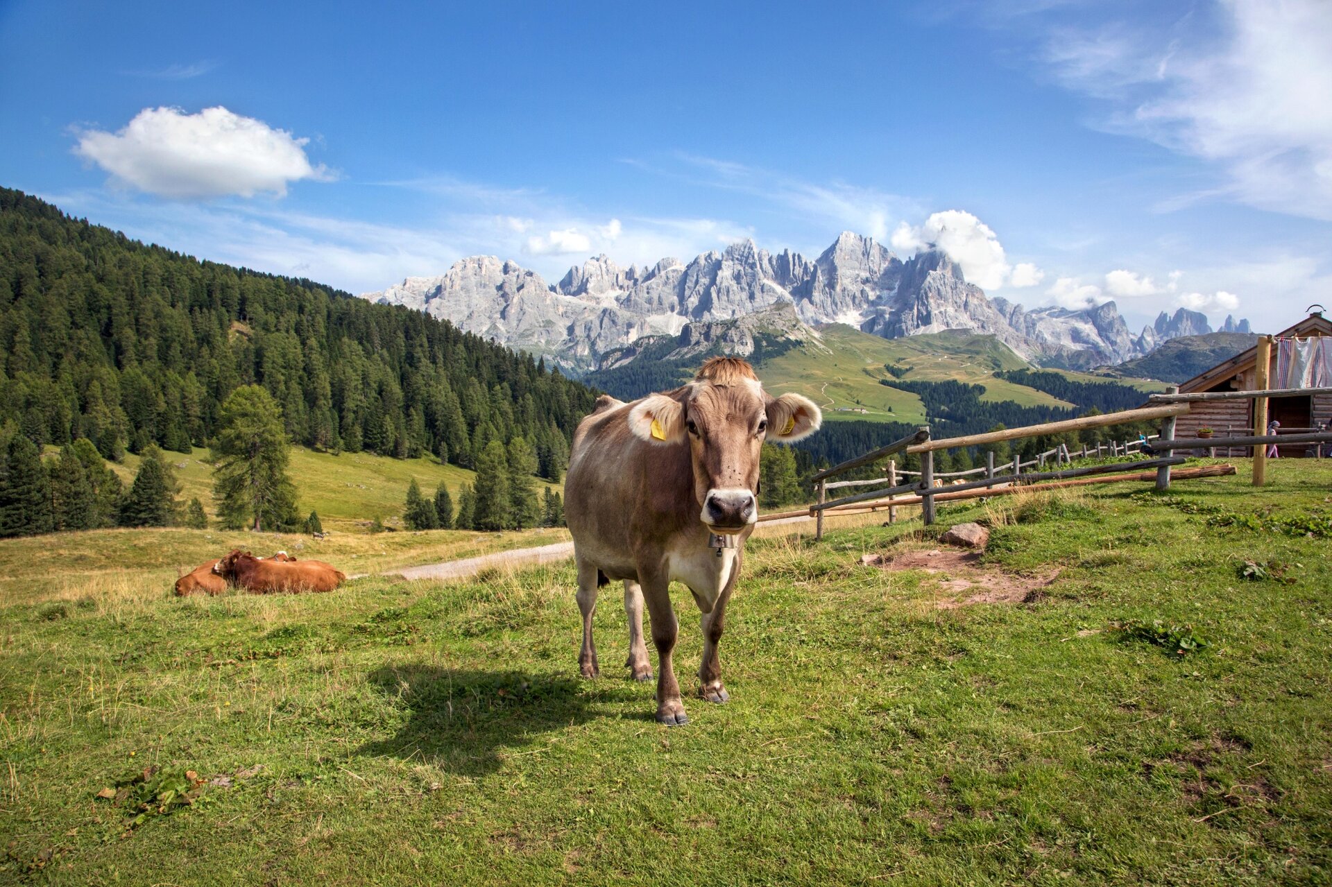
A simple but fascinating itinerary. A route between pastures and typical wooden huts with an alpine lake as the final destination.

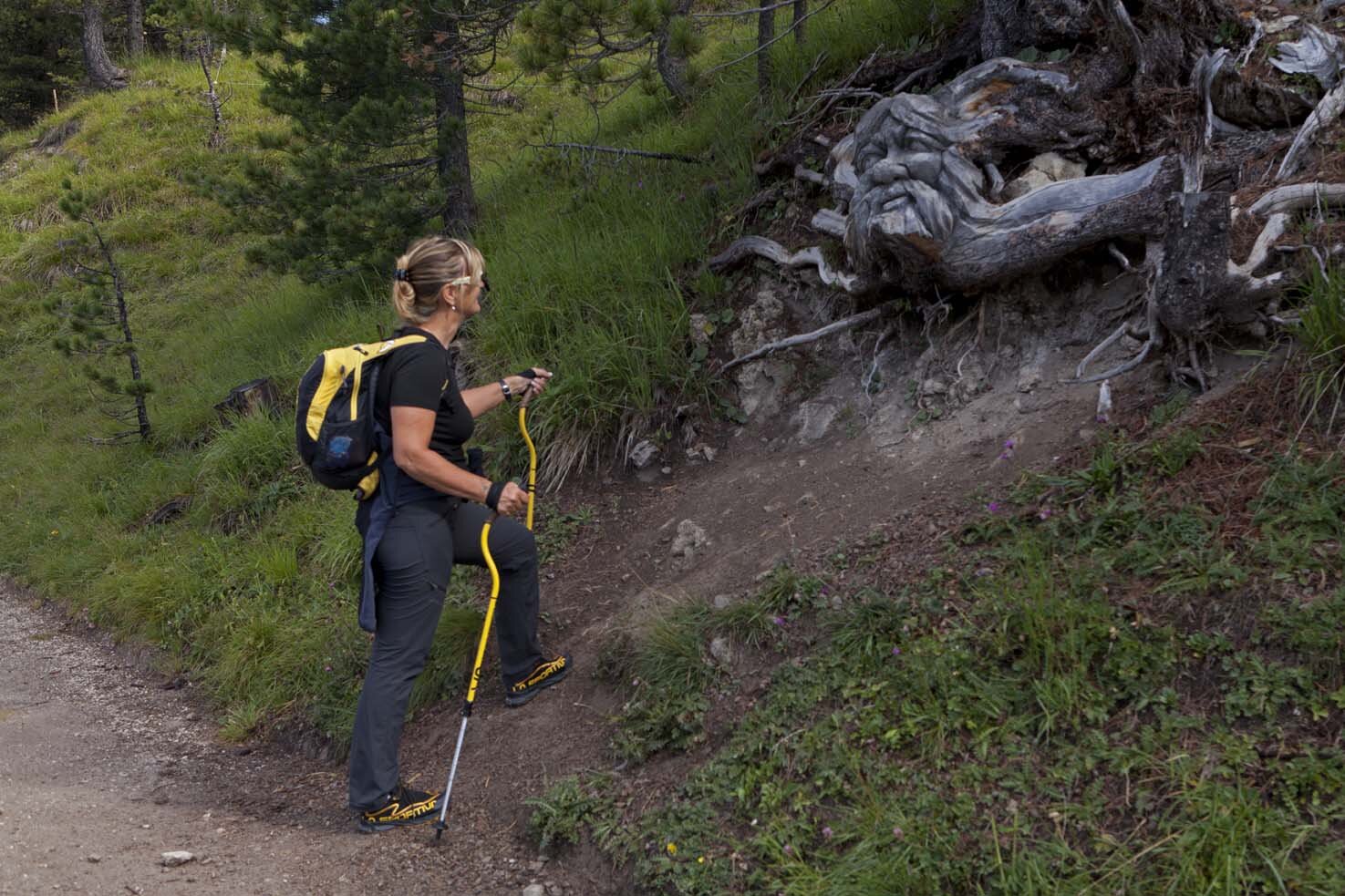
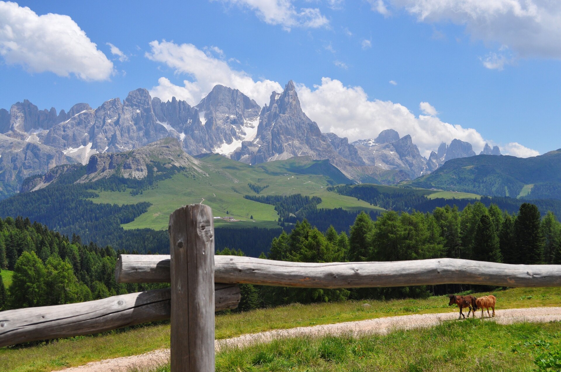
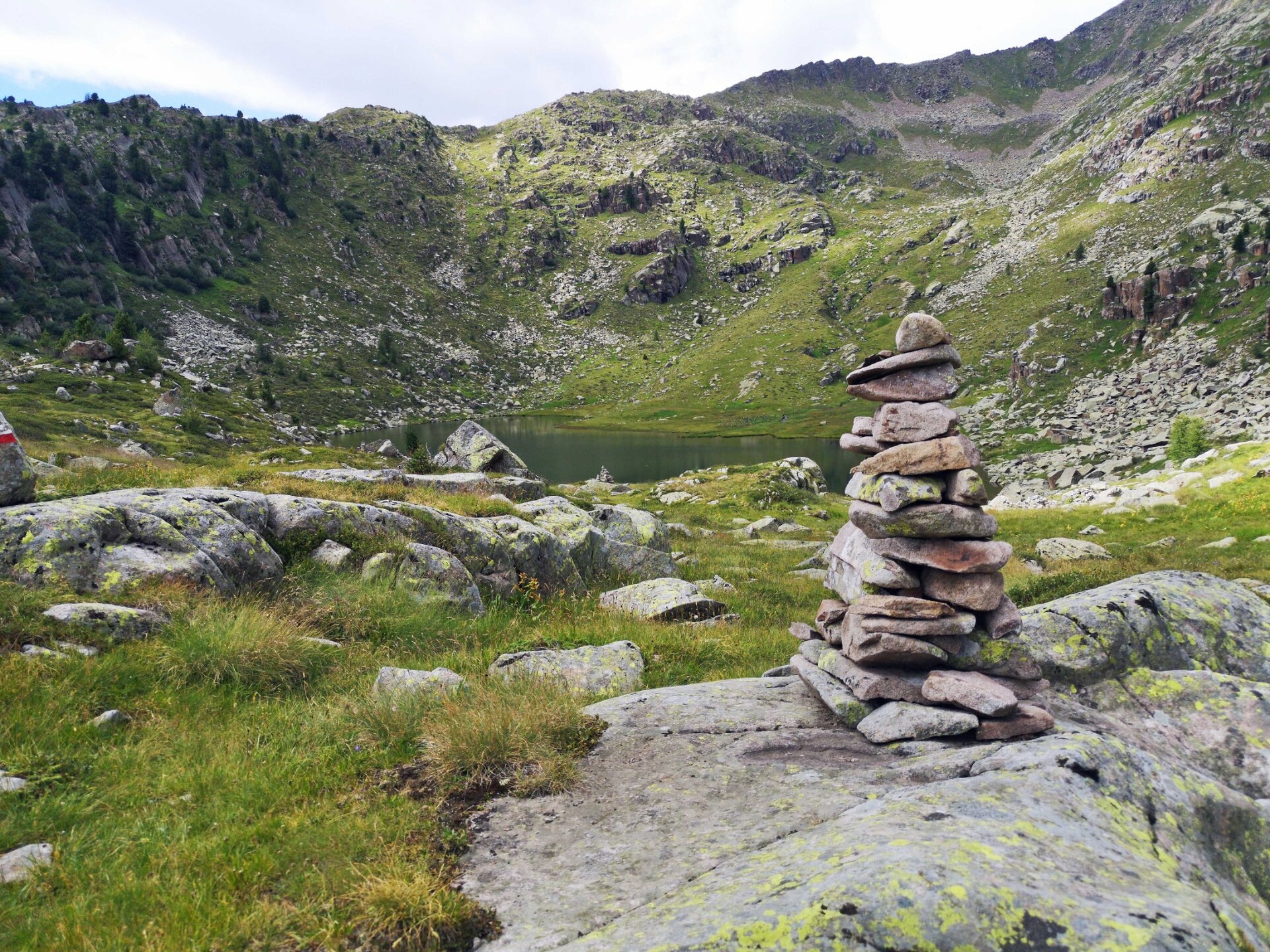
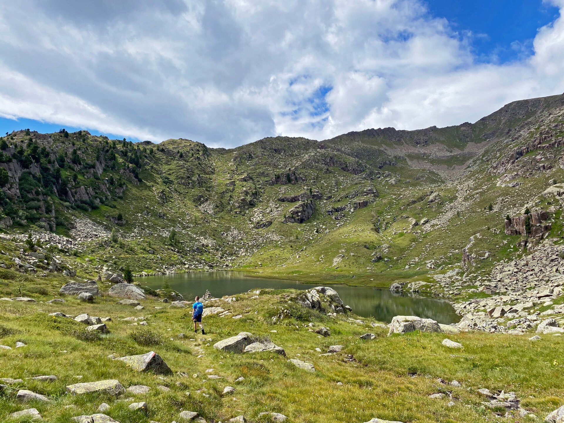
Once you reach the top with the Bellamonte 3.0 cableway, take the easy, almost flat forest road that leads gently through a bucolic landscape of wooden huts nestled in flower-filled alpine meadows and spruce forests. Lake Bocche, set among porphyry stones, invites you to cool your feet in its placid waters.
Gallery
Dalsze informacje i przydatne linki

MORE INFORMATION:

APT Val di Fiemme - Tel. +39 0462 241111 - info@visitfiemme.it - www.visitfiemme.it  

Alpe Lusia Bellamonte - Tel. +39 0462 576234 - www.alpelusia.it - bellamonte@alpelusia.it 

Categories
  • Wędrówka górska
Tags
  • Piękne widoki
  • Sekretna wskazówka
  • Szlak długodystansowy
  • Bufet
  • Kolej górska
Dane trasy
łatwy
Dystans
13,7 km
Czas przejścia
4 h 00 min
Pod górę
475 m
Przyzwoity
475 m
Stan fizyczny
Scenariusz
Najwyższy punkt
2.248 m
Najniższy punkt
1.890 m
Wskazówka autora

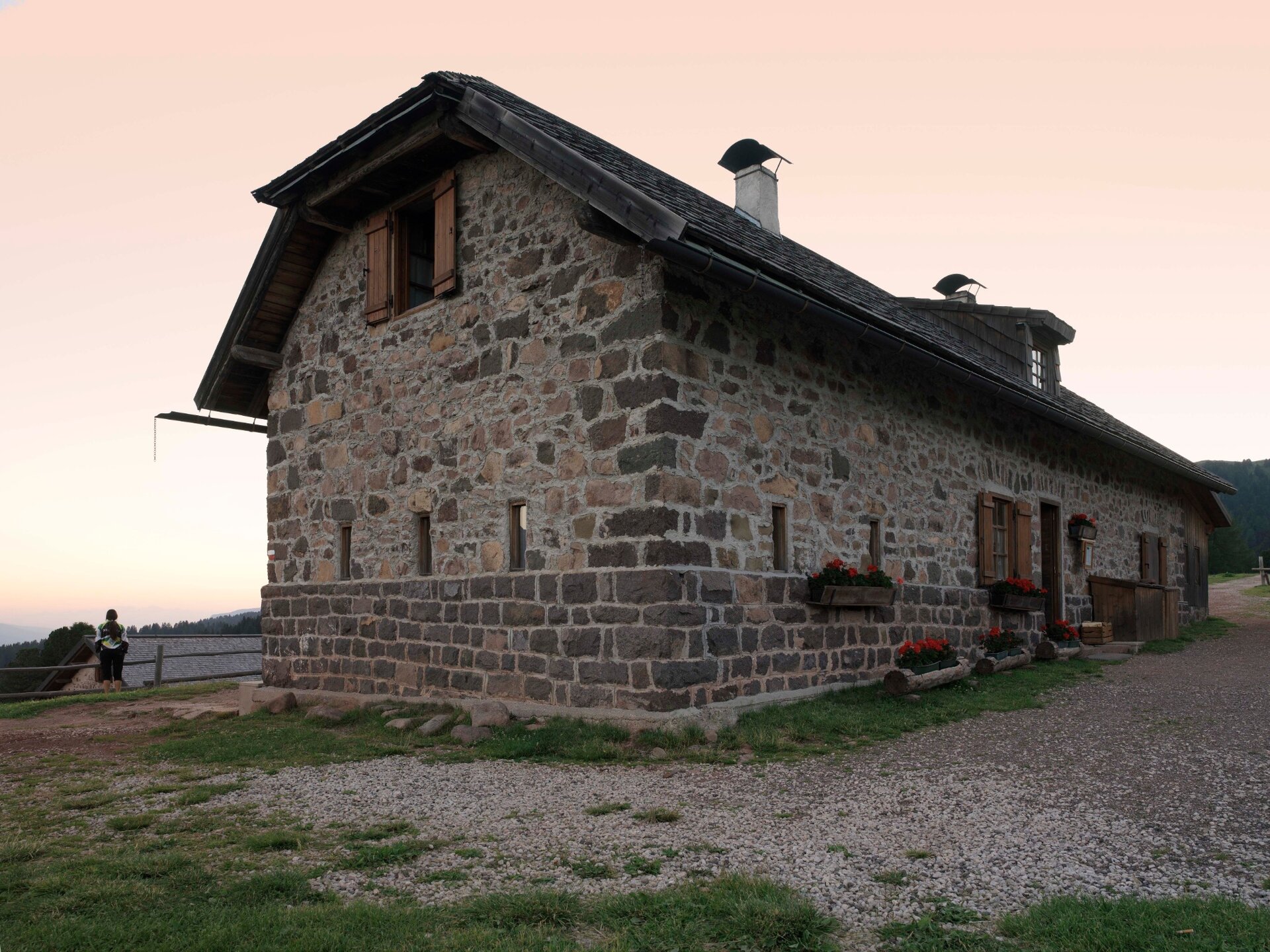
The stop at Malga Bocche is a feast for the eyes and the palate.

You might be interested in
Odkryj powiązane wycieczki
© G. Zanon, APT Fiemme Cembra
Trudny
Predazzo
Translagorai - Tappa 4
Dystans 15,0 km
Czas przejścia 7 h 00 min
Pod górę 1.000 m
Przyzwoity 1.240 m
© M. Rizzi, APT Fiemme Cembra
średni
Tesero, Predazzo
Rifugio Torre di Pisa
Dystans 9,0 km
Czas przejścia 5 h 00 min
Pod górę 800 m
Przyzwoity 800 m
© Nieznany
średni
Predazzo
Tra porfido e dolomia: trekking con vista Lagorai e Pale di San Martino - Tappa 3
Dystans 12,8 km
Czas przejścia 6 h 00 min
Pod górę 1.030 m
Przyzwoity 984 m
© Stefano Campo, Rete di Riserve Val di Cembra Avisio
łatwy
Faver, Grauno, Grumes, Valda
Il Lac del Vedes, scrigno di biodiversità
Dystans 14,6 km
Czas przejścia 6 h 00 min
Pod górę 700 m
Przyzwoity 700 m
Status
otwarte
© Ufficio Turistico Altopiano di Piné e Valle di Cembra
łatwy
Giovo
Sentiero del Mancabrot e del Lac de Montesel
Dystans 8,4 km
Czas przejścia 3 h 30 min
Pod górę 400 m
Przyzwoity 400 m
© Staff Outdoor Val di Fiemme, APT Fiemme Cembra
Trudny
Castello-Molina di Fiemme, Cavalese, Tesero
Translagorai - Tappa 1
Dystans 12,6 km
Czas przejścia 7 h 00 min
Pod górę 1.000 m
Przyzwoity 620 m