To the navigation Skip to main content To the footer
Top

Lago di Bocche

Predazzo
Category
Difficulty
Easy
Duration
4:00
in hours
Distance
13.7
in km
Suggested period
Jan
Feb
Mar
Apr
May
Jun
Jul
Aug
Sep
Oct
Nov
Dec

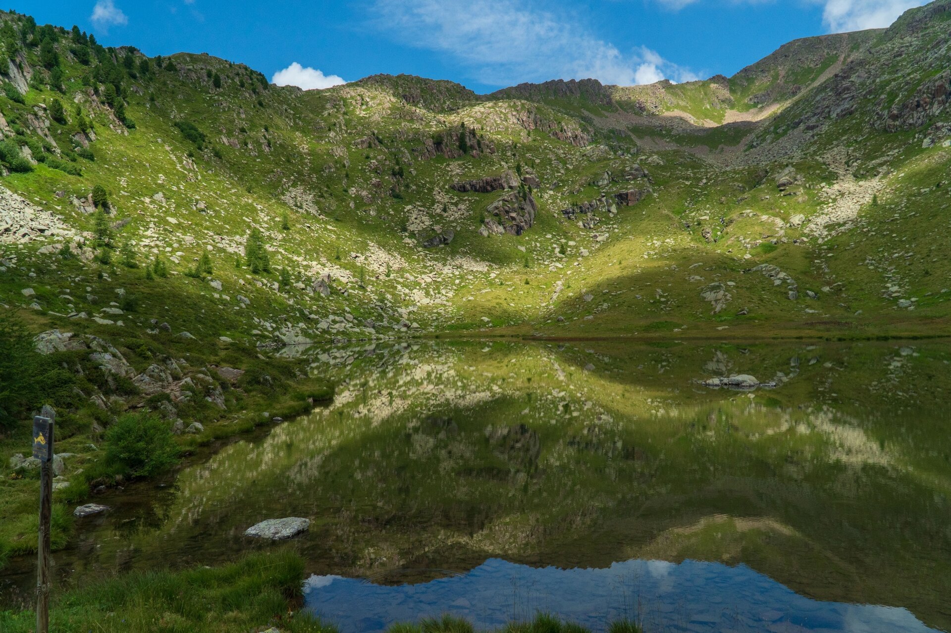
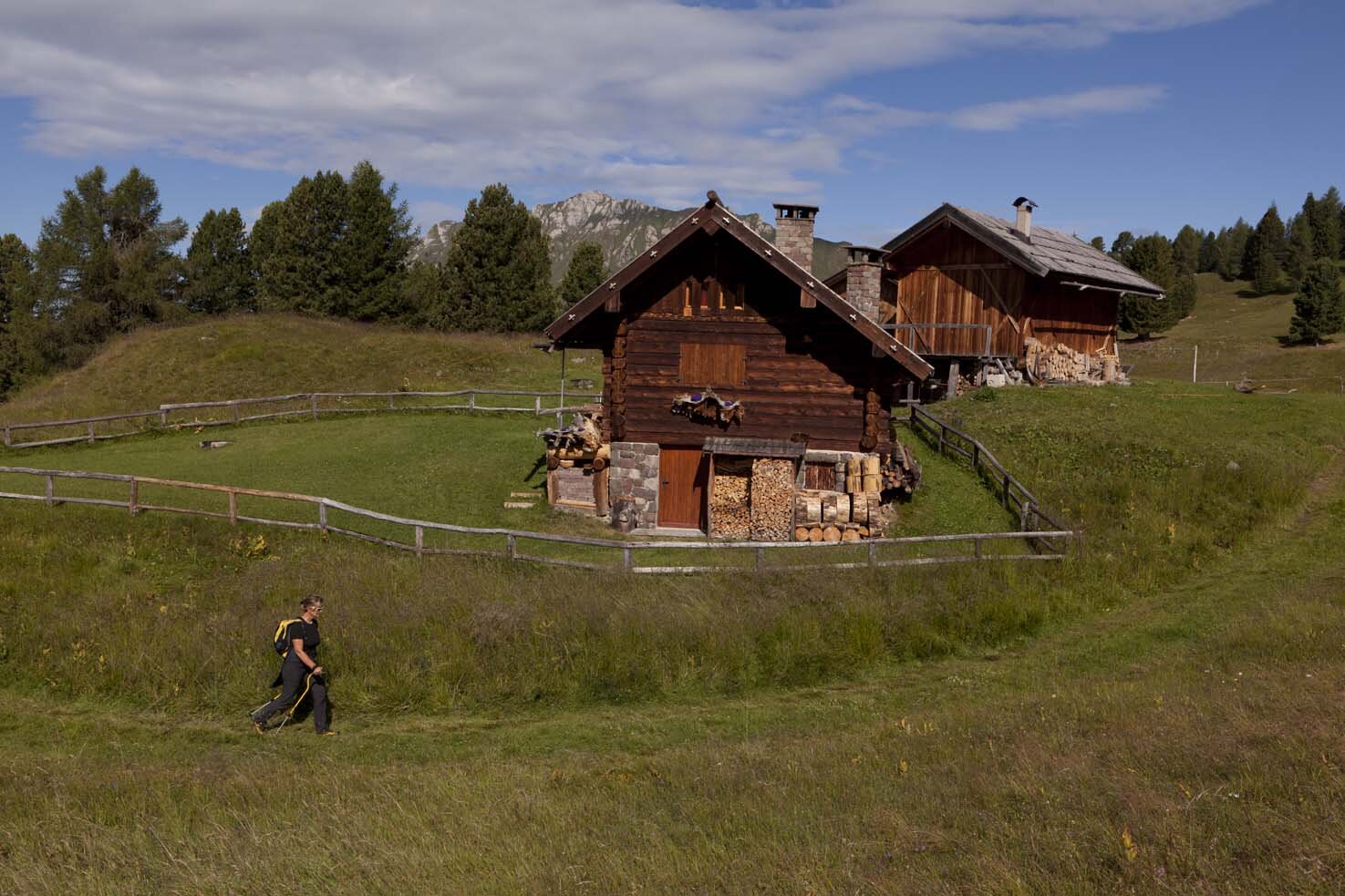
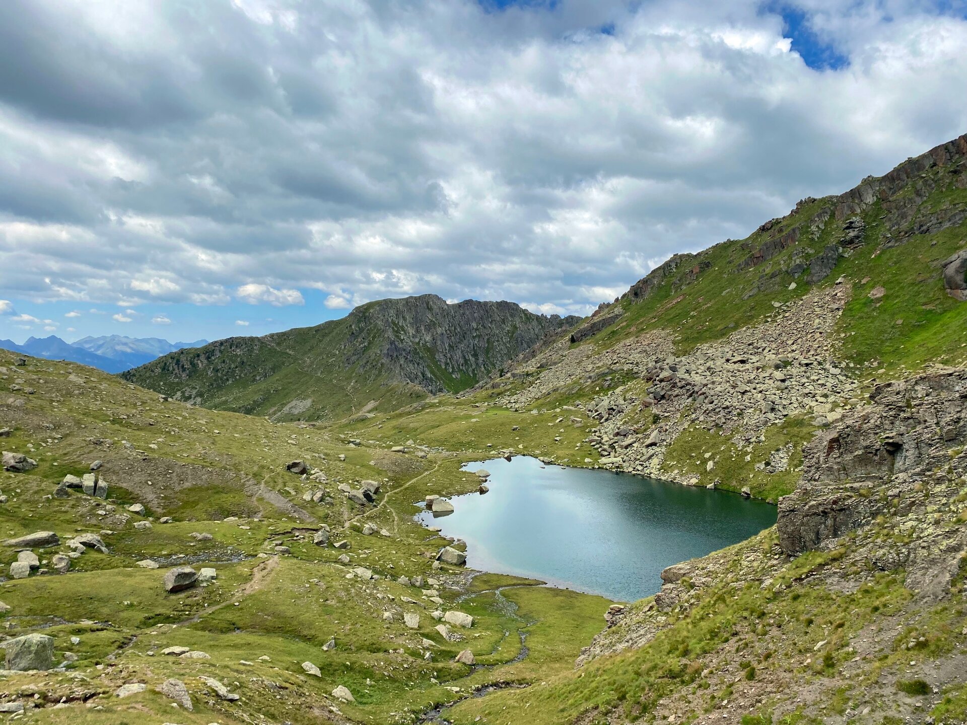
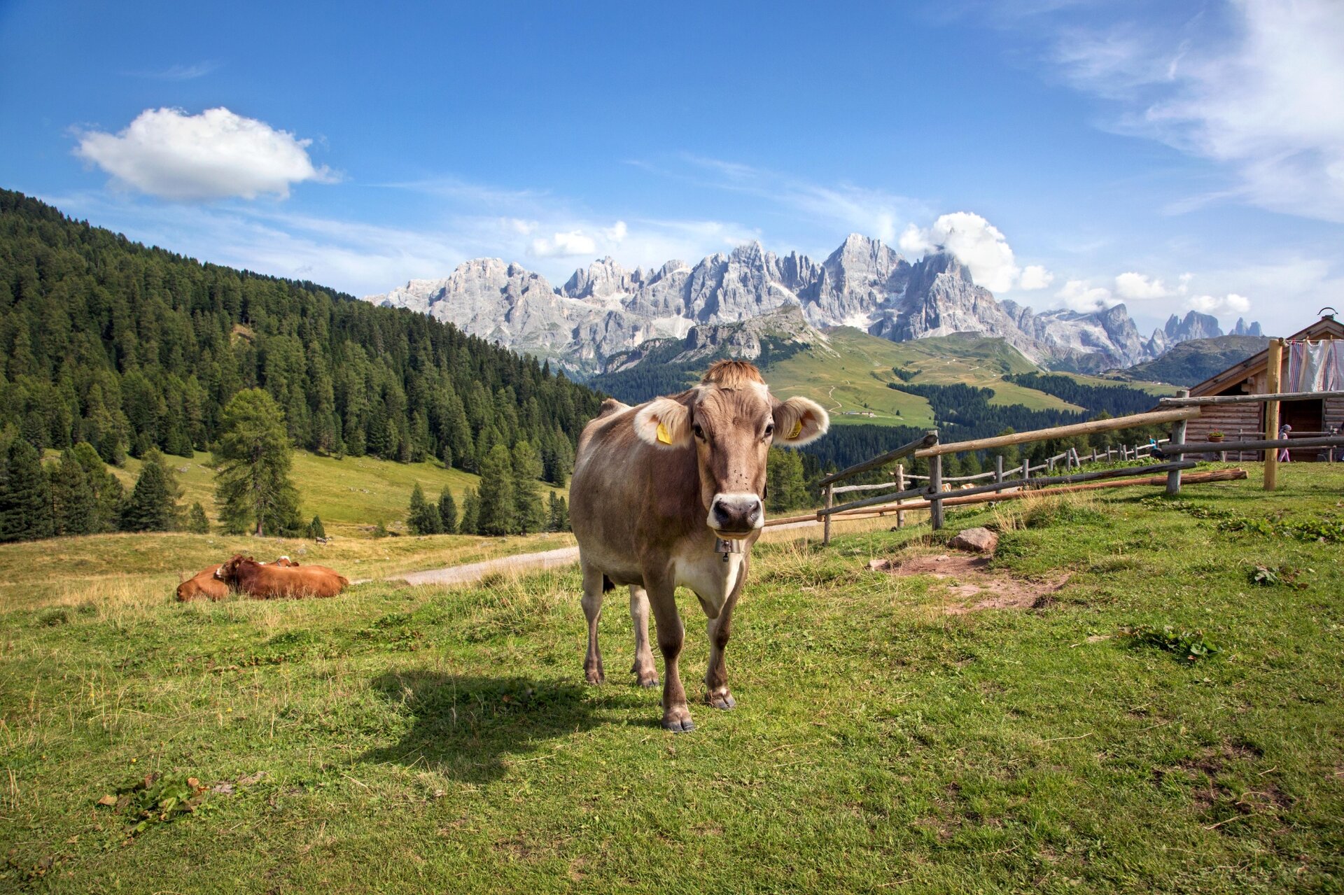
A simple but fascinating itinerary. A route between pastures and typical wooden huts with an alpine lake as the final destination.

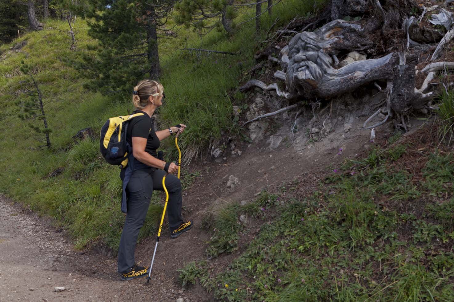
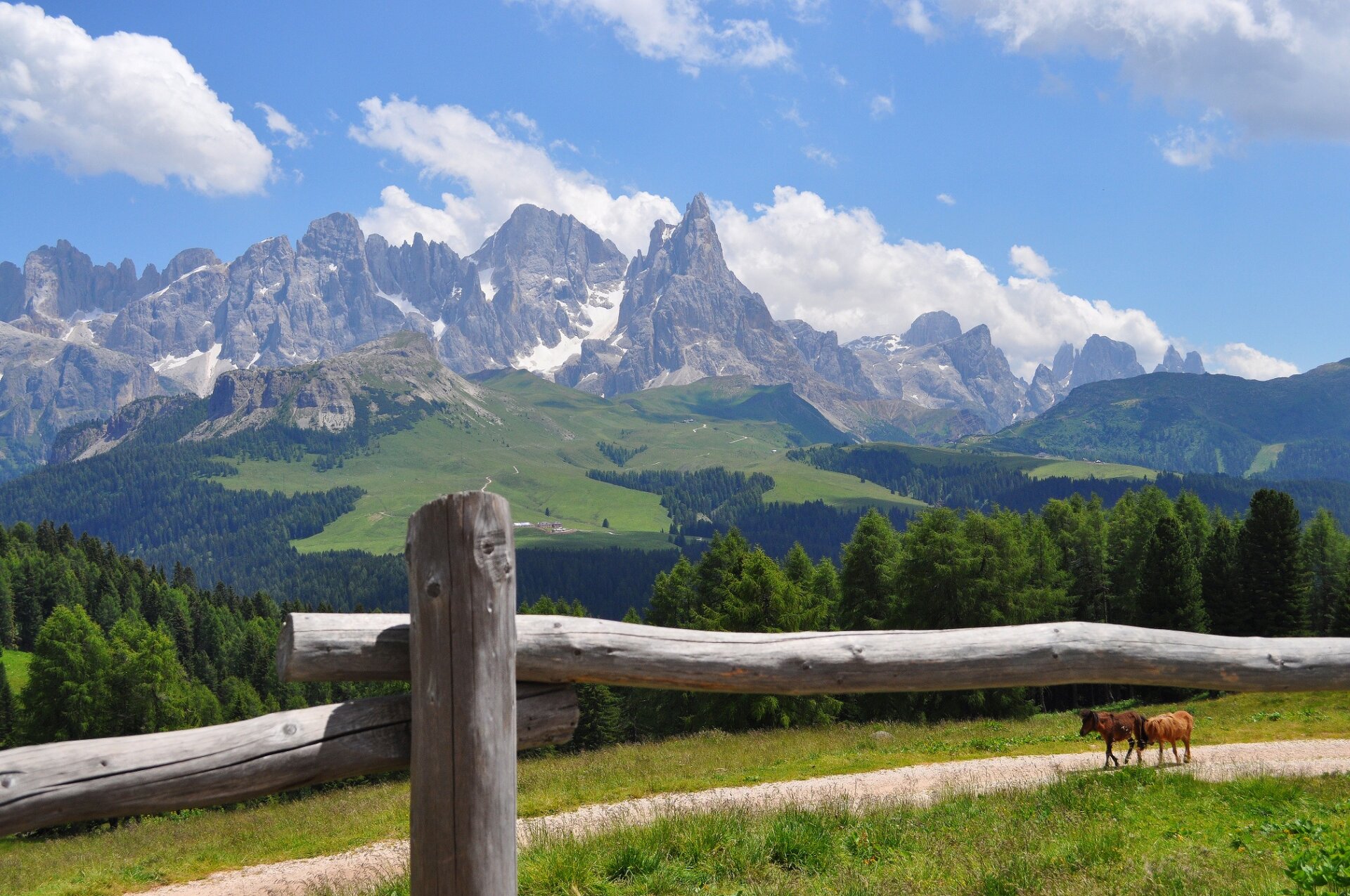
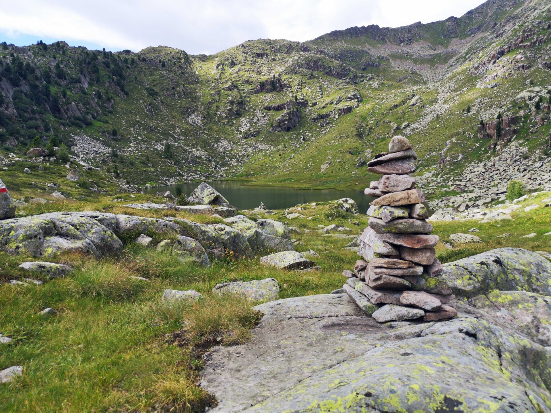
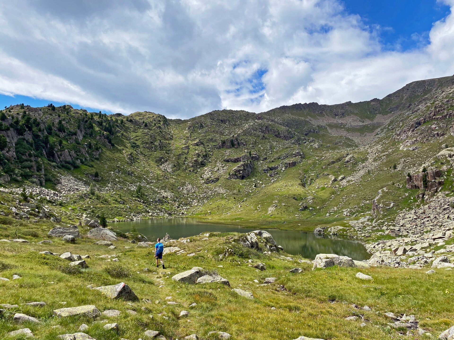
Once you reach the top with the Bellamonte 3.0 cableway, take the easy, almost flat forest road that leads gently through a bucolic landscape of wooden huts nestled in flower-filled alpine meadows and spruce forests. Lake Bocche, set among porphyry stones, invites you to cool your feet in its placid waters.
Further information and useful links

MORE INFORMATION:

APT Val di Fiemme - Tel. +39 0462 241111 - info@visitfiemme.it - www.visitfiemme.it  

Alpe Lusia Bellamonte - Tel. +39 0462 576234 - www.alpelusia.it - bellamonte@alpelusia.it 

Tags
  • Scenic
  • Insider tip
  • Out and back
  • Refreshment stops available
  • Cableway ascent/descent
Route data
Easy
Distance
13,7 km
Duration
4 h 00 min
Ascent
475 m
Decent
475 m
Physical condition
Scenary
Highest point
2.248 m
Lowest point
1.890 m
Suggestions

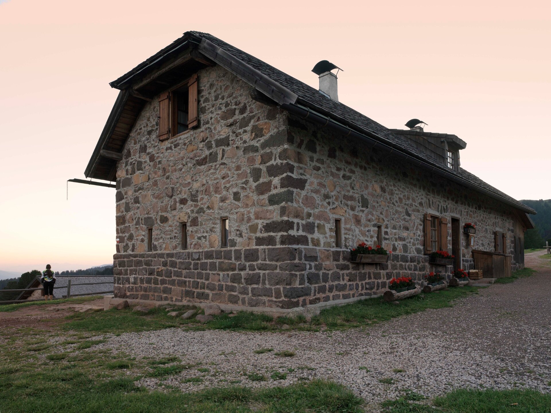
The stop at Malga Bocche is a feast for the eyes and the palate.

You might be interested in
Discover related tours
Route around Monte Cornon | © M. Rizzi, APT Fiemme Cembra
Intermediate
Panchià, Tesero
Tour of Monte Cornon
Distance 7,7 km
Duration 3 h 30 min
Ascent 340 m
Decent 340 m
New trees grow wild near felled plants | © B. Crosignani, APT Fiemme Cembra
Ville di Fiemme
Route "The Resilient Forest of Storm Vaia"
Distance 2,9 km
Duration 1 h 00 min
Ascent 130 m
Decent 130 m
© Alessandro Cristofoletti, APT Trento
Intermediate
Capriana, Faver, Grauno, Grumes, Valda
Trekking of the ancient lakes - Day 2
Distance 12,5 km
Duration 4 h 00 min
Ascent 575 m
Decent 159 m
© Azienda per il Turismo Altopiano di Piné e Valle di Cembra
Intermediate
Sover, Faver, Grauno, Grumes, Valda
Old Trades Path - complete itinerary
Distance 13,3 km
Duration 6 h 00 min
Ascent 836 m
Decent 810 m
The Potzmauer refuge with the large linden tree | © Patrick Odorizzi, Rete di Riserve Val di Cembra Avisio
Easy
Faver, Grauno, Grumes, Valda
Hike to Rifugio Potzmauer - from Grumes
Distance 5,0 km
Duration 2 h 20 min
Ascent 320 m
Decent 314 m
Status
open
Cece Spitze | © G. Zanon, APT Fiemme Cembra
Difficult
Predazzo
Translagorai - Stage 4
Distance 15,0 km
Duration 7 h 00 min
Ascent 1.000 m
Decent 1.240 m