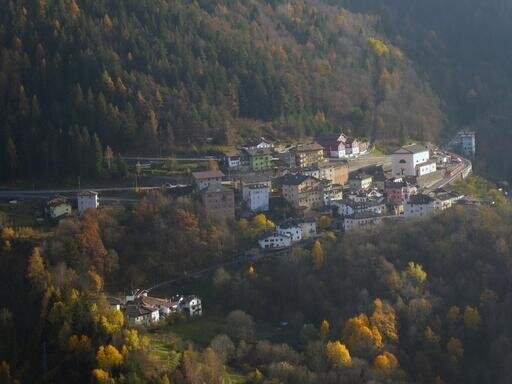
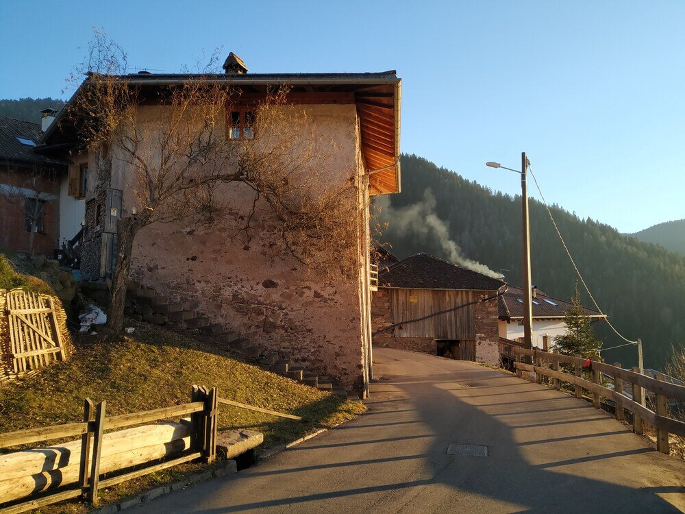
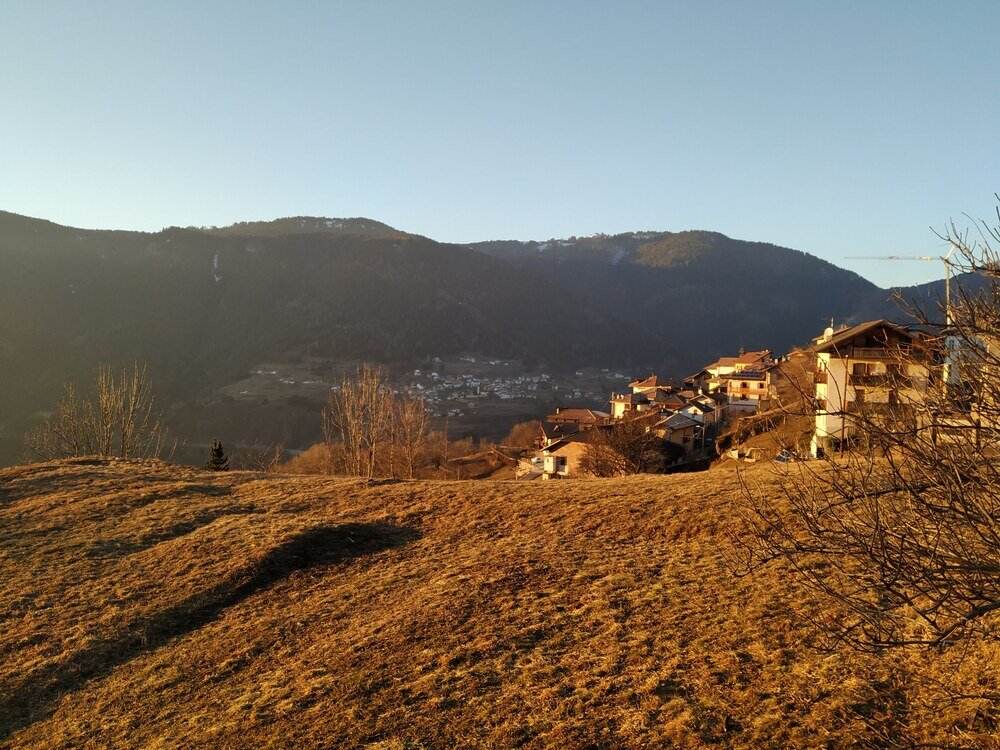
Houses courageously perched on the slopes of the valley, surrounded by meadows and majestic woods
Valfloriana, the "Valley of Flowers", owes its name to its patron Saint Florian, although legend tells of the sacrifice of the inhabitants who, to save their Queen, the "most beautiful and just Madonna," from a witch’s curse, accepted to be transformed into flowers of all kinds and colors.
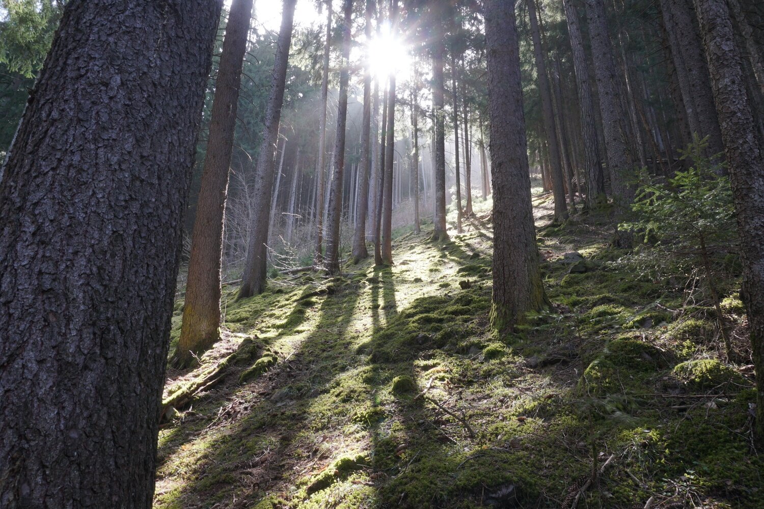
Our route starts from Casatta, the main hamlet of the village. The flat road begins behind the municipal building in Casatta. Where the road slightly descends, take the path on the right, which leads to a small shrine and an iron footbridge crossing the Barcatta stream. Continue until you reach the concrete footbridge crossing the provincial road. From here, ascend to Barcatta. After passing the hamlet, near the bus stop, follow the signs to Palù, which you reach via a forest trail.
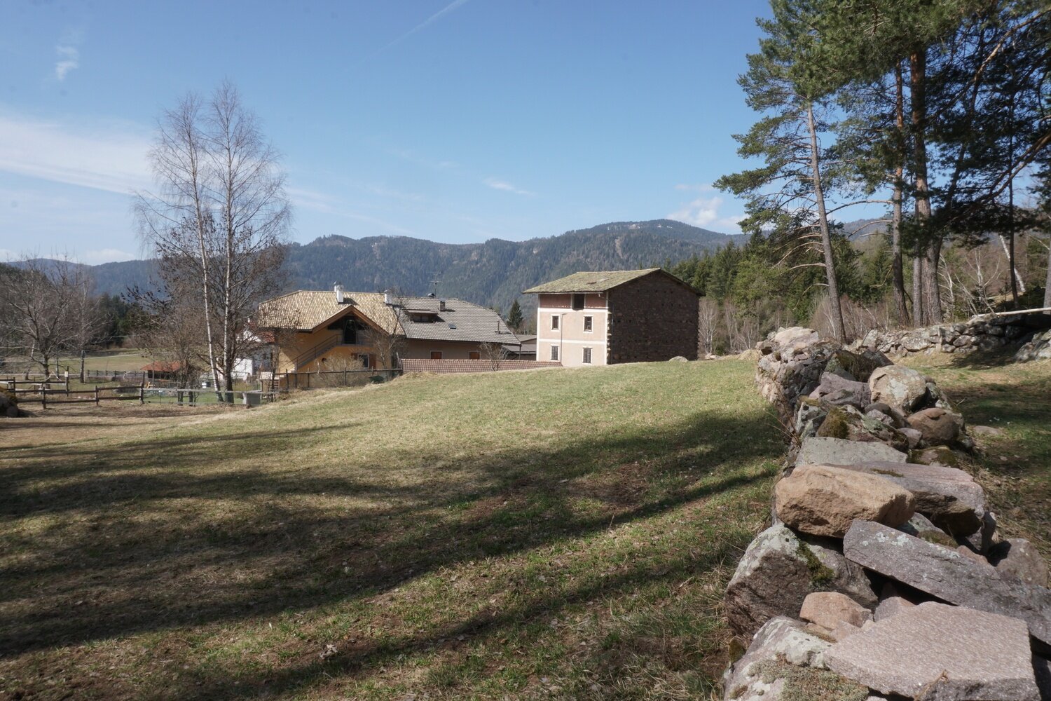
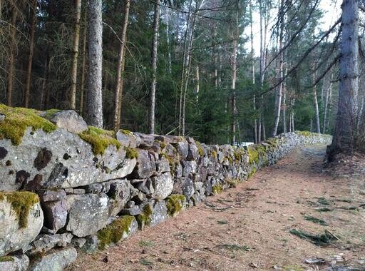
The small cluster of houses built around the fountain is surrounded by a wide flat meadow in a natural amphitheater embraced by trees. Behind the village, a circular path allows a walk around the settlement, skirting an ancient dry stone wall. Returning to the village entrance, head to the hamlet of Dorà, where the sun welcomes you just out of the woods. The hamlet is very beautiful with its wide meadows and panoramic view of the valley. Continuing, take the path leading to the hamlets of Valle and Casanova. Upon reaching Valle, proceed along the path ascending towards Montalbiano and Sicina, the highest hamlets of the Valfloriana municipality. Then descend to the valley, parallel to the Seghe stream, and follow the old mule track that leads to Casanova and then back to Casatta.
Before returning to Casatta, a visit and a short detour to the Villaggio hamlet is worthwhile. It was built after the 1966 flood to house the inhabitants of the hamlets of Maso and Ischiazza, which were semi-destroyed and evacuated.
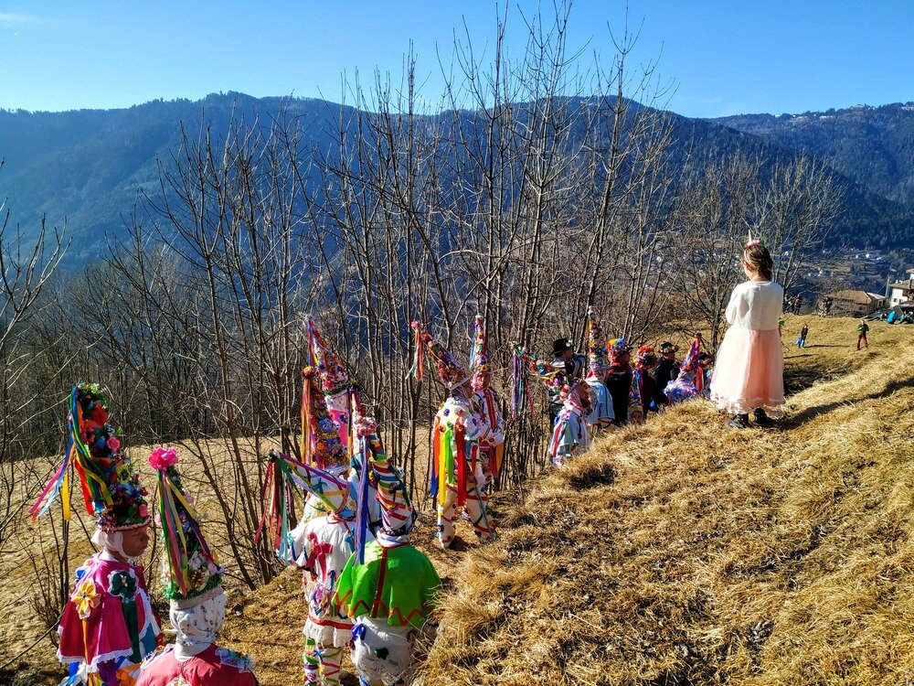
After this detour, you can retrace your steps along the old road, the same route traveled every year by the procession of the traditional Valfloriana carnival: an ancient, evocative rite full of meanings.