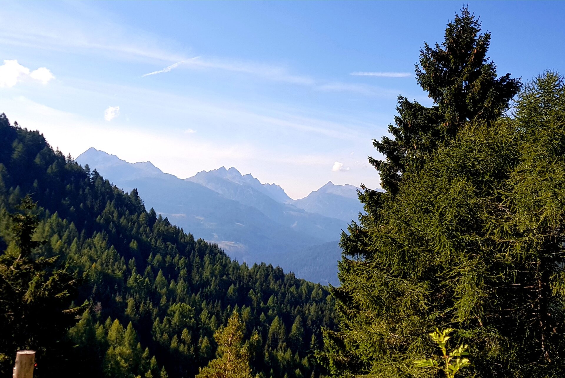
This itinerary is unknown by most people, but it boasts amazing views and it's the perfect place for those who love silence and solitude.
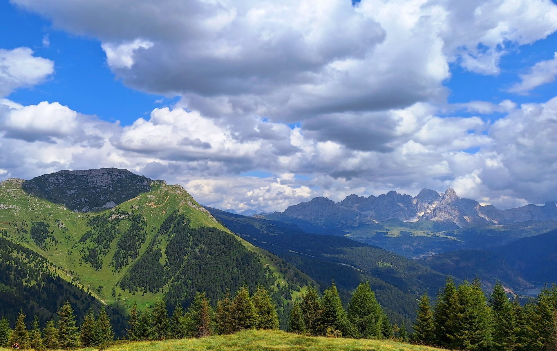
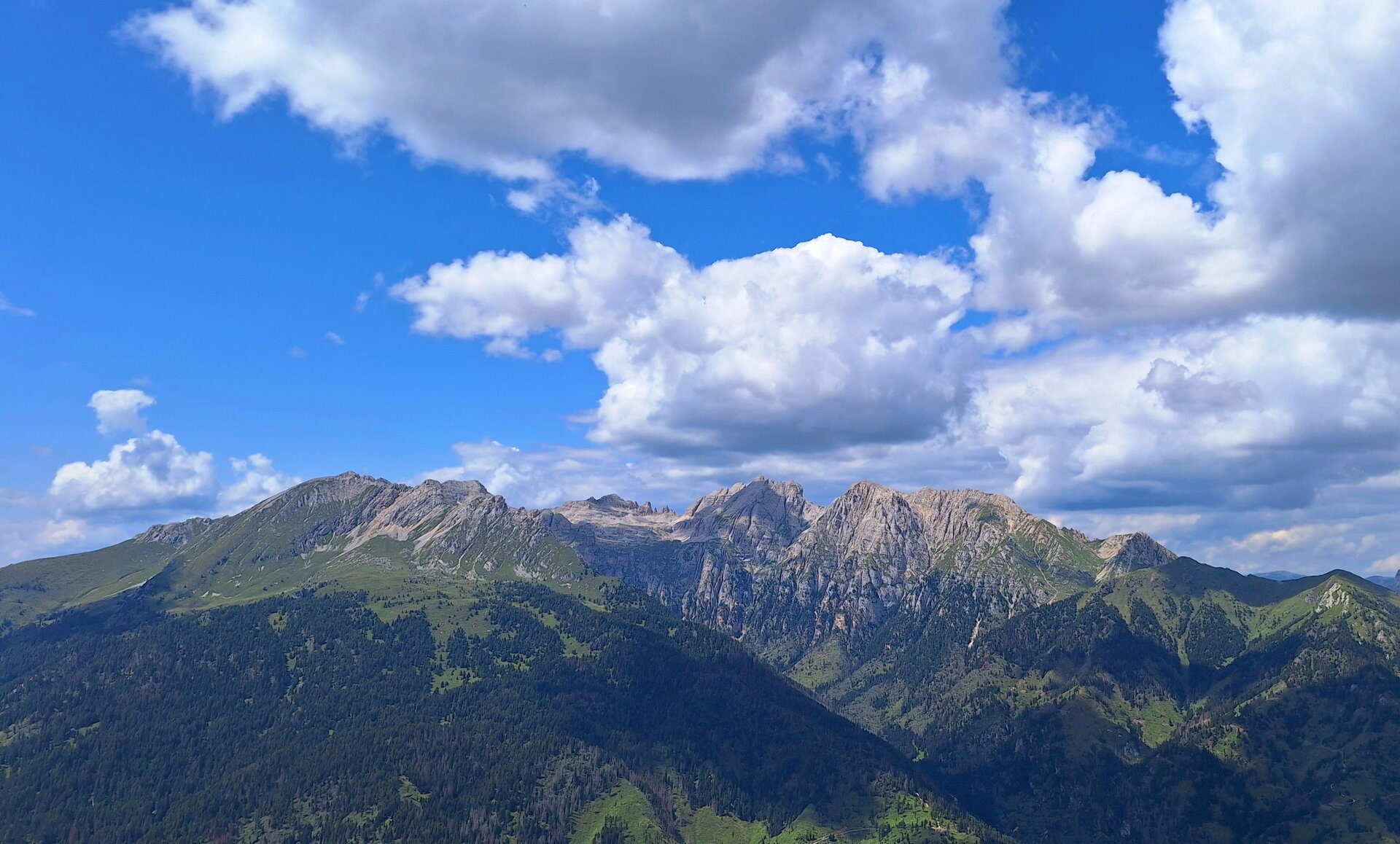
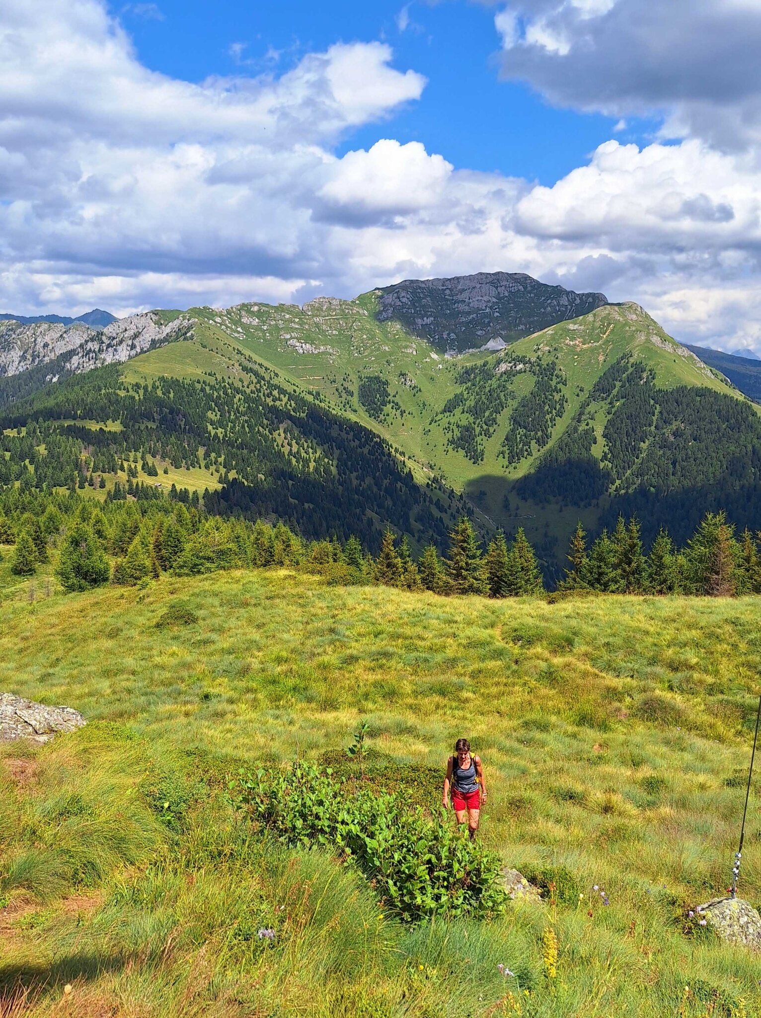
Monte Mulat rises to the north-east of the village of Predazzo between the Travignolo Valley and the Avisio Valley. This position makes it a first-rate observation point on the Dolomites, the Lagorai chain and part of Val di Fiemme. The access to the summit takes place through the steep Val di Viezzena and afterwards through the long north ridge which, with gentler slopes, allows a gradual and less tiring approach to the destination.
Rarely visited itinerary, it is often ignored to discover more fascinating peaks. But the big surprise is when you reach the top! The effort of the climb is rewarded by the unusual panorama that can be observed all around.
Wytyczne dotyczące bezpieczeństwa
THE 10 RULES FOR HIKERS
Prepare your itinerary beforehand
Choose an itinerary that suits your physical abilities
Choose suitable clothes and equipment
Check the weather forecast
Hiking by yourself is more risky; if this is the case, take a mobile phone with you
Leave information about your itinerary and your expected return time
If you are not sure about your itinerary, contact an Alpine Guide
Pay attention to signposts and directions that you find along your way
Do not hesitate in going back if you feel too tired
In case of emergency call 112
Please note that the practicability of the itineraries in a mountain environment is strictly linked to the contingent conditions and is therefore influenced by natural phenomena, environmental changes and weather conditions. For this reason, the information contained in this page may have changed. Before leaving for a tour, make sure the path you will approach is still accessible by contacting the owner of the mountain hut, the alpine guides or the visitor centres of the nature parks, the info offices of the local tourist board.
Punkt początkowy
Zaluna - bend at the beginning of Val di Viezzena
Wskazówki dojazdu
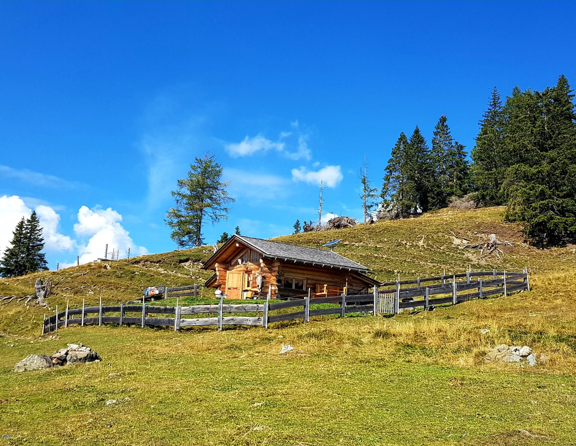
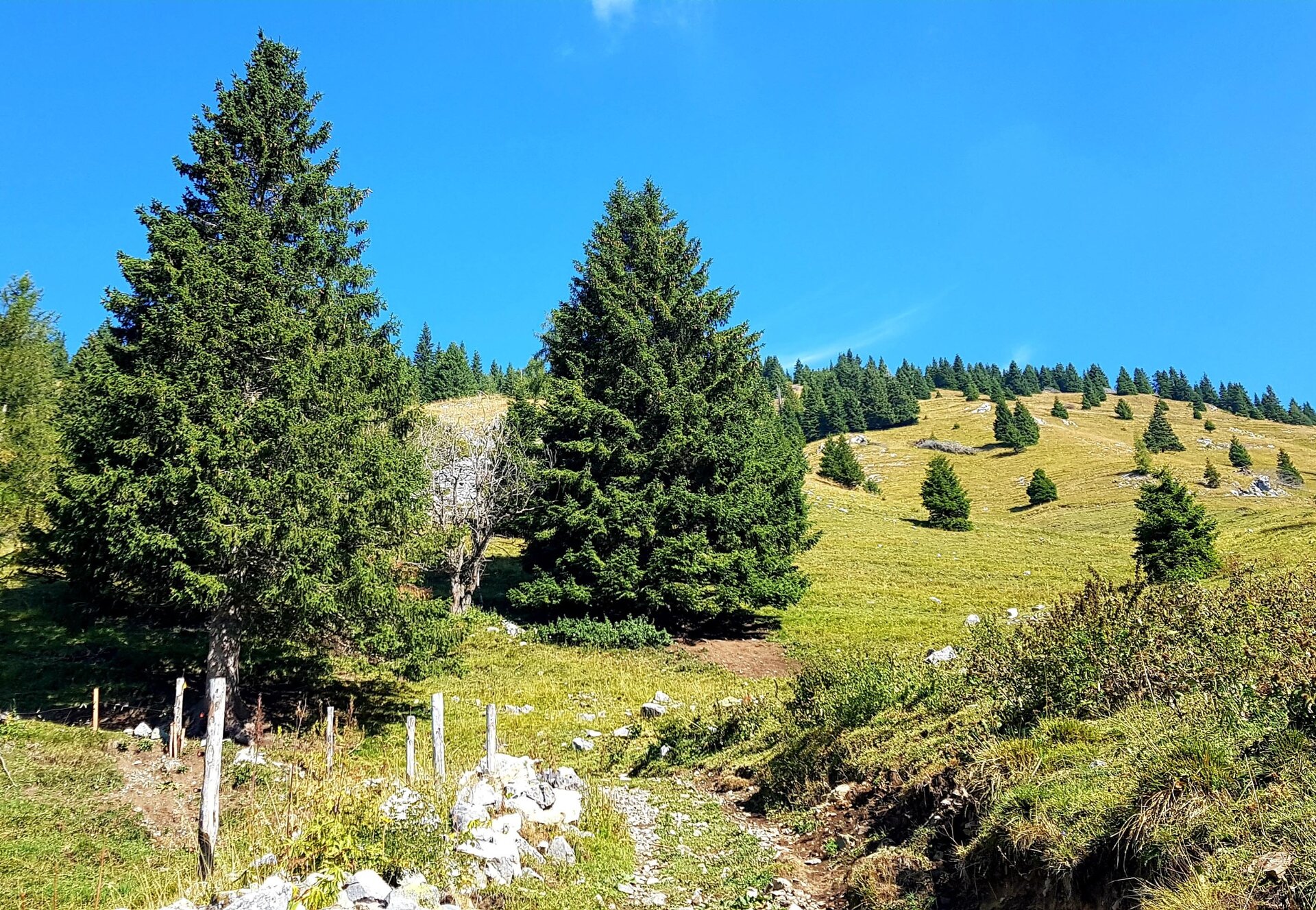
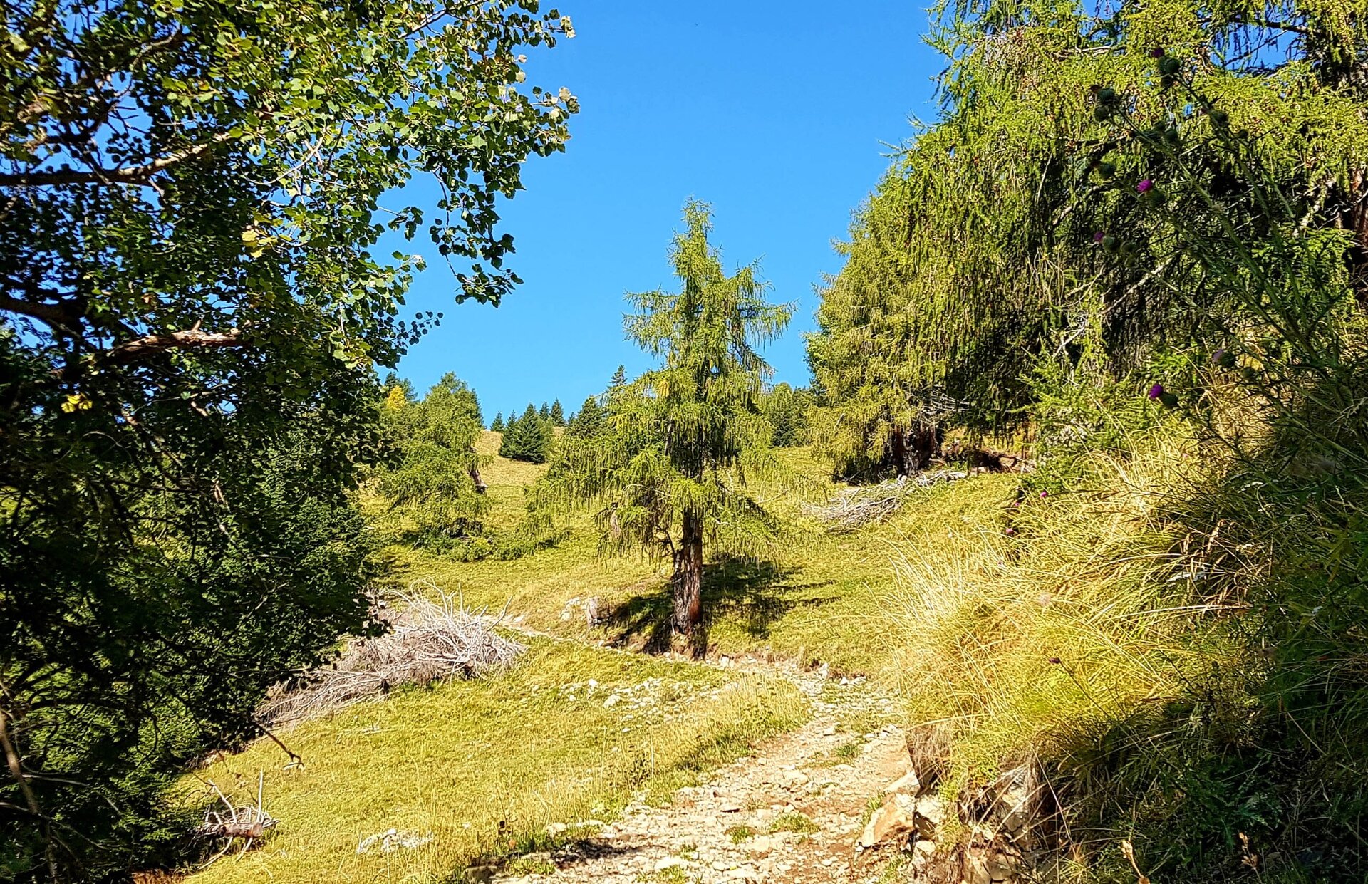
The itinerary starts immediately with a steep climb on a largely cemented road and then a dirt road that narrows the more you climb. The road allows the ascent of the Valle di Viezzena along the left side of the homonymous stream. At the crossroads at an altitude of 1740 m you will find the sign for trail Nr. 659 which indicates the beginning of the steep road which, on the left, climbs towards the Costa di Viezzena. Also in this section the slope remains steep until you reach the meadow where a beautiful hut called "Bait de le Vache" lies where there is the junction for the top of Viezzena and Monte Mulat.
Pass in front of the wooden hut and continue eastwards to go up on the ridge of the Costa di Viezzena which connects Monte Mulat with the Viezzena peak. You reach the pass after leaving behind some wooden fountains for livestock. Turn left and, with gentler slopes interspersed with some more decisive sections, you reach the summit of Mount Mulat. The path remains mainly on the highest point of the long ridge.
Return back along the same path.
Jak dojechać
From Predazzo take the road towards Passo Rolle. Reached Zaluna (hotel), continue until the first bend on the right where the CAI SAT path sign is visible. Leave the asphalted road and, crossing the stream, continue on the dirt road until you reach the traffic ban a few hundred meters later.
Gdzie zaparkować
Along the road.
Hiking shoes, rain-jacket, hiking poles, water, sun cream