A walk of great naturalistic, historical, and archeological interest. The route leads from a landscape of ancient volcanic rock (i.e. the porphyry of the Mancabrot ridge) to terrain made up of relatively young rock of marine origin on Monte Corona. Archeological finds attest to early Bronze Age settlements, and from the presence of copper, lead and silver ore, it can be assumed that minerals were mined in the area in very ancient times.
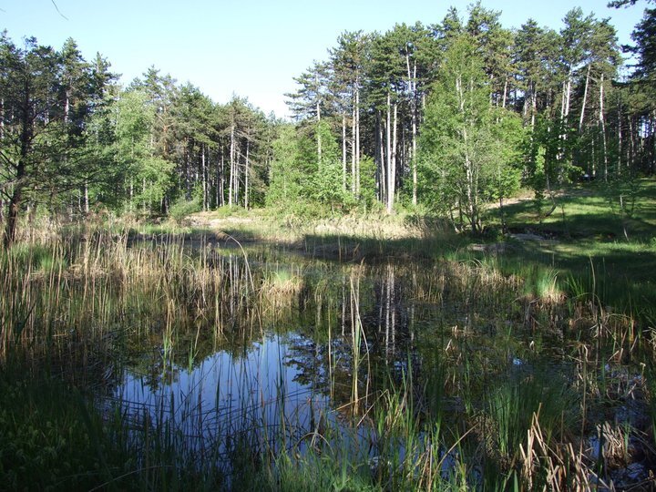
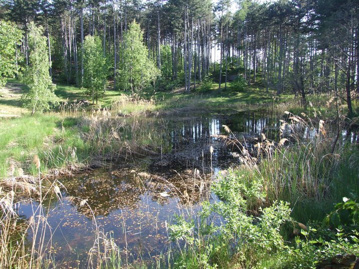
Along the trail, 13 points of special interest, 'stations', have been identified at which important natural, landscape, historical and cultural features can be observed. These stations are indicated on the ground by wooden markers with numbers that refer to the information on the notice boards. Some short steep sections require a minimum of attention, particularly if one proceeds in the opposite direction to that presented. The station's low altitude and thermophilic nature allow it to be visited even during most of the winter season. It is a loop trail that begins and ends at the Valternigo civic centre in the municipality of Giovo (information board, fountain and car park), at an altitude of approximately 650 metres. The path, which is rich in naturalistic, historical and archaeological points of interest, runs along the various pine-covered rises that make up the Mancabrot ridge and finally reaches the small, picturesque 'Lac de Montesel' wetland, located within the Maric Woods (812 m). From the pond we descend to the Pian del Lac saddle below, where we find another interesting marsh, apple orchards and meadows where it is not uncommon to spot deer and roe deer grazing. Through an evocative path that unravels among the various crops, we return to the starting point. The itinerary's kilometre development is modest, quantifiable at around 4.5 km, with a contained uphill difference in height of less than 200 metres; it is therefore a route suitable for many, which can be covered at a leisurely pace, taking into account a few stops at the information and viewpoints, in 2-3 hours, apart from any further exploration.