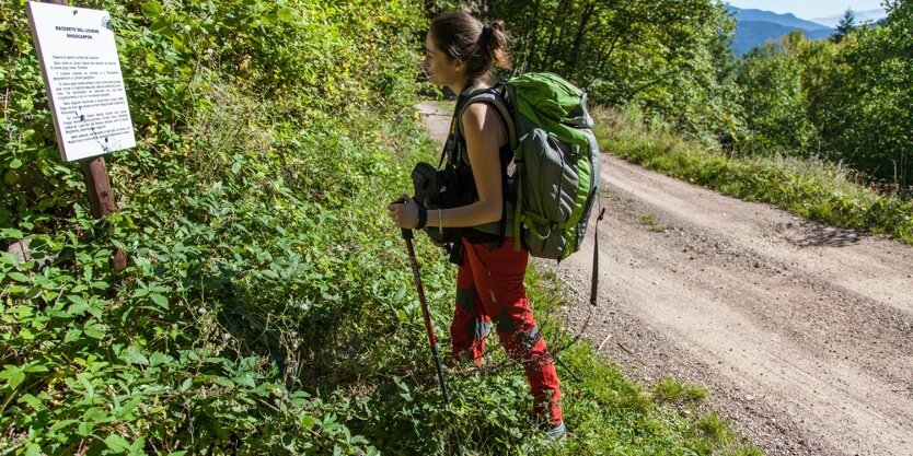
An itinerary from Lago Santo di Cembra to Prà del Manz in Capriana with interesting insights dedicated to the flora of the route
The Botanical Nature Trail on the Dossone di Cembra allows visitors to learn about the places, nature and environment of the Upper Cembra Valley, thanks to valuable illustrative tables. It follows forest roads and ancient mule tracks that connect Lago Santo di Cembra with the locality of Prà del Manz in Capriana.
Although the route does not present any particular technical difficulties or dangerous sections, we always and in all cases recommend observing the general safety rules for hiking in the mountains.
Prepare your route
Choose a route suitable for your preparation
Choose suitable equipment and gear
Consult weather reports
Setting out alone is riskier
Leave information about your itinerary and approximate time of return
Do not hesitate to rely on a professional
Pay attention to the signs and markings you find on the route
Do not hesitate to retrace your steps
In case of an accident raise the alarm by calling the short number 112
The information in this sheet is subject to inevitable changes, so no indication has absolute value. Inaccuracies or inaccuracies cannot be completely avoided, in view of the rapidity of environmental or meteorological changes that may occur. As such, we disclaim any responsibility for any changes experienced by the user. We recommend, however, to ascertain, before hiking, the state of the places and the environmental or weather conditions.
Starting point
Cembra Holy Lake (Cembra Lisignago)
Directions
From Holy Lake, the trail is marked with markers marked with the trail logo. Return should be done independently by arranging transportation.
Hiking boots
Hiking poles
You might be interested in
Discover related tours
Easy
Capriana
Walk around old huts in the nearby of the village Capriana