Directions
To reach the Geotrail Dos Capèl path, take the cable car to Gardonè and then the chairlift to Passo Feudo (2,200 m).
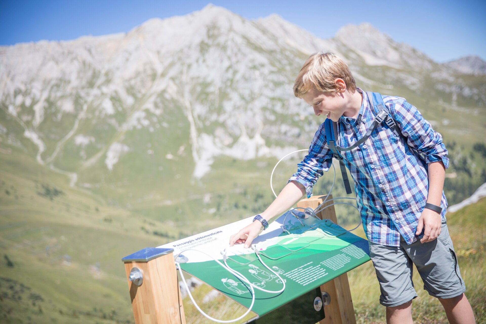
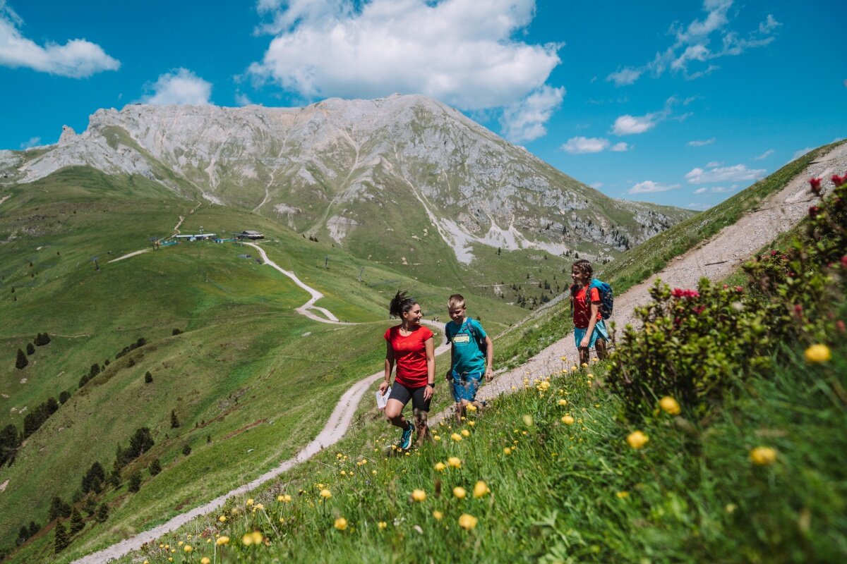
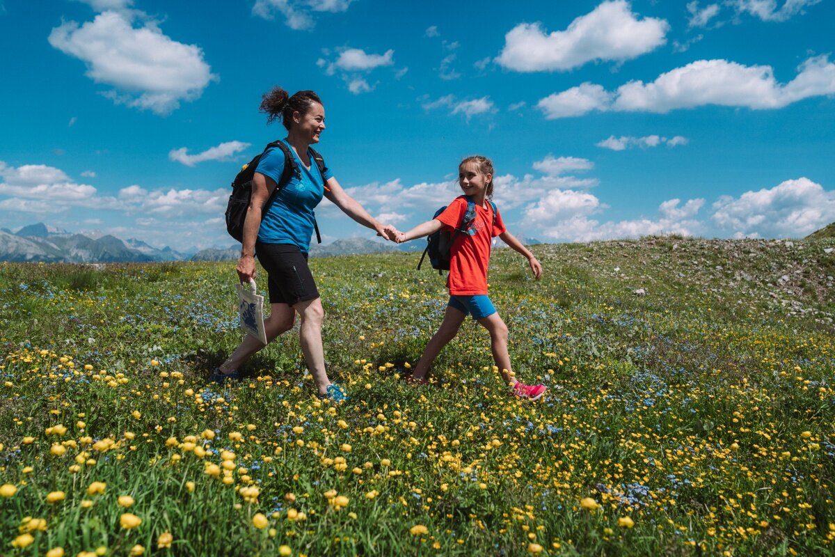
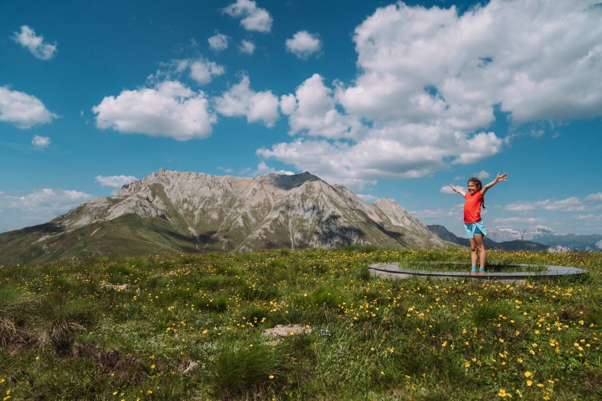
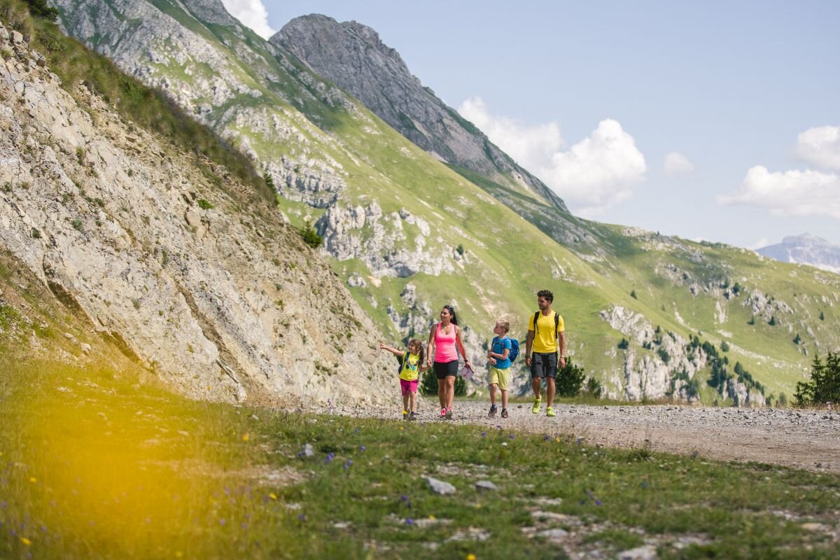
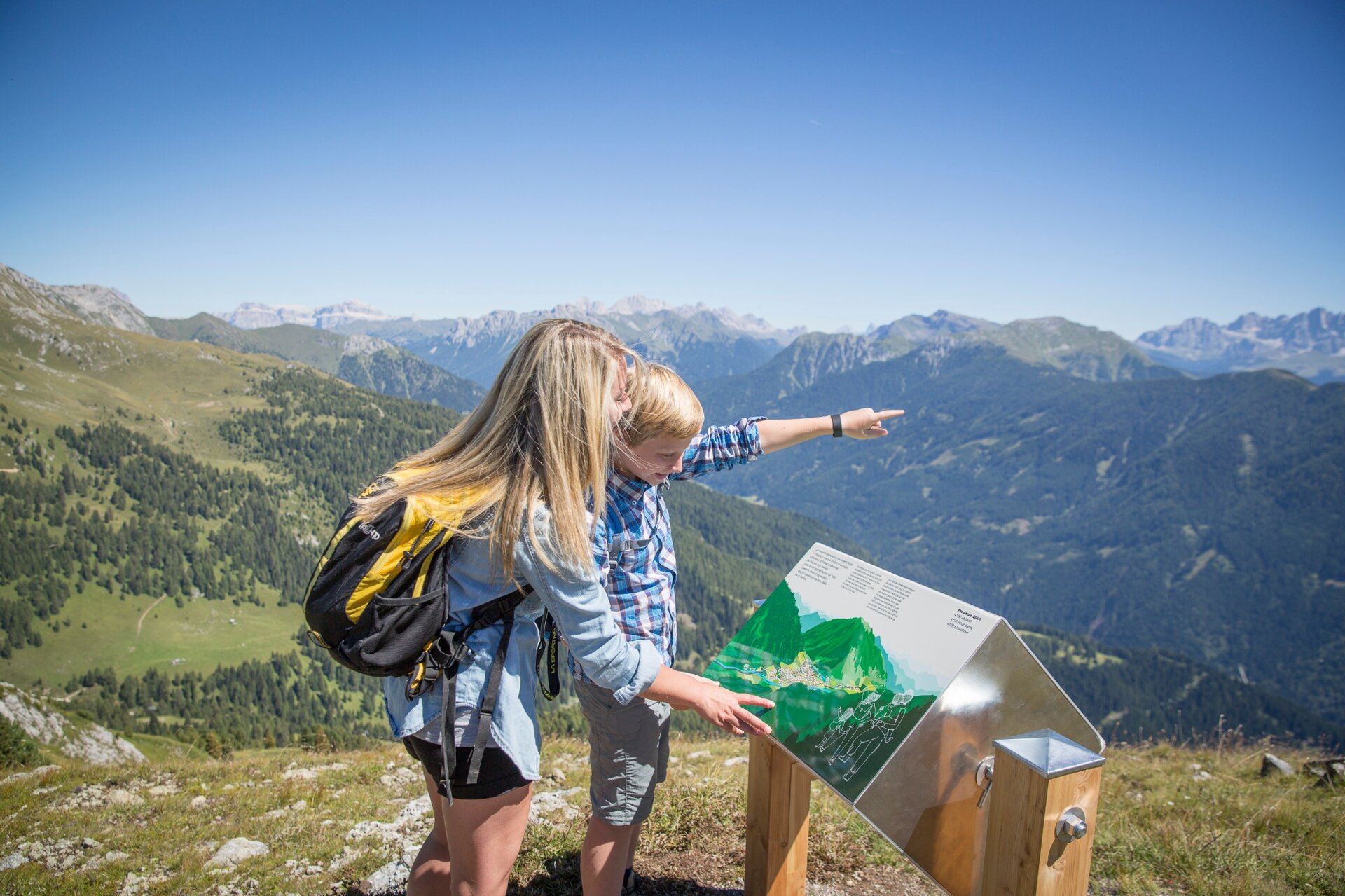
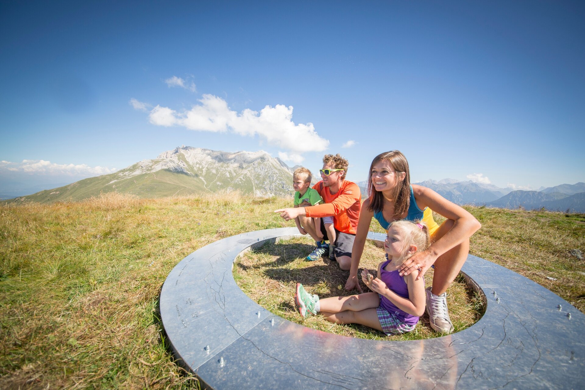
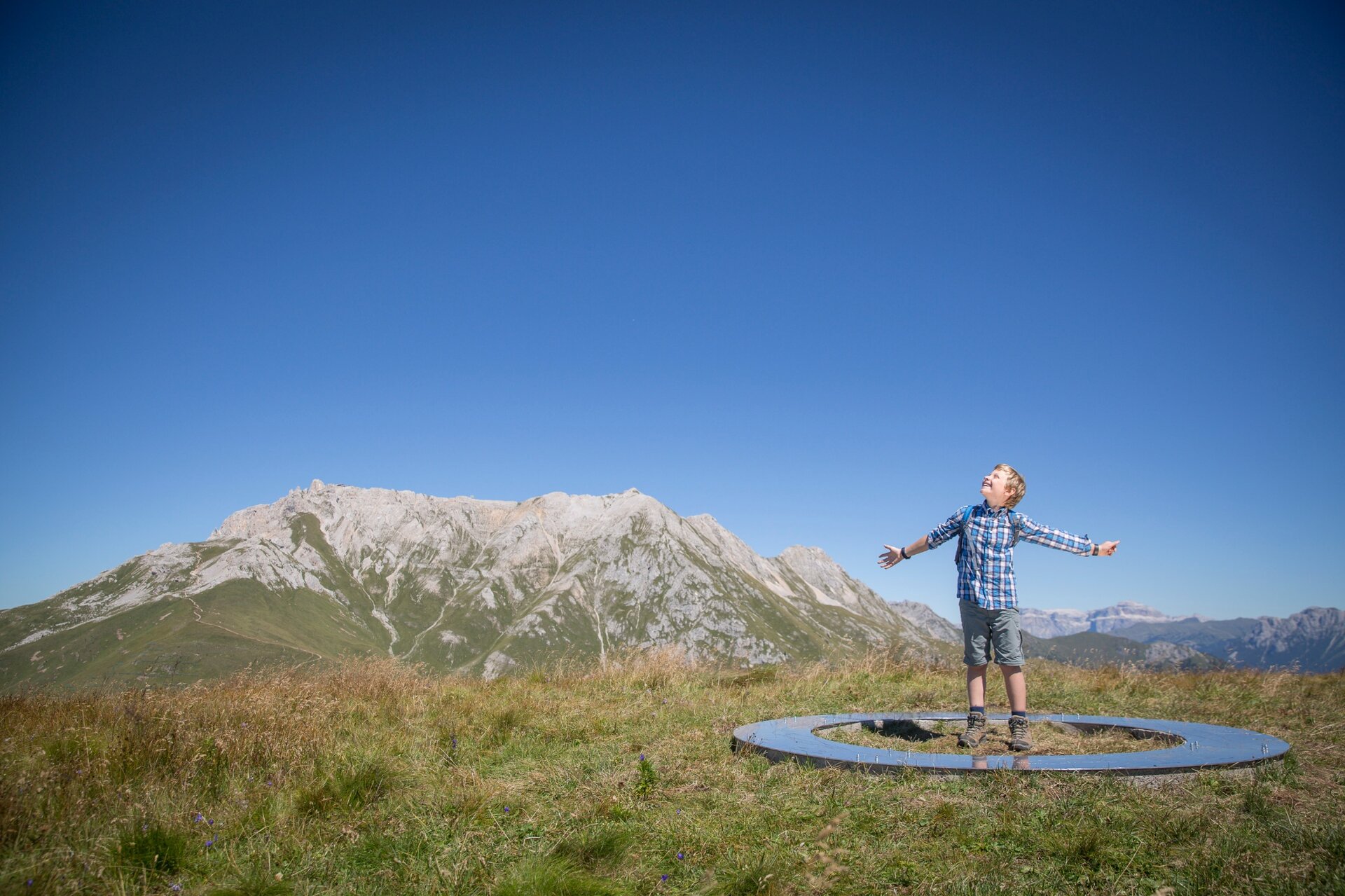
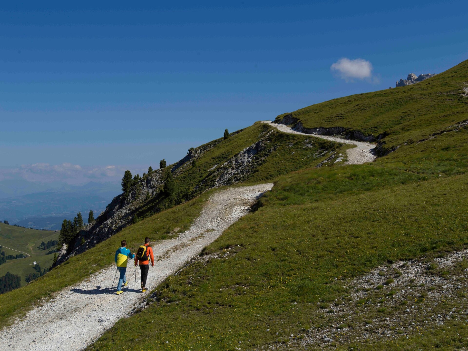
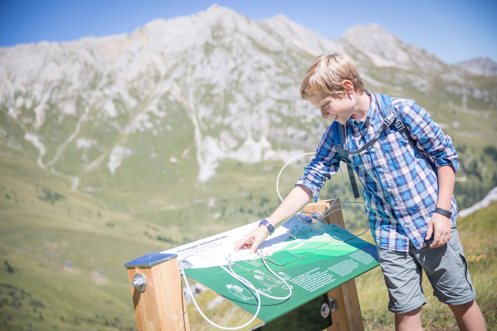
From Passo Feudo, descend slightly to the right, leaving the refuge behind you. The path is unpaved, with a vast panorama of the peaks of the Dolomites and the Lagorai Chain. The direction is marked by arrows and installations: there are 19 of them, each helping you curiously read the rock stratifications and the adaptations of plants to different soil types. It feels like walking backwards in time: among rocks that echo a sea from 250 million years ago and black layers of volcanic rocks.
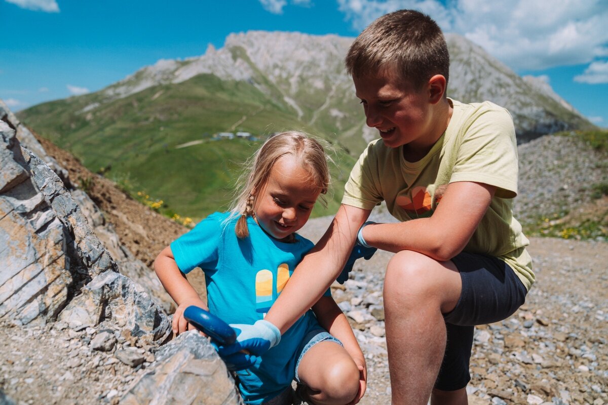
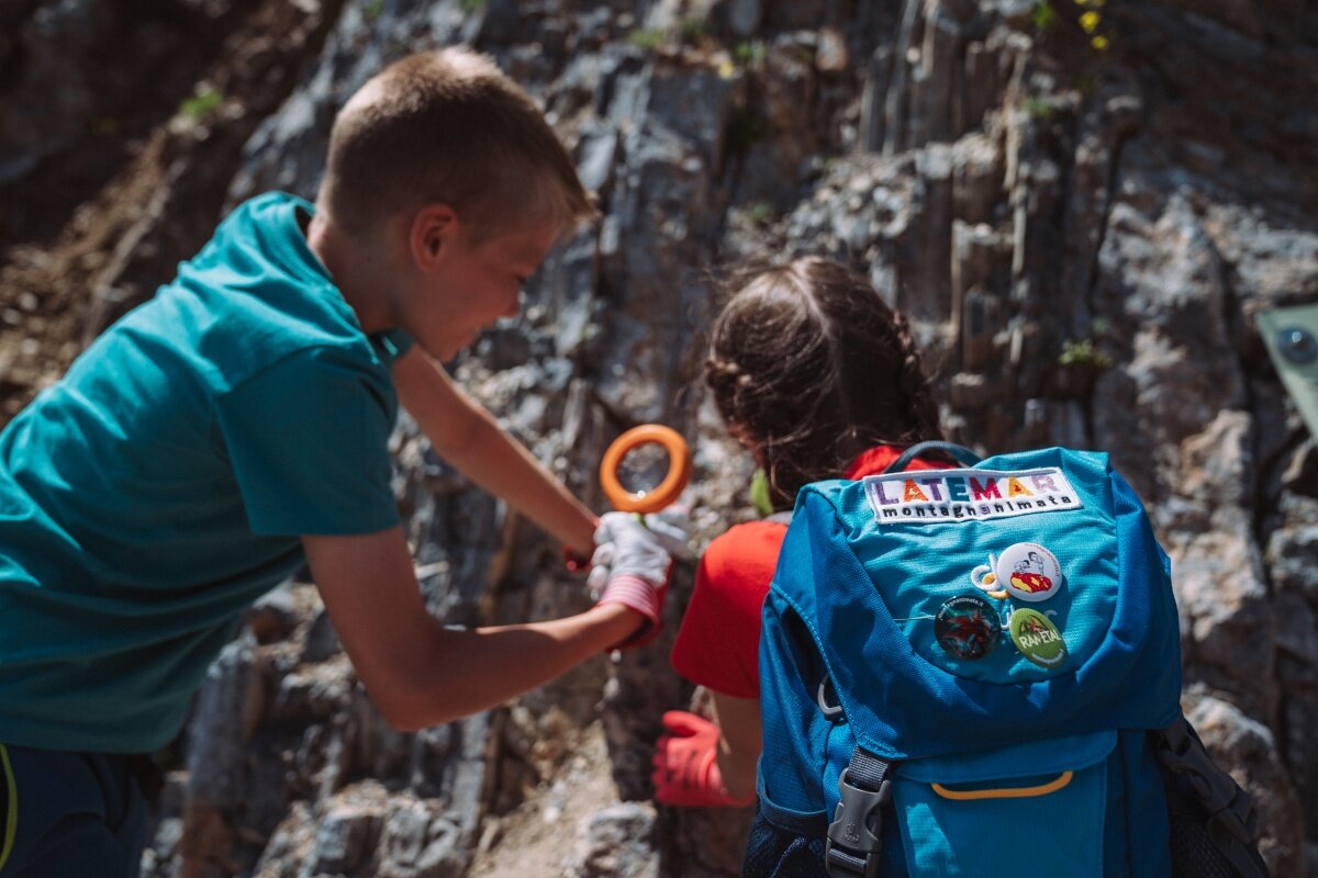
At the Info Point in Gardonè, you can ask for "Geotrail Dos Capèl. Easy to read", a guidebook in EtR (Easy to Read) language that facilitates reading, and a special geological kit (€ 6.00) containing a lens, a pair of glasses, gloves, and bags to collect small pieces of rock.
The walk is free. But if you want to understand the natural spectacle you are crossing and have fun with children, the EtR (Easy to Read) guidebook is a useful tool: with clear, readable, illustrated information to understand, memorize, and be able to share your discoveries!
Back in the valley, you can deepen your curiosity about fossils with the experts from the Geological Museum of the Dolomites in Predazzo.
Geotrail Dos Capèl – Dolomites, what a discovery! is a project curated by Muse - Science Museum of Trento, the Geological Museum of the Dolomites in Predazzo, and the Rovereto Civic Museum Foundation in collaboration with Irifor of Trentino, Albinova, and Anffass Trentino.