To the navigation Skip to main content To the footer
Top

Hike to Rifugio Potzmauer - from Ponciach

Faver, Grauno, Grumes, Valda
Difficulty
Intermediate
Duration
5:45
in hours
Distance
13.1
in km
Status
open
Categories
  • Mountain tour
Tags
  • Out and back
  • Refreshment stops available
Suggested period
Jan
Feb
Mar
Apr
May
Jun
Jul
Aug
Sep
Oct
Nov
Dec
From the hamlet of Ponciach to Rifugio Potzmauer: a pleasant and relaxing route on comfortable forest roads towards the refuge through the woods.

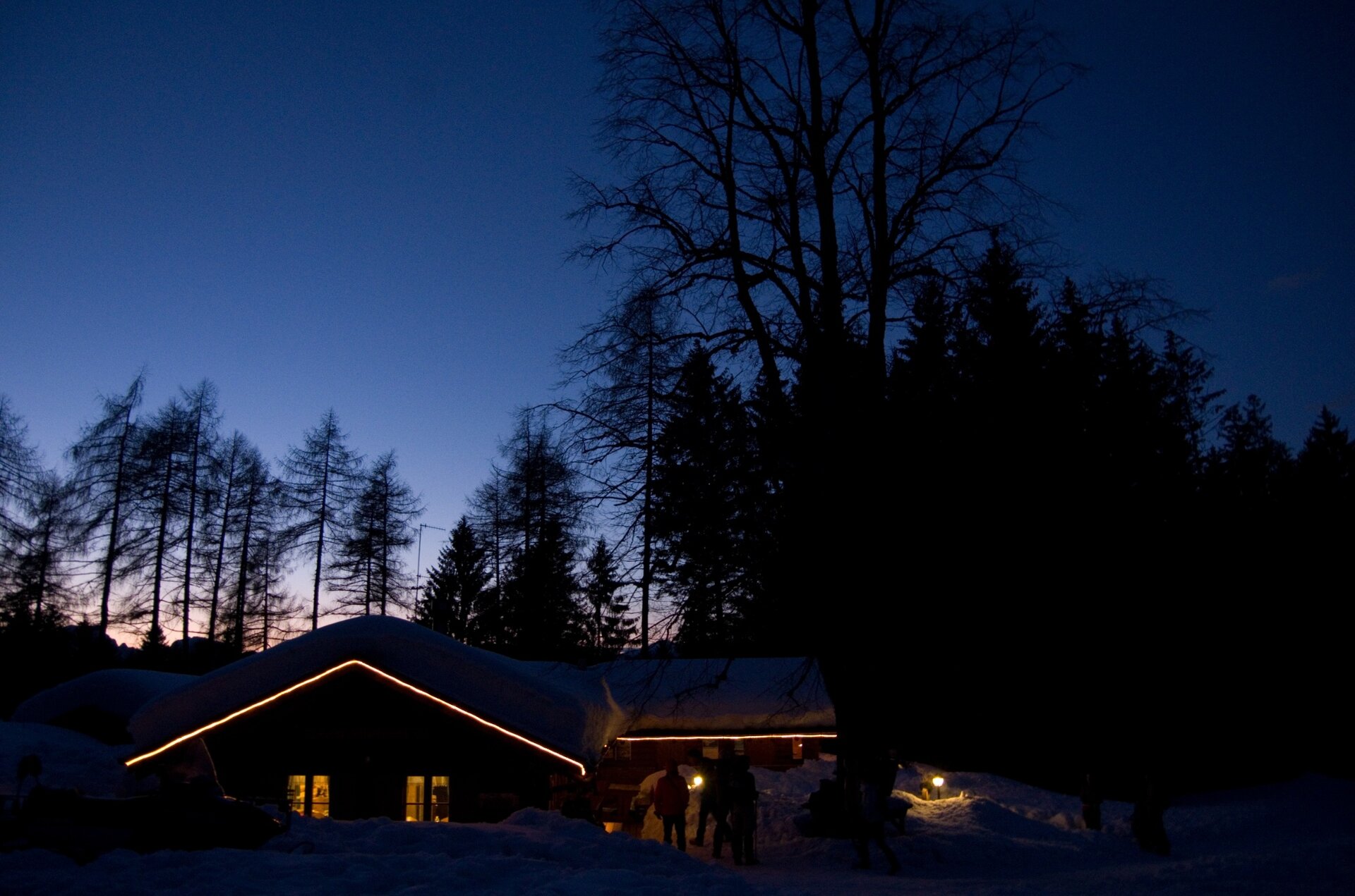
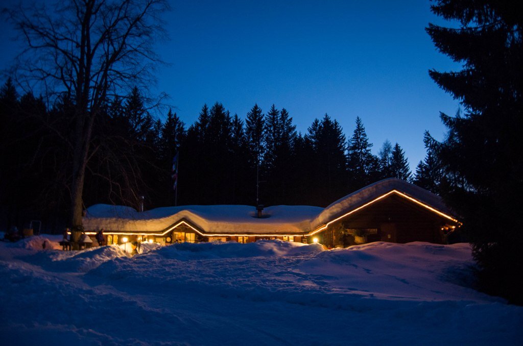
The itinerary takes us up to Rifugio Potzmauer, nestled in a basin of meadows surrounded by fir woods. The refuge was once an alpine hut then abandoned with the disappearance of livestock farming in the valley. It was purchased and renovated by the Municipality of Grumes (now Municipality of Atavalle).

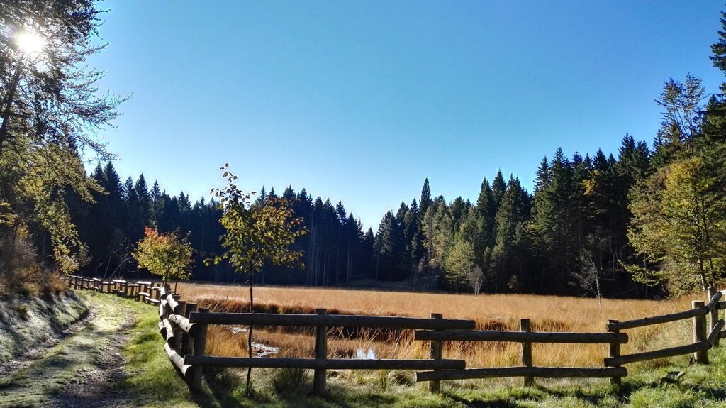
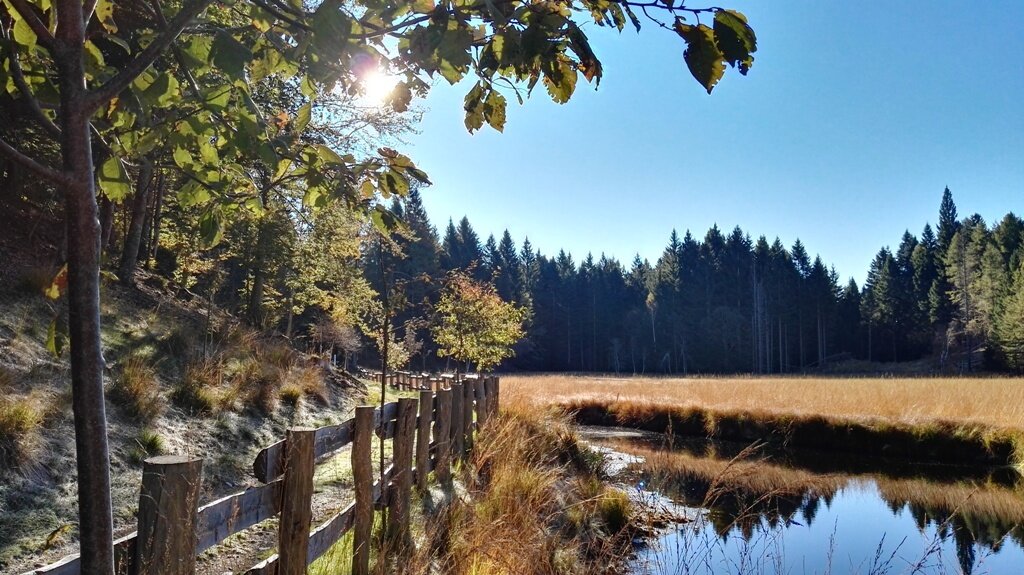
Along the route, a stop should be made at the Torbiera del Lago di Valda, an ancient lake naturally aged and become the habitat for rare plant and animal species.

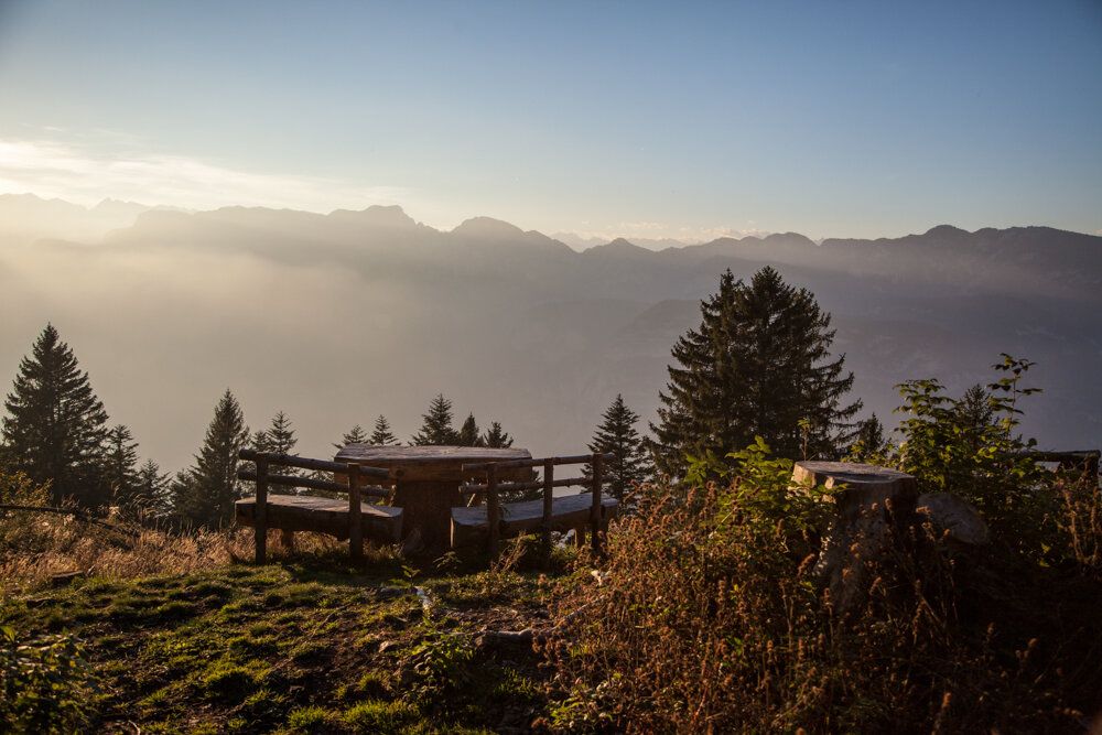
The return can be done on the same path or with a circular route on the opposite side of the mountain, running along the steep side overlooking the Adige Valley.
Gallery
Further information and useful links

Val di Cembra Avisio Reserve Network

www.reteriservevaldicembra.tn.it

Rifugio Potzmauer

www.facebook.com/RifugioPotzmauerGrumes

Visit Trentino

www.visittrentino.info

Meteotrentino

www.meteotrentino.it

Categories
  • Mountain tour
Tags
  • Out and back
  • Refreshment stops available
Route data
Intermediate
Distance
13,1 km
Duration
5 h 45 min
Ascent
540 m
Decent
540 m
Physical condition
Scenary
Highest point
1.417 m
Lowest point
1.011 m
Suggestions
Stopping to eat lunch or to try a slice of cake at the refuge and then relax on the lawn is almost mandatory.
You might be interested in
Discover related tours
Cows and Pale di San Martino | © D. Gardener, APT Fiemme Cembra
Intermediate
Predazzo
Juribrutto Lake
Distance 6,8 km
Duration 3 h 30 min
Ascent 470 m
Decent 470 m
The Moena Valley | © Staff Outdoor Val di Fiemme ND, APT Fiemme Cembra
Intermediate
Tesero, Cavalese
A view over the Moena Valley
Distance 6,2 km
Duration 3 h 00 min
Ascent 340 m
Decent 340 m
© Alessandro Cristofoletti, APT Trento
Intermediate
Faver, Grauno, Grumes, Valda, Cembra, Lisignago, Giovo
Trekking of the ancient lakes - Day 1
Distance 18,3 km
Duration 7 h 00 min
Ascent 1.141 m
Decent 397 m
Cauriol summit cross | © A. Campanile, APT Fiemme Cembra
Difficult
Ziano di Fiemme, Predazzo
Cima Cauriol: a symbol of the First World War
Distance 14,5 km
Duration 6 h 00 min
Ascent 990 m
Decent 990 m
Rifugio Lusia | © A. Campanile, APT Fiemme Cembra
Intermediate
Predazzo
Passo Lusia
Distance 9,3 km
Duration 3 h 30 min
Ascent 510 m
Decent 510 m
Brutto Lake | © A. Campanile, APT Fiemme Cembra
Difficult
Ziano di Fiemme, Predazzo
Translagorai - Stage 3
Distance 9,6 km
Duration 5 h 00 min
Ascent 1.300 m
Decent 520 m