To the navigation Skip to main content To the footer
Top

Lake Lases and the “buse del giaz”

Lona-Lases
Difficulty
Intermediate
Duration
2:00
in hours
Distance
4.9
in km
Status
open
Categories
  • Hiking trail
Tags
  • Scenic
  • Round trip
  • Family-friendly
Suggested period
Jan
Feb
Mar
Apr
May
Jun
Jul
Aug
Sep
Oct
Nov
Dec

An itinerary around Lake Lases as far as Val Fredda with its curious ‘ice holes’

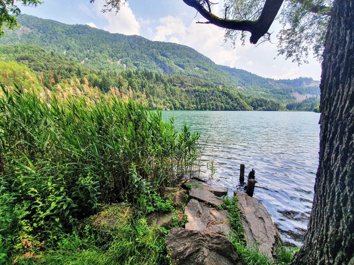
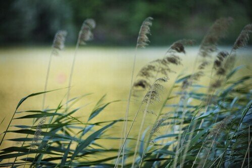
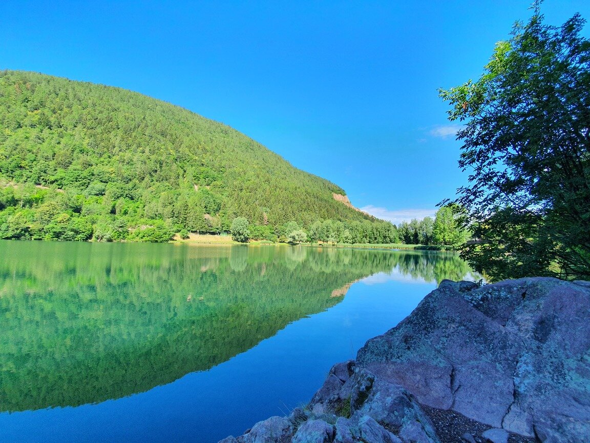
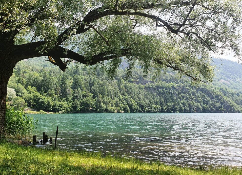
Lake Lases is a small Alpine lake formed by a moraine barrier, i.e. by rocky debris carried there by a glacier. It is an especially attractive lake and a protected provincial biotope set up in recognition of the unique habitat which has developed along its banks. A great many fauna species take shelter and breed in its dense reed beds. It is its crystal clear waters and beautiful colour which makes Lake Lases special. These are especially popular with fishermen because of their large stocks of Coregone (common whitefish), pike and perch.

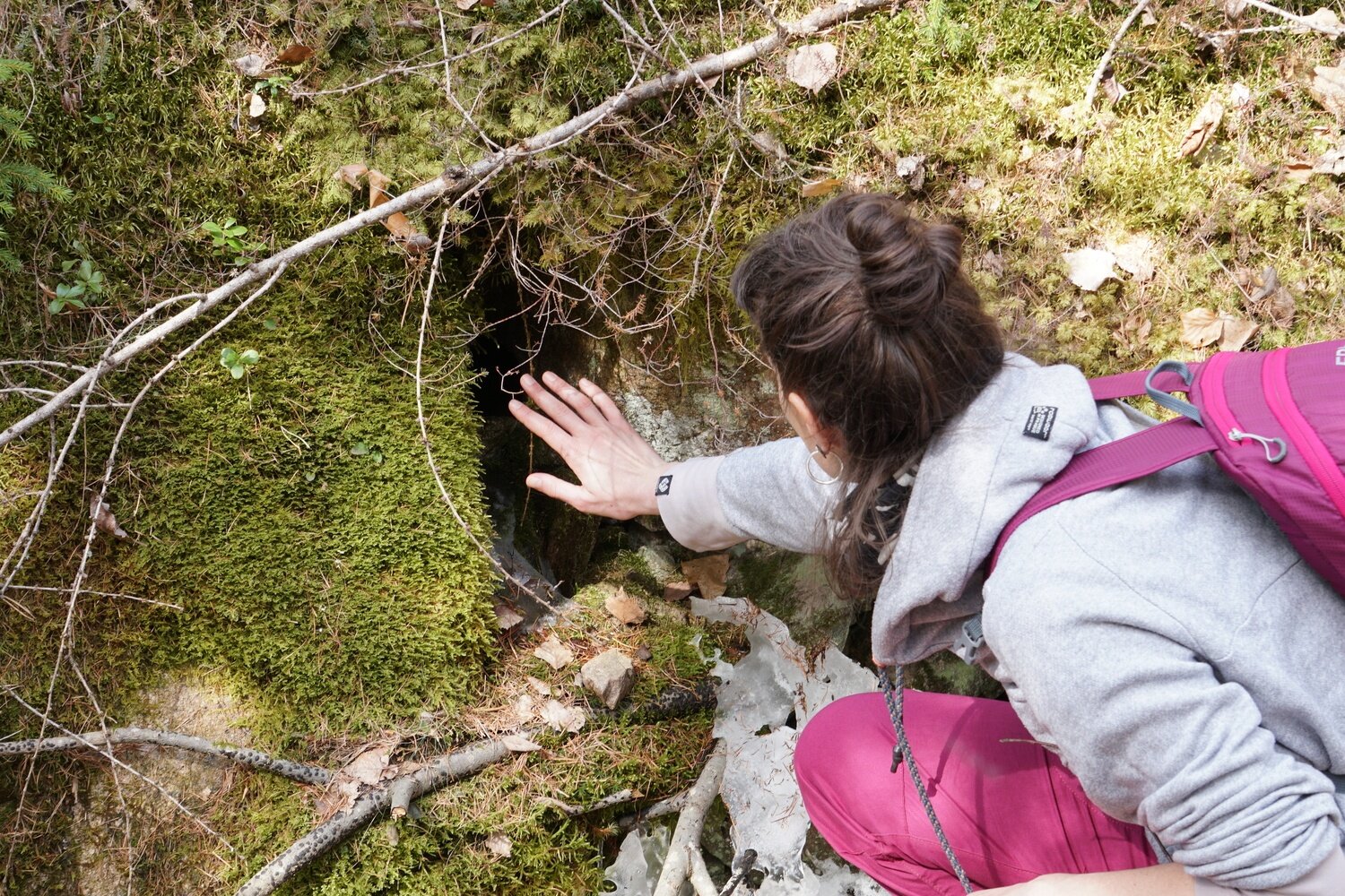
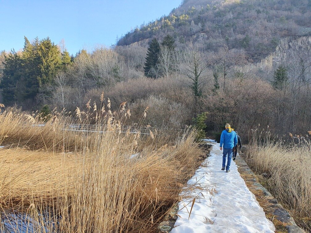
This itinerary does not simply circumnavigate the lake, however. It also takes you to an attractive and curious place, Val Fredda, a small valley which owes its name to the presence on the valley floor of a great many ‘ice holes’ which generate a cold microclimate, closely resembling that to be found high up in the mountains, even in mid-summer. This is caused by large amounts of air circulating within masses of natural rocky debris on the mountain slopes. This movement cools down the air which filters out at the bottom of holes of various sizes which sometimes have ice in them all year round. In fact, until just after World War Two period, the buse del giaz were used as natural fridges.
Gallery
Categories
  • Hiking trail
Tags
  • Scenic
  • Round trip
  • Family-friendly
Route data
Intermediate
Distance
4,9 km
Duration
2 h 00 min
Ascent
150 m
Decent
150 m
Physical condition
Scenary
Highest point
766 m
Lowest point
631 m
You might be interested in
Discover related tours
The writings of the shepherds | © N. Delvai, APT Fiemme Cembra
Easy
Tesero, Panchià
The shepherds’ writings - Tesero
Distance 4,0 km
Duration 1 h 25 min
Ascent 225 m
Decent 225 m
© Rete di Riserve Val di Cembra Avisio
Easy
Faver, Grauno, Grumes, Valda
Health herbs
Distance 2,1 km
Duration 1 h 00 min
Ascent 100 m
Decent 100 m
© F. Monegatti, APT Trento
Easy
Cembra, Lisignago
From Maderlina to Piz de le Agole
Distance 1,8 km
Duration 30 min
Ascent 38 m
Decent 38 m
The covered wooden bridge and the information board | © N. Delvai, APT Fiemme Cembra
Easy
Panchià, Ziano di Fiemme
Montagna Senza Limiti - Old Bridge: a suspended story
Distance 5,8 km
Duration 1 h 30 min
Ascent 34 m
Decent 34 m
Walk in Canvere | © G. Panozzo, APT Fiemme Cembra
Intermediate
Predazzo
The huts of Canvere from Castelir
Distance 7,0 km
Duration 2 h 30 min
Ascent 424 m
Decent 424 m
Easy
Tesero, Predazzo
Geotrail Dos Capèl – Dolomites, what a discovery!
Distance 5,4 km
Duration 2 h 00 min
Ascent 262 m
Decent 262 m