To the navigation Skip to main content To the footer
Top

Fra vigne, boschi e sapori della Valle di Cembra

Giovo
Trudność
średni
Czas przejścia
4:00
w godzinach
Dystans
12.8
in km
Categories
  • Szlaki piesze
Tags
  • Etapy trasy
  • Piękne widoki
  • Sekretna wskazówka
  • Dostosowany dla wózków dziecięcych
  • Trasa okrężna
  • Bufet
  • Odpowiednie dla rodzin z dziećmi
Sugerowany okres
St.
It.
Mrz.
Kw.
Maj
Czerw.
Lip.
Sierp.
Wrz.
Paźd.
List.
Grudz.

9 km food and wine itinerary, on easy walking roads, to discover the flavors and the territory of Giovo in the Cembra Valley.

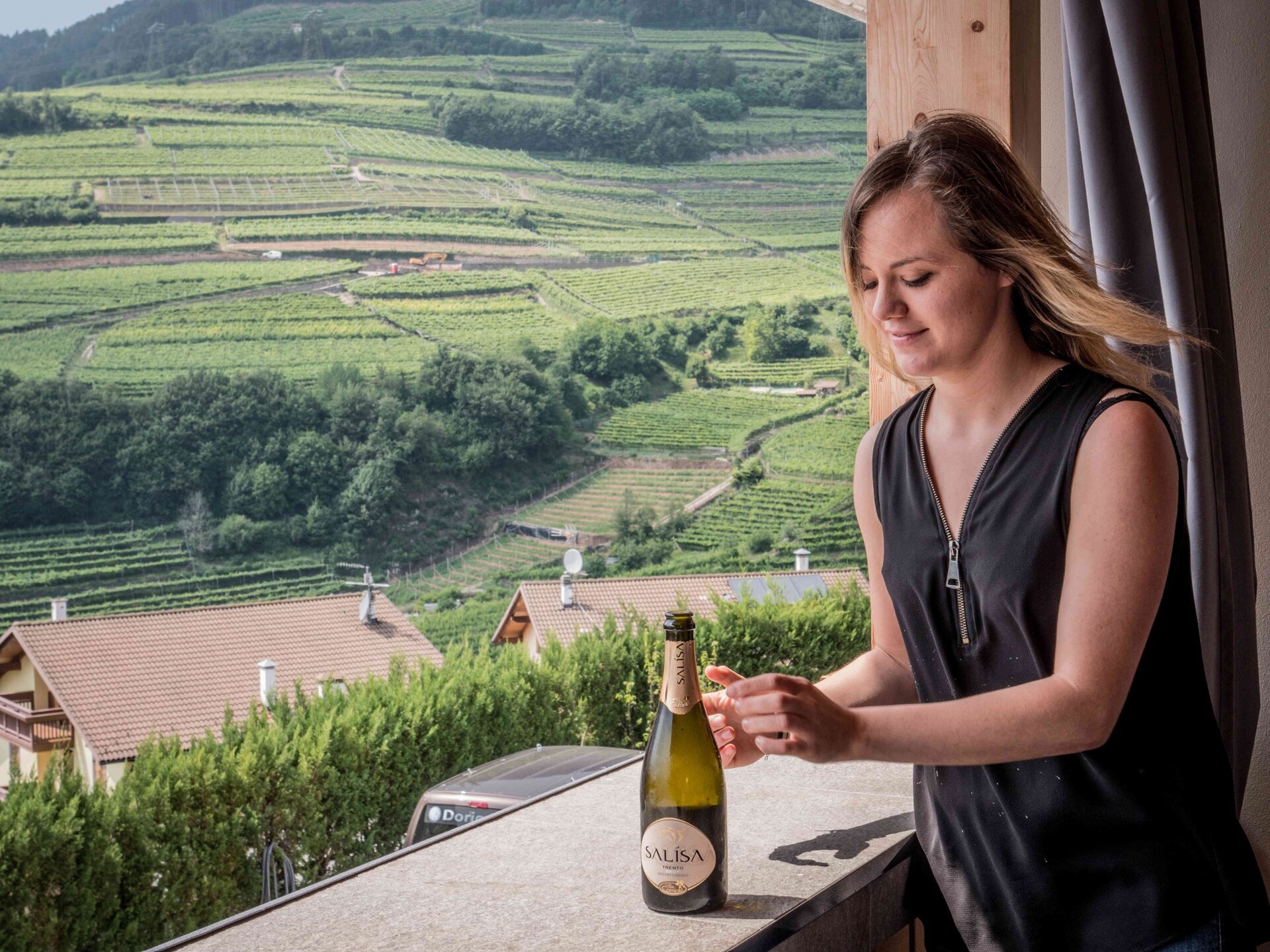
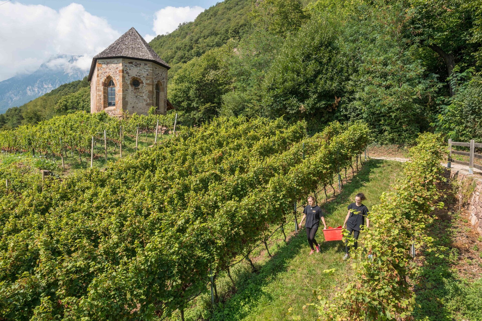
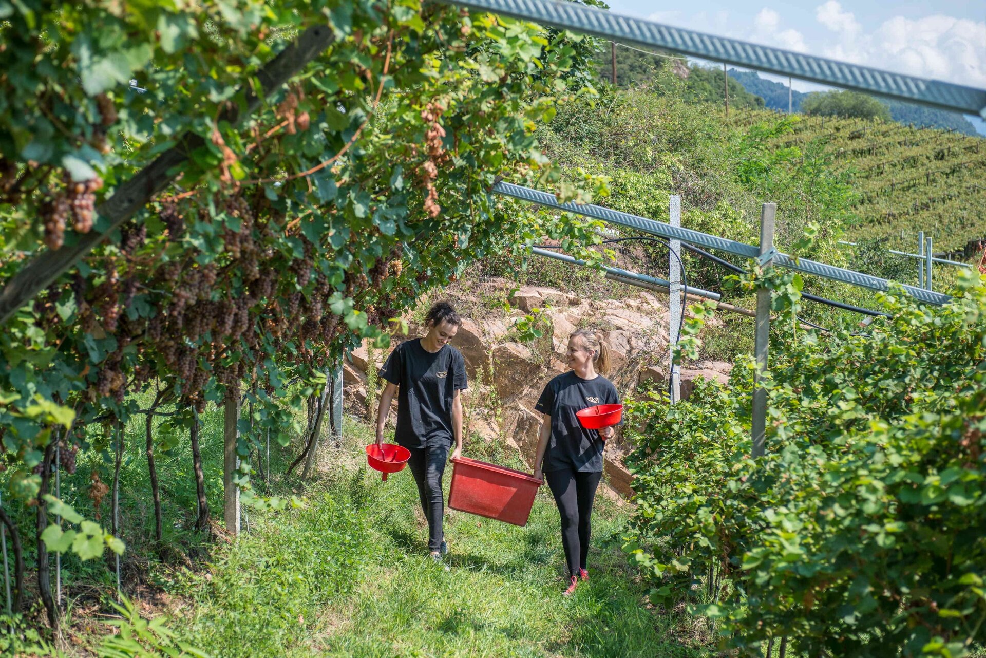
It is a pleasant walk to get to know local producers and restaurants with local cuisine, admiring a variety of views: from terraced vineyards resulting from 'heroic' cultivation and recently named 'Historic Rural Landscape of Italy', to lush forests and enchanting green meadows.
Gallery
Dalsze informacje i przydatne linki

Ufficio Turistico Cembra - Tel. +39 0461 683110 - info@visitvaldicembra.it – www.visitvaldicembra.it  

Along the way are to be found the following producers and restaurants:

  • Agritur Simoni, Palù di Giovo
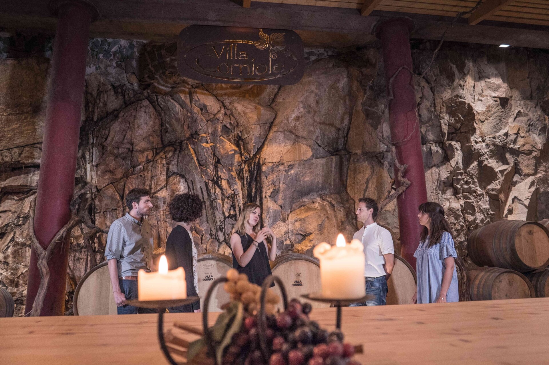
  • Villa Corniole Winery, Verla di Giovo
  • Fior di Bosco restaurant, Masen di Giovo

In the direct vicinity we point out:

  • Agritur Maso Pomarolli, Palù di Giovo
  • Devigili Winery, Giovo
Categories
  • Szlaki piesze
Tags
  • Etapy trasy
  • Piękne widoki
  • Sekretna wskazówka
  • Dostosowany dla wózków dziecięcych
  • Trasa okrężna
  • Bufet
  • Odpowiednie dla rodzin z dziećmi
Dane trasy
średni
Dystans
12,8 km
Czas przejścia
4 h 00 min
Pod górę
482 m
Przyzwoity
482 m
Stan fizyczny
Scenariusz
Najwyższy punkt
811 m
Najniższy punkt
490 m
Wskazówka autora

We advise you to check opening hours of the agriturismus and restaurants and to make a reservation.

Among the points of historical interest we mention the church of San Floriano in Valternigo, which can be reached with a short detour and, in loc. Ville, the remaining tower of the ancient Castello della Rosa.

You might be interested in
Odkryj powiązane wycieczki
© Responsabile Ufficio Altopiano di Piné SS, APT Trento
łatwy
Faver, Grauno, Grumes, Valda
Al Rifugio Potzmauer
Dystans 4,8 km
Czas przejścia 1 h 30 min
Pod górę 300 m
Przyzwoity 300 m
© Elisa Travaglia, Rete di Riserve Val di Cembra Avisio
średni
Lona-Lases
Il Lago di Lases e le buse del giaz
Dystans 4,9 km
Czas przejścia 2 h 00 min
Pod górę 150 m
Przyzwoity 150 m
Status
otwarte
© Staff Outdoor Val di Fiemme, APT Fiemme Cembra
łatwy
Capriana
Le vecchie baite nei dintorni di Capriana
Dystans 10,2 km
Czas przejścia 3 h 00 min
Pod górę 332 m
Przyzwoity 332 m
© A. Zorzi, APT Fiemme Cembra
łatwy
Ziano di Fiemme
Le Cascatelle di Ziano di Fiemme
Dystans 2,2 km
Czas przejścia 1 h 00 min
Pod górę 100 m
Przyzwoity 100 m
© Elisa Travaglia, Rete di Riserve Val di Cembra Avisio
średni
Sover
Il Sentiero dei vecchi mestieri - da Sover
Dystans 8,5 km
Czas przejścia 3 h 30 min
Pod górę 450 m
Przyzwoity 450 m
© Sara Zucal, Rete di Riserve Val di Cembra Avisio
Trudny
Cembra, Lisignago, Giovo
Lavis - Lisignago, Cammino delle Terre Sospese
Dystans 12,6 km
Czas przejścia 4 h 45 min
Pod górę 742 m
Przyzwoity 392 m