
To the navigation Skip to main content To the footer
Top

Grumes - Lona, Cammino delle Terre Sospes

Lona-Lases, Segonzano, Faver, Grauno, Grumes, Valda
Trudność
Trudne
Czas przejścia
6:10
w godzinach
Dystans
19.2
in km
Categories
  • Szlaki piesze
Tags
  • Od punktu do punktu
  • Etapy trasy
  • Piękne widoki
The fifth stage of a long-distance route (6 recommended stages) to discover the Valle di Cembra at a relaxed pace

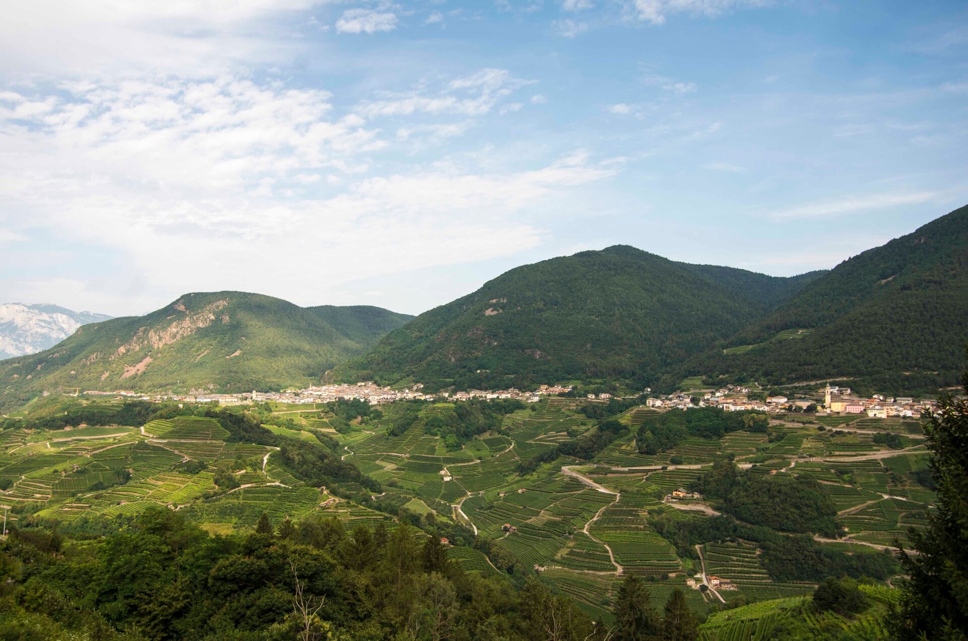
The Cammino delle Terre Sospese is a 90 km route that connects villages, hamlets, and farmsteads of Val di Cembra that seem suspended in time, to experience the genuine identity of this valley away from tourist circuits. Following this path, you will cross the valley, moving from the right bank to the left bank, crossing the Avisio stream several times, the undisputed protagonist of this fascinating route. You will discover a richness and diversity of natural and cultural landscapes that will surprise you: neighborhoods, faces and ancient fountains in small villages, terraced vineyards supported by daring dry stone walls, medieval chapels, castles and historic connecting roads, small farmsteads and ancient rural houses, mills, forges, sawmills… and then streams and silent woods. The Cammino delle Terre Sospese is not just a physical route, but an important community project, promoted by a spontaneous group of volunteers who founded the association Destinazione Val di Cembra ETS, to encourage people to meet and discuss a more sustainable development of their territory, strengthening the spirit of an active and welcoming community. For this reason, we wish you a route full of encounters and relationships.

Before leaving, consult the Camino website, download the track, prepare your backpack with water and the necessary items for the daily stages. In case of emergency, remember the number to call immediately is 112.
Gallery
Categories
  • Szlaki piesze
Tags
  • Od punktu do punktu
  • Etapy trasy
  • Piękne widoki
Dane trasy
Trudne
Dystans
19,2 km
Czas przejścia
6 h 10 min
Pod górę
642 m
Przyzwoity
817 m
Stan fizyczny
Scenariusz
Najwyższy punkt
1.107 m
Najniższy punkt
479 m
You might be interested in
Odkryj powiązane wycieczki
© N. Delvai, APT Fiemme Cembra
łatwy
Valfloriana
Passeggiata semplice a Dorà
Dystans 1,8 km
Czas przejścia 30 min
Pod górę 62 m
Przyzwoity 62 m
© Sara Zucal, Rete di Riserve Val di Cembra Avisio
Segonzano, Faver, Grauno, Grumes, Valda, Lona-Lases, Cembra, Lisignago
Val di Cembra coast to coast
Dystans 13,1 km
Czas przejścia 4 h 30 min
Pod górę 750 m
Przyzwoity 750 m
© Sara Zucal, Rete di Riserve Val di Cembra Avisio
łatwy
Valfloriana
I Pradi da le Fior
Dystans 3,1 km
Czas przejścia 55 min
Pod górę 103 m
Przyzwoity 103 m
© Elisa Travaglia, Rete di Riserve Val di Cembra Avisio
Segonzano, Faver, Grauno, Grumes, Valda
I masetti di Ischia e le gole del selvaggio Avisio
Dystans 3,5 km
Czas przejścia 2 h 30 min
Pod górę 300 m
Przyzwoity 300 m
średni
Lona-Lases
La pietra del futuro - Percorso con audioguida dei ragazzi della scuola elementare di Lona Lases
Dystans 2,7 km
Czas przejścia 50 min
Pod górę 61 m
Przyzwoity 63 m
© N. Delvai, APT Fiemme Cembra
średni
Cavalese
Montagna Senza Limiti - Cascata di Cavalese: dove la natura si fa melodia
Dystans 9,9 km
Czas przejścia 3 h 00 min
Pod górę 276 m
Przyzwoity 276 m