To the navigation Skip to main content To the footer
Top

Laghi di Colbricon

Predazzo
Trudność
łatwy
Czas przejścia
1:15
w godzinach
Dystans
4.4
in km
Categories
  • Szlaki piesze
Tags
  • Piękne widoki
  • Sekretna wskazówka
  • Szlak długodystansowy
  • Bufet
  • Odpowiednie dla rodzin z dziećmi
  • Kultura / Historia
Sugerowany okres
St.
It.
Mrz.
Kw.
Maj
Czerw.
Lip.
Sierp.
Wrz.
Paźd.
List.
Grudz.

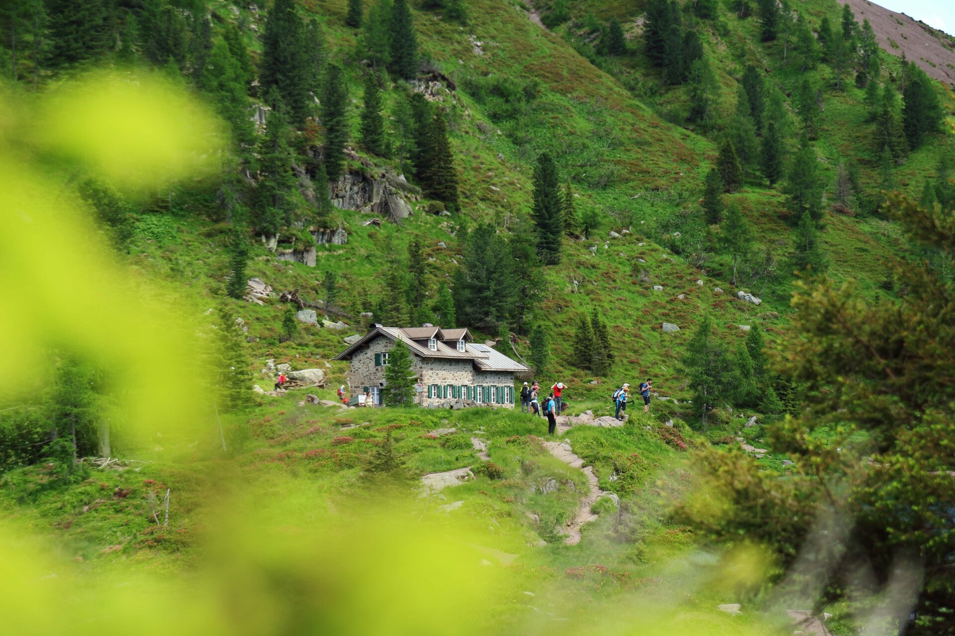
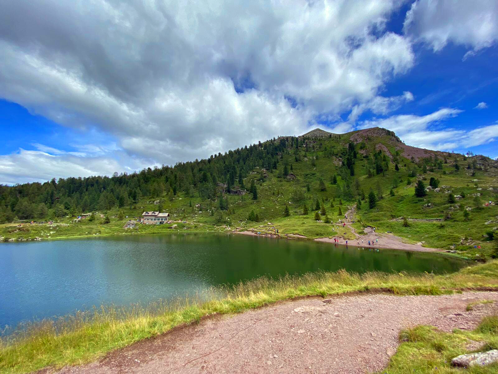
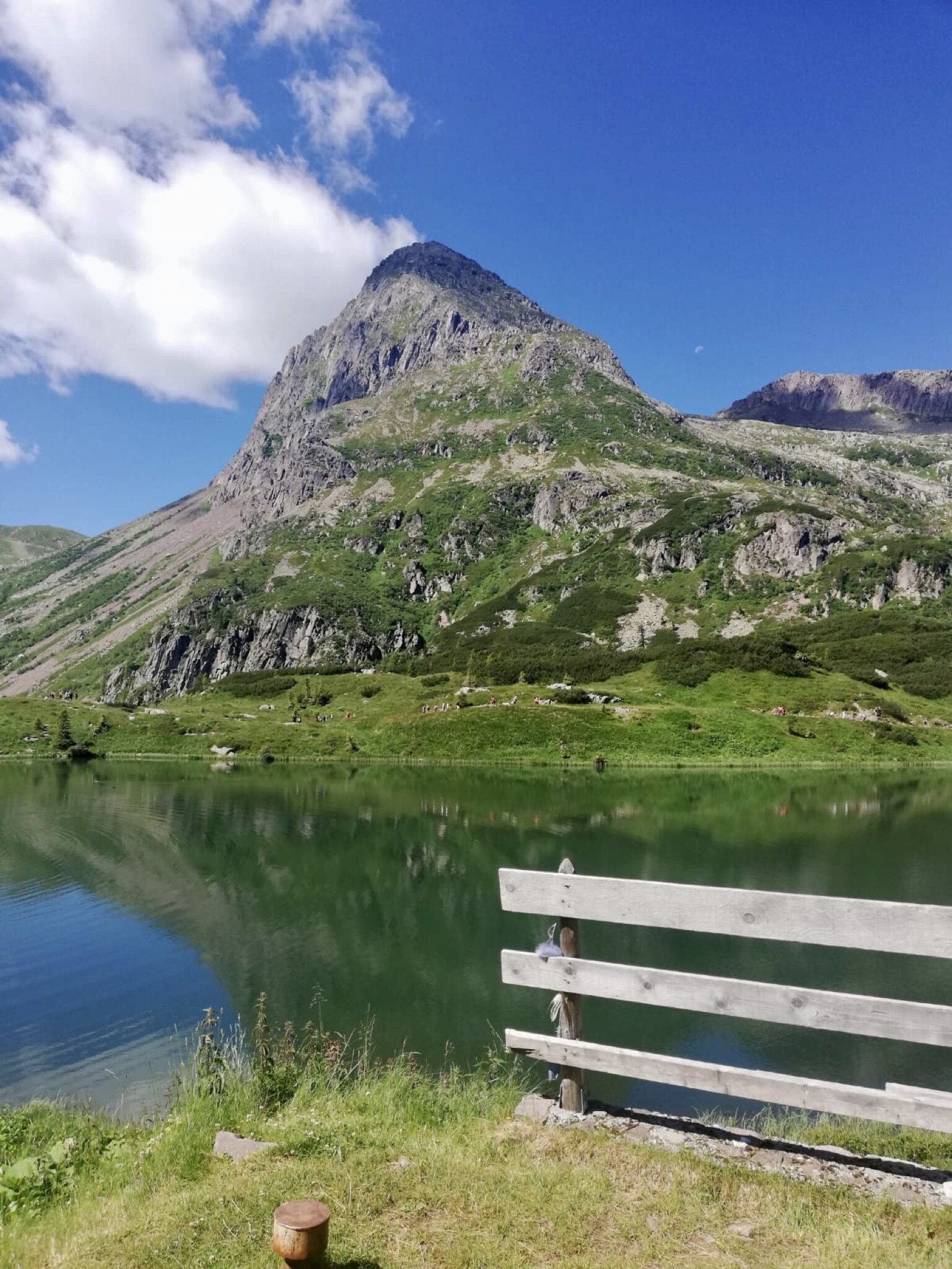
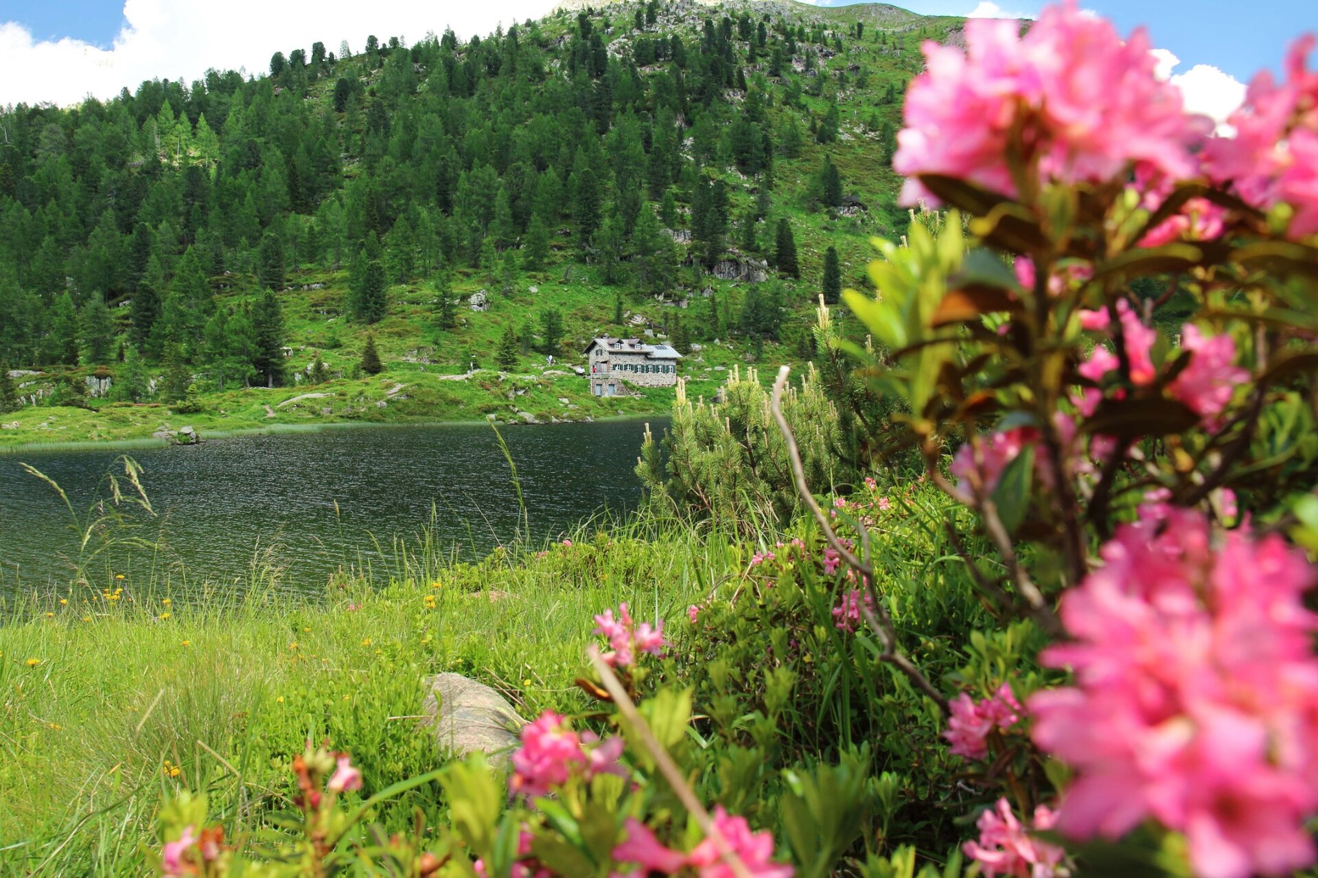
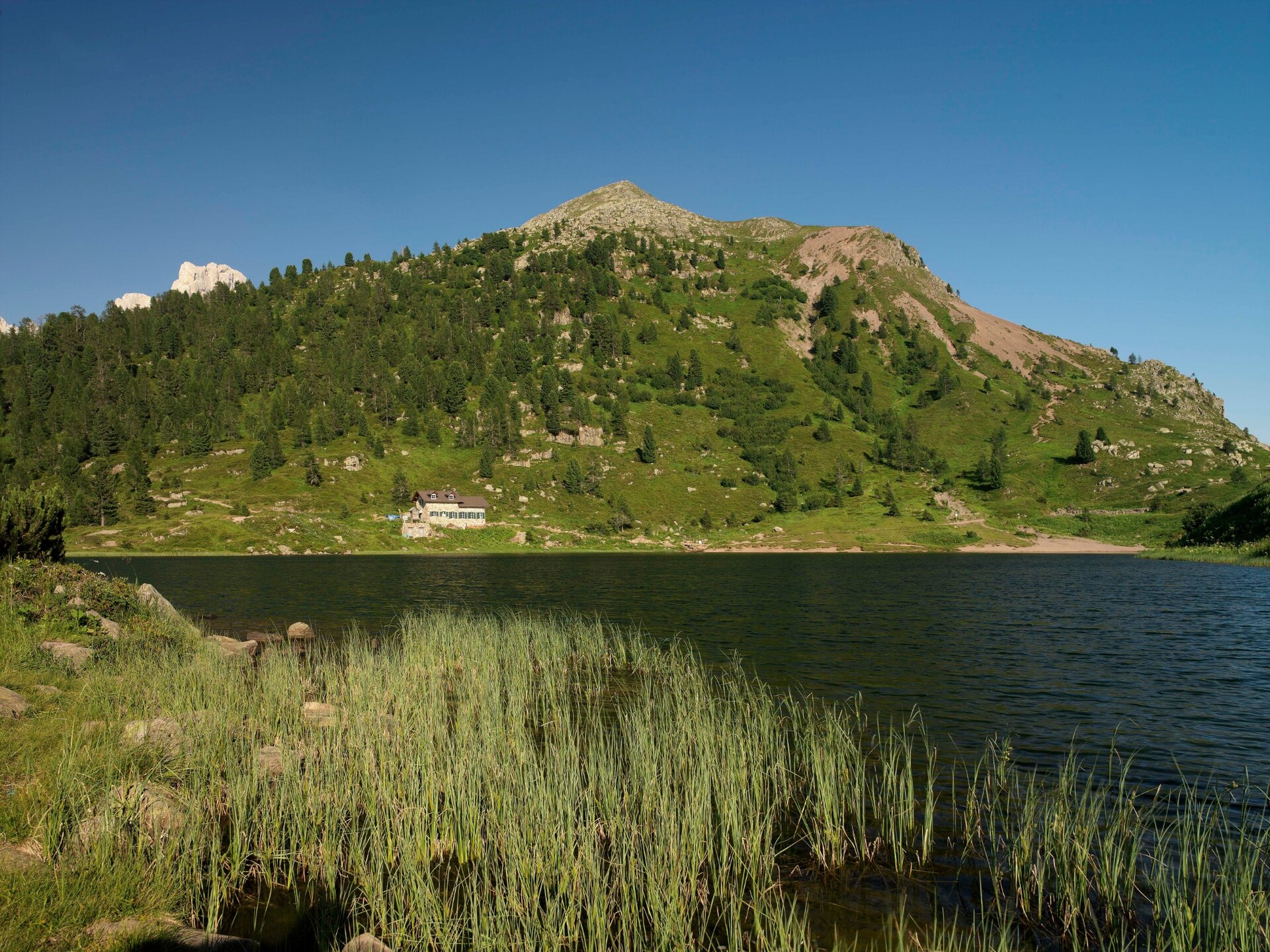
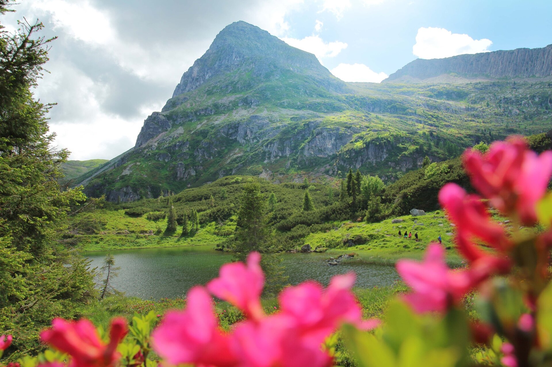
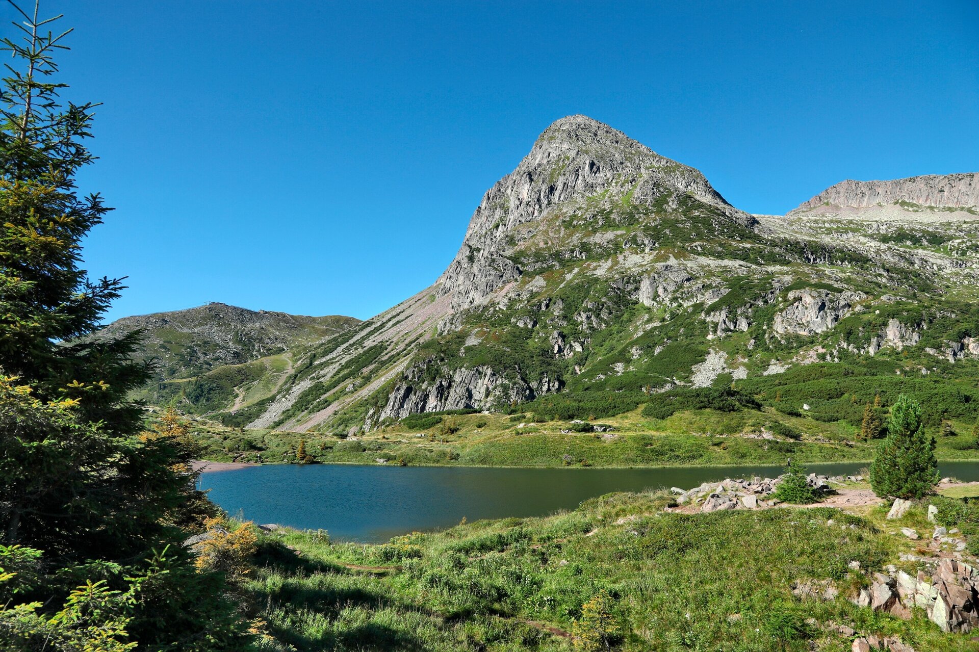
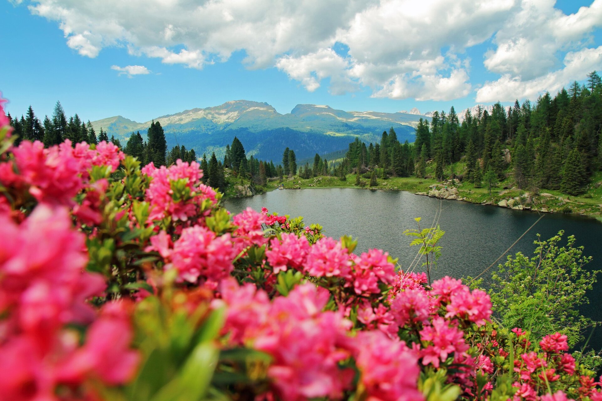
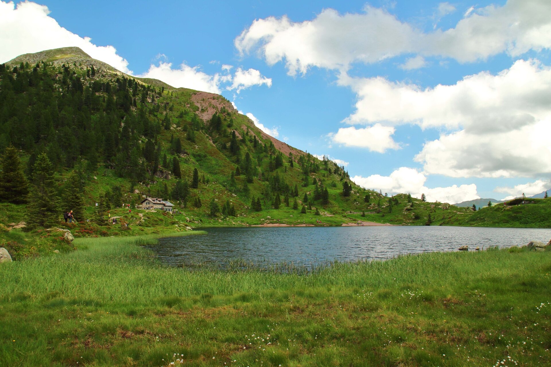
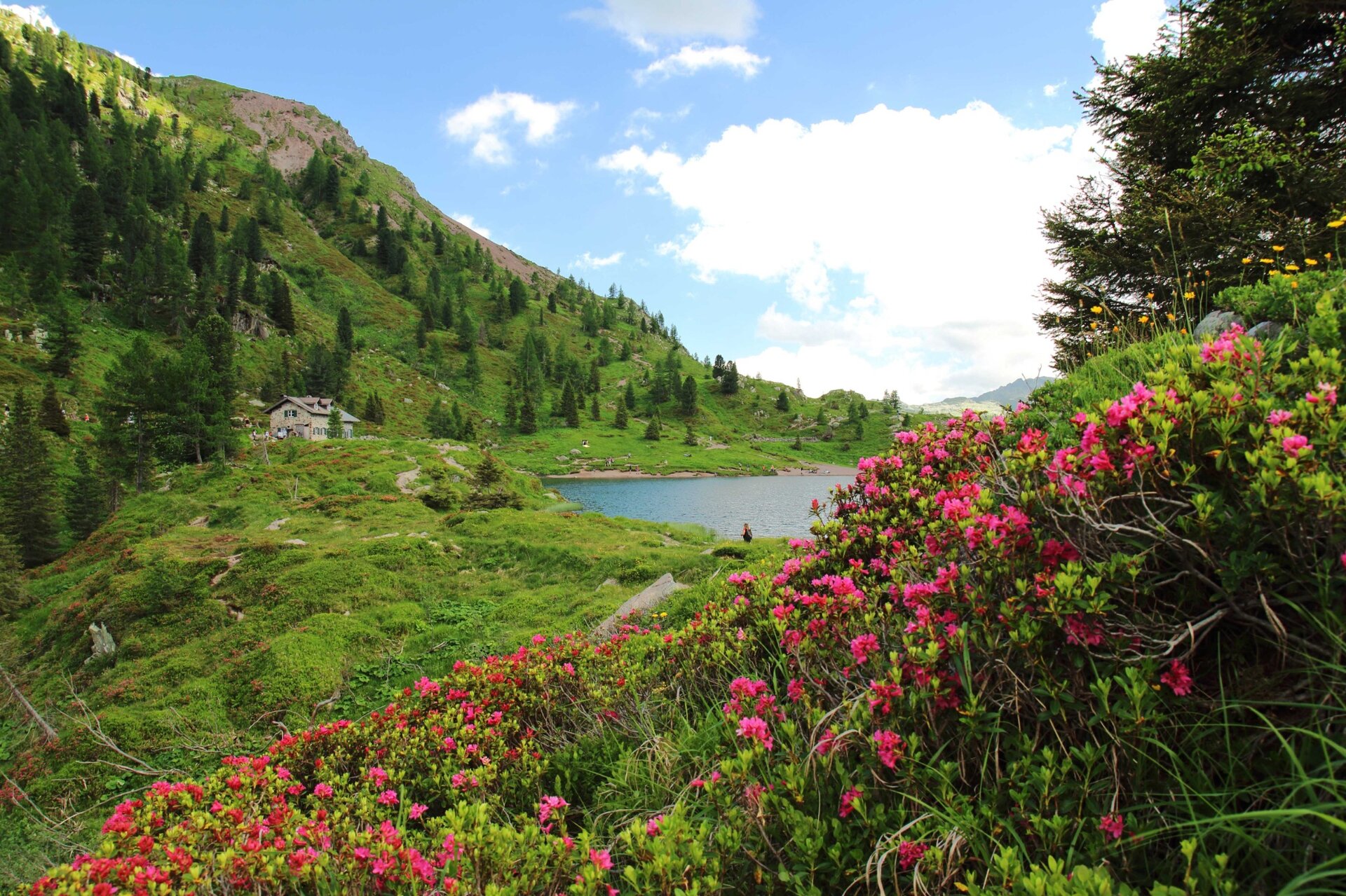
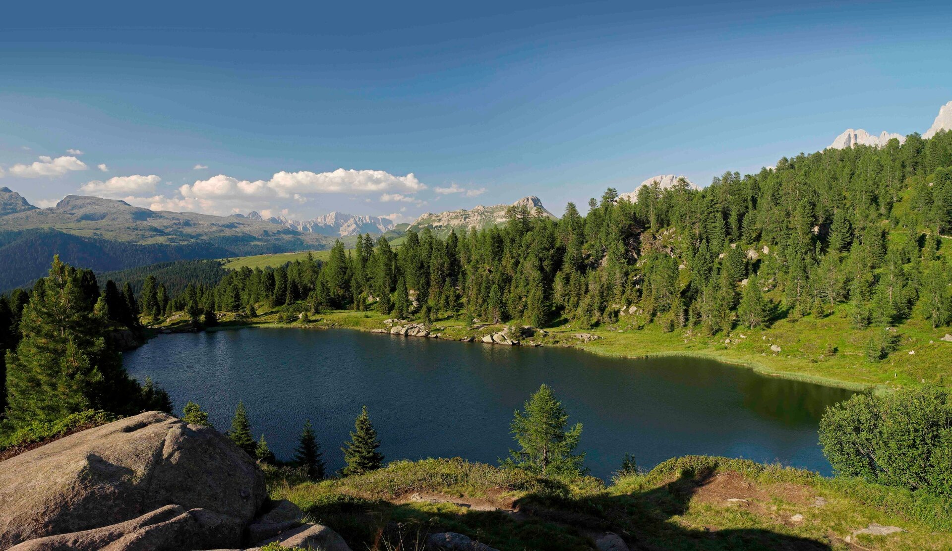
Two small lakes set in the greenery. The views of the Cimon de la Pala and the large Paneveggio forest are extraordinary.

The comfortable walk on a flat path, although with some stones and roots, leads to two splendid mountain lakes, famous not only for their undeniable beauty, but also for having been the scene in the 70s of archaeological finds dating back to the Mesolithic era (10,000 - 8,000 years ago).

In less than an hour you arrive at the Colbricon hut, located right between the two lakes, at the foot of the Colbricon pyramid (2,062 m), which is the beginning of the long chain of porphyritic peaks of the Lagorai, from the Rolle Pass to the Altopiano (plateau) di Pinè.
Gallery
Dalsze informacje i przydatne linki

APT Val di Fiemme - Tel. +39 0462 241111 - info@visitfiemme.it - www.visitfiemme.it 

www.parcopan.org  

Categories
  • Szlaki piesze
Tags
  • Piękne widoki
  • Sekretna wskazówka
  • Szlak długodystansowy
  • Bufet
  • Odpowiednie dla rodzin z dziećmi
  • Kultura / Historia
Dane trasy
łatwy
Dystans
4,4 km
Czas przejścia
1 h 15 min
Pod górę
100 m
Przyzwoity
100 m
Stan fizyczny
Scenariusz
Najwyższy punkt
1.954 m
Najniższy punkt
1.874 m
Wskazówka autora

Do you want to go on a multi-day trek? This is the starting point of the legendary Translagorai, an itinerary in stages that crosses the Lagorai chain, from Passo Rolle to Passo Manghen.

You might be interested in
Odkryj powiązane wycieczki
© Sara Zucal, Rete di Riserve Val di Cembra Avisio
Lona-Lases
Giro del Monte Gorsa
Dystans 11,6 km
Czas przejścia 4 h 00 min
Pod górę 500 m
Przyzwoity 500 m
© Nieznany
łatwy
Segonzano
Il paese dei “Beghei”
Dystans 4,0 km
Czas przejścia 2 h 00 min
Pod górę 200 m
Przyzwoity 200 m
© Sara Zucal, Rete di Riserve Val di Cembra Avisio
średni
Giovo
Il Sentiero Naturalistico Mancabrot Lac de Montesel
Dystans 4,1 km
Czas przejścia 1 h 25 min
Pod górę 167 m
Przyzwoity 166 m
© N. Delvai, APT Fiemme Cembra
łatwy
Valfloriana
Il boschetto di Dorà
Dystans 1,0 km
Czas przejścia 40 min
Pod górę 65 m
Przyzwoity 62 m
© Elisa Travaglia, Rete di Riserve Val di Cembra Avisio
średni
Lona-Lases
Il Lago di Lases e le buse del giaz
Dystans 4,9 km
Czas przejścia 2 h 00 min
Pod górę 150 m
Przyzwoity 150 m
Status
otwarte
© Sara Zucal, Rete di Riserve Val di Cembra Avisio
Segonzano, Faver, Grauno, Grumes, Valda, Cembra, Lisignago
Paesaggi di vite
Dystans 6,9 km
Czas przejścia 3 h 30 min
Pod górę 300 m
Przyzwoity 300 m