Punkt początkowy
Masi di Cavalese - sports field
Wskazówki dojazdu
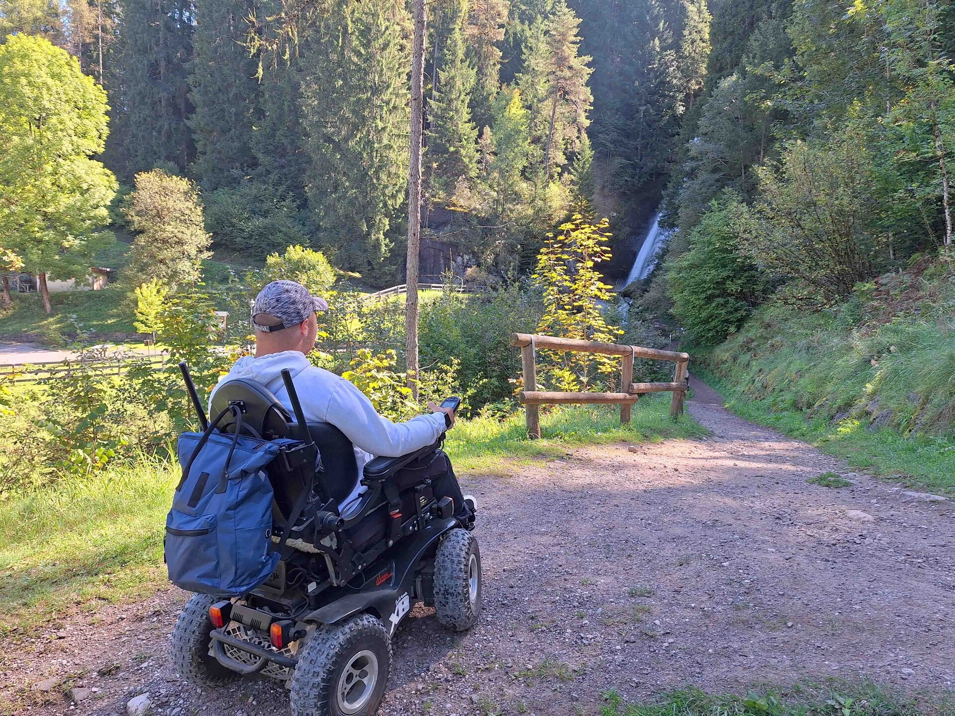
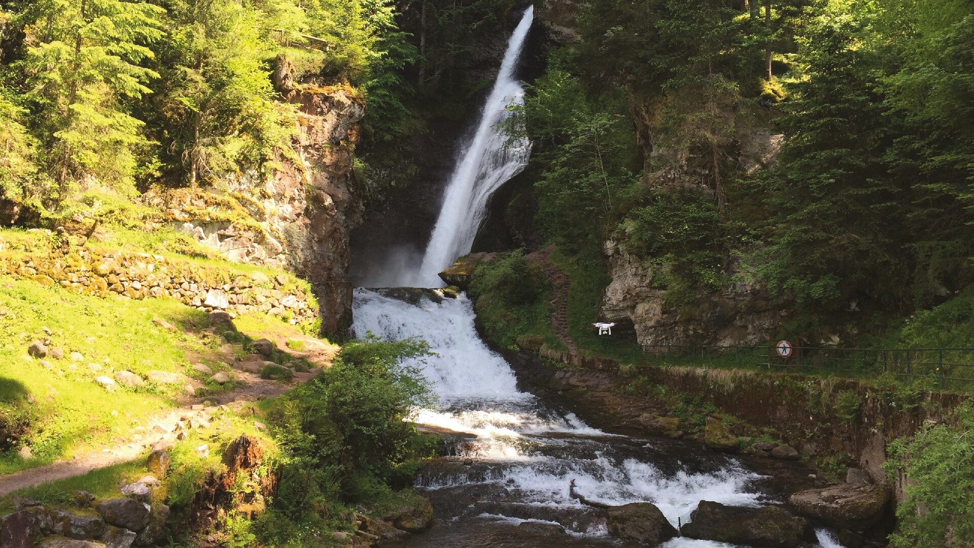
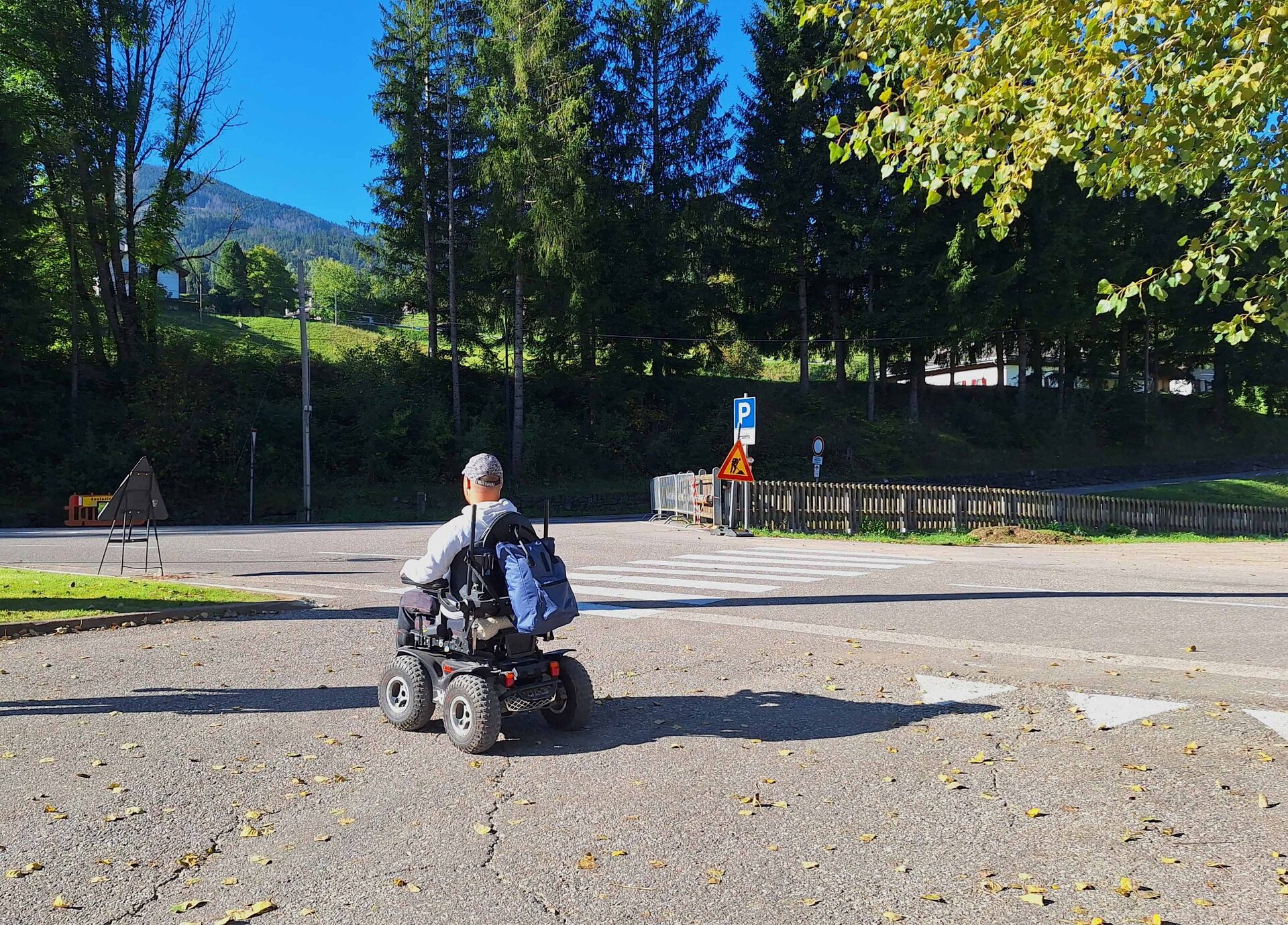
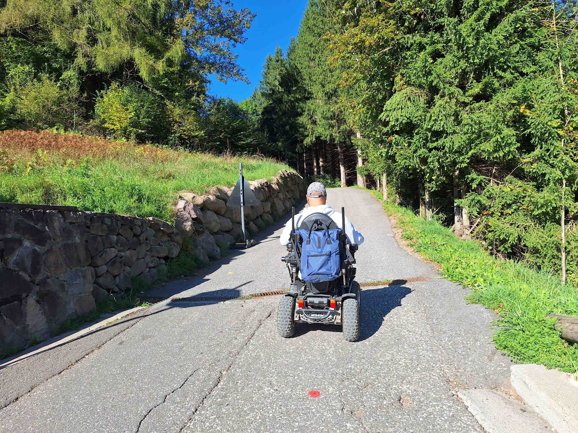
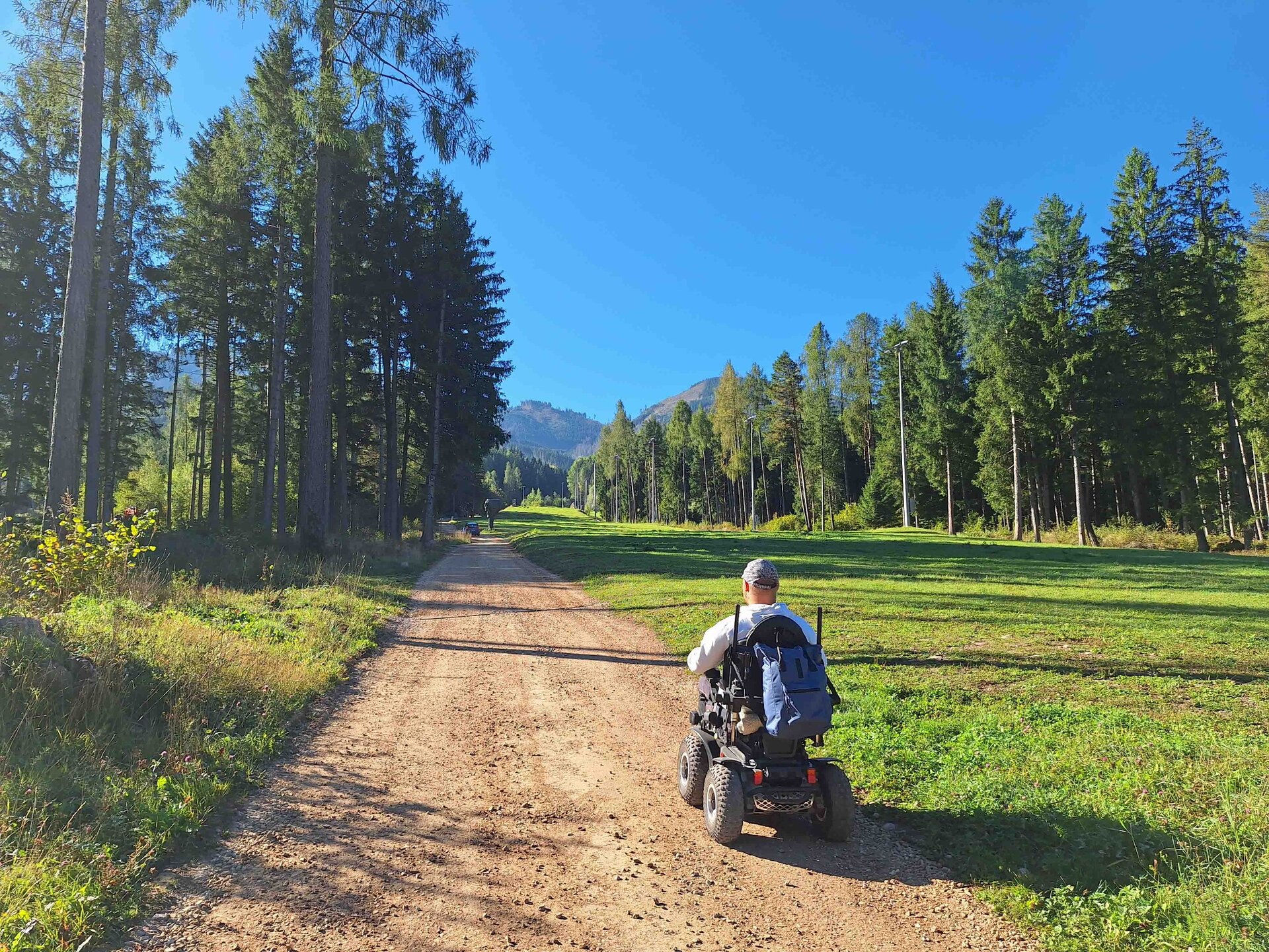
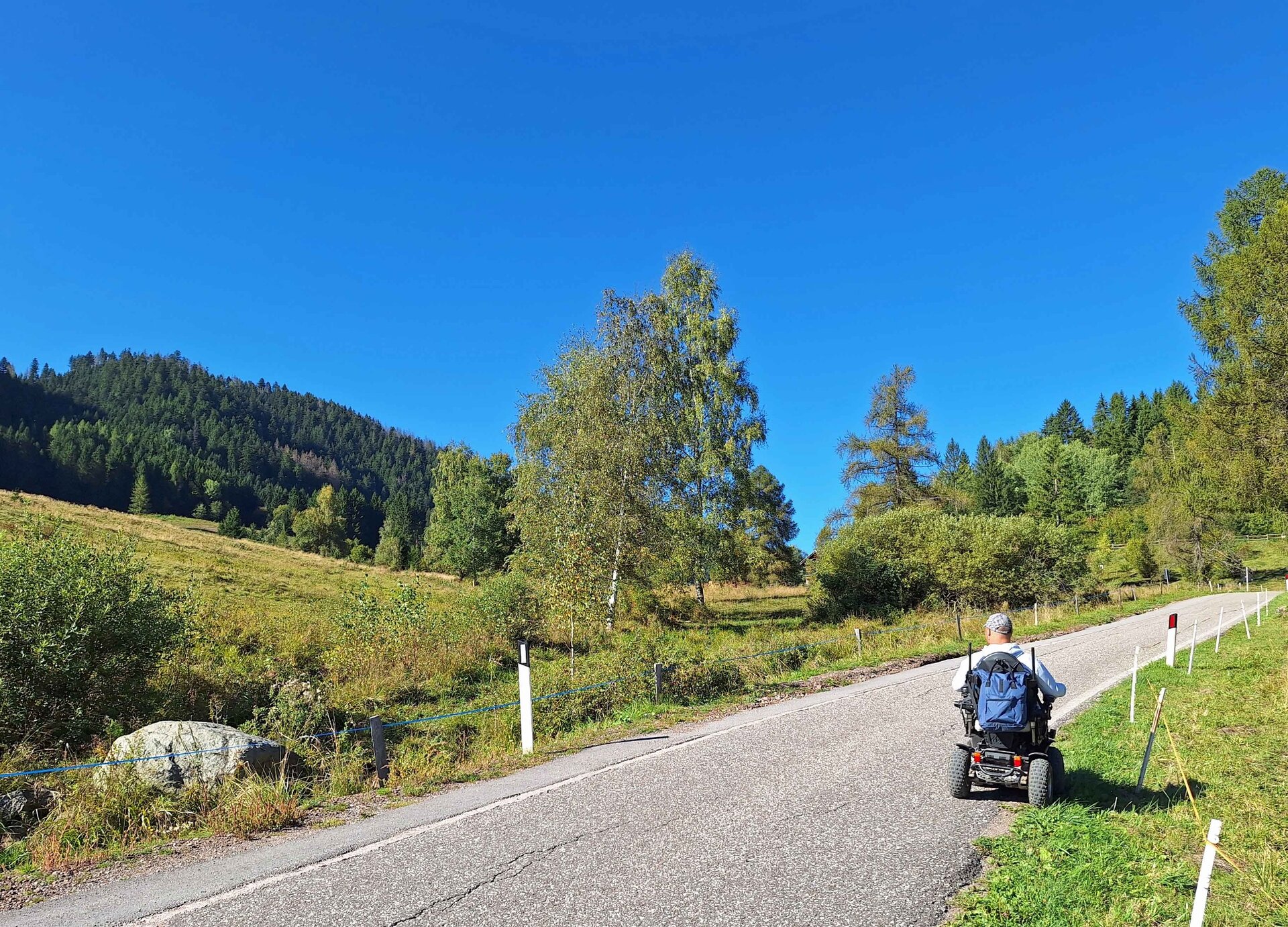
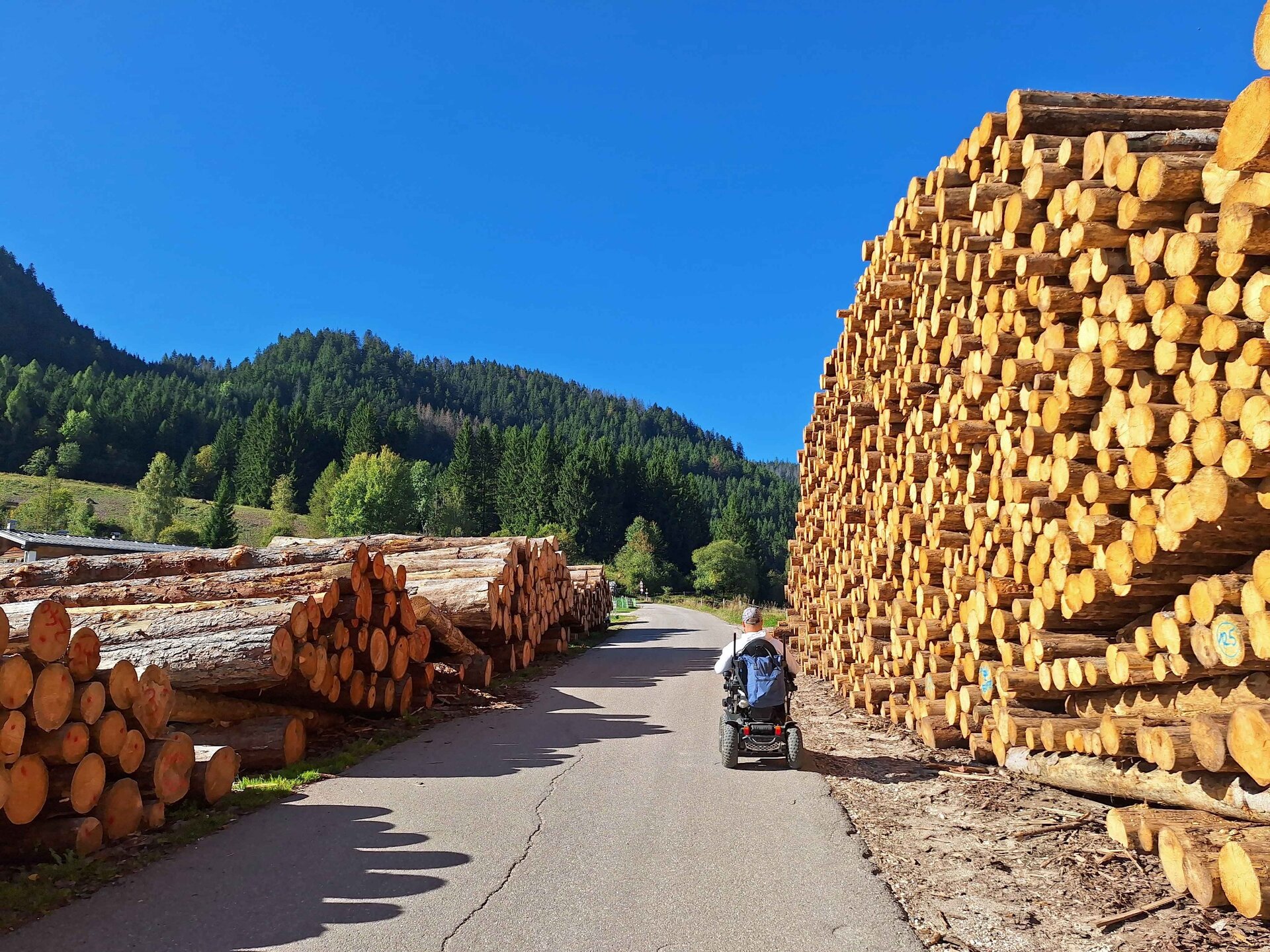
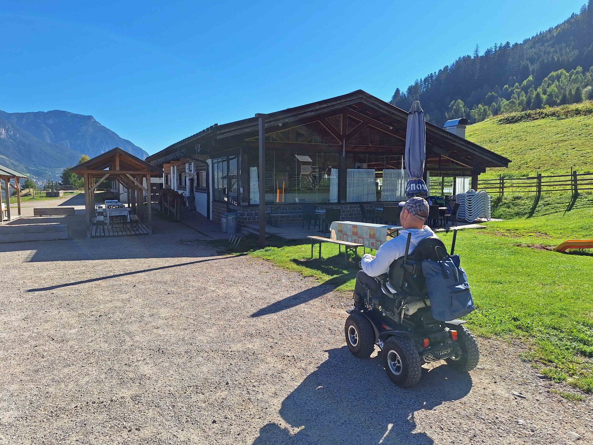
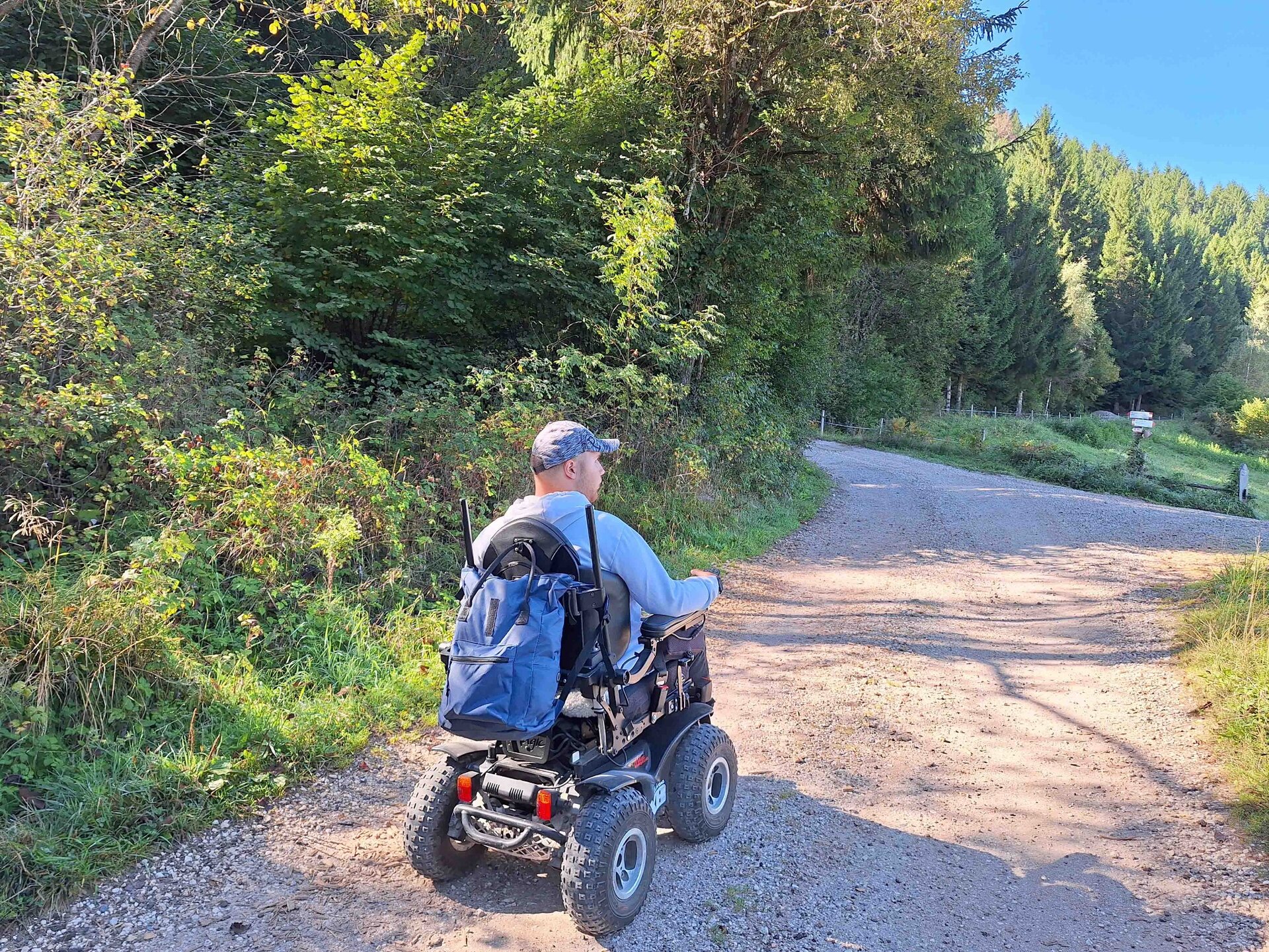
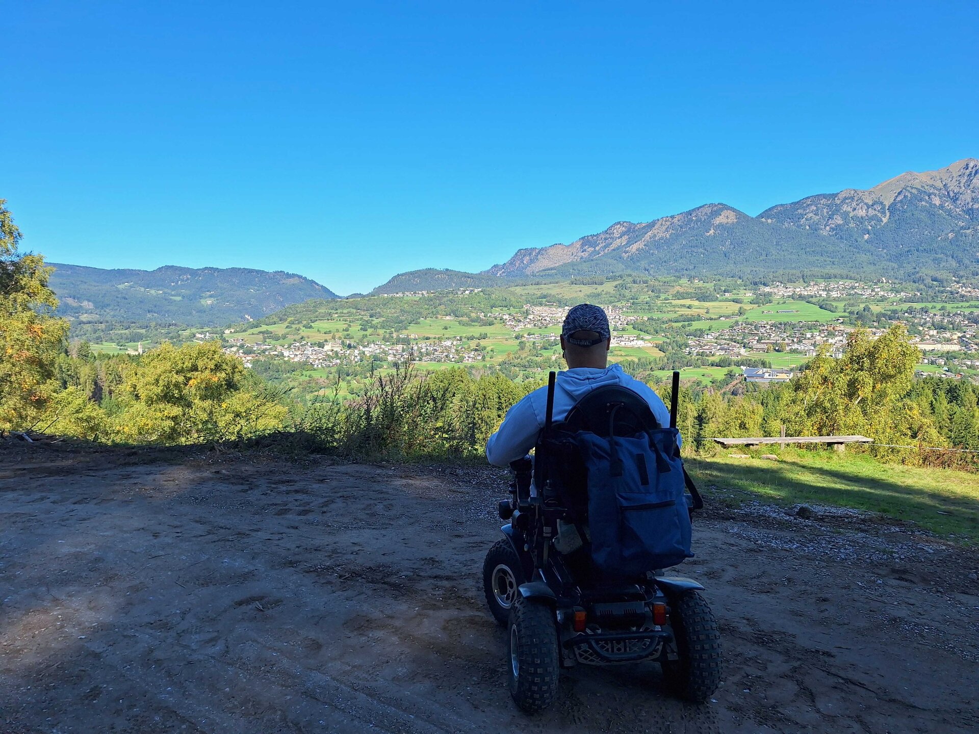
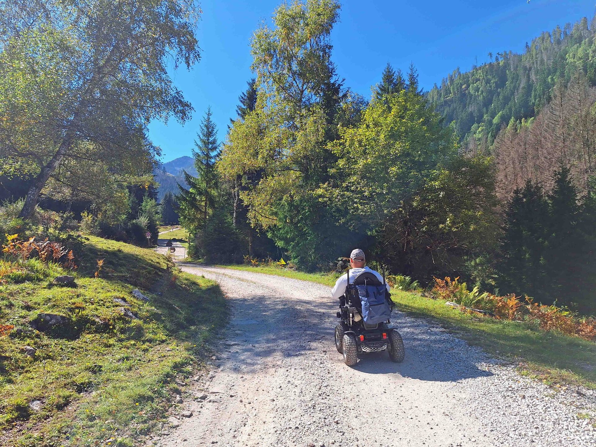
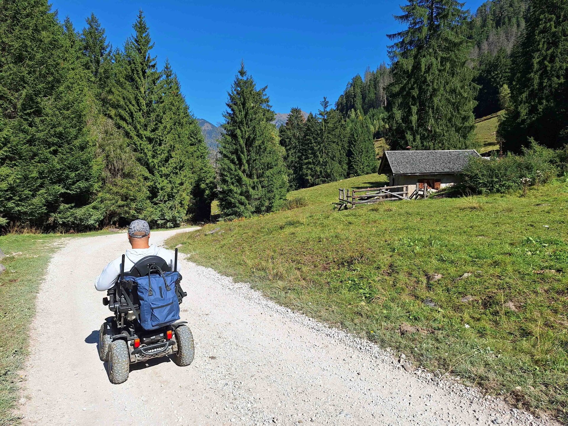
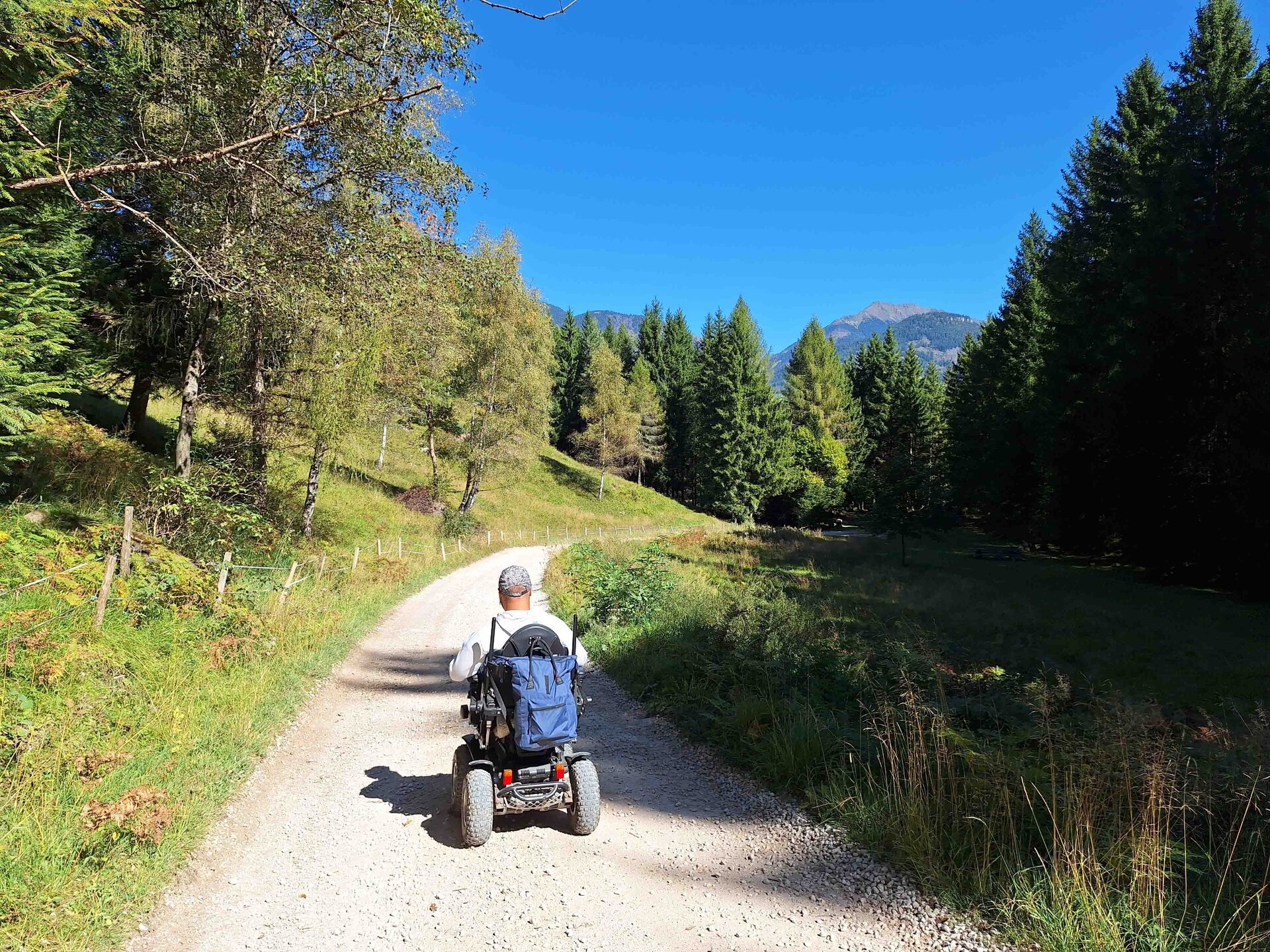
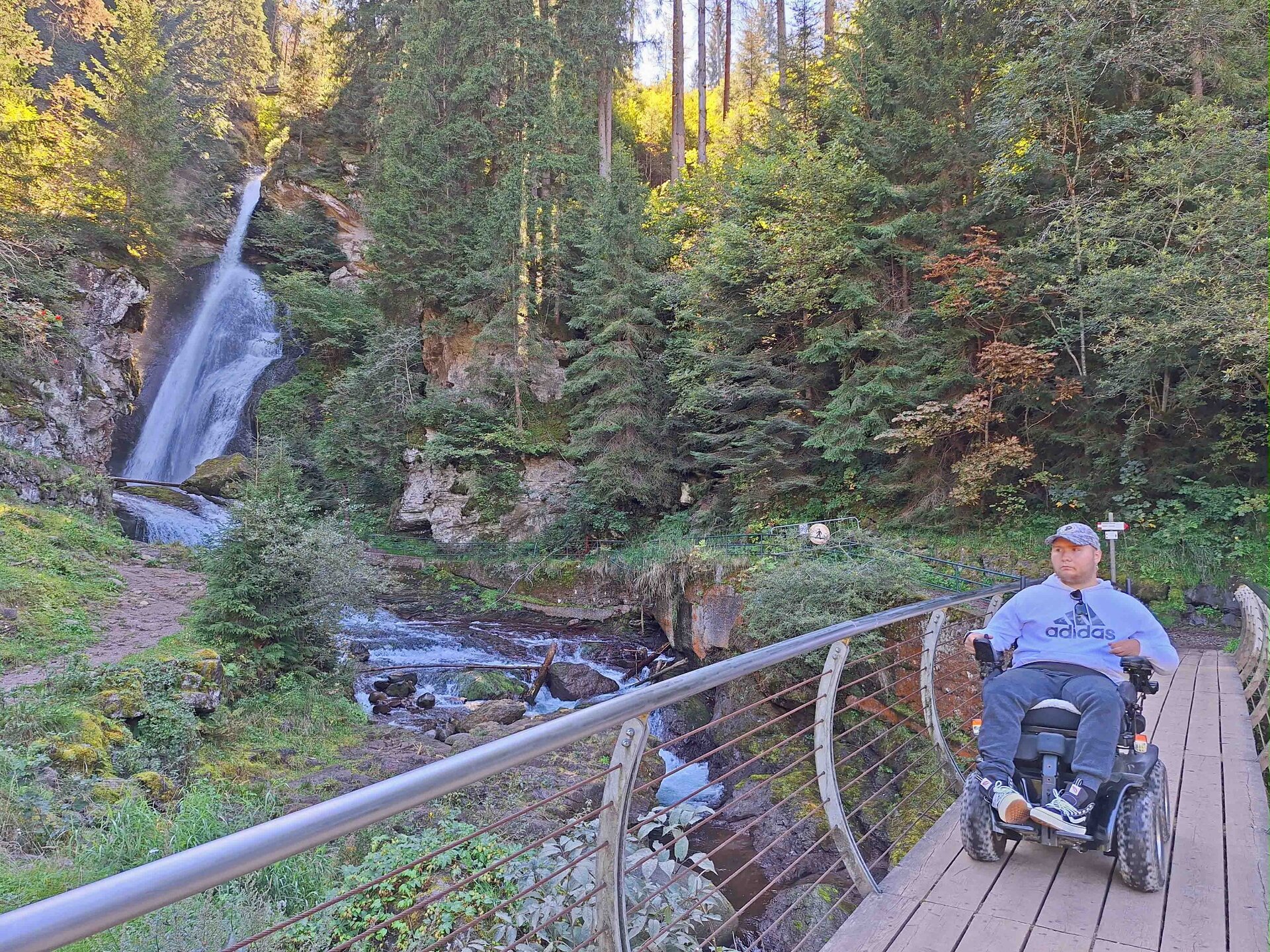
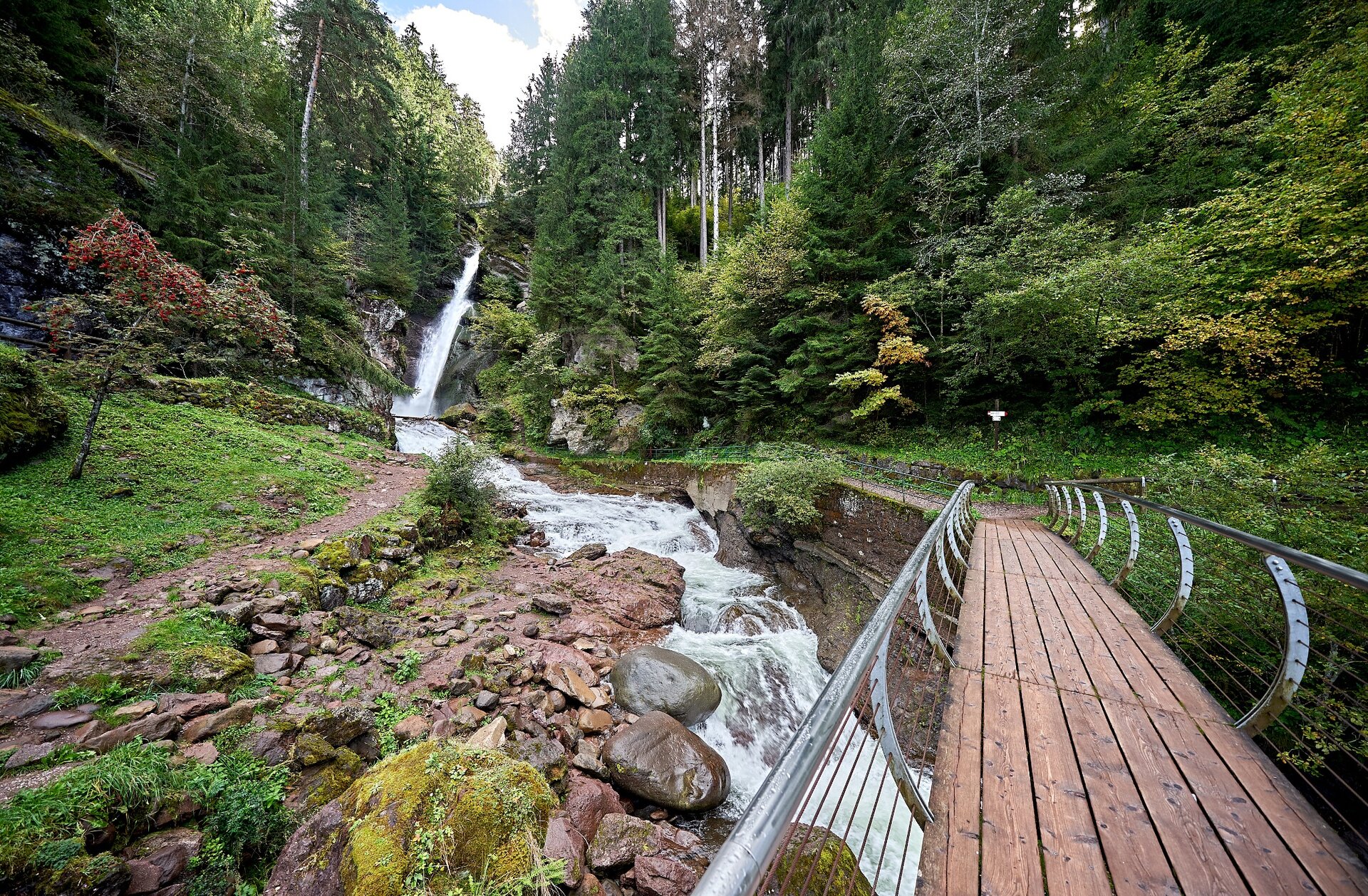
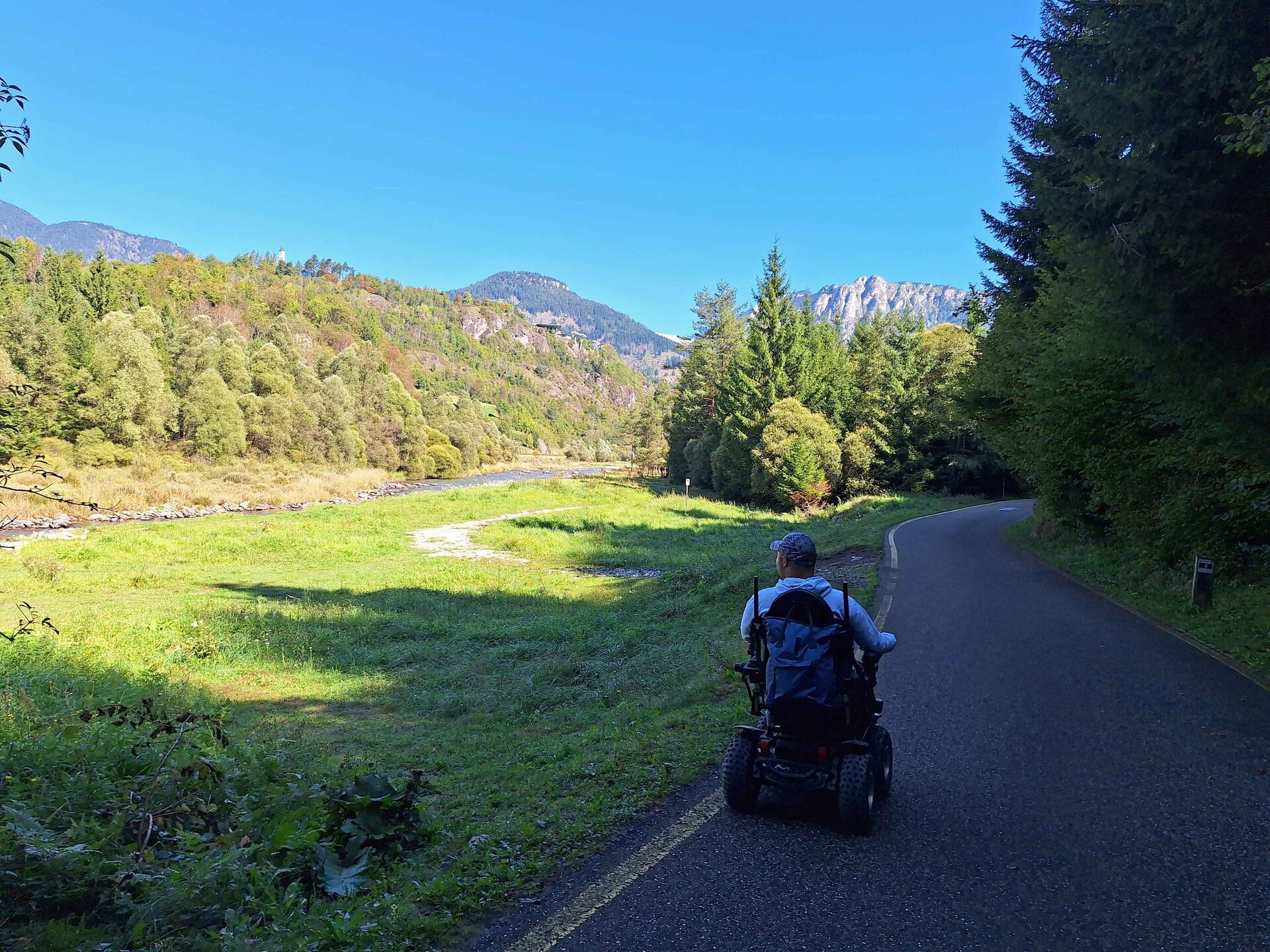
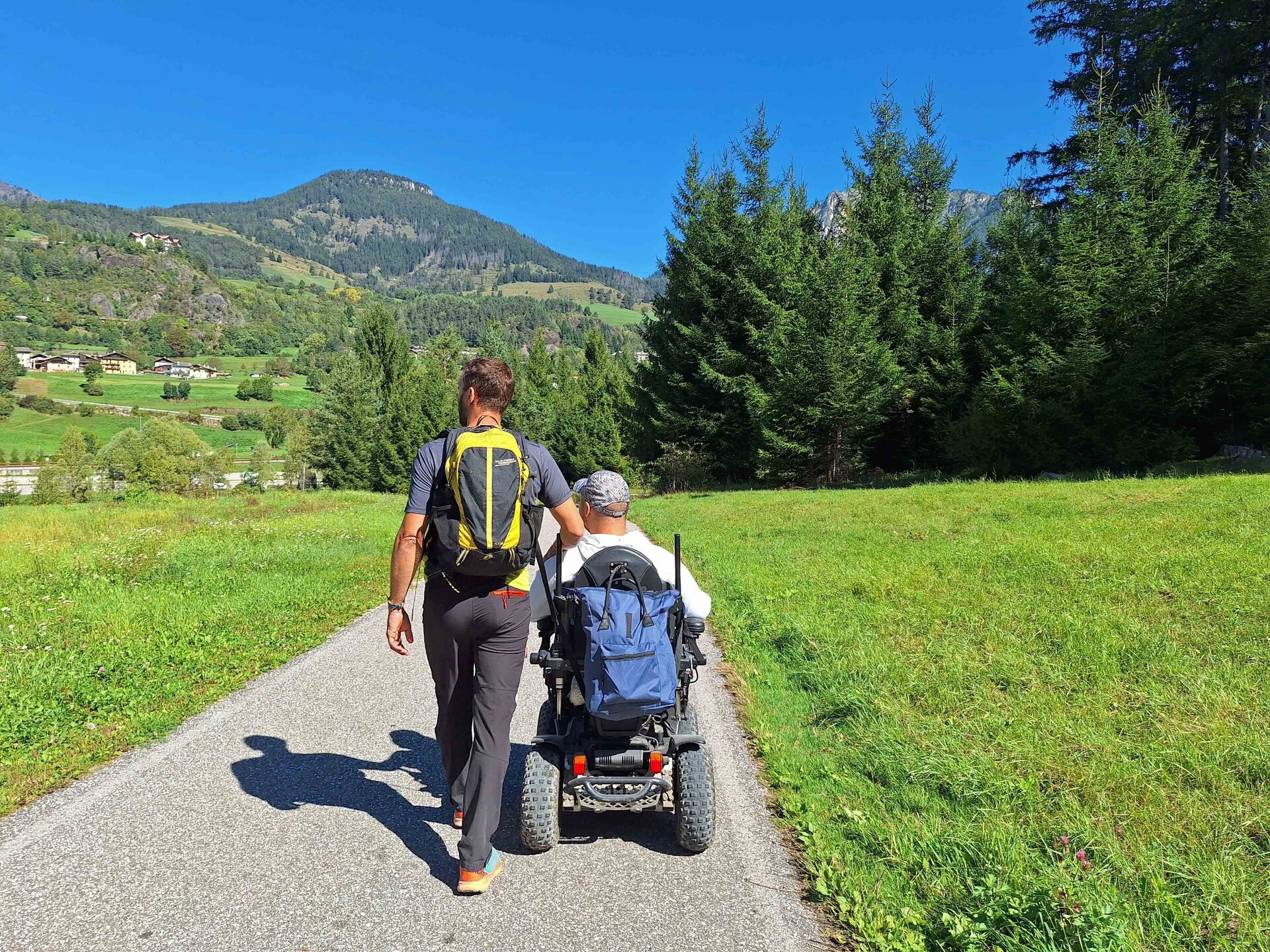
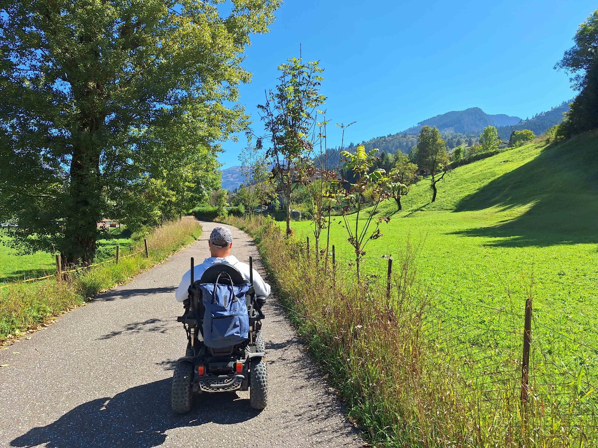
From the flat parking lot at the soccer field, cross the road at the pedestrian crossing and take the small road on the right (open to traffic) with signs "Waterfall" and "Località SANTA". Ignore the bike path and continue uphill on the left; once you reach the curve, take the road on the right leading to the brewery. At the brewery, the ground becomes unpaved but compact and the 4x4 wheelchair encounters no difficulties, not even on the small channels. At the top of the climb, turn right onto the paved road and continue straight to Malga Salanzada (open to the public) where you can take a break. From the hut, it is possible to admire some villages of the Val di Fiemme and the surrounding mountains, such as Corno Nero, Pala di Santa, Latemar, and Monte Cornòn. Ignore the dirt road going up behind the hut and instead continue on the dirt road with a slight ascent, first alongside a nice pasture and then into the forest. Upon reaching a fork with the sign "Path 11", an information panel, and some rocks, turn right and take the descending road leading to the waterfall. You pass a hut and enter the forest again. Along the way, there are two equipped meadows on the right with benches, tables, and barbecues. Once you reach the Waterfall locality, before the bridge, we recommend taking the small path on the right that climbs the hill and allows you to get closer to the water jet and the pedestrian bridge. From here, descend onto the paved road and take the bike path on the right, which will lead you back to the Masi di Cavalese parking lot through woods and meadows with views of the Avisio river.