Wskazówki dojazdu
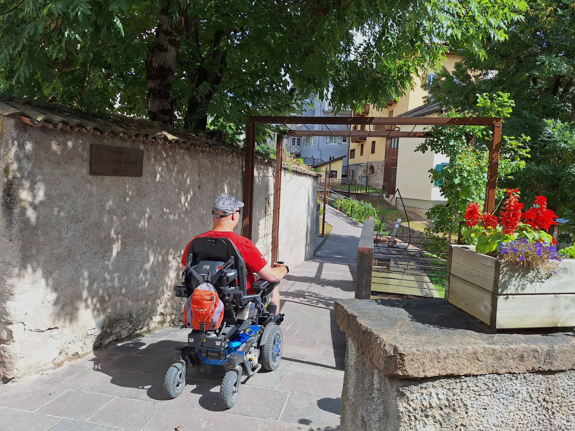
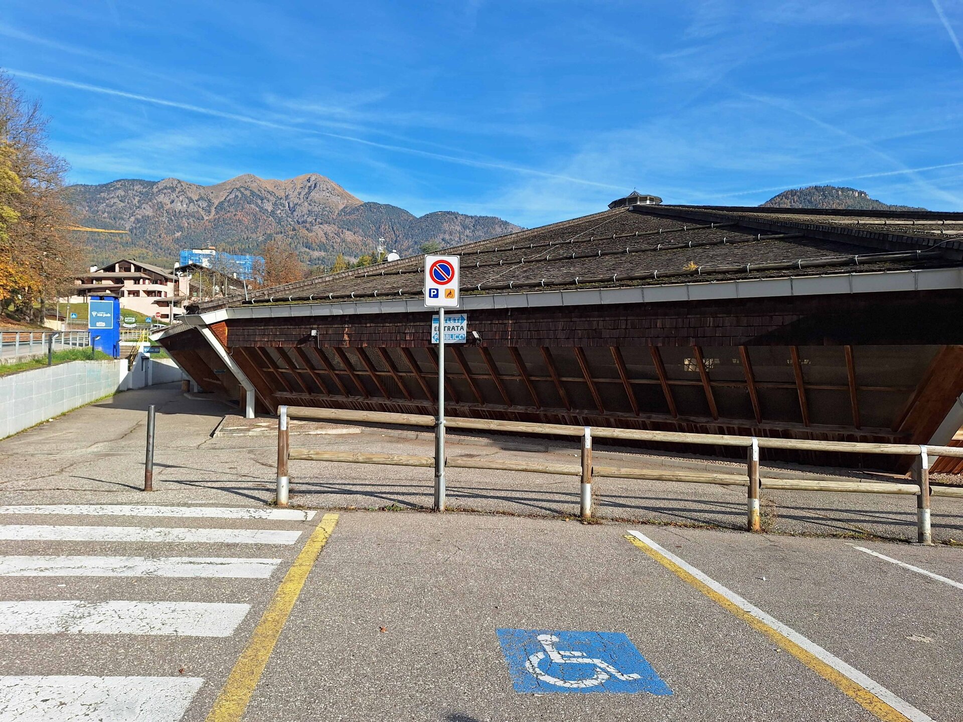
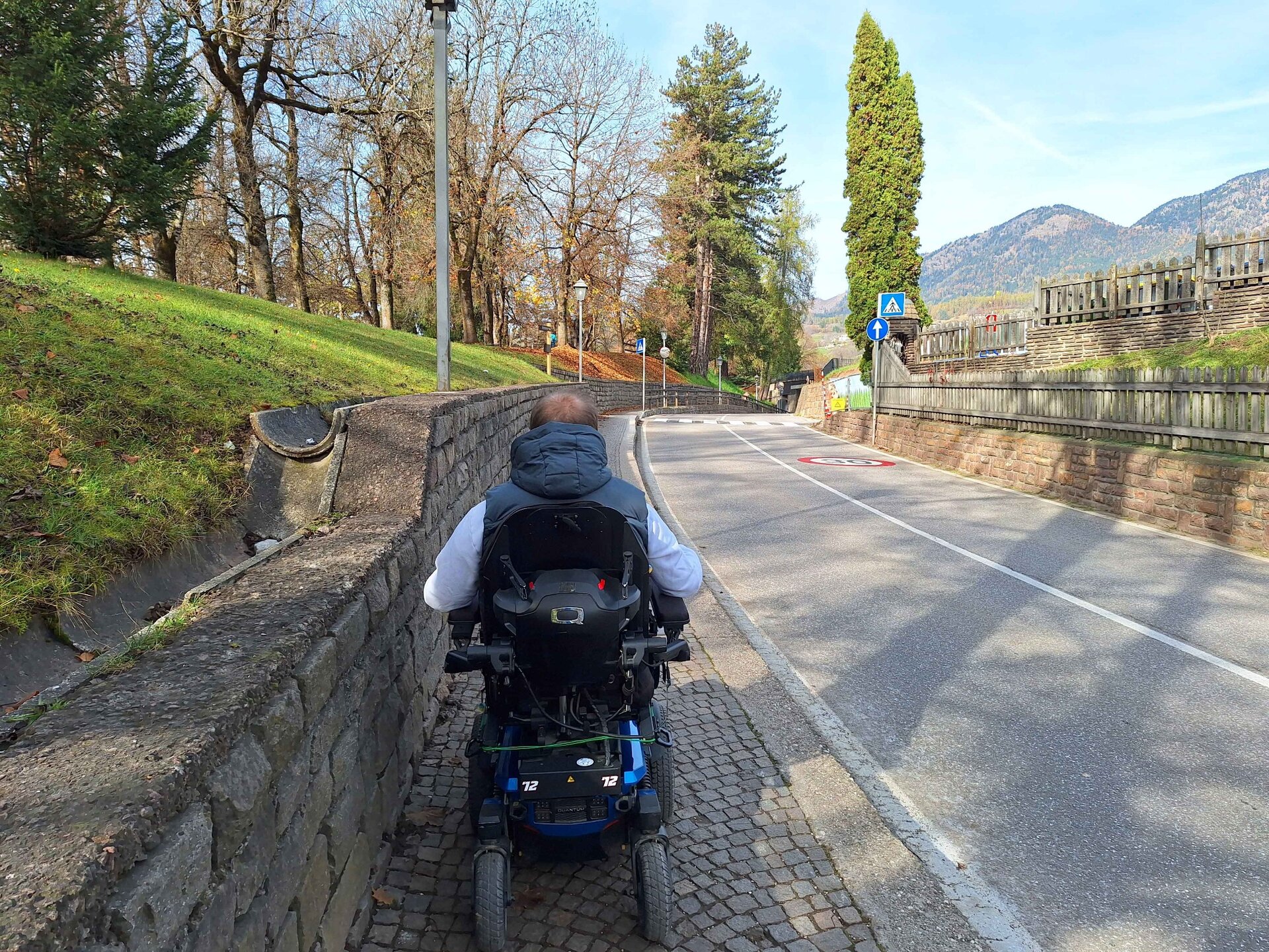
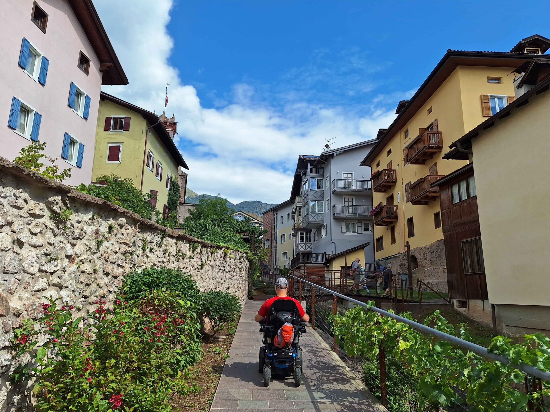
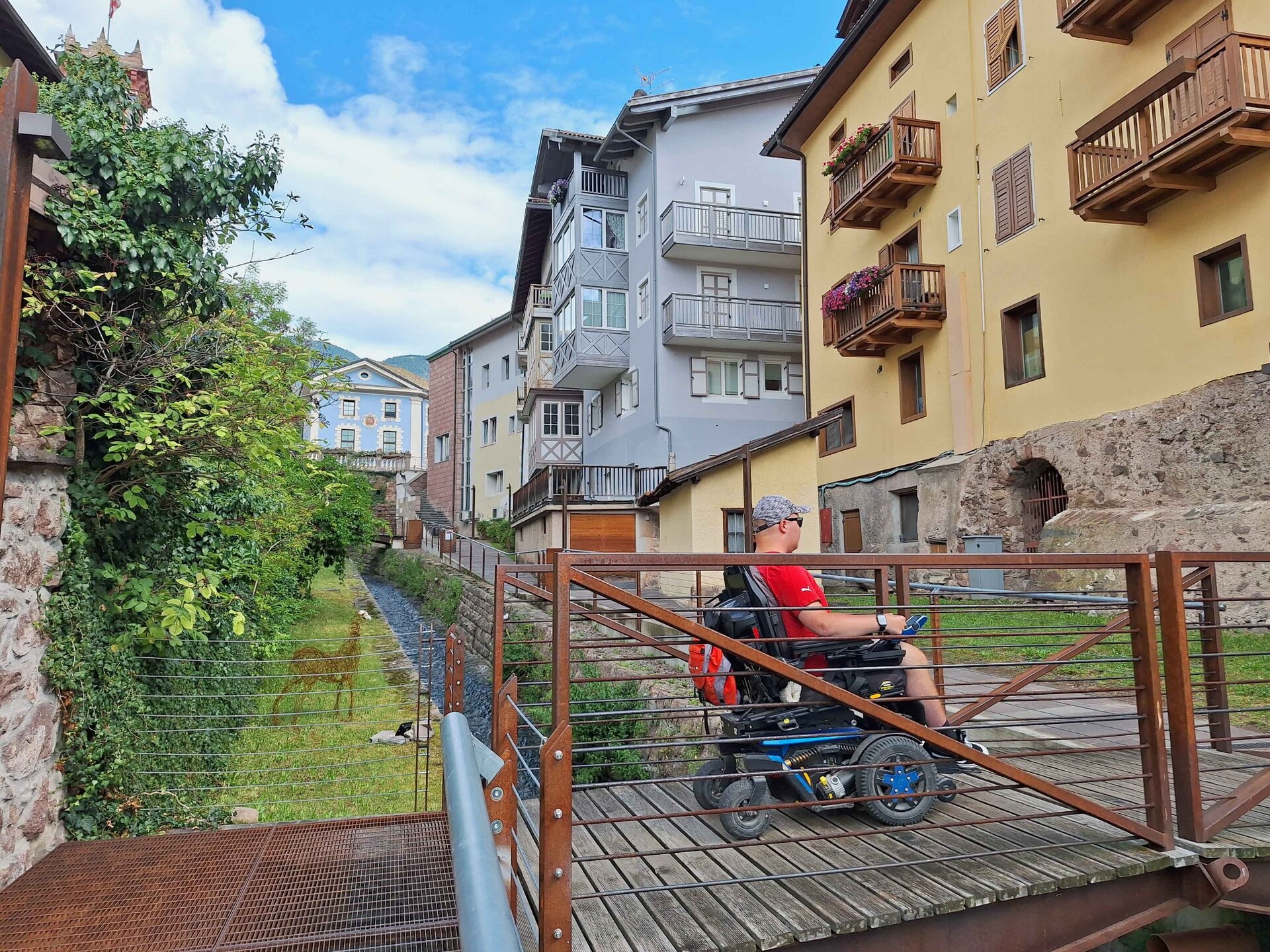
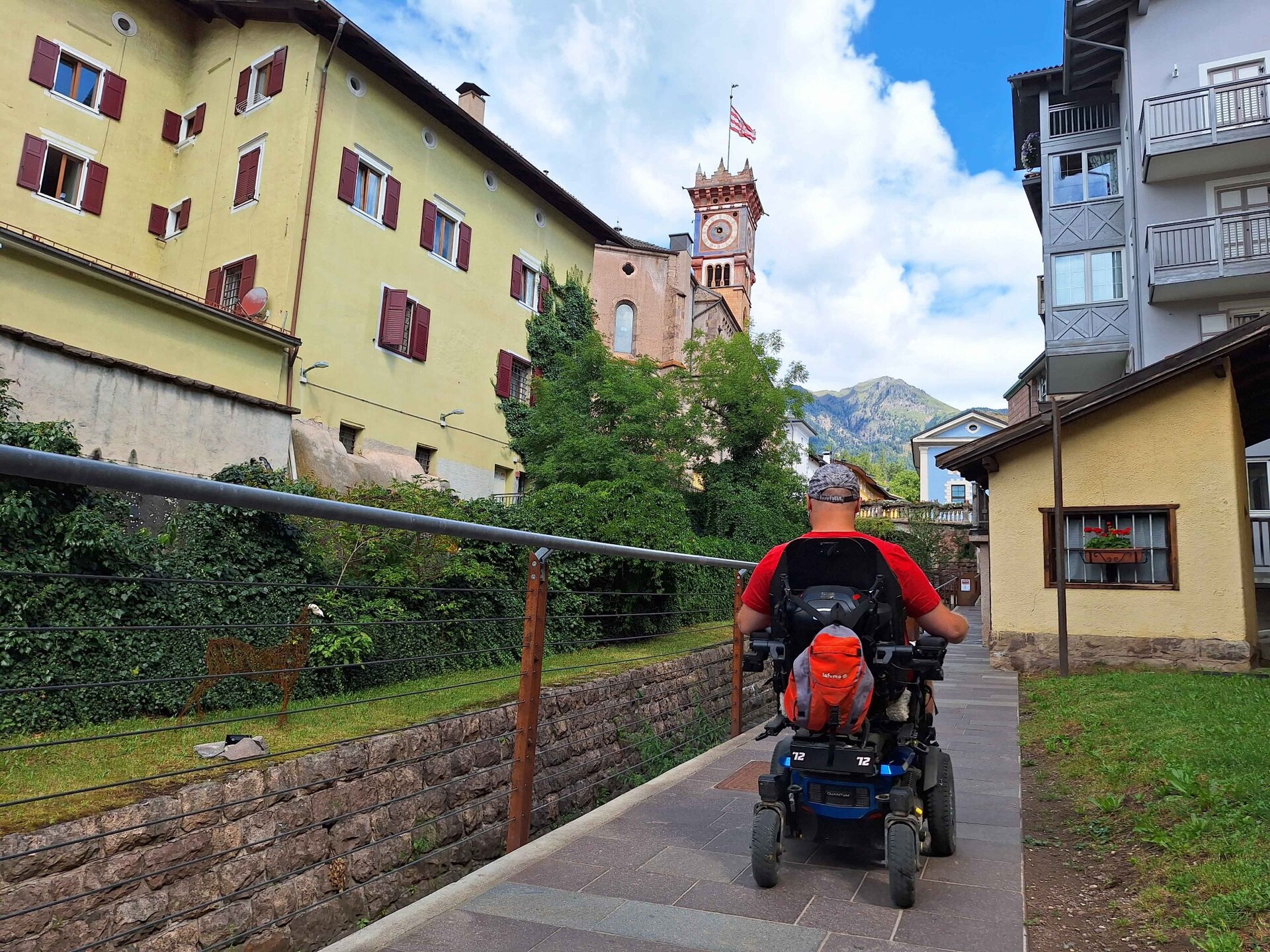
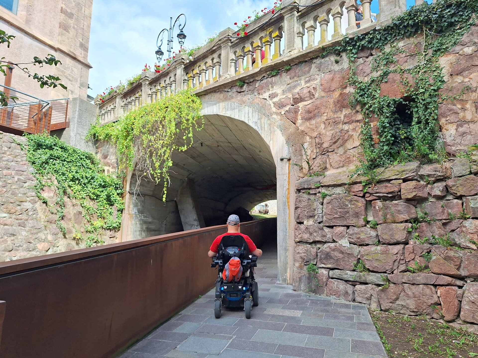
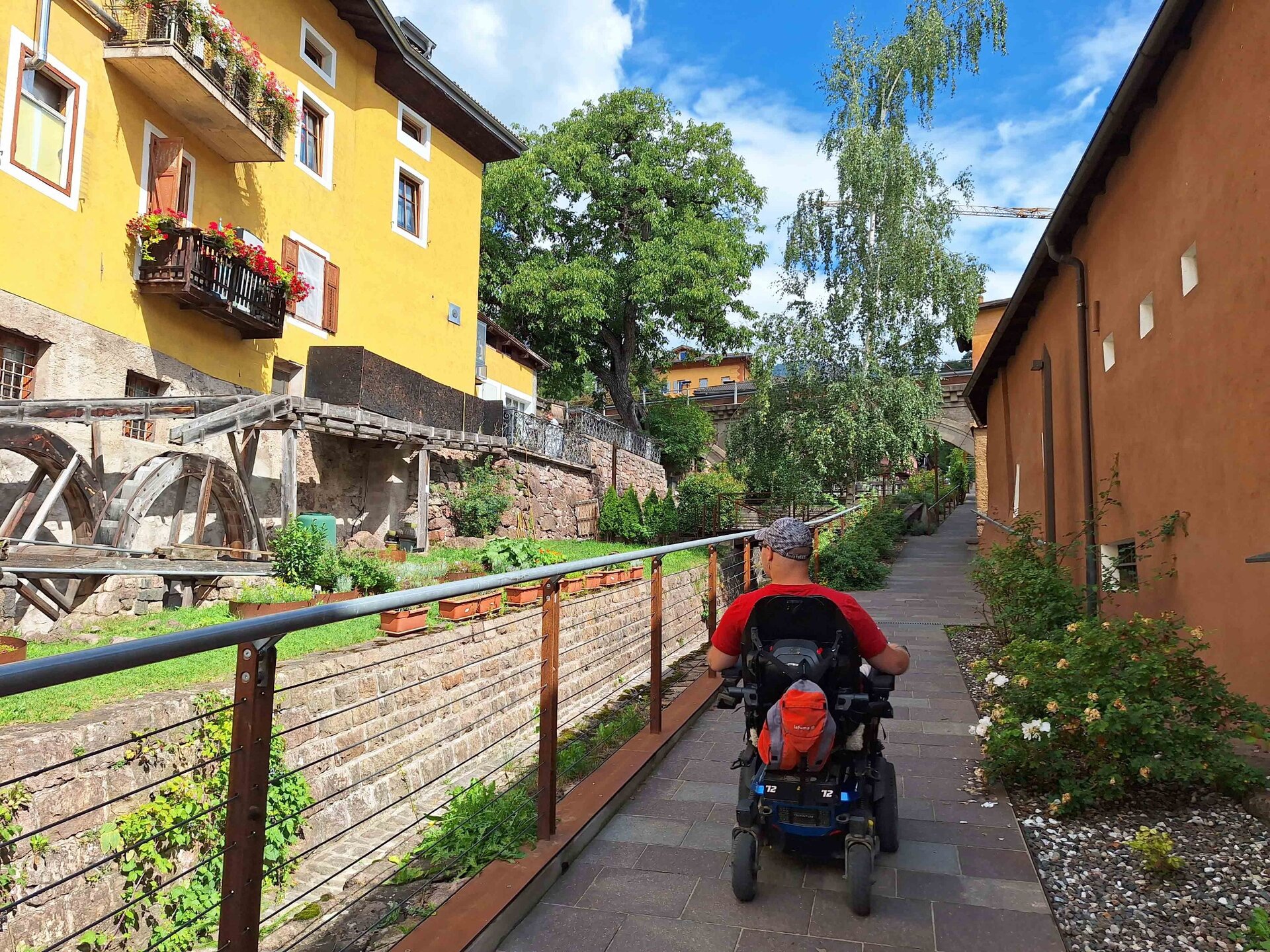
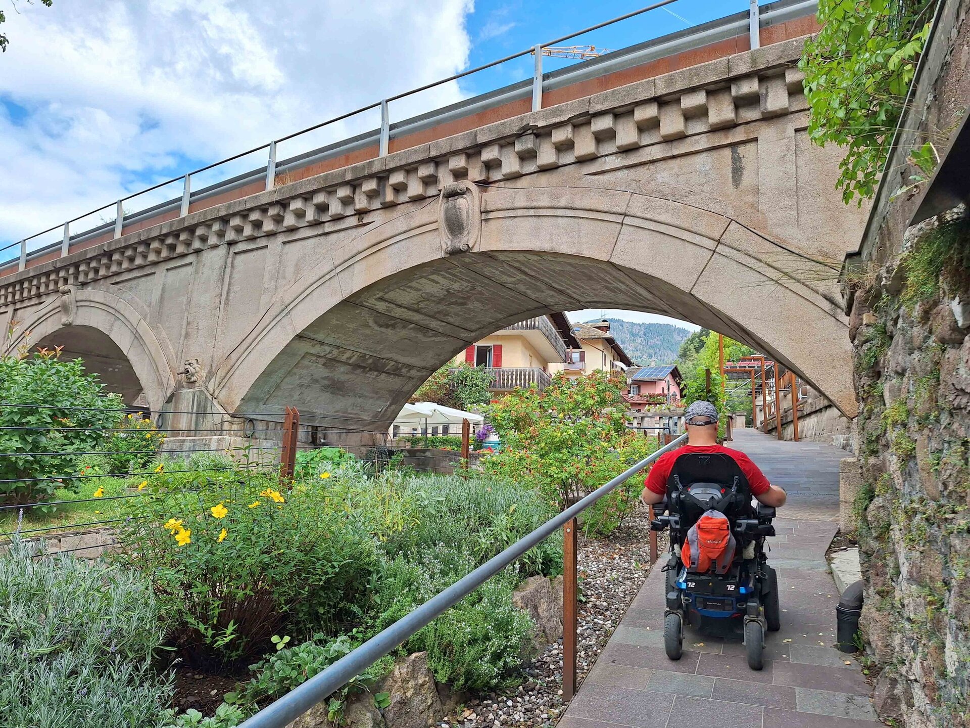
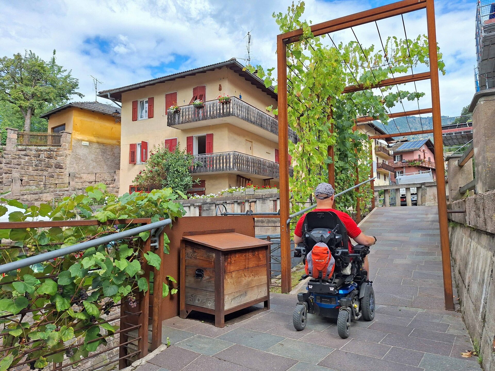
From the parking lot of the ski lifts, follow the sidewalk of Via Cermis and climb onto the sidewalk of Via Firmian. Continue straight on Viale Mendini, famous finish line of the Marcialonga, the most important cross-country ski competition in Italy. In the square below, some unusual trees grow; these shrubs were brought to Val di Fiemme by Franciscan friars from various countries around the world. Then take Via Ress to the left, observing the fresco on the Canonica. At the end of the bridge, turn right and enter the "Don Bruno Bonelli promenade," modern, spectacular, and easy to walk, with its crossings under the bridges, including the old railway bridge. On the left, the bell tower of the church of San Sebastiano, a tall tower full of color, does not go unnoticed. A little further ahead, still on the left, you can glimpse the wheels of an ancient mill. In the past, many workshops could be found along the banks of the streams.
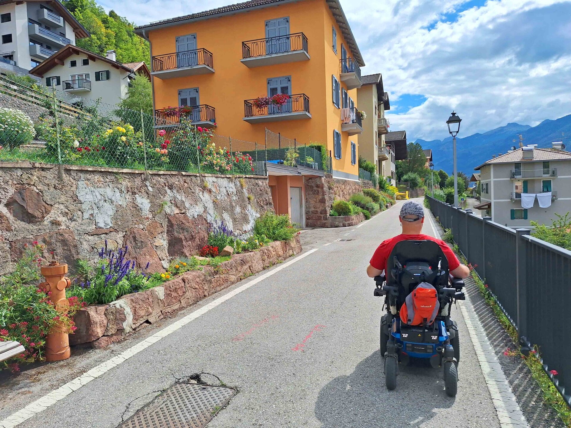
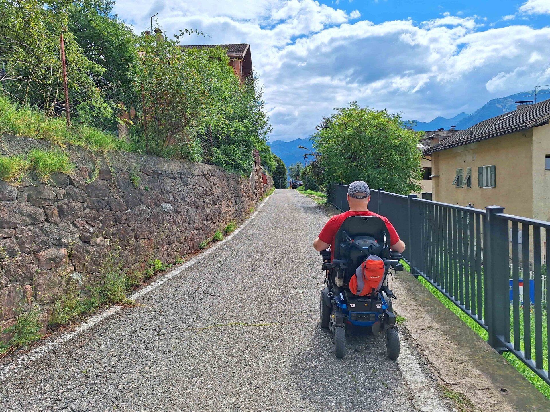
At the end of the Don Bruno Bonelli promenade, on the left, there is a semicircular fountain at the foot of the bridge where the Ora-Predazzo railway line once passed, dismantled in 1963. From here, turn right and continue straight, after the intersection, on Via Montebello. Always continue straight and take Via Paradisi, from which you can observe the roofs of the houses, the streets, and intersections that characterize Cavalese. Continue slightly downhill to the end of the street and turn right onto the Dolomiti State Road. At the height of Palafiemme, cross the street and turn left following the road used by buses. After passing the bus station, follow the cycling and pedestrian path, cross the bridge, and turn right onto Via della Pieve. Turn right onto Via Firmian and then always right onto Via Cermis until you reach the starting point.