To the navigation Skip to main content To the footer
Top

Beghei town

Segonzano
Difficulty
Easy
Duration
2:00
in hours
Distance
4
in km
Categories
  • Hiking trail
Tags
  • Scenic
  • Out and back
  • Round trip
  • Family-friendly
Suggested period
Jan
Feb
Mar
Apr
May
Jun
Jul
Aug
Sep
Oct
Nov
Dec

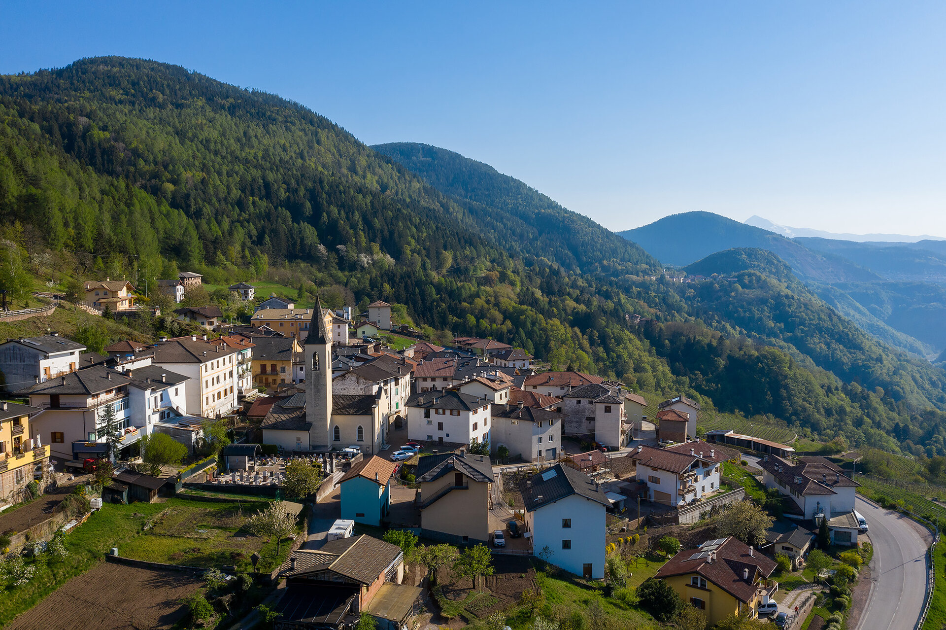
A relaxing walk through the narrow streets of the historic centre to the wide open meadows around the town

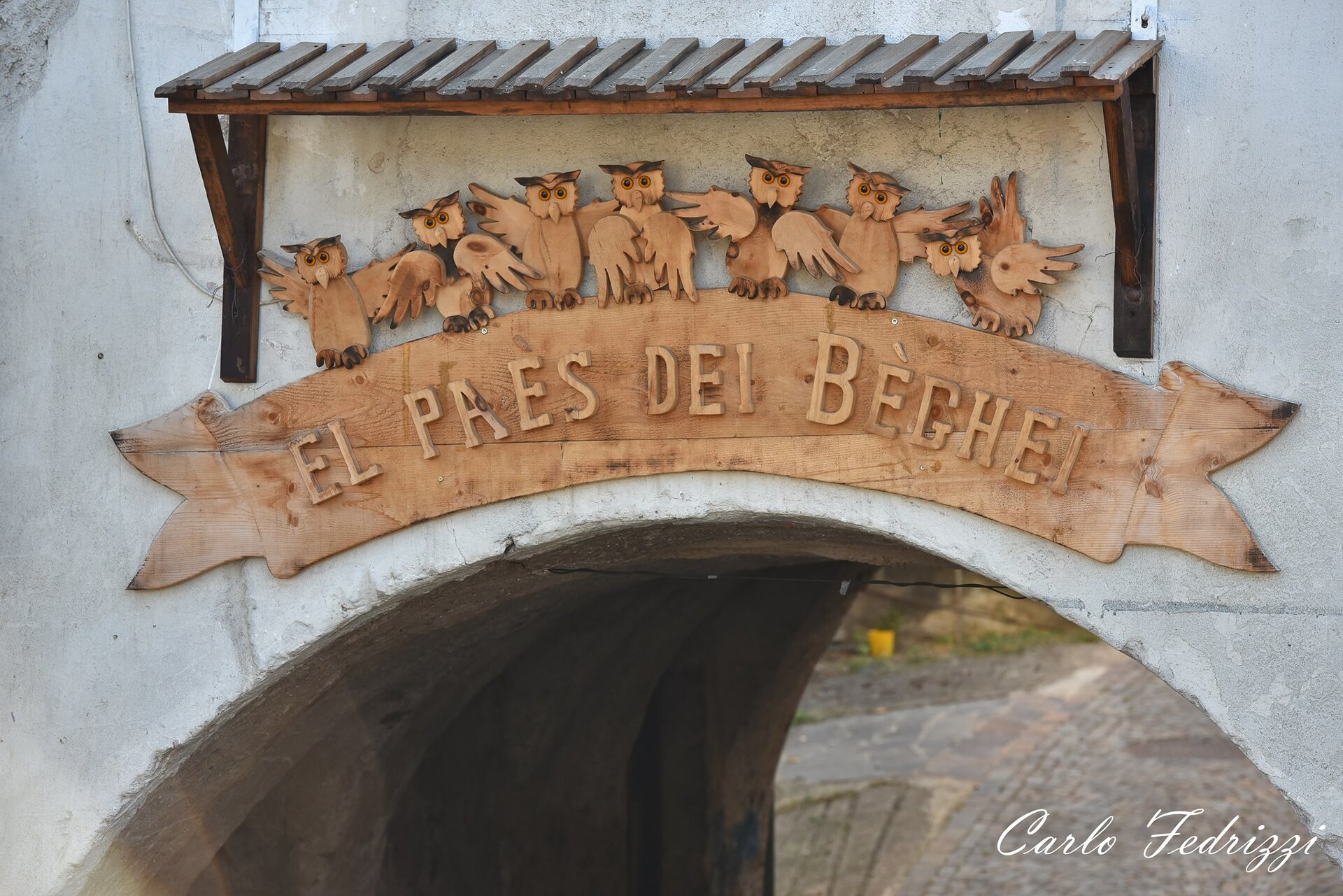
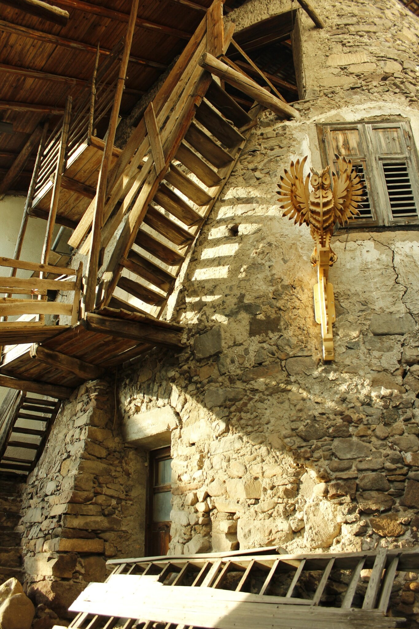
Beghel (meaning owl) is the nickname of the people of Sevignano, a proud Segonzano hamlet. It is said that in the past, in exchange for a few coins, the young people of Sevignano used to help out travellers caught out at dusk, accompanying them, like nocturnal birds of prey, along the Ceramonte footpaths.

Every summer in Sevignano a Simposio del Beghel is held, three days of art, music, food and wine.

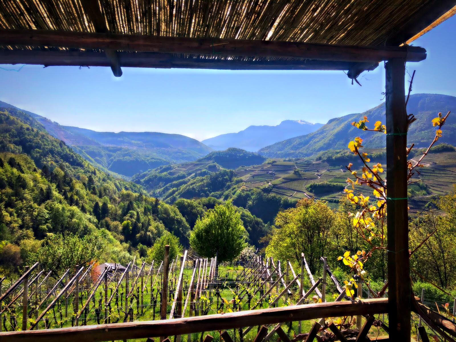
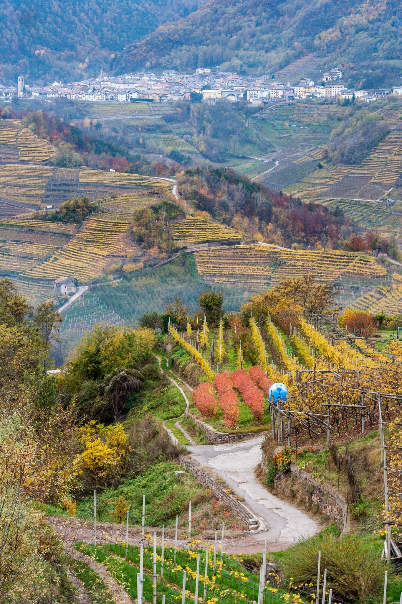
This route takes you through town streets decorated with works of art made during the Simposio and the area around Sevignano with its countryside, meadows and woods.
Gallery
Categories
  • Hiking trail
Tags
  • Scenic
  • Out and back
  • Round trip
  • Family-friendly
Route data
Easy
Distance
4,0 km
Duration
2 h 00 min
Ascent
200 m
Decent
200 m
Physical condition
Scenary
Highest point
895 m
Lowest point
687 m
You might be interested in
Discover related tours
© Sara Zucal, Rete di Riserve Val di Cembra Avisio
Difficult
Sover, Segonzano
Segonzano - Sover, Cammino delle Terre Sospese
Distance 15,3 km
Duration 5 h 25 min
Ascent 724 m
Decent 631 m
On the route | © A. Russolo, APT Fiemme Cembra
Easy
Predazzo, Tesero
Latemar Discover Tour
Distance 4,1 km
Duration 1 h 30 min
Ascent 135 m
Decent 290 m
Montealto | © Elisa Travaglia, Rete di Riserve Val di Cembra Avisio
Sover
Sover and its hamlets
Distance 9,2 km
Duration 3 h 30 min
Ascent 450 m
Decent 450 m
Capriana - Larch Forest | © Staff Outdoor Val di Fiemme, APT Fiemme Cembra
Easy
Capriana
Walk around old huts in the nearby of the village Capriana
Distance 10,2 km
Duration 3 h 00 min
Ascent 332 m
Decent 332 m
San Valerio Tower | © M. Morandini, APT Fiemme Cembra
Easy
Cavalese
“Steps through time” in Cavalese
Distance 4,1 km
Duration 2 h 00 min
Ascent 130 m
Decent 130 m
© Responsabile Ufficio Altopiano di Piné SS, APT Trento
Easy
Faver, Grauno, Grumes, Valda
At Rifugio Potzmauer
Distance 4,8 km
Duration 1 h 30 min
Ascent 300 m
Decent 300 m