To the navigation Skip to main content To the footer
Top

Between porphyry and dolomite: trekking with a view of Lagorai and Pale di San Martino - Day 2

Predazzo
Difficulty
Intermediate
Duration
6:00
in hours
Distance
12.6
in km
Categories
  • Mountain tour
Tags
  • Linear route
  • Multi-stage route
  • Scenic
  • Geological highlights
  • Fauna
  • Insider tip
  • Summit route
  • Refreshment stops available
  • Cultural/historical interest
  • Flora
Suggested period
Jan
Feb
Mar
Apr
May
Jun
Jul
Aug
Sep
Oct
Nov
Dec

This 4-day loop trek is a very versatile proposal as it allows you to choose between several variants of different difficulty. This is why it can be tackled by both those approaching the multi-day trek for the first time and those who are already experienced.

The track on the map presents the most demanding route. The MEDIUM and EASY variants are described in each stage in the TURN-BY-TURN DIRECTIONS section.

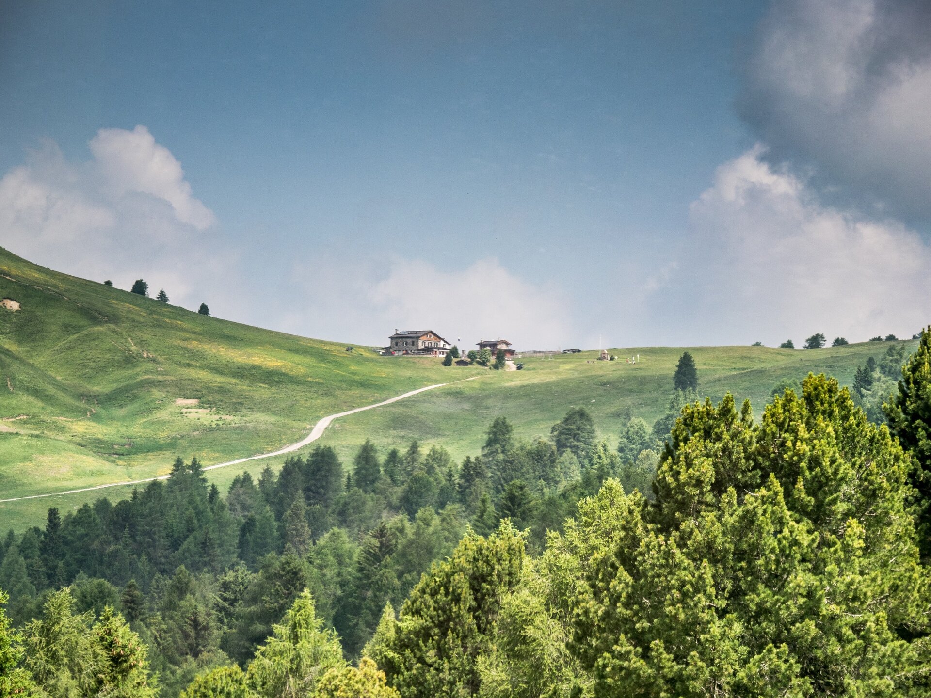
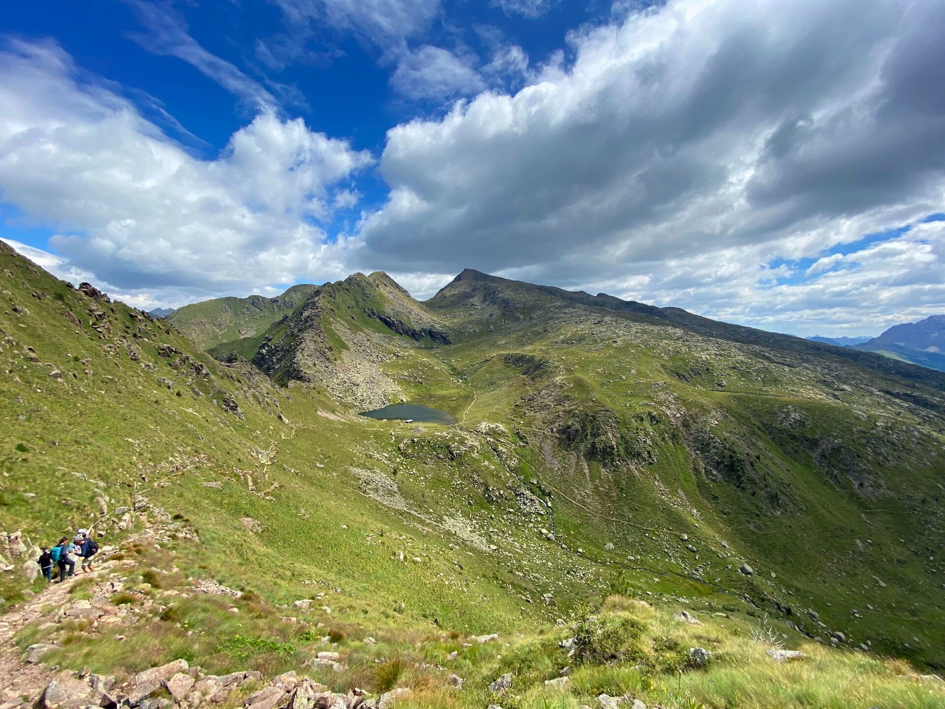
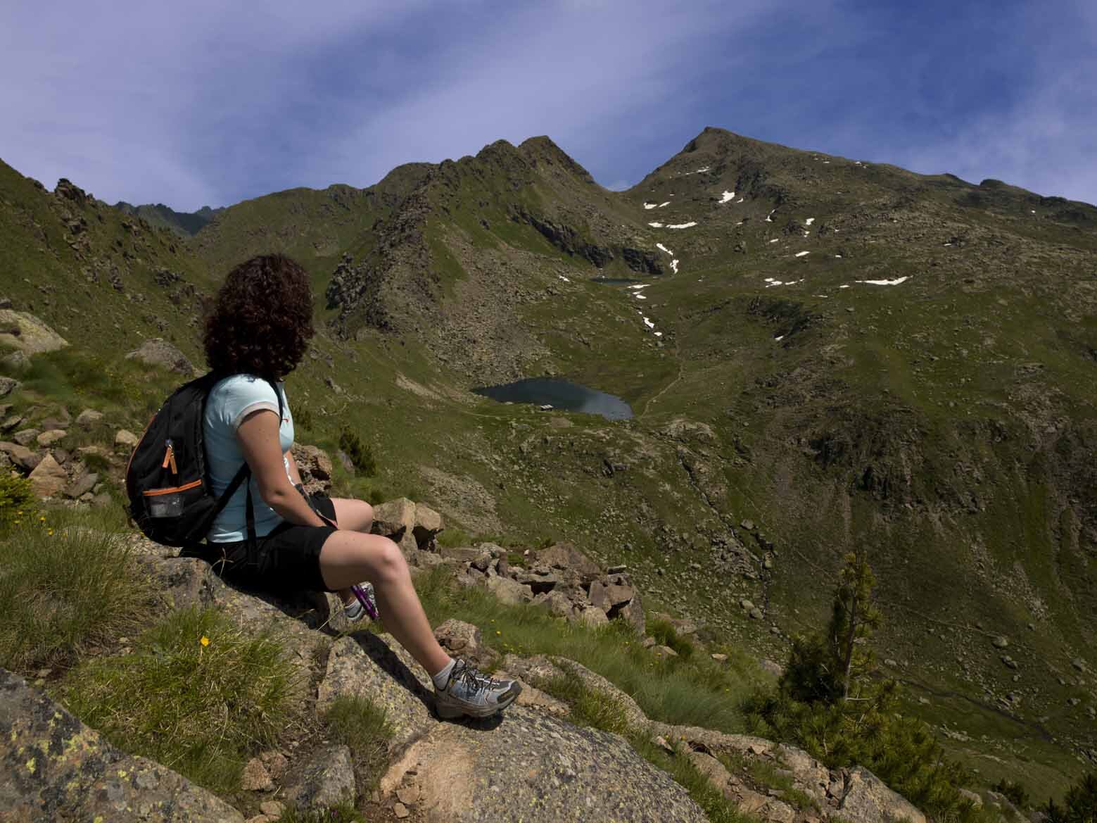
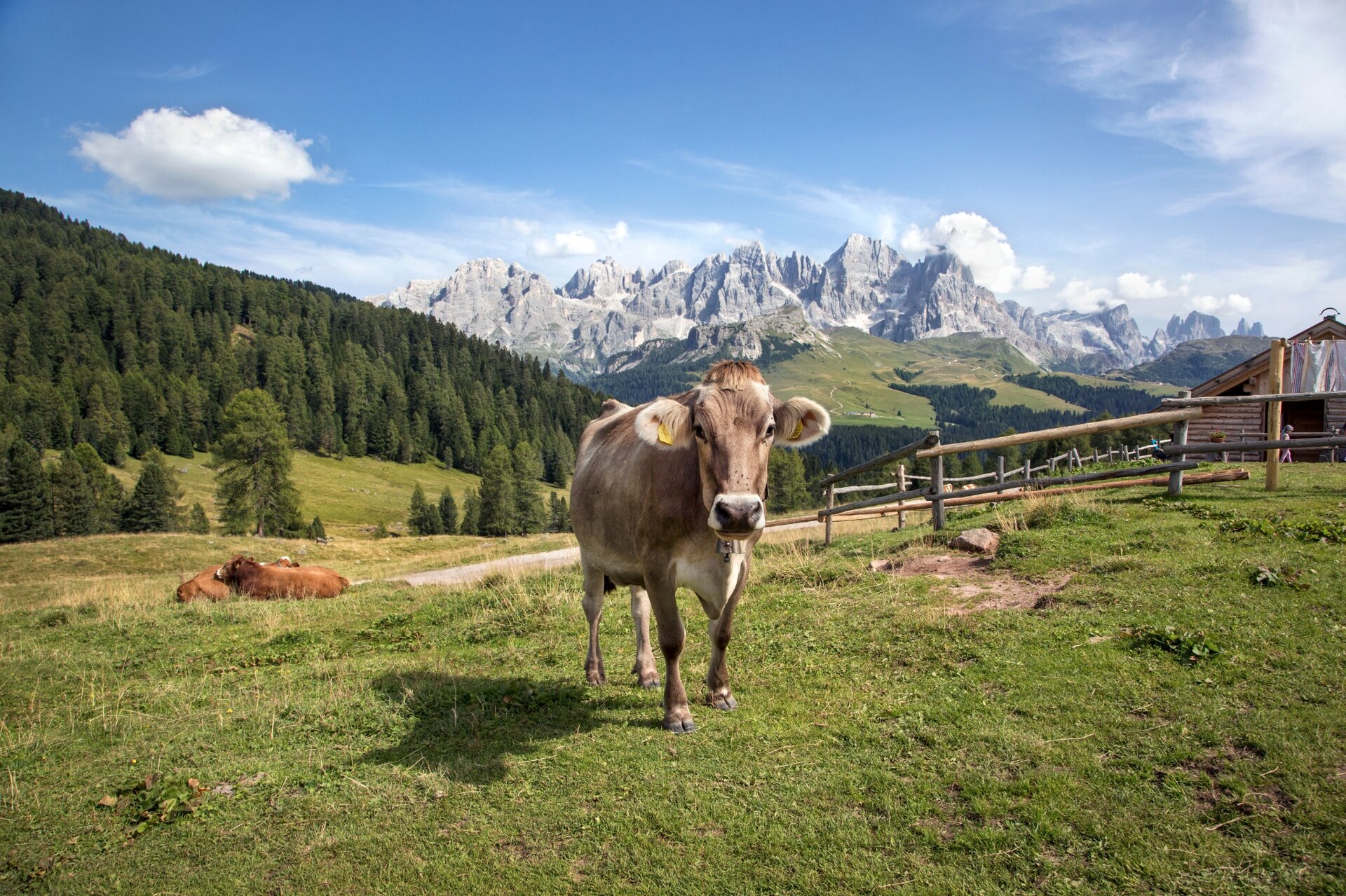
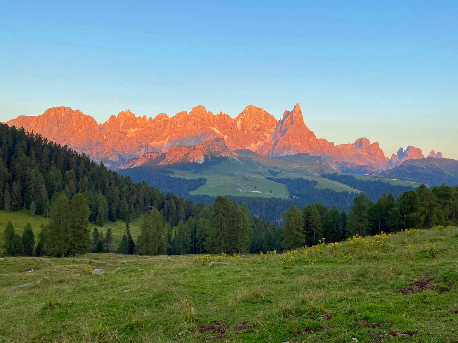
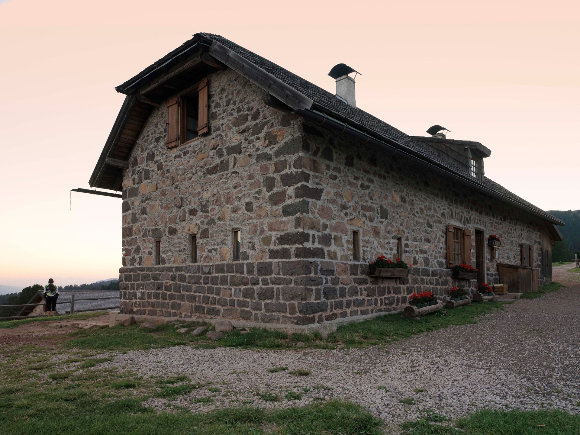
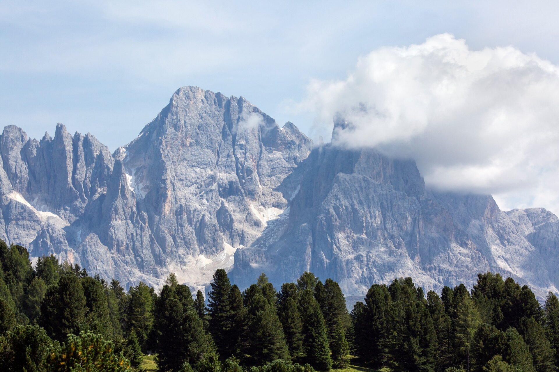
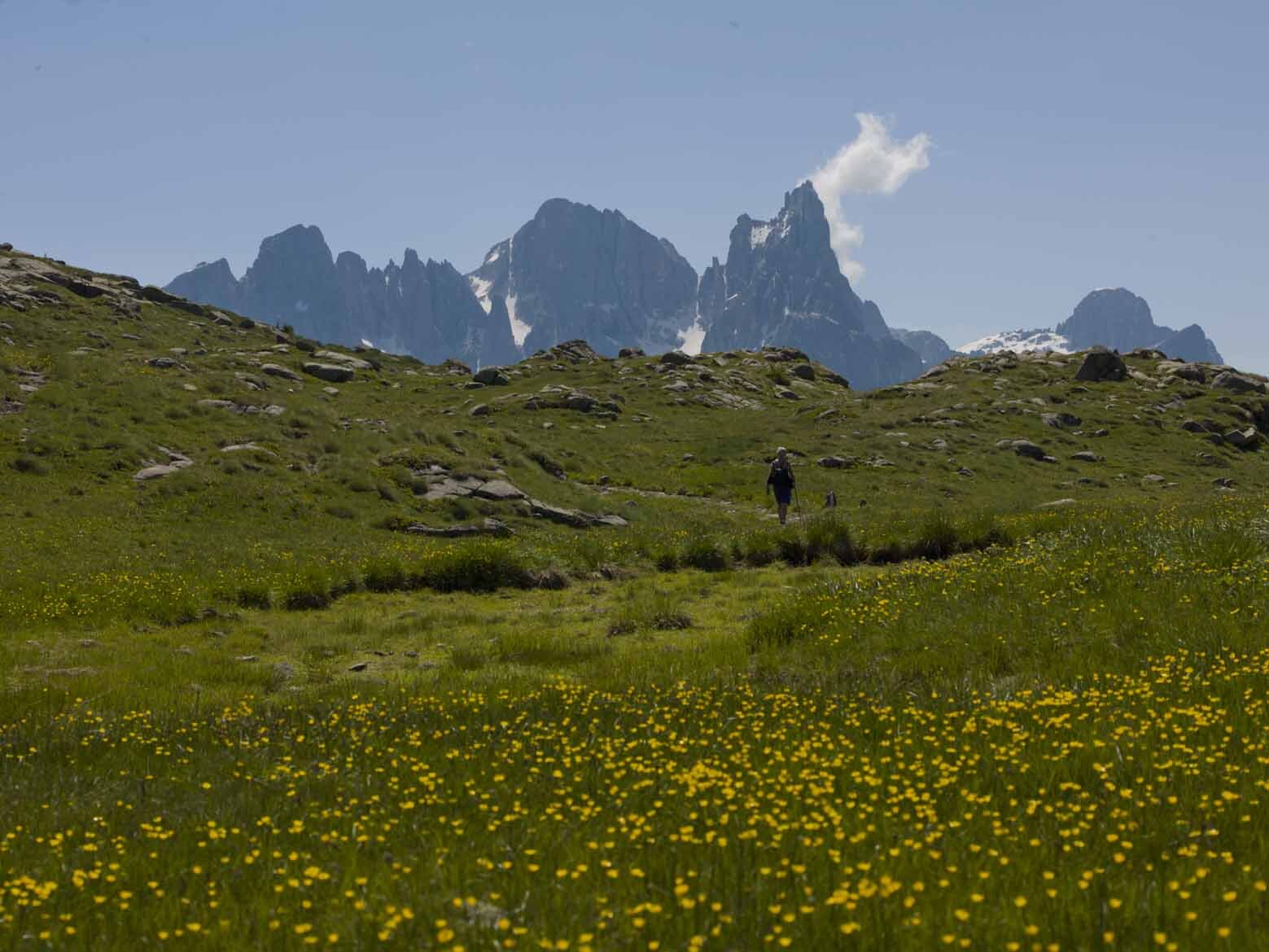
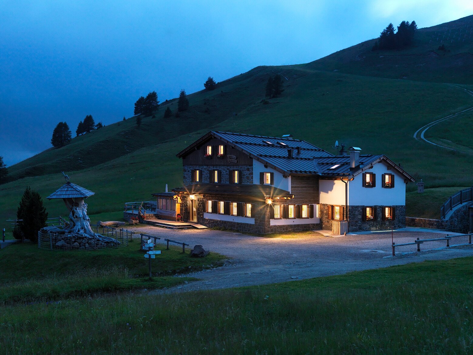
The route offers spectacular views of the Lagorai chain and the Pale di San Martino. Along the entire route there are refuges and refreshment points where it is possible to take a break, eat, and spend the night. The route leads to the discovery of some little-known routes, among Alpine lakes and trenches from the Great War, a unique opportunity to immerse oneself in the nature and history of the Fiemme Valley. After the first two days dedicated to the exploration of Alpe Lusia, amidst paths characterised by a great variety of rocks and porphyry outcrops, and with the Dolomites as a backdrop, on the third and fourth days you will literally immerse yourself in the beauty of the Pale di San Martino, with their soaring spires and picture postcard landscapes.

Almost the entire route runs through the territory of the Paneveggio - Pale di San Martino Nature Park, a protected area since 1967.
Gallery
Further information and useful links

MORE INFO:

APT Fiemme Cembra - Tel. +39 0462 241111 - info@visitfiemme.it - www.visitfiemme.it      

Alpe Lusia Bellamonte - Tel. +39 0462 576234 - bellamonte@alpelusia.it - www.alpelusia.it     

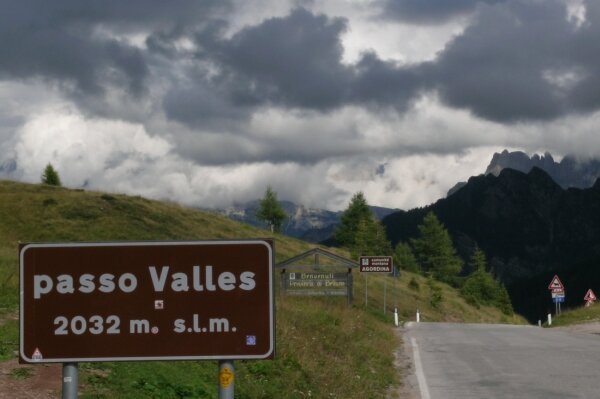
Rifugio Capanna Passo Valles - Tel +39 0437 599136 - 0437 599460 - info@passovalles.com - www.passovalles.com   

Categories
  • Mountain tour
Tags
  • Linear route
  • Multi-stage route
  • Scenic
  • Geological highlights
  • Fauna
  • Insider tip
  • Summit route
  • Refreshment stops available
  • Cultural/historical interest
  • Flora
Route data
Intermediate
Distance
12,6 km
Duration
6 h 00 min
Ascent
1.012 m
Decent
1.031 m
Physical condition
Scenary
Highest point
2.744 m
Lowest point
1.940 m
Suggestions

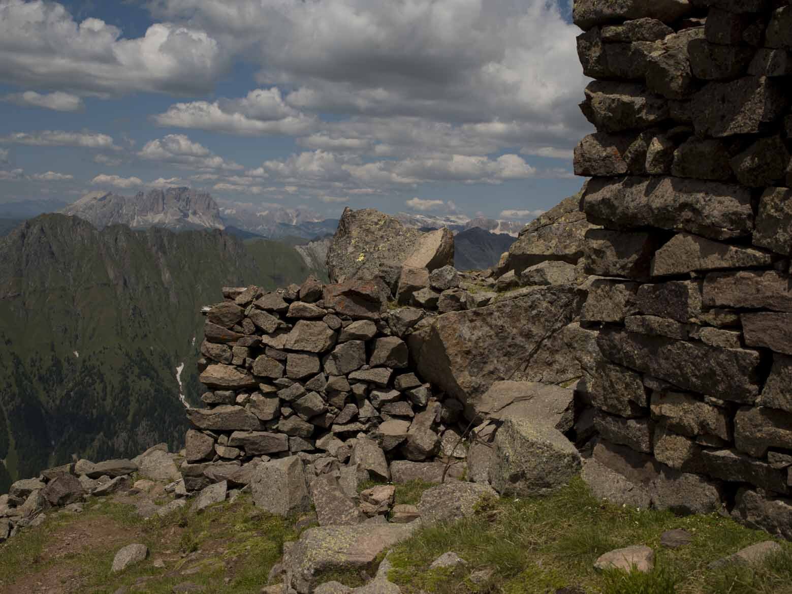
A suggestive itinerary on the traces of the Great War, where you will come across various remains of trenches and tunnels of the Austro-Hungarian line. Just below the summit is the small Jellici bivouac (2675 m), which is always open. Near the bivouac there are, very evident, the remains of a small military ‘citadel’, with trenches as far as the eye can see. Here on Cima Bocche, and on the nearby Cima Juribrutto, they fought uninterruptedly from May 1915 to November 1917, in summer and winter.

You might be interested in
Discover related tours
© Silvia Svaldi, APT Trento
Easy
Faver, Grauno, Grumes, Valda
Monte dell'Orso - Vedes Lake
Distance 16,7 km
Duration 5 h 30 min
Ascent 942 m
Decent 942 m
The peat bog of Lago Nero | © Alessandro Cristofoletti, Rete di Riserve Val di Cembra Avisio
Difficult
Capriana, Castello-Molina di Fiemme
The Monte Corno high altitude peat bogs
Distance 14,9 km
Duration 5 h 00 min
Ascent 600 m
Decent 600 m
Status
open
Buse See | © A. Campanile, APT Fiemme Cembra
Intermediate
Castello-Molina di Fiemme
Buse Lake
Distance 11,5 km
Duration 5 h 00 min
Ascent 650 m
Decent 650 m
Weide and Pale di San Martino | © A. Campanile, APT Fiemme Cembra
Easy
Predazzo
Between porphyry and dolomite: trekking with a view of Lagorai and Pale di San Martino - Day 4
Distance 14,6 km
Duration 4 h 00 min
Ascent 175 m
Decent 715 m
Panorama of the countryside of Segonzano and the Val di Cembra | © Elisa Travaglia, Rete di Riserve Val di Cembra Avisio
Easy
Segonzano
Segonzano castle and the Prà canyon
Distance 6,1 km
Duration 3 h 30 min
Ascent 190 m
Decent 186 m
Bait de le Vache | © N. Delvai, APT Fiemme Cembra
Intermediate
Predazzo
Monte Mulat
Distance 9,4 km
Duration 4 h 00 min
Ascent 900 m
Decent 900 m