To the navigation Skip to main content To the footer
Top

Cima Cauriol: a symbol of the First World War

Ziano di Fiemme, Predazzo
Difficulty
Difficult
Duration
6:00
in hours
Distance
14.5
in km
Categories
  • Mountain tour
Tags
  • Scenic
  • Summit route
  • Out and back
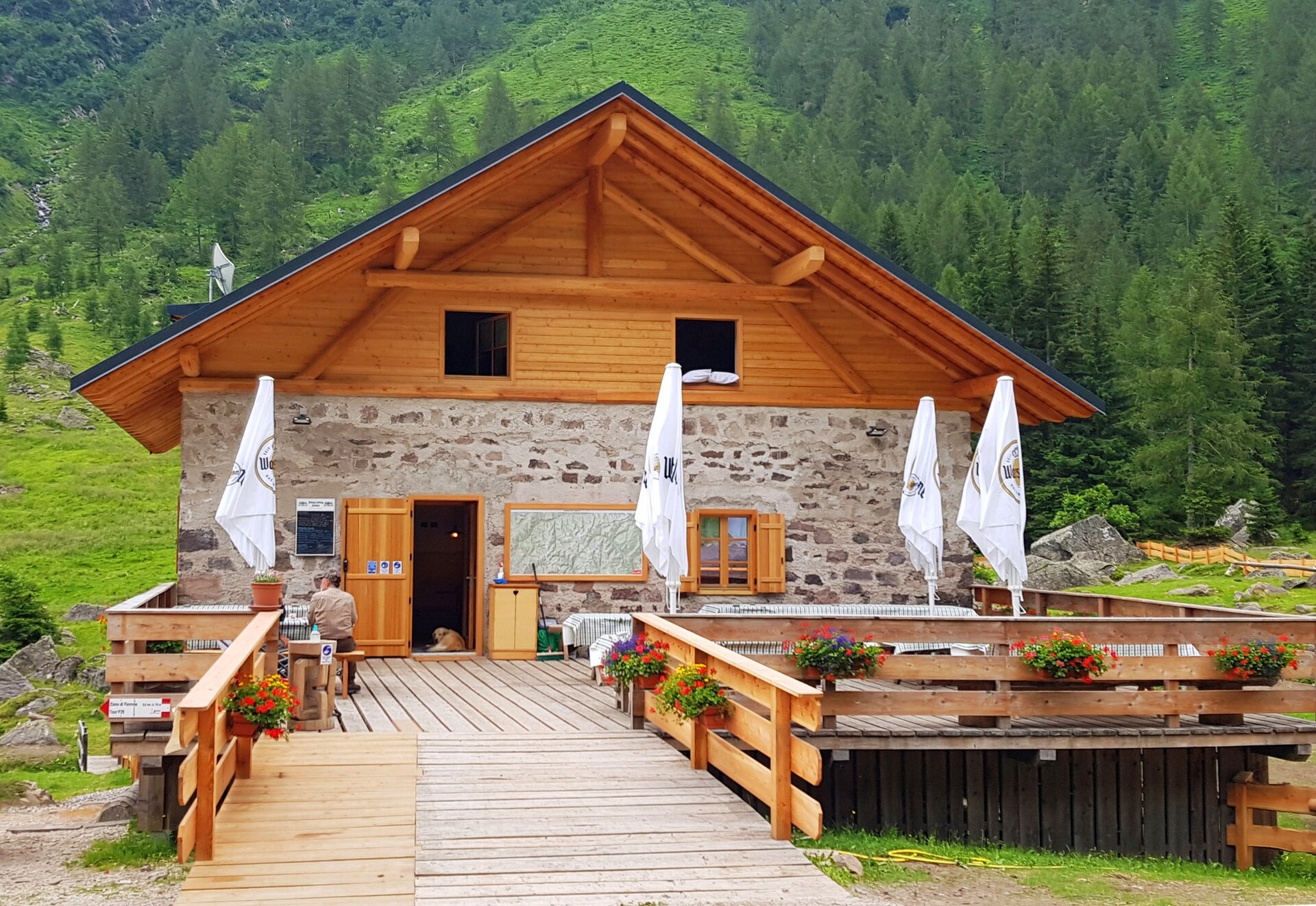
  • Refreshment stops available
  • Cultural/historical interest
  • Exposed sections
Suggested period
Jan
Feb
Mar
Apr
May
Jun
Jul
Aug
Sep
Oct
Nov
Dec

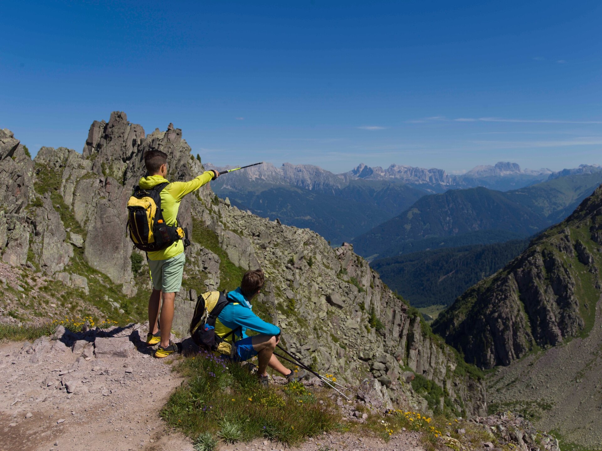
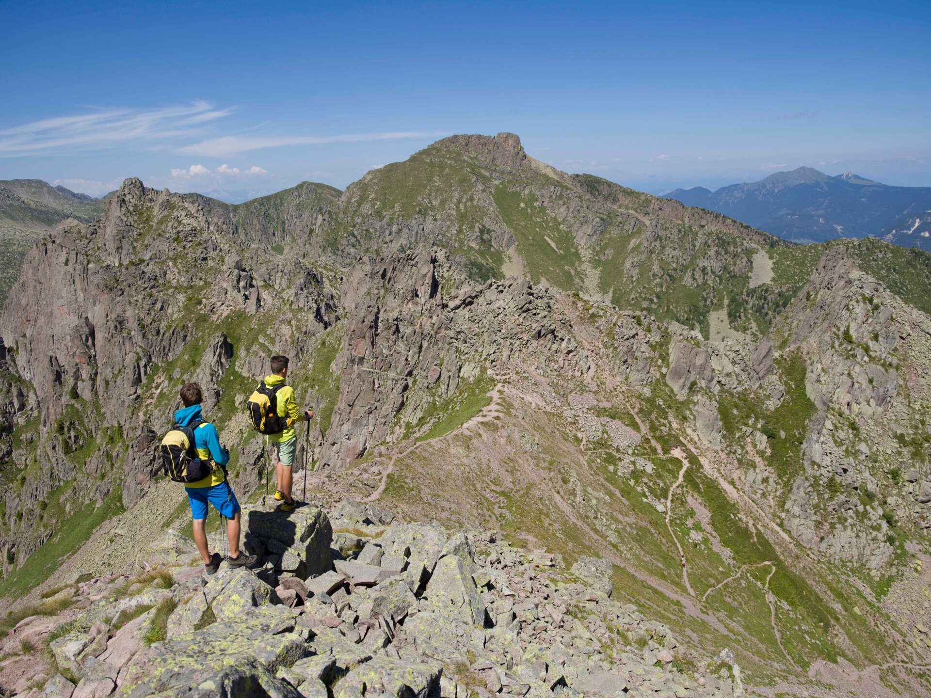
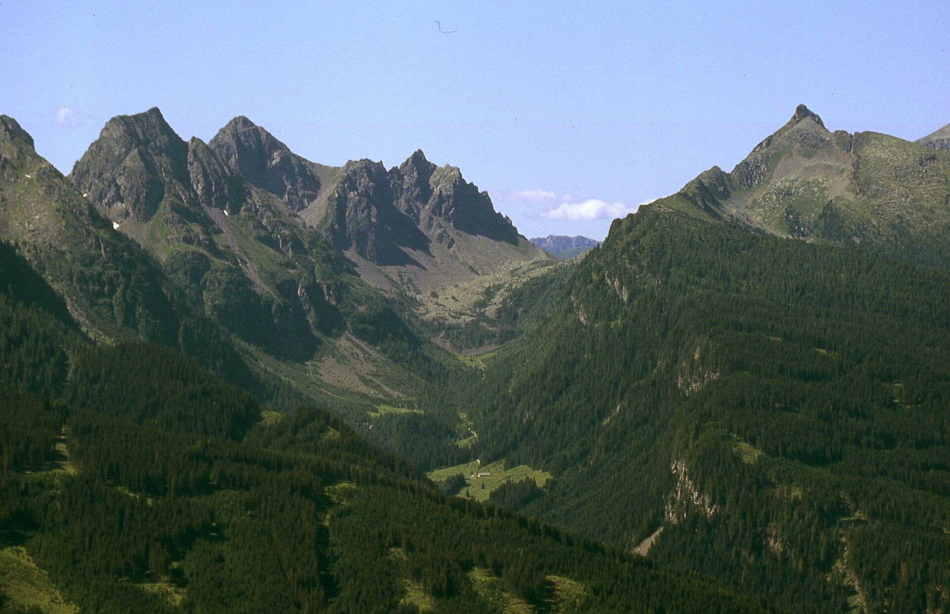
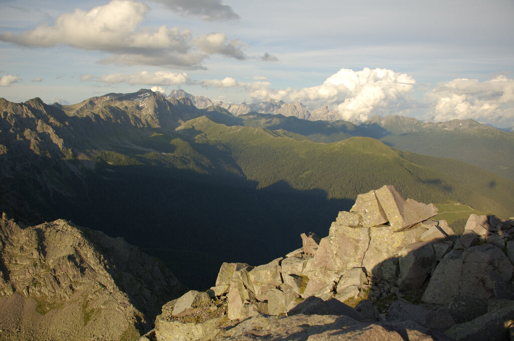
One of the paths that leads to know the remains of the Great War like trenches and barracks. You can also admire the superb panorama of the Fassa Dolomites, the Vanoi Valley and the Cima d’Asta peak.

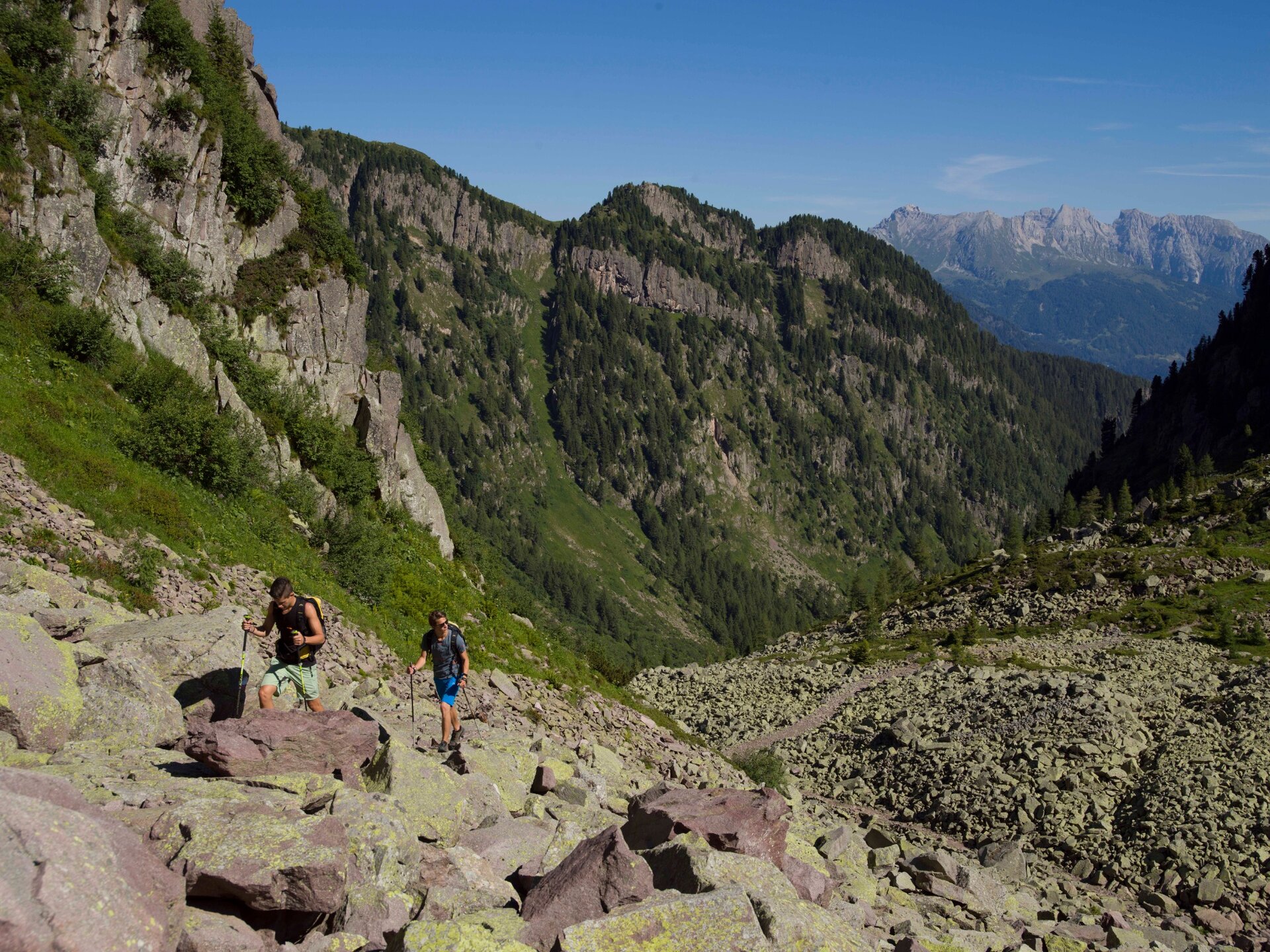
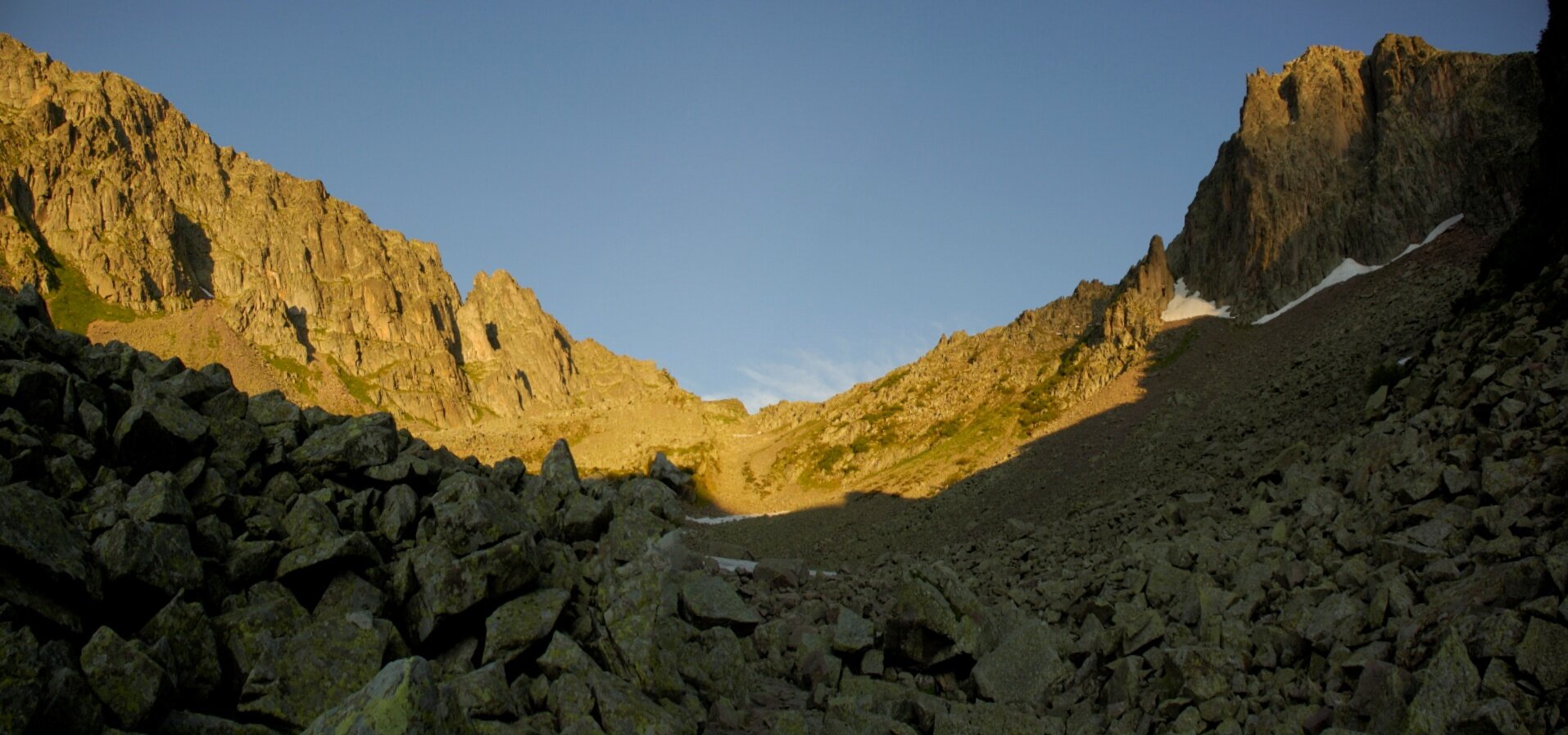
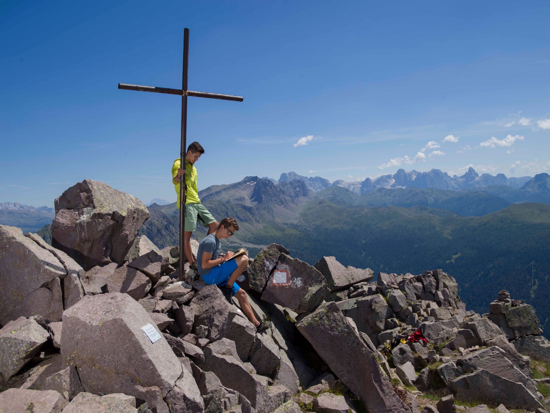
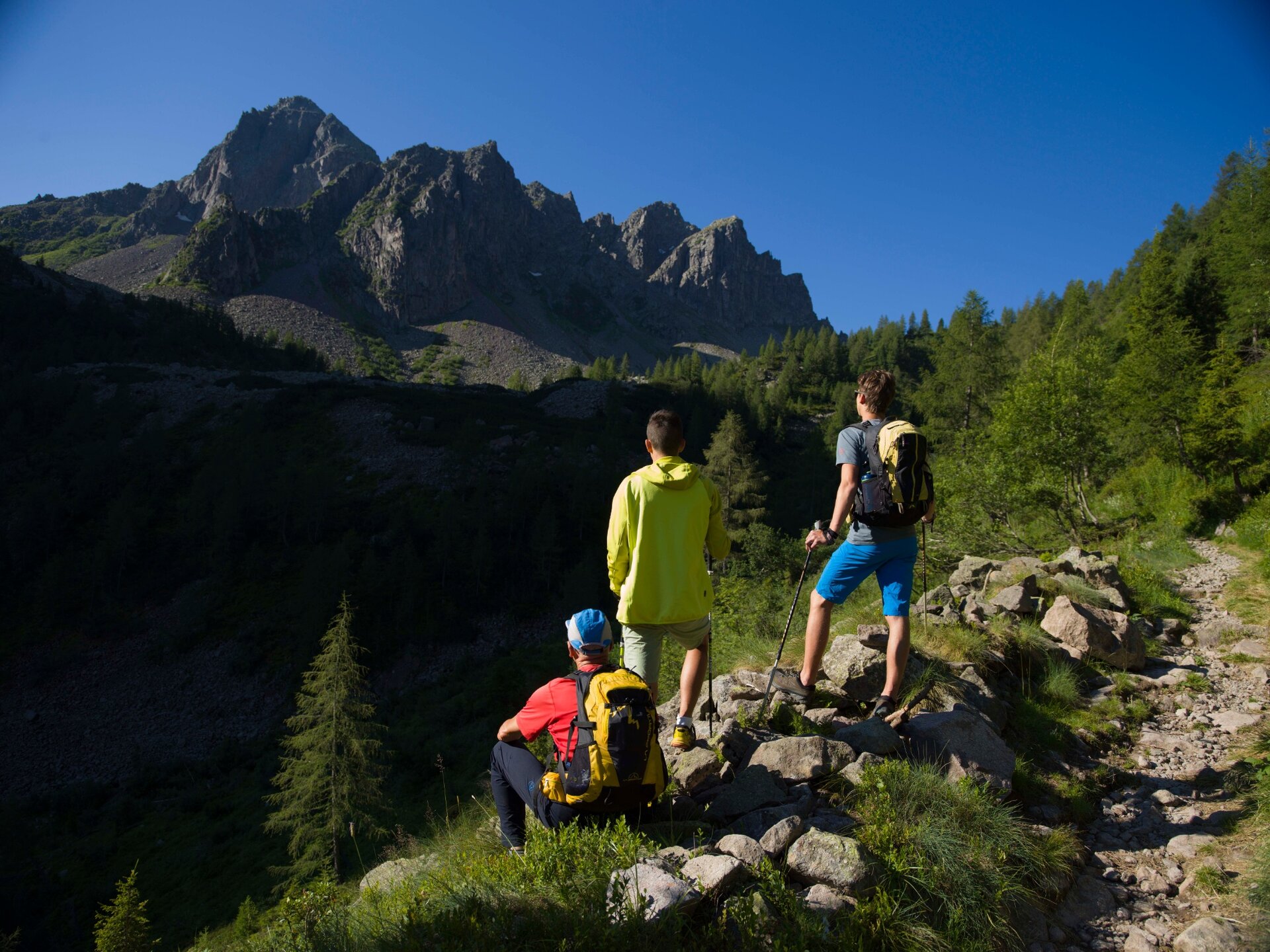
It was a very harsh winter in 1915, which saw the Italian and Austrian troops confront each other in the conquest of this symbolic peak. The bitter battles ended only in August 1916, leaving on its slopes galleries, wooden barracks, walkways, stone stairs, gunner posts, barbed wire and guard posts. It is on this historical heritage that the excursion along the "Via Austriaca" develops, a stony mule track sometimes ruined by the falling rocks over the years. The itinerary is quite demanding and long, at the beginning on roads that then become steep paths and passages on porphyritic rocks where you have to pay attention. The summit cross rises between the huge boulders and hollows created by the explosion of the bombs.

There is a source where to refuel water, immediately after Pian delle Maddalene, at an altitude of 1800 meters.

For the more experienced we recommend to reache Passo Sadole, follow the signs for the Italian way and, after reaching the top, descend on the Austrian way.
Gallery
Further information and useful links

APT Val di Fiemme - Tel. +39 0462 241111 - info@visitfiemme.it - www.visitfiemme.it   

Categories
  • Mountain tour
Tags
  • Scenic
  • Summit route
  • Out and back
  • Refreshment stops available
  • Cultural/historical interest
  • Exposed sections
Route data
Difficult
Distance
14,5 km
Duration
6 h 00 min
Ascent
990 m
Decent
990 m
Physical condition
Scenary
Highest point
2.434 m
Lowest point
1.497 m
Suggestions

To fully appreciate the excursion and the historical heritage it preserves, it would be advisable to read up on the war events in this area in advance.

You might be interested in
Discover related tours
Almost at the summit | © A. Campanile, APT Fiemme Cembra
Difficult
Predazzo
Cima Bocche
Distance 16,7 km
Duration 6 h 30 min
Ascent 960 m
Decent 960 m
The large and spectacular larch forest located at Prà del Manz | © Maurizio Fernetti, Rete di Riserve Val di Cembra Avisio
Easy
Capriana
Round tour of the larch trees of Prà del Manz
Distance 6,9 km
Duration 2 h 20 min
Ascent 225 m
Decent 225 m
Status
open
View of Schwarzhorn | © G. Panozzo, APT Fiemme Cembra
Difficult
Ville di Fiemme
The chromatic contrast of Corno Nero and Corno Bianco
Distance 12,6 km
Duration 6 h 00 min
Ascent 950 m
Decent 950 m
© Andrea Monticelli, APT Trento
Intermediate
Cembra, Lisignago, Faver, Grauno, Grumes, Valda, Segonzano
On the European path E5 with taste
Distance 11,7 km
Duration 5 h 25 min
Ascent 668 m
Decent 671 m
Lac del Vedes, one of the most beautiful peat bogs in Trentino | © Stefano Campo, Rete di Riserve Val di Cembra Avisio
Easy
Faver, Grauno, Grumes, Valda
Lac del Vedes, treasure chest of biodiversity
Distance 14,6 km
Duration 6 h 00 min
Ascent 700 m
Decent 700 m
Status
open
Cece Spitze | © G. Zanon, APT Fiemme Cembra
Difficult
Predazzo
Translagorai - Stage 4
Distance 15,0 km
Duration 7 h 00 min
Ascent 1.000 m
Decent 1.240 m