To the navigation Skip to main content To the footer
Top

Excursion to Lake Valda - from Ponciach

Faver, Grauno, Grumes, Valda
Difficulty
Intermediate
Duration
4:30
in hours
Distance
9.8
in km
Status
open
Categories
  • Mountain tour
Tags
  • Scenic
  • Round trip
  • Flora
Suggested period
Jan
Feb
Mar
Apr
May
Jun
Jul
Aug
Sep
Oct
Nov
Dec
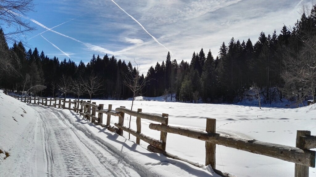
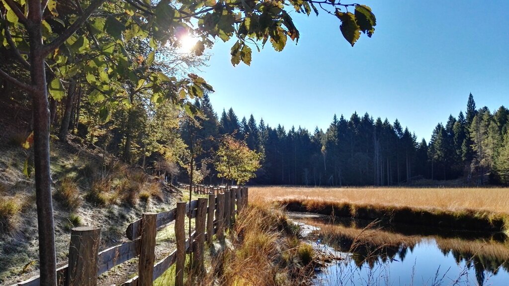
A pleasant route from Ponciach to the peat bog of Lake Valda, with a flight over the Adige Valley.

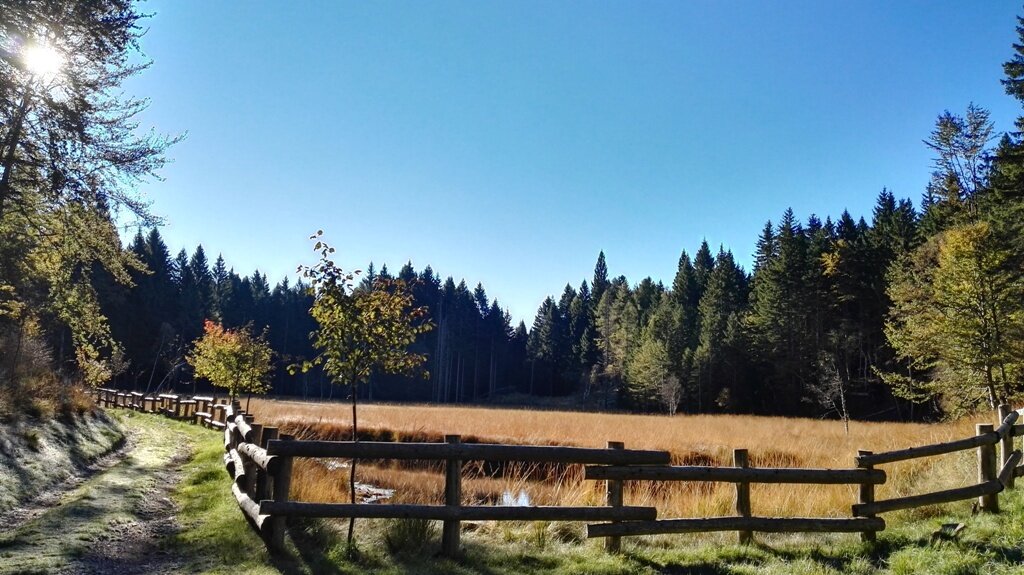
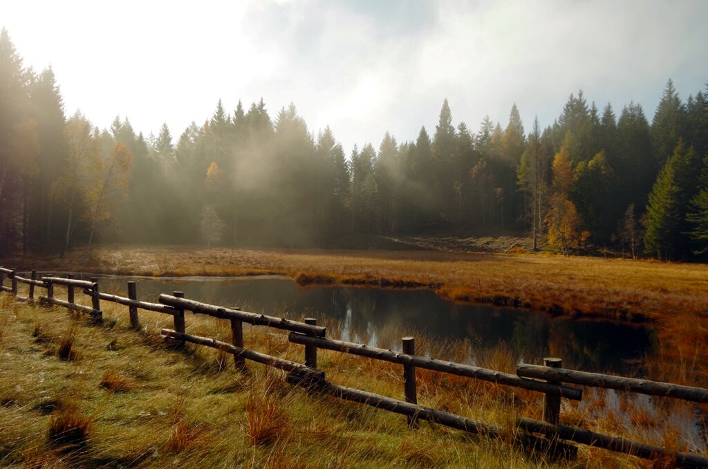
The itinerary takes us from the hamlet of Ponciach to make a circular route around Mount Faver, seeing its two faces: one facing the Cembra Valley, the other towards the Adige Valley. Along the route, numerous mountain huts are encountered, once shelters for people and animals during haymaking time. The route touches the peat bog of Lake Valda, included within the Monte Meadows Provincial Reserve, one of the most important and evocative protected areas of the Val di Cembra Avisio Network of Reserves.

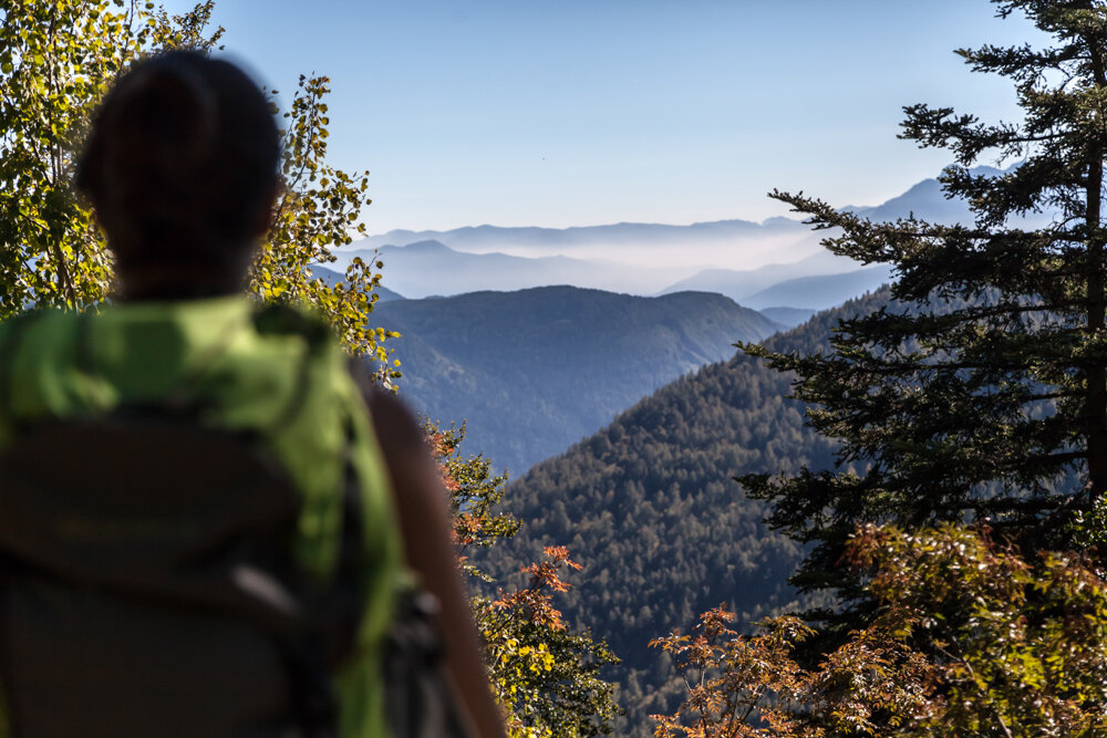
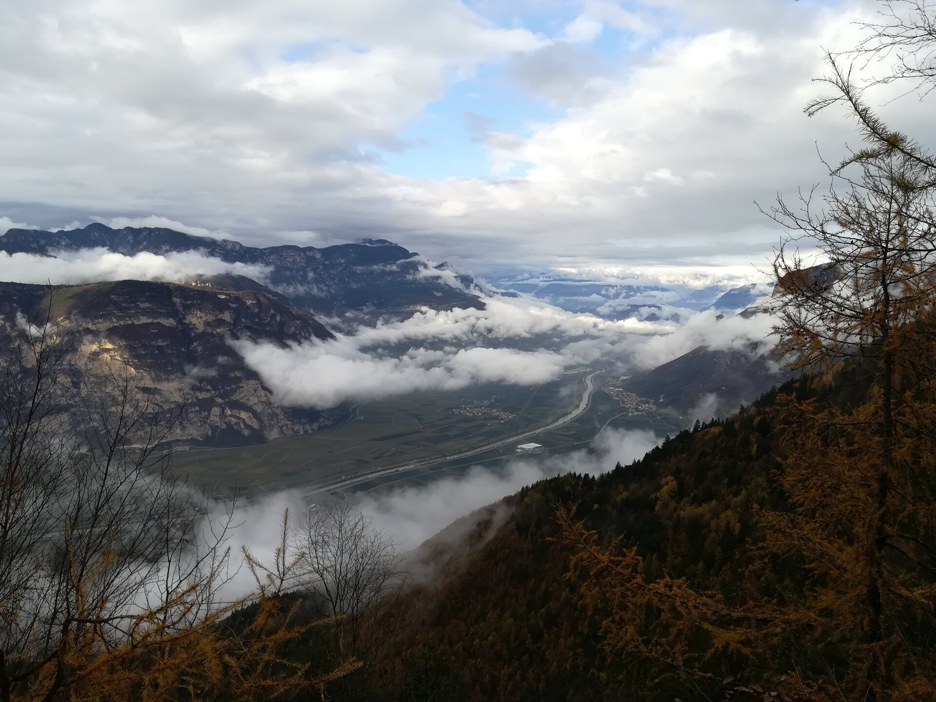
On the way back, the path runs along the cliff overlooking the Adige Valley, offering wide and unexpected views.
Gallery
Further information and useful links

Alta Val di Cembra-Avisio Network of Reserves

www.reteriservevaldicembra.tn.it

Visit Trentino

www.visittrentino.info

Meteotrentino

www.meteotrentino.it

Categories
  • Mountain tour
Tags
  • Scenic
  • Round trip
  • Flora
Route data
Intermediate
Distance
9,8 km
Duration
4 h 30 min
Ascent
500 m
Decent
500 m
Physical condition
Scenary
Highest point
1.417 m
Lowest point
1.011 m
Suggestions
At the end of the route we recommend trying the potato focaccia, a specialty offered by the Gens Paolazzi farmhouse in Ponciach.
You might be interested in
Discover related tours
New trees grow wild near felled plants | © B. Crosignani, APT Fiemme Cembra
Ville di Fiemme
Route "The Resilient Forest of Storm Vaia"
Distance 2,9 km
Duration 1 h 00 min
Ascent 130 m
Decent 130 m
The route around Monte Pincaldo is suitable for those who want to practice Nordic Walking | © Sara Zucal, Rete di Riserve Val di Cembra Avisio
Easy
Faver, Grauno, Grumes, Valda, Cembra, Lisignago
Round tour of the mountain Pincaldo in Faver
Distance 5,6 km
Duration 1 h 45 min
Ascent 290 m
Decent 290 m
Status
open
Sadole Pass - Panorama of Cardinal Spitze | © A. Campanile, APT Fiemme Cembra
Difficult
Panchià, Tesero, Ziano di Fiemme
Translagorai - Stage 2
Distance 12,2 km
Duration 5 h 00 min
Ascent 600 m
Decent 1.250 m
© Andrea Monticelli, APT Trento
Intermediate
Cembra, Lisignago, Faver, Grauno, Grumes, Valda, Segonzano
On the European path E5 with taste
Distance 11,7 km
Duration 5 h 25 min
Ascent 668 m
Decent 671 m
Val Venegia - At the foot of the Pale di San Martino Dolomites | © Staff Outdoor Val di Fiemme, Trentino Marketing
Intermediate
Predazzo
The amazing Val Venegia
Distance 12,3 km
Duration 4 h 30 min
Ascent 500 m
Decent 500 m
Status
closed
Panorama of the countryside of Segonzano and the Val di Cembra | © Elisa Travaglia, Rete di Riserve Val di Cembra Avisio
Easy
Segonzano
Segonzano castle and the Prà canyon
Distance 6,1 km
Duration 3 h 30 min
Ascent 190 m
Decent 186 m