SearchWebcamWeatherLifts
Top

Gravel Tour - Latemar and Lake Carezza

Predazzo, Panchià, Ziano di Fiemme, Tesero
Category
Difficulty
Difficult
Duration
6:25
in hours
Distance
57.2
in km
Suggested period
Jan
Feb
Mar
Apr
May
Jun
Jul
Aug
Sep
Oct
Nov
Dec

The most classic among the bike routes in Val di Fiemme. A circular itinerary around the Latemar massif with a stop at the enchanting Lake Carezza.

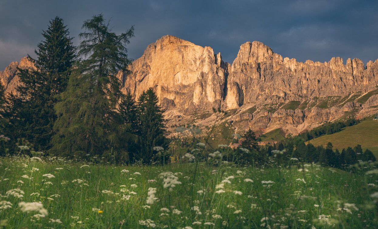
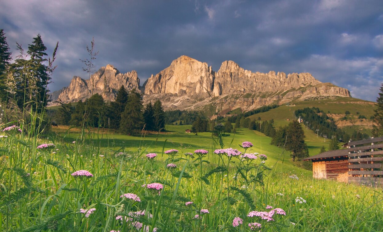
A must, an icon, definitely one of the top 10 gravel routes in the Dolomites. Unmistakable landscapes follow one after another with every pedal stroke. The Dolomites of Latemar, Catinaccio, Sciliar, Corno Bianco, and the Pale di San Martino. The intense colors of Lake Carezza, a blue pearl embraced by the green of fir trees reflected in its calm waters. 
Further information and useful links

APT Val di Fiemme - Tel. +39 0462 241111 - info@visitfiemme.itwww.visitfiemme.it      

Tags
  • Scenic
  • Geological highlights
  • Insider tip
  • Round trip
  • Refreshment stops available
Route data
Difficult
Distance
57,2 km
Duration
6 h 25 min
Ascent
1.616 m
Decent
1.607 m
Technical skills
Physical condition
Scenary
Highest point
2.004 m
Lowest point
953 m
Suggestions

Numerous refreshment points along the route 

Safety guidelines

IMPORTANT

Traffic on all routes is two-way; always pay attention to passing vehicles and the presence of people. The routes are not exclusively for bicycles. Following the Vaia storm (October 2018), forest roads are used by heavy vehicles for timber work and transport.

CODE OF CONDUCT FOR SUSTAINABLE BIKING     

  1. Plan your outing
  2. Always give way to hikers on foot
  3. Respect traffic signs, stop at traffic lights, and do not ride against traffic
  4. Never leave marked routes, do not ride on closed trails
  5. Respect nature, the trail, plants, and animals
  6. Do not litter
  7. Respect public and private property
  8. Do not travel alone in isolated areas  

ALWAYS WEAR A HELMET!

The information contained in this sheet is subject to unavoidable changes; therefore, no indication has absolute value. It is not possible to completely avoid inaccuracies or errors considering the rapidity of environmental or meteorological changes that may occur. For this reason, we disclaim any responsibility for changes experienced by the user. It is recommended, however, to check the condition of the places and environmental or weather conditions before going on an excursion. 

The passability of routes in a mountain environment is strictly linked to contingent conditions and thus depends on natural phenomena, environmental changes, and weather conditions. Therefore, the information contained in this sheet may have changed. Before leaving, inquire about the trail status by contacting valley tourist offices.

Starting point
Predazzo
Directions

Starting from the center of Predazzo, warm up by cycling on the bike path towards Moena. From here, you ascend on the dirt road until you reach Passo Costalunga. The view of the imposing cliffs rewards the climb's elevation gain. From the pass, descend towards Lake Carezza, and once you have bypassed it, continue on an almost flat forest road to Bewallerhof. From here, a path also suitable for bicycles leads to Obereggen and subsequently to Passo Pampeago, the highest point of the entire route. From here begins a long descent, partly on asphalt and then on dirt, following the signs for MTB route 928. Upon reaching Stava, continue the descent on asphalt and then take another dirt road that leads to Panchià and Ziano di Fiemme. A final climb on the foothills of Mount Pizancae brings you back to the starting point. For those in a hurry at Ziano di Fiemme, we recommend reaching Predazzo directly via the SS48 state road.

It is recommended to download the gpx track of the route and follow it on your smartphone.

public transportation

Predazzo is reachable by public transport from Trentino Trasporti

How to get there

Predazzo is located on the SS48 Dolomites state road

Where to park

Numerous parking spots near the sports field and biolake, or at the bus station.

What to bring with you during a bike excursion?     

  • adequate water supply based on your needs (consider temperature, availability of refills, duration of the route)
  • snacks (for example, dried fruit or bars)
  • windproof and rainproof jacket
  • spare jersey and socks
  • sunscreen
  • sunglasses
  • bike gloves
  • map or GPS device
  • first aid kit
  • bike repair kit to fix mechanical issues 

Always let someone know your destination and how long you plan to be gone.

The emergency number is 112

You might be interested in
Discover related tours
Gravel bike in Val di Fiemme | © G. Panozzo, APT Fiemme Cembra
Intermediate
Ville di Fiemme, Capriana, Cavalese, Castello-Molina di Fiemme
Gravel Tour - Larch Route
Distance 51,6 km
Duration 4 h 55 min
Ascent 1.168 m
Decent 1.168 m
Gravel bike in Val di Fiemme | © G. Panozzo, APT Fiemme Cembra
Intermediate
Predazzo, Ville di Fiemme, Cavalese, Panchià, Ziano di Fiemme, Capriana, Castello-Molina di Fiemme, Tesero
Gravel Tour - Val di Fiemme
Distance 52,4 km
Duration 5 h 00 min
Ascent 1.026 m
Decent 1.033 m
Gravel bike in Canvere | © J. Fuller, APT Fiemme Cembra
Difficult
Predazzo
Gravel Tour - Viezzena Circuit
Distance 51,2 km
Duration 5 h 10 min
Ascent 1.371 m
Decent 1.371 m
Difficult
Predazzo
Gravel ATA
Distance 88,0 km
Duration 8 h 40 min
Ascent 2.519 m
Decent 2.519 m
© G. Panozzo, APT Fiemme Cembra
Intermediate
Cembra, Lisignago, Giovo
Gravel Tour - Lower Cembra Valley
Distance 31,3 km
Duration 4 h 30 min
Ascent 1.121 m
Decent 1.126 m
Gravel bike in Val Venegia | © J. Fuller, APT Fiemme Cembra
Difficult
Predazzo
Gravel route - The suspension bridge and Val Venegia
Distance 49,5 km
Duration 5 h 15 min
Ascent 1.463 m
Decent 1.463 m