To the navigation Skip to main content To the footer
Top

Lake Valda, high altitude peat bog

Faver, Grauno, Grumes, Valda
Difficulty
Intermediate
Duration
4:30
in hours
Distance
11.4
in km
Categories
  • Hiking trail
Tags
  • Round trip

From the village of Valda to the large peat bog, ascending through unique environments and unexpected landscapes

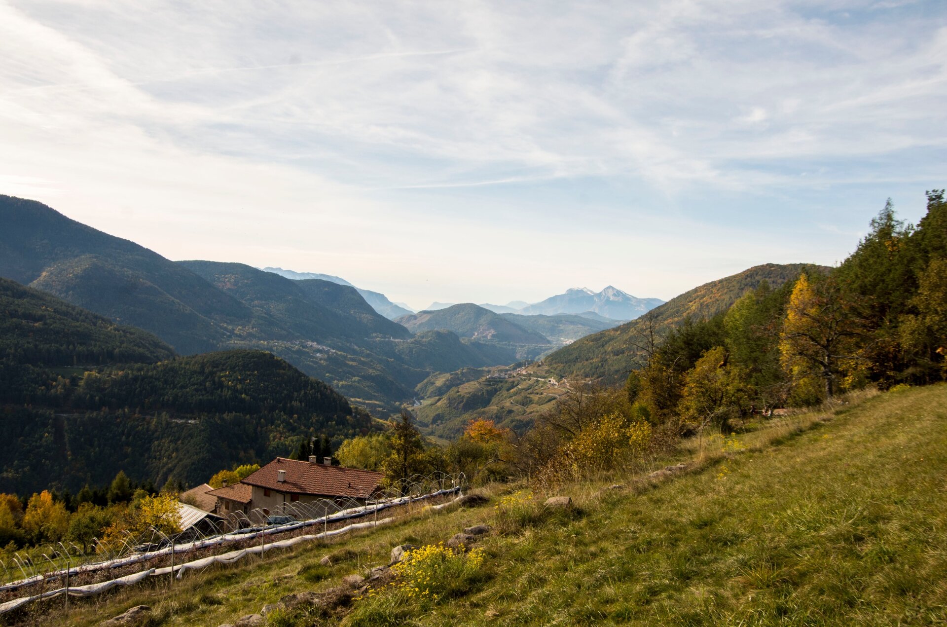
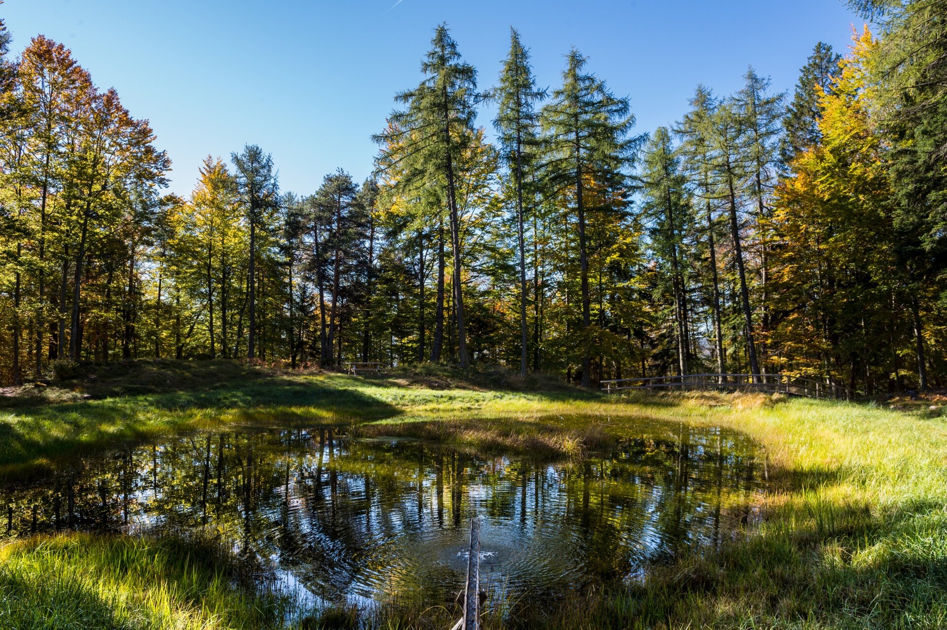
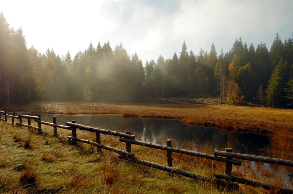
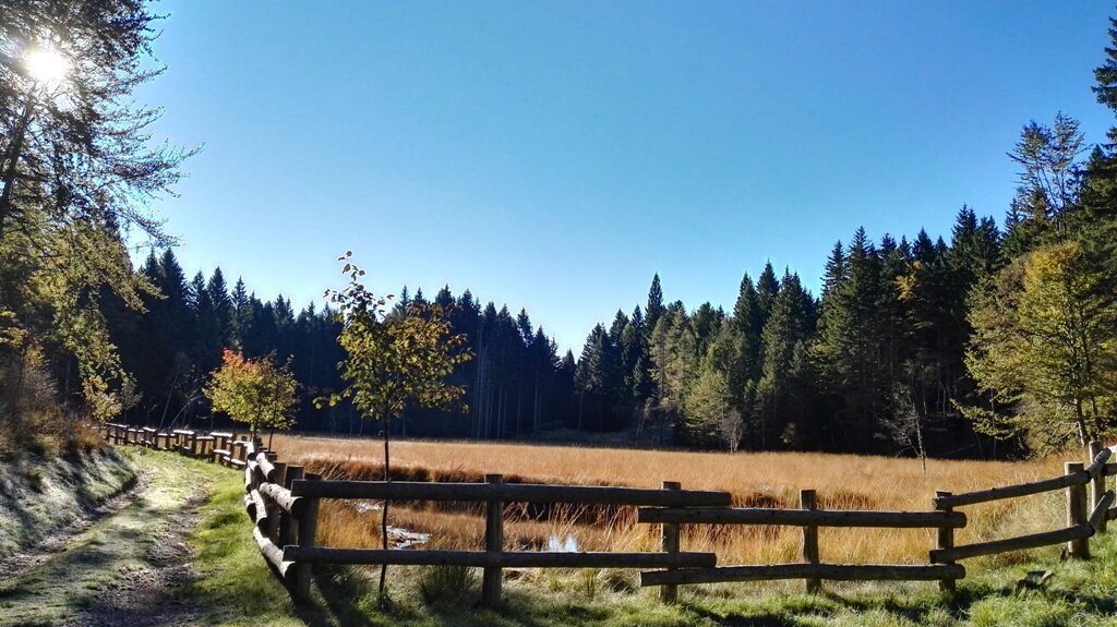
The itinerary takes us from the village of Valda (Altavalle) to the characteristic hamlet of Bornie and then to the peat bog of Lake Valda, located within the Provincial Reserve Prati di Monte: one of the most important and suggestive protected areas of the Val di Cembra Avisio Reserve Network.

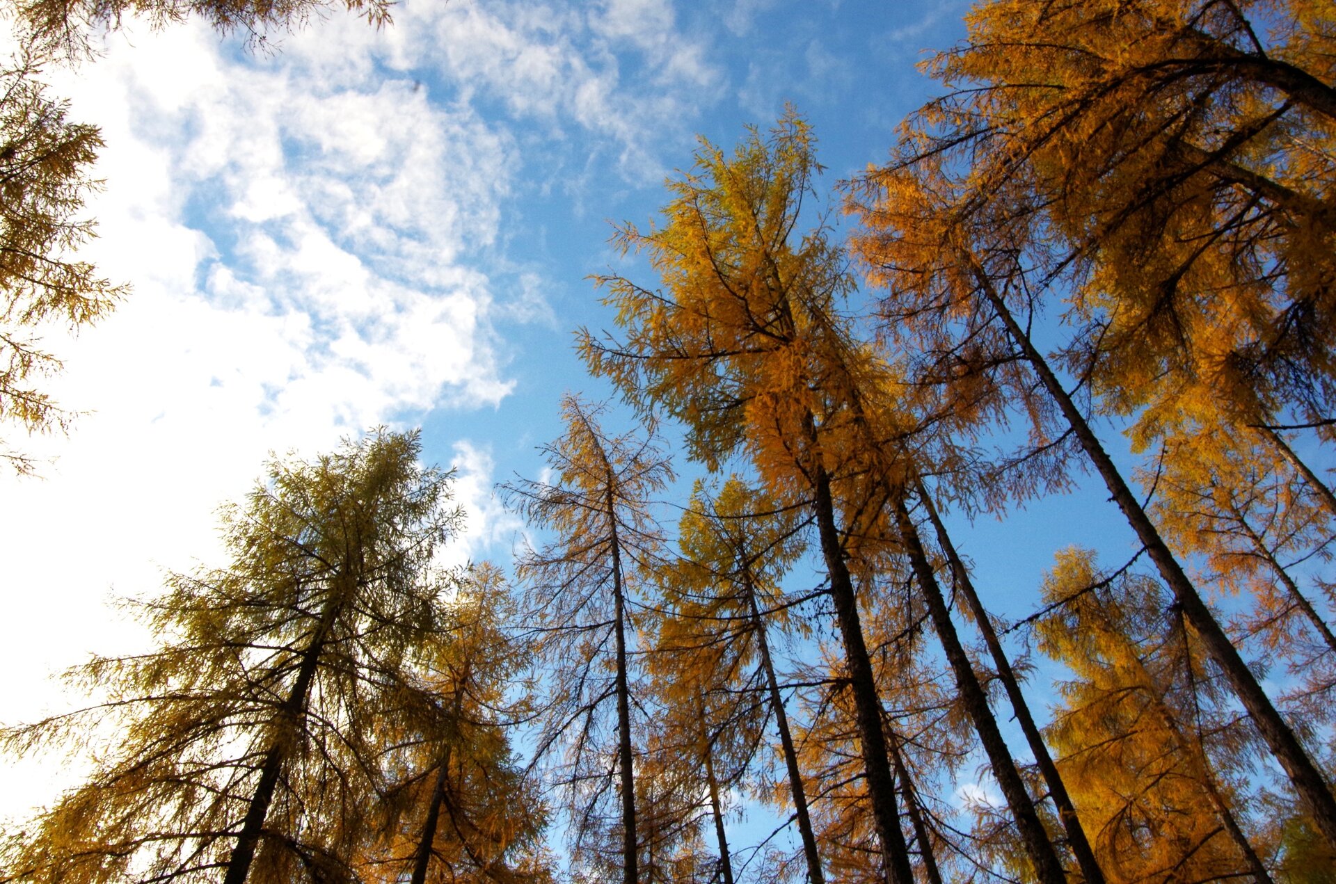
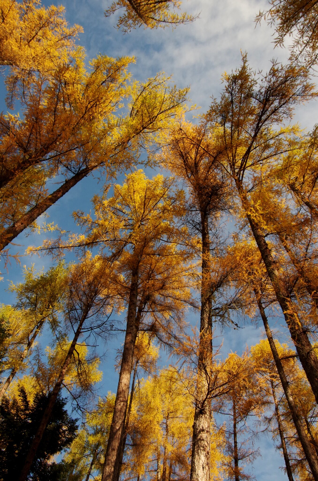
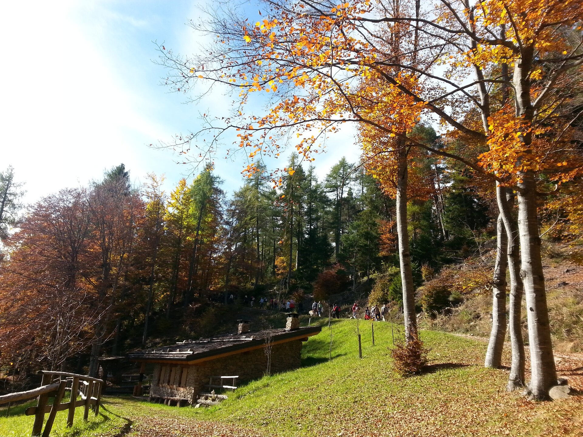
Along the route is a succession of valuable environments: from meadows rich in species around Bornie to sparse larch forests used as pasture areas and resin source, from small water mirrors to peatlands at altitude.

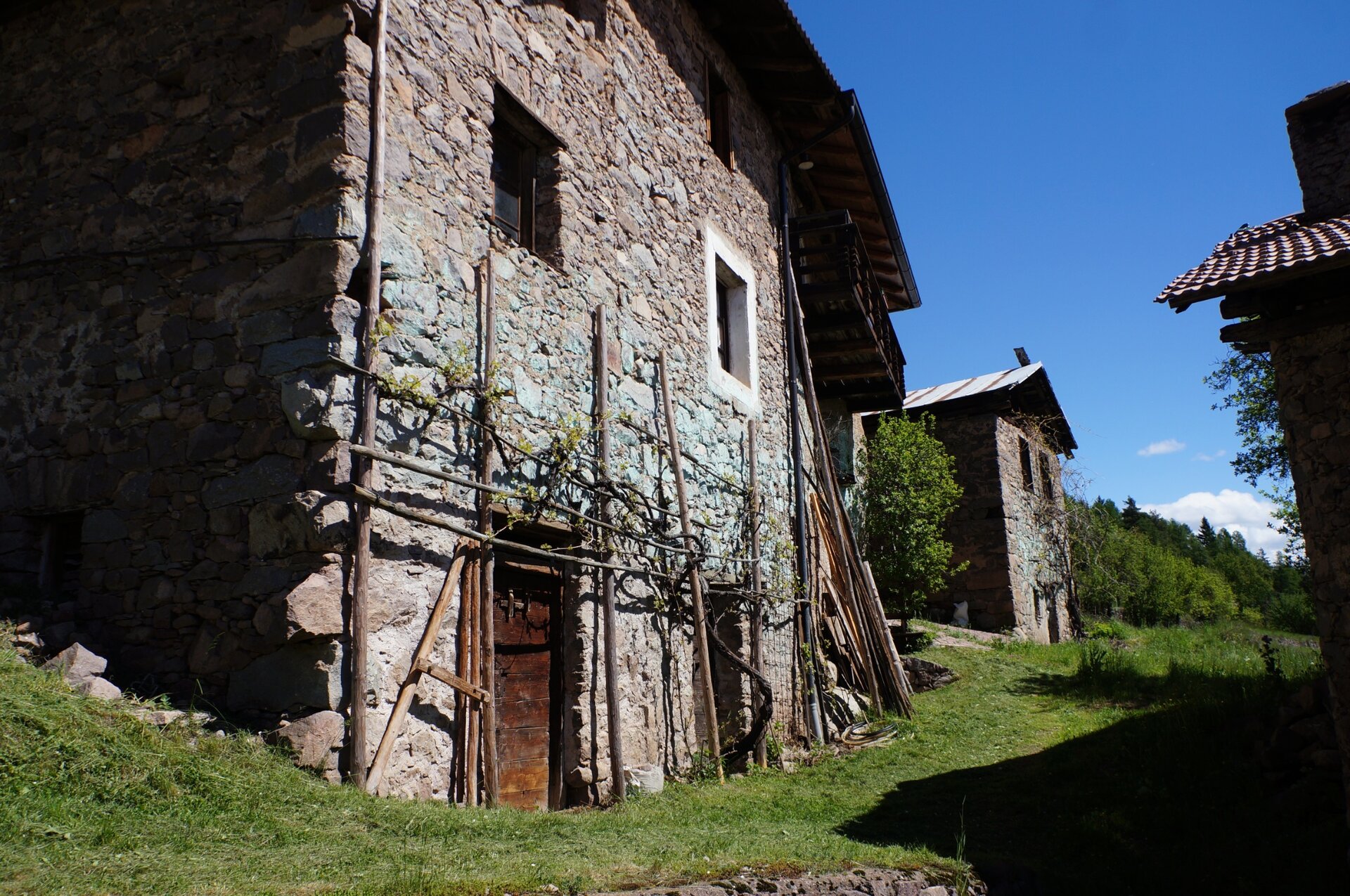
To reach Lake Valda we ascend behind the church of Valda and head towards the small hamlet of Bornie, where wide meadows with a small cluster of ancient rural houses at the center welcome us. We can decide to enter and visit the hamlet or continue (it can be visited on the return) following the signs to the locality Noval - Lake Valda. Once the peat bog of Lake Valda is reached, an habitat of great naturalistic value, we continue following the signs to Ponciach until after a few kilometers, we find directions for the lovara and Bornie.

Along the return path we can observe two very interesting historical structures: the lovara, the ancient trap used to catch wolves; and a lime kiln right near the hamlet: an ancient furnace for producing lime.
Gallery
Categories
  • Hiking trail
Tags
  • Round trip
Route data
Intermediate
Distance
11,4 km
Duration
4 h 30 min
Ascent
650 m
Decent
650 m
Physical condition
Highest point
1.417 m
Lowest point
768 m
You might be interested in
Discover related tours
© Sara Zucal, Rete di Riserve Val di Cembra Avisio
Easy
Cembra, Lisignago
Lago Santo
Distance 1,1 km
Duration 20 min
Ascent 10 m
Decent 10 m
© Sara Zucal, Rete di Riserve Val di Cembra Avisio
Difficult
Lona-Lases, Segonzano, Cembra, Lisignago
Lisignago - Segonzano, Cammino delle Terre Sospese
Distance 15,0 km
Duration 5 h 30 min
Ascent 798 m
Decent 646 m
Alpine meadows | © Staff Outdoor Val di Fiemme, APT Fiemme Cembra
Easy
Ville di Fiemme
Easy walk to Malga Gurndin and Isi Hütte
Distance 6,9 km
Duration 2 h 00 min
Ascent 160 m
Decent 160 m
The waterfall of Predazzo | © D. Ragnes, APT Fiemme Cembra
Easy
Predazzo, Ziano di Fiemme
The waterfall of Predazzo
Distance 3,2 km
Duration 1 h 00 min
Ascent 134 m
Decent 134 m
© Rete di Riserve Val di Cembra Avisio
Intermediate
Sover
Pasture at the foot of Mt. Lagorai
Distance 11,0 km
Duration 4 h 30 min
Ascent 700 m
Decent 700 m
The little church of San Leonardo | © Elisa Travaglia, Rete di Riserve Val di Cembra Avisio
Easy
Giovo, Cembra, Lisignago
San Leonardo and the Lisignago countryside
Distance 4,4 km
Duration 2 h 00 min
Ascent 280 m
Decent 280 m