SearchWebcamWeatherLifts
Top

Larches tour of Prà del Manz

Capriana
Category
Difficulty
Easy
Duration
2:20
in hours
Distance
6.9
in km
Status
open
Suggested period
Jan
Feb
Mar
Apr
May
Jun
Jul
Aug
Sep
Oct
Nov
Dec
A circular route, a hike around the great larches of Capriana.
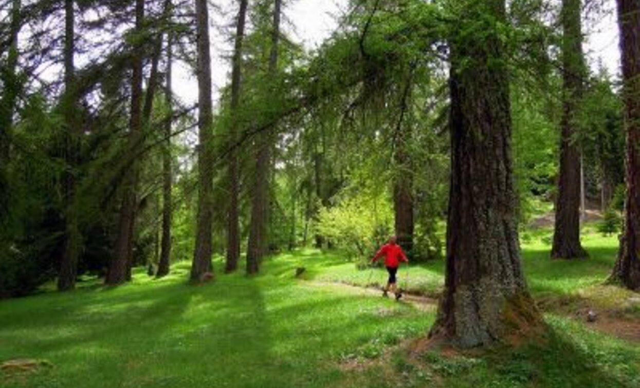
Starting from the Prà del Manz area, the itinerary climbs comfortably into a vast mixed forest of larches and Norway spruces. Among the surprises you can encounter along the route is a magnificent monumental white fir, the Pec del Bosnia, a tree that an old forest ranger decided to spare from cutting so it would remain a heritage for all. Along the route, it is the larches that dominate: humble and generous trees that, with their light crowns, allow grass to grow underneath, thus permitting livestock grazing.
Further information and useful links

Alta Val di Cembra-Avisio Reserve Network

www.reteriservevaldicembra.tn.it

Visit Trentino

www.visittrentino.info

Meteotrentino

www.meteotrentino.it

Tags
  • Round trip
Route data
Easy
Distance
6,9 km
Duration
2 h 20 min
Ascent
225 m
Decent
225 m
Physical condition
Scenary
Highest point
1.402 m
Lowest point
1.181 m
Suggestions

The route is short and suitable for a walk. In autumn the larches turn golden and give these places a special magic.

The route is well suited for those who want to combine walking with the practice of Nordic Walking (NW Tables “Peschiera Route”)

Safety guidelines

Although the route does not present particular technical difficulties or dangerous sections, we always recommend respecting the general safety rules for mountain excursions.

The information contained in this sheet is subject to unavoidable changes, so no indication has absolute value. It is not possible to completely avoid inaccuracies or errors due to the rapid environmental or weather changes that may occur. In this sense, we disclaim all responsibility for any changes experienced by the user. It is advisable, however, to check, before undertaking an excursion, the status of the places and the environmental or weather conditions.

  • Prepare your itinerary
  • Choose a route suitable to your fitness level
  • Choose appropriate equipment and gear
  • Consult weather forecasts
  • Starting alone is more risky
  • Leave information about your itinerary and approximate return time
  • Do not hesitate to rely on a professional
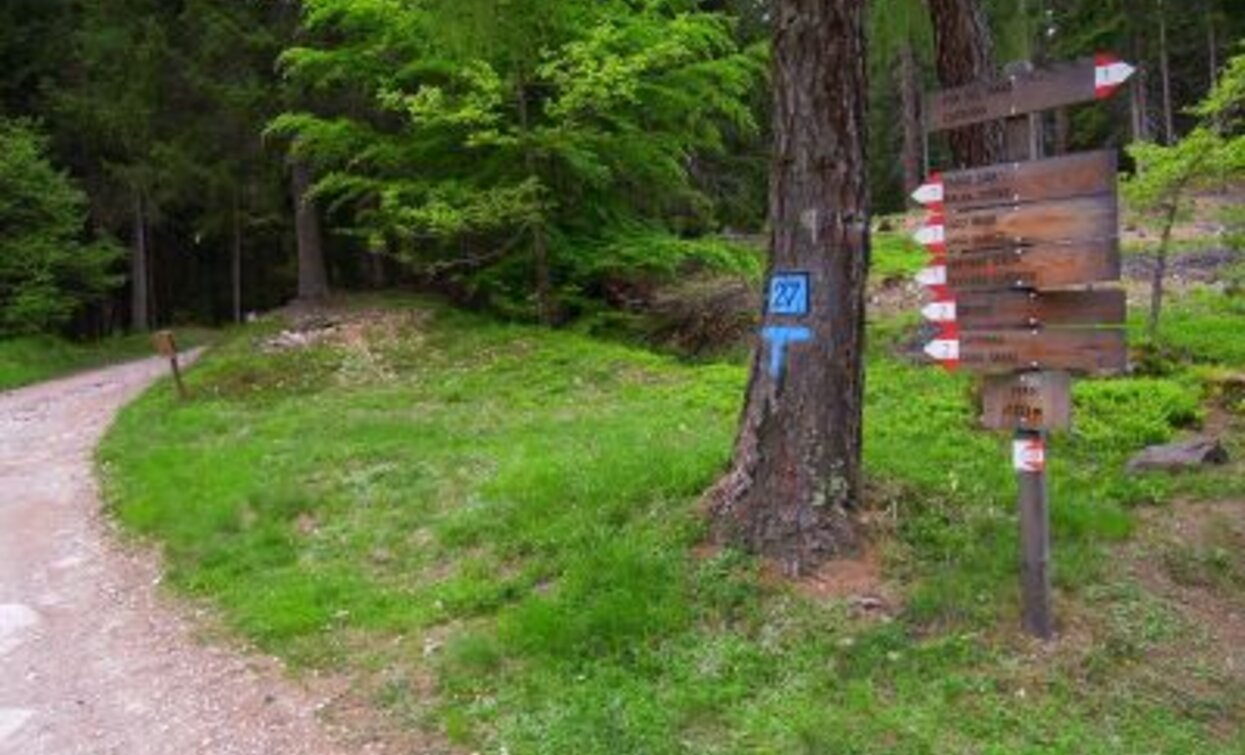
  • Pay attention to the signs and markings along the route
  • Do not hesitate to retrace your steps
  • In case of accident, call emergency number 112
Starting point
Prà del Manz (Capriana)
Directions
Starting from Prà del Manz the itinerary climbs to the Pradi, comfortably following trail no. 1. In the Peschiera area, turn left onto a beautiful, mostly flat forest road, encountering many remarkable trees including a magnificent monumental white fir. Going down to the left on trail no. 2, return along a comfortable forest road to the ancient and spectacular larch grove of the Pradi and finally back to Prà del Manz.
How to get there

For those coming from Trento, follow the SS.612 northbound to Capriana where, before entering the town, you will find signs to reach Prà del Manz.

For those coming from Val di Fiemme, follow the SS.612 southbound to Capriana where, before entering the town, you will find signs to reach Prà del Manz.

Where to park
Free parking at the square in the Prà del Manz area

Trekking shoes or mountain boots

Trekking poles

You might be interested in
Discover related tours
The peat bog of Lago Nero | © Alessandro Cristofoletti, Rete di Riserve Val di Cembra Avisio
Difficult
Capriana, Castello-Molina di Fiemme
The high altitude peat bogs of Monte Corno
Distance 14,9 km
Duration 5 h 00 min
Ascent 600 m
Decent 600 m
Status
open
Cima Cece | © Staff Outdoor Val di Fiemme, APT Fiemme Cembra
Intermediate
Predazzo
Cima Cece
Distance 15,7 km
Duration 8 h 00 min
Ascent 1.100 m
Decent 1.100 m
The Potzmauer refuge in winter version | © Sara Zucal, Rete di Riserve Val di Cembra Avisio
Easy
Faver, Grauno, Grumes, Valda
Hike to Rifugio Potzmauer - from Ponciach
Distance 13,1 km
Duration 5 h 45 min
Ascent 540 m
Decent 540 m
Status
open
Bait de le Vache | © N. Delvai, APT Fiemme Cembra
Intermediate
Predazzo
Monte Mulat
Distance 9,4 km
Duration 4 h 00 min
Ascent 900 m
Decent 900 m
Panorama of the countryside of Segonzano and the Val di Cembra | © Elisa Travaglia, Rete di Riserve Val di Cembra Avisio
Easy
Segonzano
The Castle of Segonzano and the Prà canyon
Distance 6,1 km
Duration 3 h 30 min
Ascent 190 m
Decent 186 m
Holy Lake | © D. Gardener, APT Fiemme Cembra
Easy
Faver, Grauno, Grumes, Valda, Cembra, Lisignago
From Cembra to Lago Santo
Distance 13,9 km
Duration 4 h 30 min
Ascent 804 m
Decent 804 m