Directions
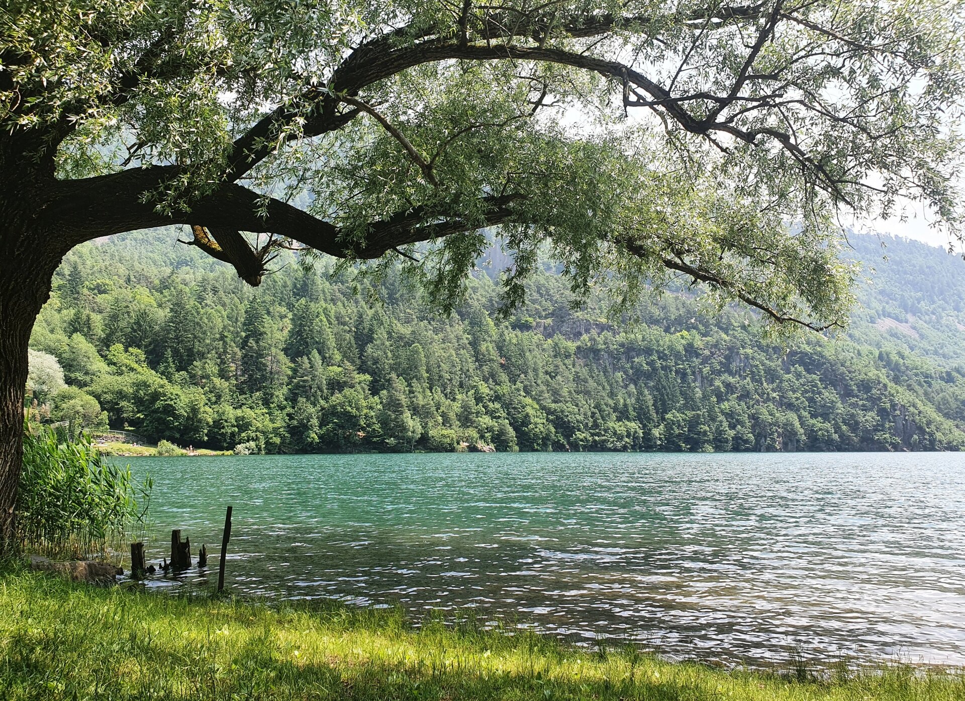
Start from the central square of Lona near the Albergo Dolomiti and continue along the sidewalk on the left side of the provincial road. At the traffic light, cross and continue left on the opposite sidewalk. At the end of the sidewalk, take a secondary road to the right, which then returns towards the provincial road and continue to the end of the sidewalk. From there, carefully cross the provincial road again and walk about 100 m on the left side until the junction with a paved farm road that you take to the left. From here continue keeping left along a flat wooded section until the road ends at a three-way junction. Proceed straight on a flat section that leads after a cobbled descent to a biotope (protected natural area). From here, a nice flat and very cool, shady forest road starts which leads to Palù Redont at 660 m above sea level, a round-shaped swampy site that was once a lake. Continuing after about 1 km, you reach a flat road to the first houses of Lases. Upon reaching the drinking fountain, turn immediately left on a path that leads to the homonymous lake with crystal-clear waters and grassy shores where a contemplative stop is recommended.
As a variant, you can, turning left, take the lake tour (about 2.5 km not to be missed).
To continue the classic route, take the path to the right and arrive at a grassy basin, where you face the crenellated wall of the villa von Ferrari Kellerhof with the gate that leads to the village center in the middle. Close to the bell tower, turn left until the junction with the provincial road and then continue along the sidewalk until the traffic light. From here, cross and take via Maseri and after about 150 m on the left via Rivi which leads outside the settlement. Here begins a stretch of about 1.3 km gently descending that follows the lower edge of the porphyry quarry area of Mount Gorsa and through now abandoned woods and fields leads to the locality of Giaon, where near a collapsing farmhouse we cross a paved country road. From here there is a nice view of the valley and in the distance the Brenta Dolomites group mountains can be seen. Continue left, first descending and then in a gentle ascent always on paved road for about 1.5 km to the foot of the town of Albiano.
At a three-way junction, take right on the bridge over the Ischion stream, where a votive shrine is present, and after a steep climb arrive at the town. At the top of the climb, at a fountain, take the narrow alley of the Forni straight ahead, overlooked by an arch, and after the characteristic bridge between two buildings, passing through a portico, reach the central Piazza De Gasperi. At the end on the left, a portico leads to two churches dedicated to S.Biagio, the oldest Gothic style dating back to 1529. After passing the Town Hall, you reach the long Via Roma, whose right sidewalk must be walked along its entire length until you reach the 17th-century chapel of S. Antonio. On the left side of the building, the imposing porphyry quarry of Mount Gaggio, still very active, can be spotted, while in the background you can still admire the Brenta Dolomites.
Then turn right and always descending along a paved country road you reach, through an ancient portico, the almost deserted and collapsing cluster of Barco di sopra. From here, you must still descend right passing next to the old schools and the mid-18th-century chapel dedicated to S. Romedio to reach the small village of Barco di Sotto.
Continue left uphill for about 300 m until, at the end of a vineyard, you must turn right descending on a dirt road, which crosses a long flat wooded stretch (1.8 km). Finally, you meet the Vallalta stream which can be easily ford and then walk along the gentle and winding climb that leads to the provincial road.
After carefully crossing it, continue in a steep climb until you meet the first fields and houses of Vigo. Here the route (strada dei Paludi) is paved again and almost flat until you reach a small square with a chapel from which various roads and paths depart.
Our route, from now almost always descending, continues along Via delle Oselere, right descending, and proceeds until the town of Vigo, a hamlet of the municipality of Trento.
After passing a parking lot and a school building, turn right descending along Via Coniugi Rosetti until you cross Via Perugini and continue uphill to the church square. On the left side of the bar take Via Bortolotti and after 50 m on the left Via dei Campi. After another 50 m, the route turns right in a steep descent into the countryside and after a short stretch emerges onto the main road. Cross and continue left on the sidewalk for a short stretch, then turn right again descending and after another 100 m again right after a gate in a steep descent on the path leading to the church dedicated to the Madonna of Caravaggio in the hamlet of Gazzadina. Continuing along the road on the right side of the church you reach the provincial road. Here you must cross at the zebra crossing and continue right along the sidewalk of Via del Porfido until you reach a roundabout. Always keep the sidewalk and turn left. From this point onwards, it is necessary to follow the signs and signals of trail SAT 472 towards S.Lazzaro – Lavis.
At the end of the sidewalk, continue right on the main road for about 80 m until you cross on the left trail 472 which climbs entrenched between two walls and vine fields. Having reached the top of the hill, descend into the forest and emerge atop a well-cultivated field from which you can admire the plain of the Adige valley dominated by Mount Paganella. Then you arrive at Maso Pasolli at 377 m above sea level and turn left. After about 30 m be very careful because you must turn right onto a dirt road and after another 30 m to the right of a concrete wall take the narrow descending trail 472 that leads to Lavis. Descend into the forest until the paved road from which you enjoy a nice panorama on the town of Lavis and turn left descending. At the bottom of the descent turn right towards a white house and on a steep descent, passing several staircases even attached to buildings, you reach the village of San Lazzaro near a bar placed on the left bank of the Avisio brook. After crossing the bridge (pònt de fer), you make the final steps of our route as you return to the starting point in the town of Lavis.