To the navigation Skip to main content To the footer
Top

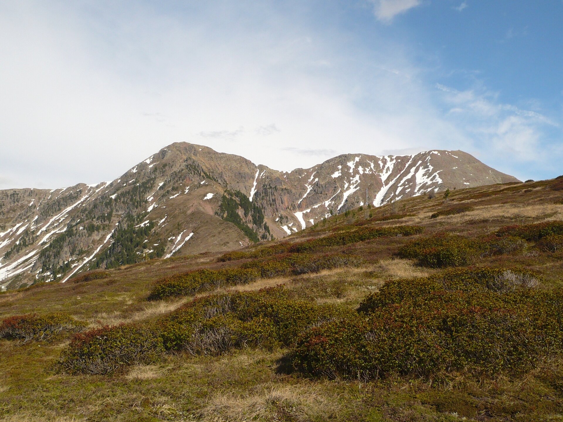
Pasture at the foot of Mt. Lagorai

Sover
Difficulty
Intermediate
Duration
4:30
in hours
Distance
11
in km
Categories
  • Hiking trail
Tags
  • Scenic
  • Summit route
  • Round trip
Suggested period
Jan
Feb
Mar
Apr
May
Jun
Jul
Aug
Sep
Oct
Nov
Dec

An itinerary through high altitude forests, alpine pastures and small mountain dairies nestled against Mt. Lagorai

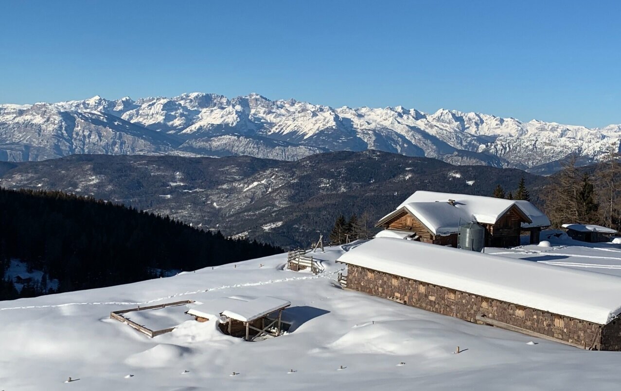
This itinerary is suitable for hot summer days and snowshoe trips in winter as it starts at an altitude of just under 1500 metres from Baita Monte Pat and ends at over 2000 metres at Mt. Cogne.

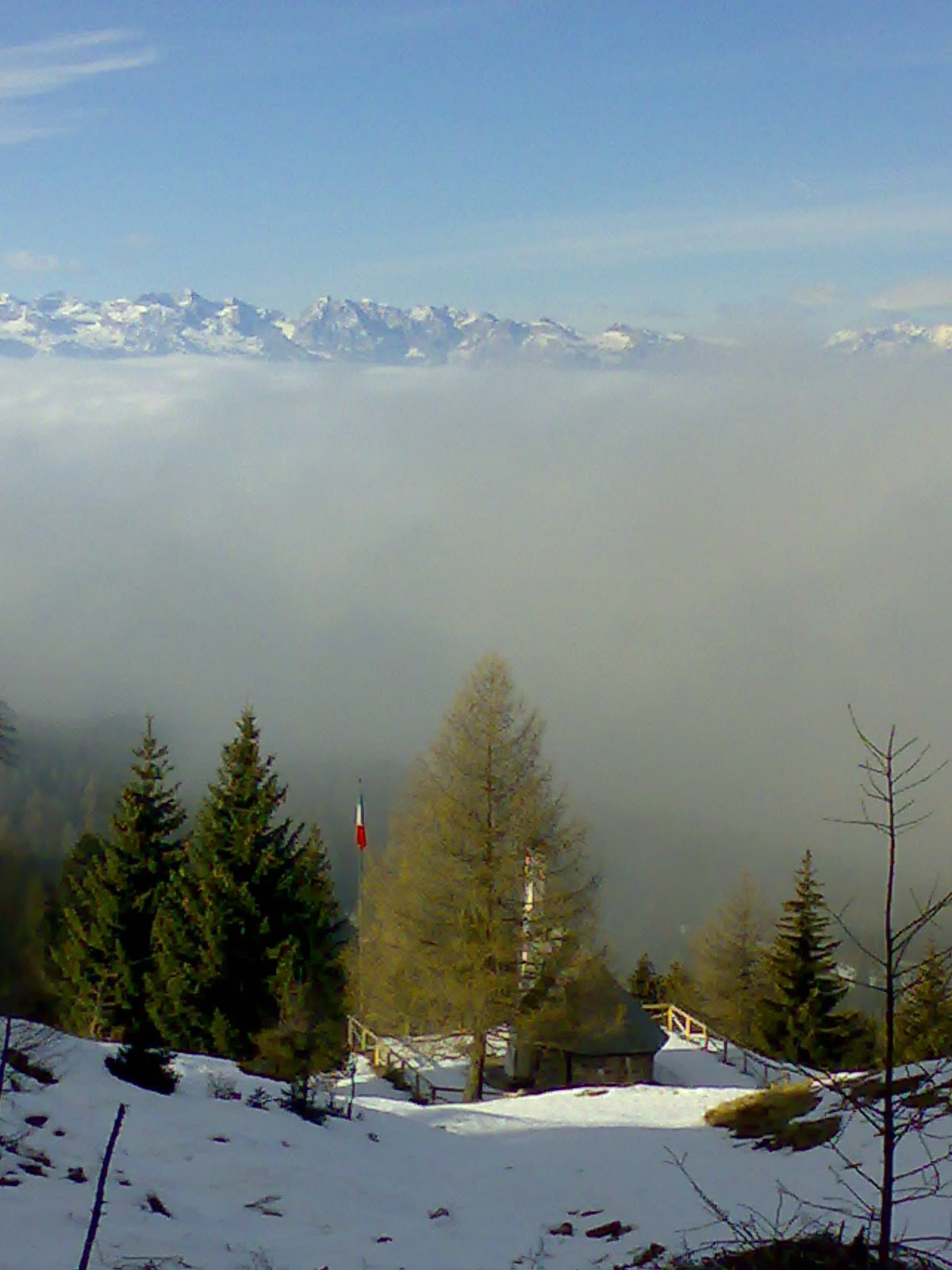
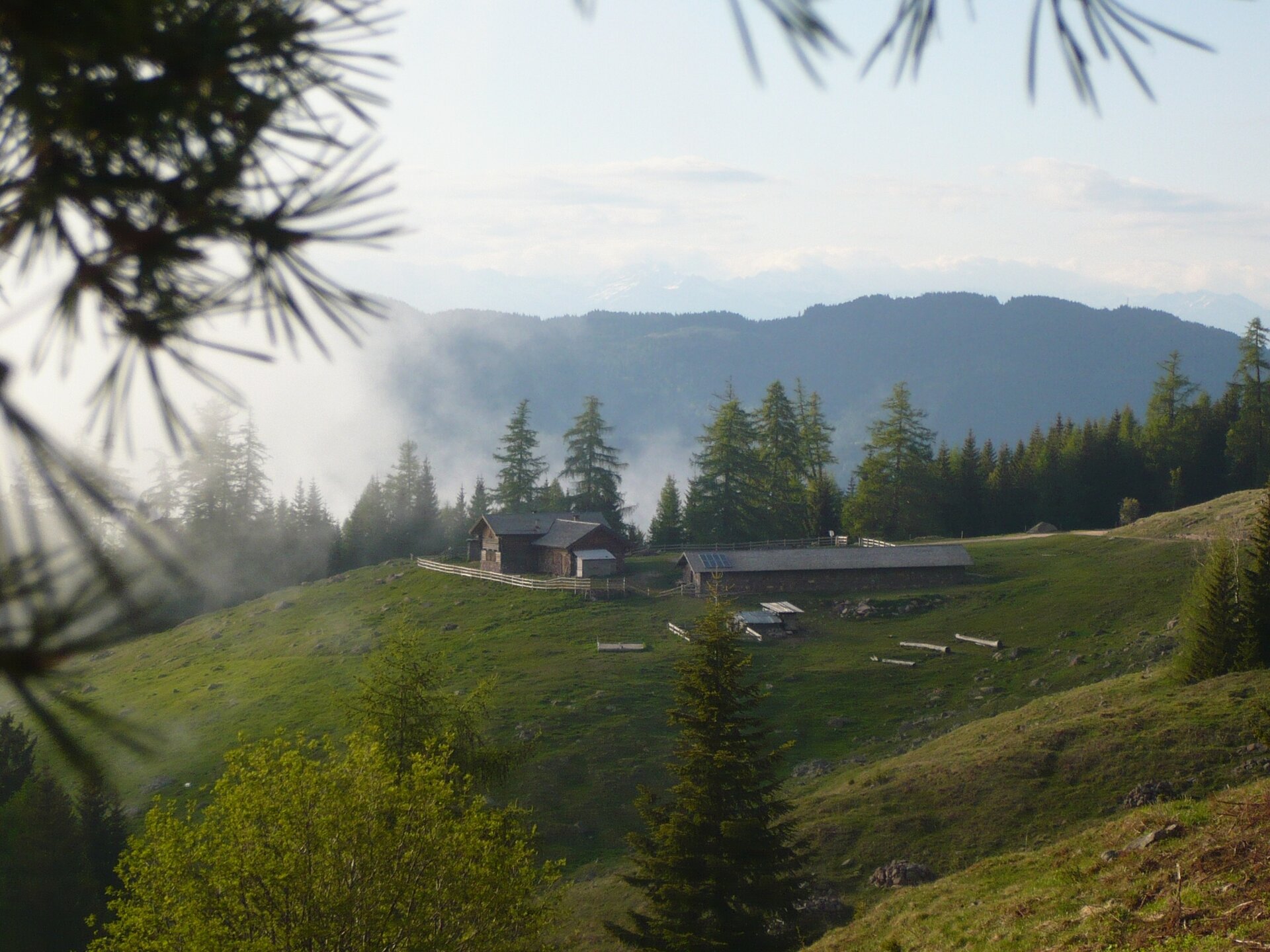
The starting point is Baita Monte Pat, accessible from Montesover by car (or on foot on SAT footpath 468). This is the starting point for SAT footpath 468 which climbs up to Malga Vernera, the only mountain dairy in the whole Cembra valley which is still working. It is a great place to relax, in the midst of verdant flower-filled pastures to the sound of cowbells in the pastures, gazing at its majestic views as you eat tasty cheeses at the dairy.

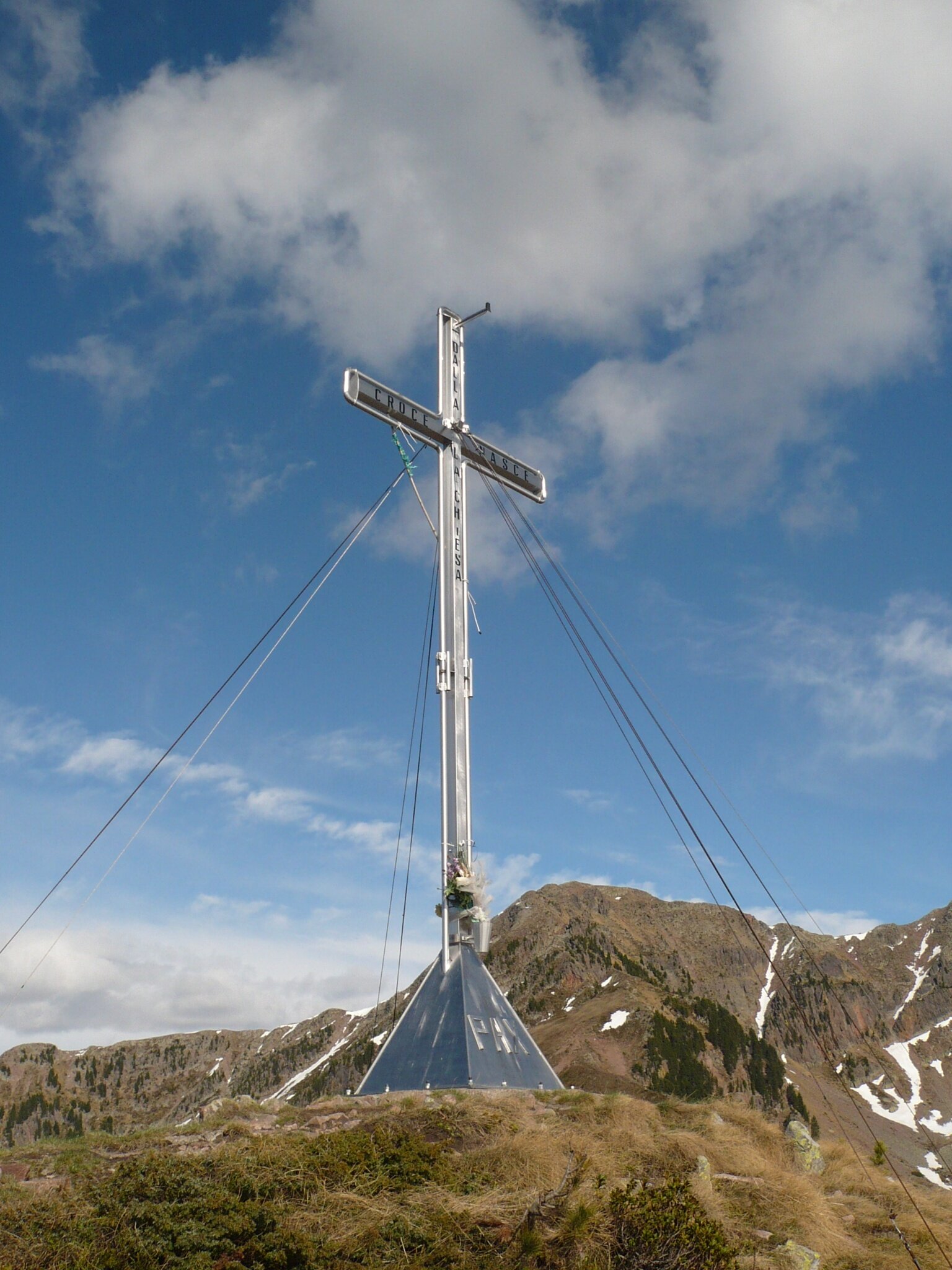
The footpath then continues on a virtually flat road (SAT footpath 469A) to Chiesetta degli Alpini, a short walk. Here it climbs up through Malga Vernera Alta pastures and spruce and Arolla pine forests before emerging in the Cimati clearing, from where you can climb up to the Mt. Croce cross. The views from Cogne are 360 degrees, taking in the Piné high plateau, the Brenta massif, the Fassa Dolomites and Mt. Lagorai.

The route continues in the direction of Passo Mirafiori, where you turn onto SAT footpath 468 once again, in the direction of Malga Vasoni Alta. At Camorè the footpath gives way to a straightforward gravel road which takes you back to Malga Vernera Bassa where you retrace your steps to Baita Monte Pat.
Gallery
Categories
  • Hiking trail
Tags
  • Scenic
  • Summit route
  • Round trip
Route data
Intermediate
Distance
11,0 km
Duration
4 h 30 min
Ascent
700 m
Decent
700 m
Physical condition
Scenary
Highest point
2.144 m
Lowest point
1.493 m
You might be interested in
Discover related tours
© Sara Zucal, Rete di Riserve Val di Cembra Avisio
Easy
Capriana
The Larches of Prà del Manz
Distance 4,0 km
Duration 1 h 10 min
Ascent 141 m
Decent 136 m
Meadow before the playground | © N. Delvai, APT Fiemme Cembra
Easy
Valfloriana
The little forest of Dorà
Distance 1,0 km
Duration 40 min
Ascent 65 m
Decent 62 m
© Sara Zucal, Rete di Riserve Val di Cembra Avisio
Easy
Cembra, Lisignago
Lago Santo
Distance 1,1 km
Duration 20 min
Ascent 10 m
Decent 10 m
The writings of the shepherds | © N. Delvai, APT Fiemme Cembra
Intermediate
Ziano di Fiemme
The shepherds’ writings - Ziano di Fiemme
Distance 3,6 km
Duration 2 h 00 min
Ascent 253 m
Decent 253 m
© Sara Zucal, Rete di Riserve Val di Cembra Avisio
Intermediate
Sover, Faver, Grauno, Grumes, Valda
Sover - Grumes, Cammino delle Terre Sospese
Distance 12,8 km
Duration 5 h 15 min
Ascent 718 m
Decent 685 m
The Avisio from an outlook on the path | © Elisa Travaglia, Rete di Riserve Val di Cembra Avisio
Intermediate
Capriana
The Avisio’s guardian farmhouses
Distance 6,9 km
Duration 3 h 30 min
Ascent 350 m
Decent 350 m