An itinerary on the trails connecting the village of Sover and its hamlets, clinging to the mountain, among the woods of the Upper Val di Cembra
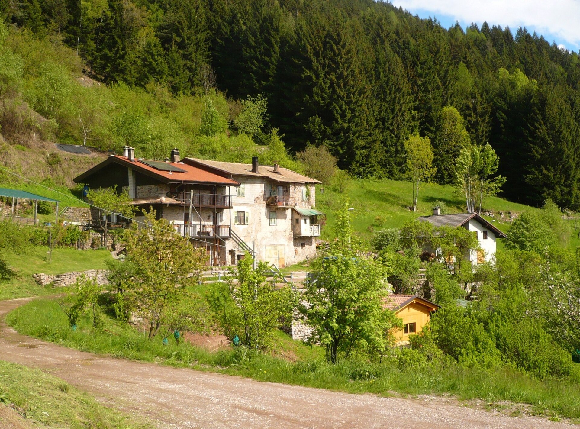
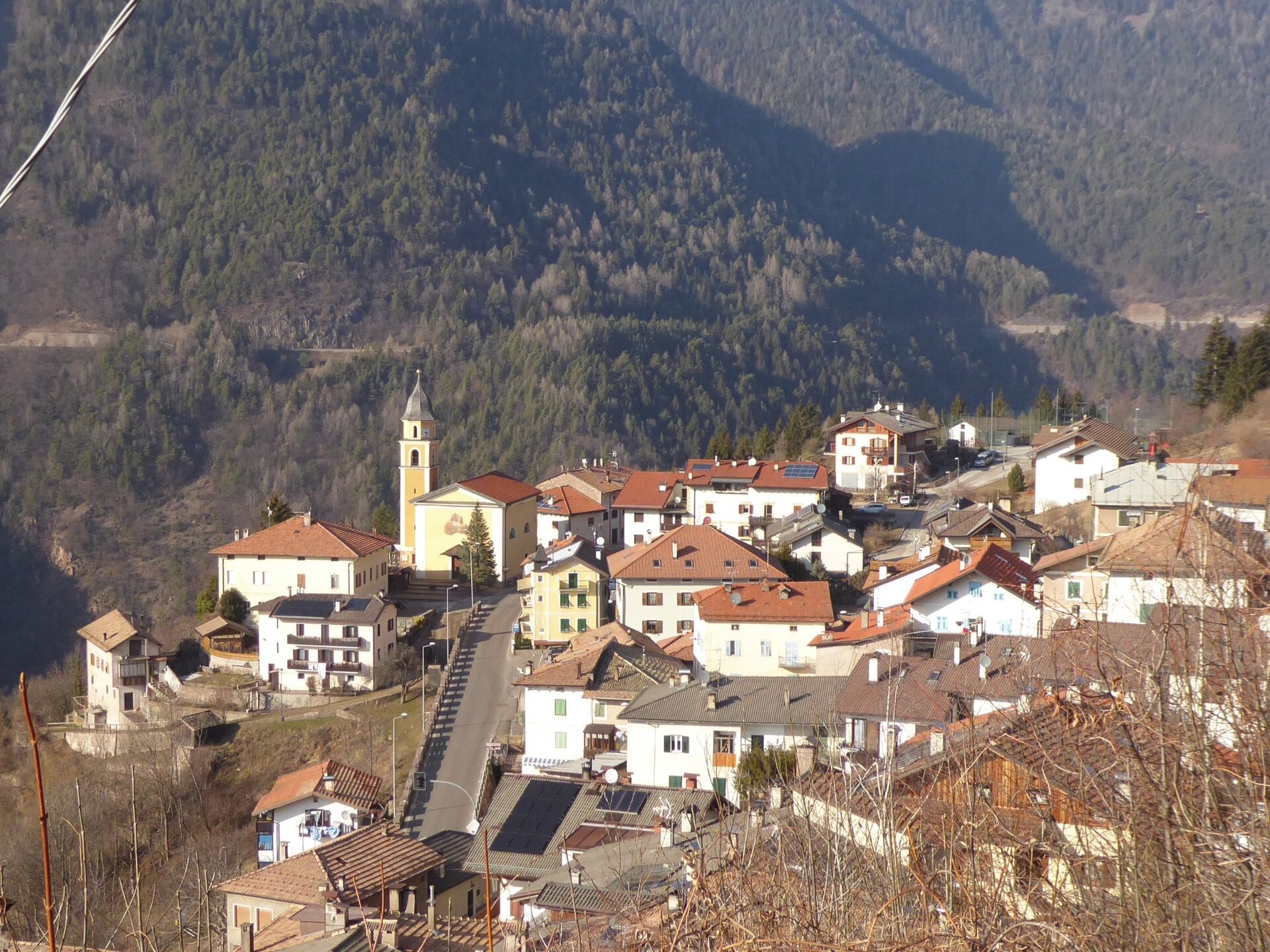
The territory of the Municipality of Sover is made up of numerous scattered settlements: the itinerary we propose connects the hamlets of Sover, Piscine, Monte Alto, Montesover, but besides these, the farms of Facendi, Piazzoli, Settefontane, Slósseri, Svéseri, Rosi, Mezzauno and the many scattered farms (Pianaci, Marigiat, Baito, Simoni, Fraine) that until the mid-20th century were the core of a lively rural economy, deserve a visit.
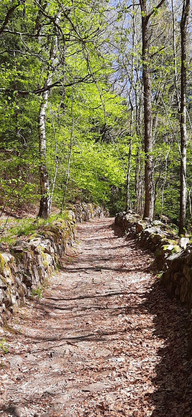
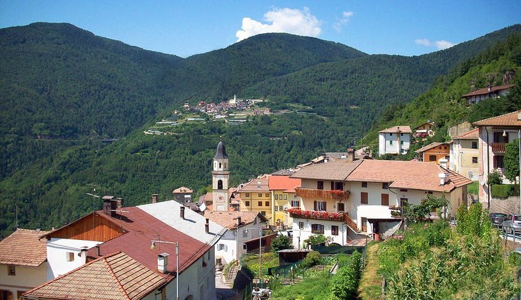
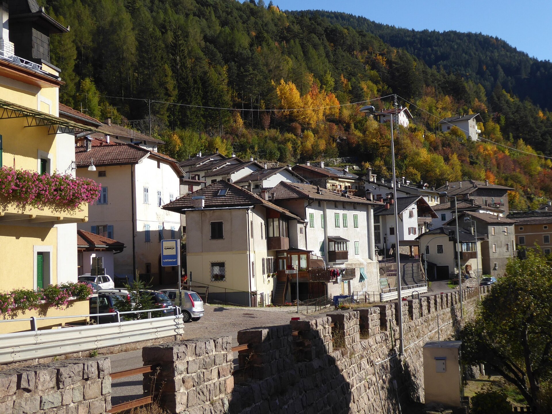
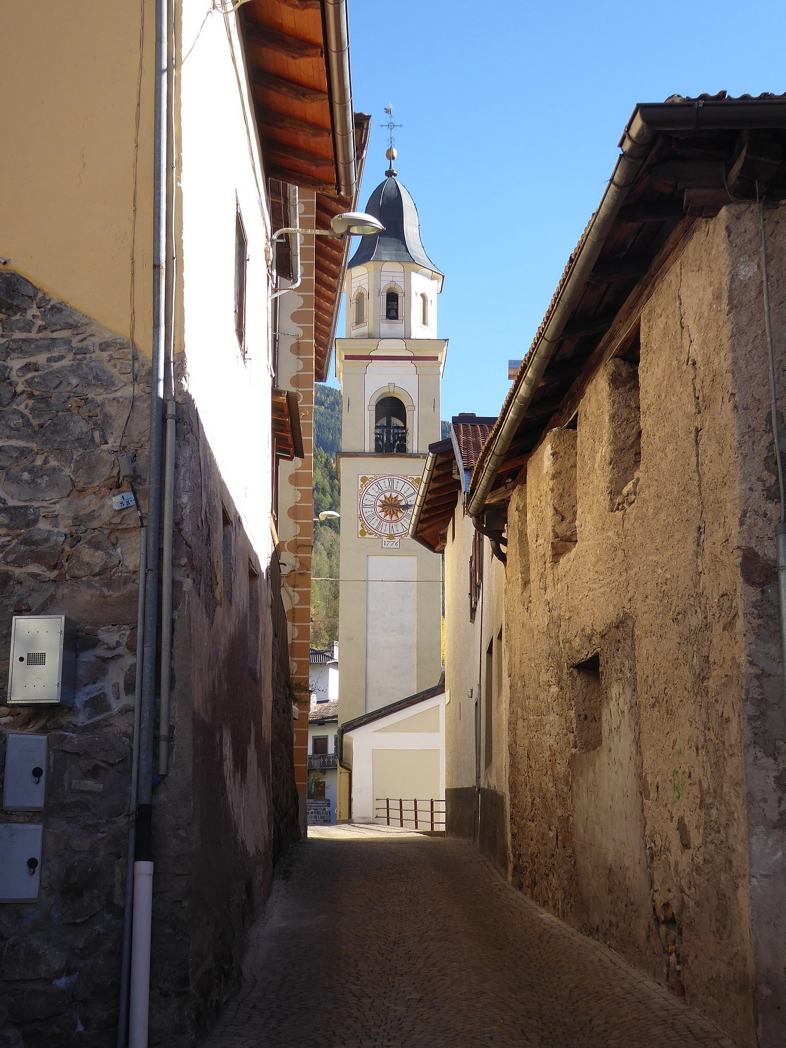
Our route starts from the village of Sover, the administrative seat of the Municipality. We walk through the streets of the village, where we can glimpse beautiful rustic-noble houses that sometimes feature interesting frescoes on their facades. We take a comfortable road that soon becomes a trail and leads us to the hamlet of Piscine, the smallest of those touched by this route, but surrounded by as many as eight farms, partly abandoned. The village stretches along the main road up to the church dedicated to St. Barbara and the Madonna of Grace, with paintings by C. Segatta and Albertini.
From Piscine, first following the paved road and then entering a forest trail, we climb up to the splendid farm of Monte Alto: a privileged balcony, from which you enjoy a spectacular view of the Cembra valley.
We then take the trail and later the dirt road that leads us to the hamlet of Montesover, a small village located in an open position dominating the valley, at an altitude of 1130 m. Finally, we continue, still on dirt road, until returning to Sover.