Directions
This stage takes us to the northernmost point of the Cammino delle Terre Sospese and to cross from the left bank to the right bank of the valley, crossing the Avisio stream for the second time.
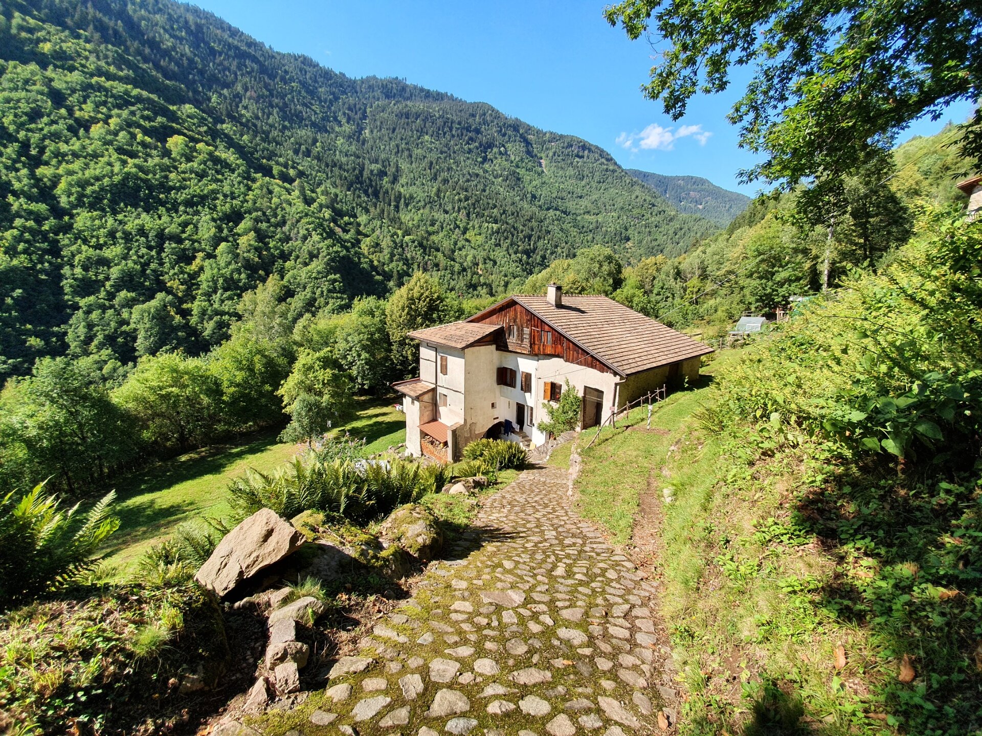
From the church of Sover, with its two sundials and the plaque commemorating the late 1700s battles between Tyrolean troops and Napoleonic forces, we enter the “pòrtech del Piti” to emerge on the other side and, after crossing via Roma, take the alley Lia Barcatta leading to another porch. We continue to leave the village of Sover heading north, where we cross SP 83 (caution) and enter the woods, first passing through the chestnut grove. We proceed towards Piscine on a comfortable path without major elevation changes. Arriving at the village of Piscine, we cross it entirely until reaching the church (caution crossing the provincial road), where we take the trail on the left descending towards the Marigiat farmhouse. We go down passing in front of an old wooden shrine with a Madonna statue. The Marigiat farmhouse still preserves two of the five houses it comprised; the last inhabitants left in the 1960s.
At the farmhouse, we pass under the porch, turning right (do not linger under the arch) and go down the trail, which then turns left and continues towards the Pianaci farmhouse, which is reached from below. Here the houses are still used as second homes, and the surrounding meadows are mowed. This plateau invites a pause. The Pianaci farmhouse was inhabited until 1965, counting 32 inhabitants at the 1900 census.
We continue on the old trades trail that descends towards the Avisio and passes near two lime kilns used for lime burning until 1949; an iron cross planted on a rock commemorates the tragic death of a 33-year-old man who in 1912 fell into the kiln.
Slightly below the kilns, the path rises and continues parallel to the Avisio stream, crossing rocks suspended over the stream; here the path is protected by a steel cable allowing us to safely admire the flowing waters. It is not uncommon to see a grey heron taking flight. Upon reaching the Castelir farmhouse through the characteristic gorge, we proceed aided by daring iron ladders to descend again towards the Avisio, walking on the riverbed. In rainy periods the water sometimes covers the path; with care, we overcome this passage to soon reach the Molini farmhouse and, a little further, the La Rio bridge, which allows us to cross to the opposite bank, ascending towards the Ghinara farmhouse and the tiny hamlet of La Rio. We always follow the old trades trail signs leading us to visit ancient restored structures: first the Nones mill and the Cristofori forge, then the old Venetian sawmill called sega lontana. Here the trail forms a loop, first ascending again the Molini stream passing the Gottardini mill, then the Valentini sawmill, the Felicetti forge, and finally the Cristofori mill, where we turn right towards the village of Grauno, famous for its typical carnival. We pass under the community restaurant Il Grillo and the church of St. Martin. We descend through the village until meeting the provincial road (caution), from which, after a few hundred meters, we return to the sega lontana sawmill closing the loop. From there, we follow the signs for Grumes, ascending through the woods and then descending towards the village.