To the navigation Skip to main content To the footer
Top

The historic crafts footpath - from Sover

Sover
Difficulty
Intermediate
Duration
3:30
in hours
Distance
8.5
in km
Categories
  • Hiking trail
Tags
  • Scenic
  • Round trip
  • Cultural/historical interest
Suggested period
Jan
Feb
Mar
Apr
May
Jun
Jul
Aug
Sep
Oct
Nov
Dec

Historic farmhouses, limestone, ancient chestnuts trees and the wild Avisio stream on an incredibly varied route

The itinerary follows a section of the Historic Crafts ethnographic footpath along the left bank of the Cembra valley.

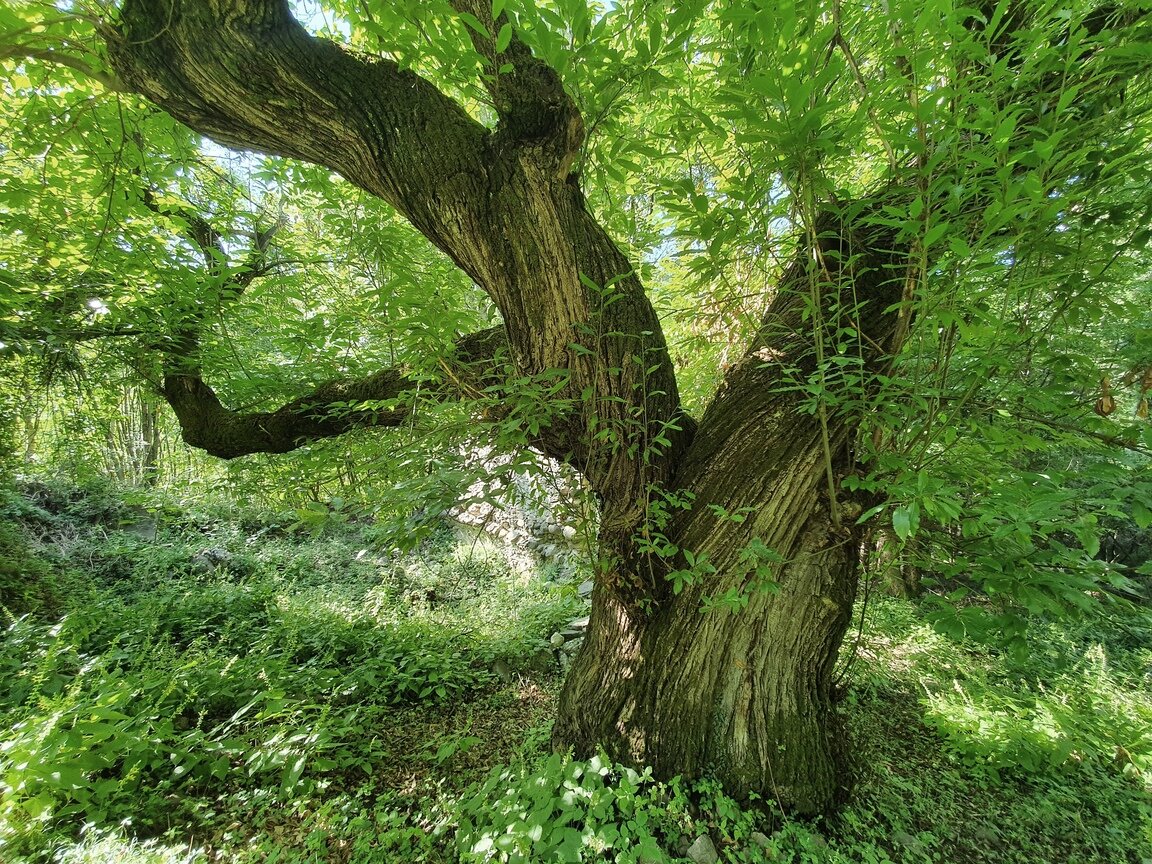
Starting from Sover town centre, take a straightforward road just outside the town which soon turns into a footpath and continues to the village of Piscine, before descending to SP71, crossing it and turning onto a cobbled mule track which descends steeply into the valley. Just a little further on Castegnar de la paia is waiting for us, a majestic over 400-year-old chestnut tree.

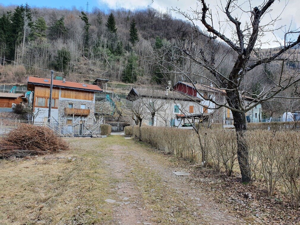
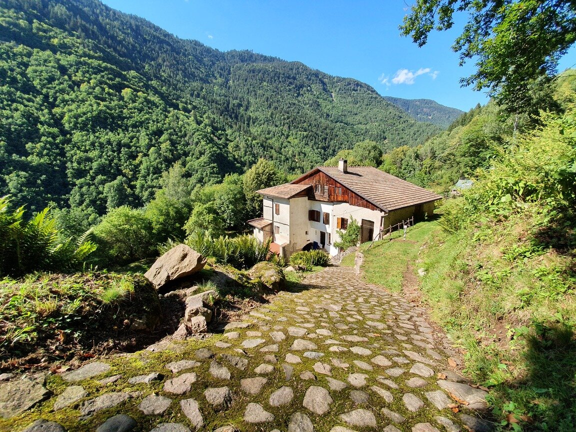
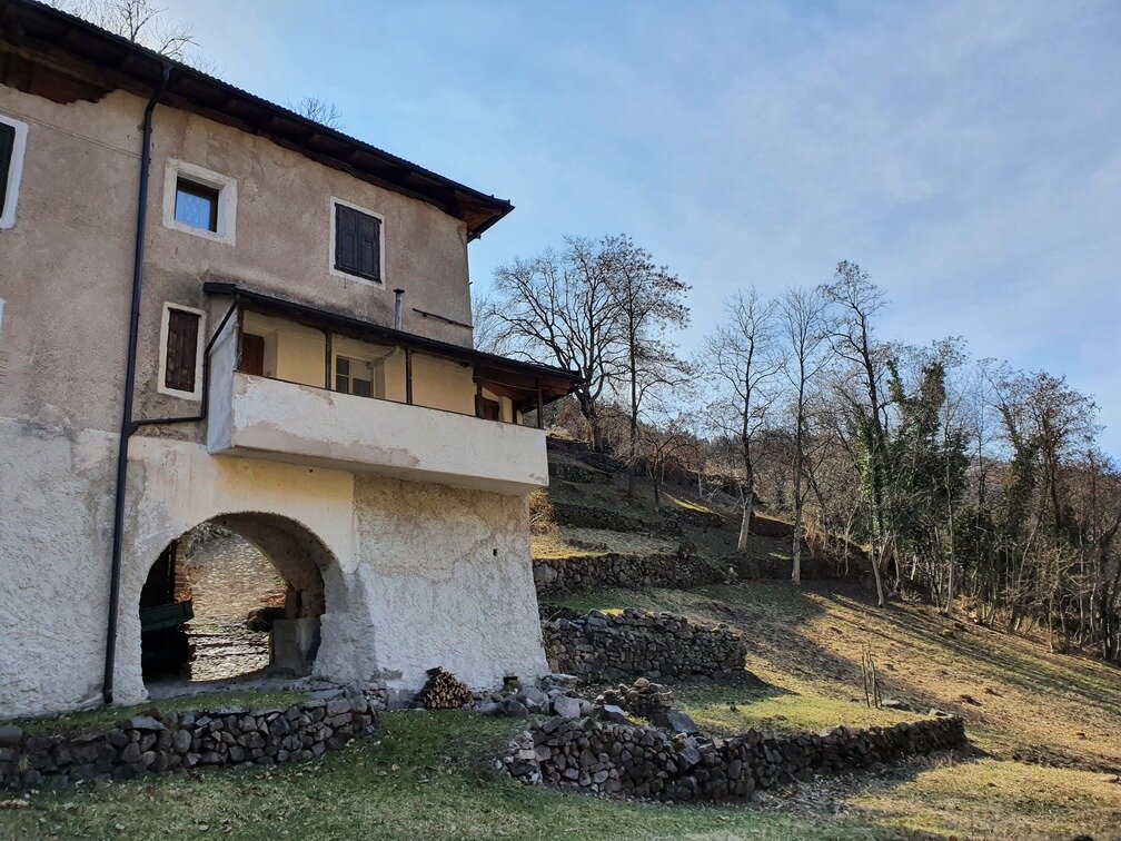
Continuing downhill takes you out at a group of splendid historic farmhouses some of which have been lovingly restored in accordance with traditional architectural styles. You are now at Maso Pianaci.

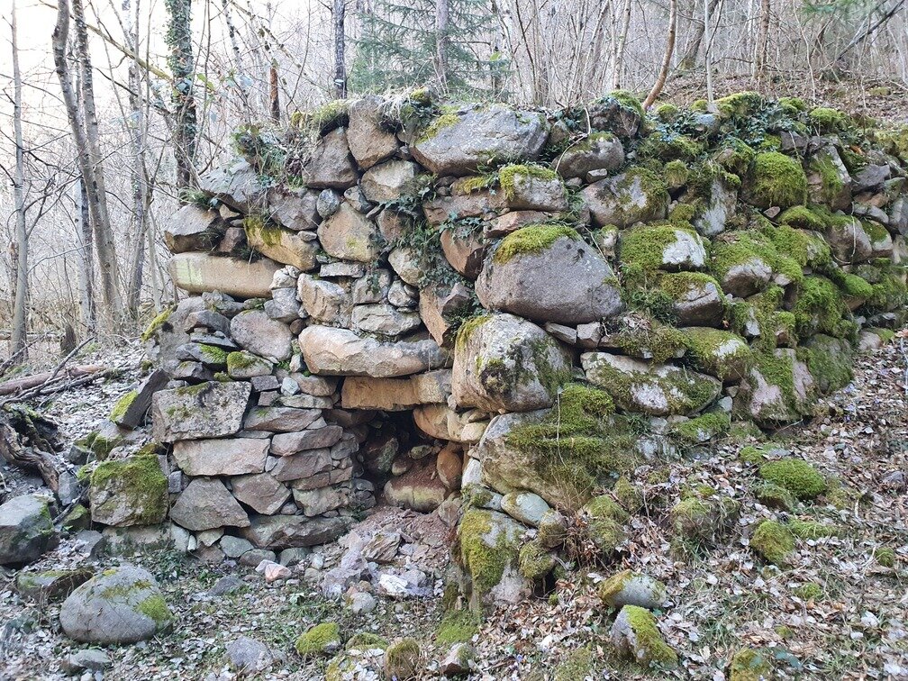
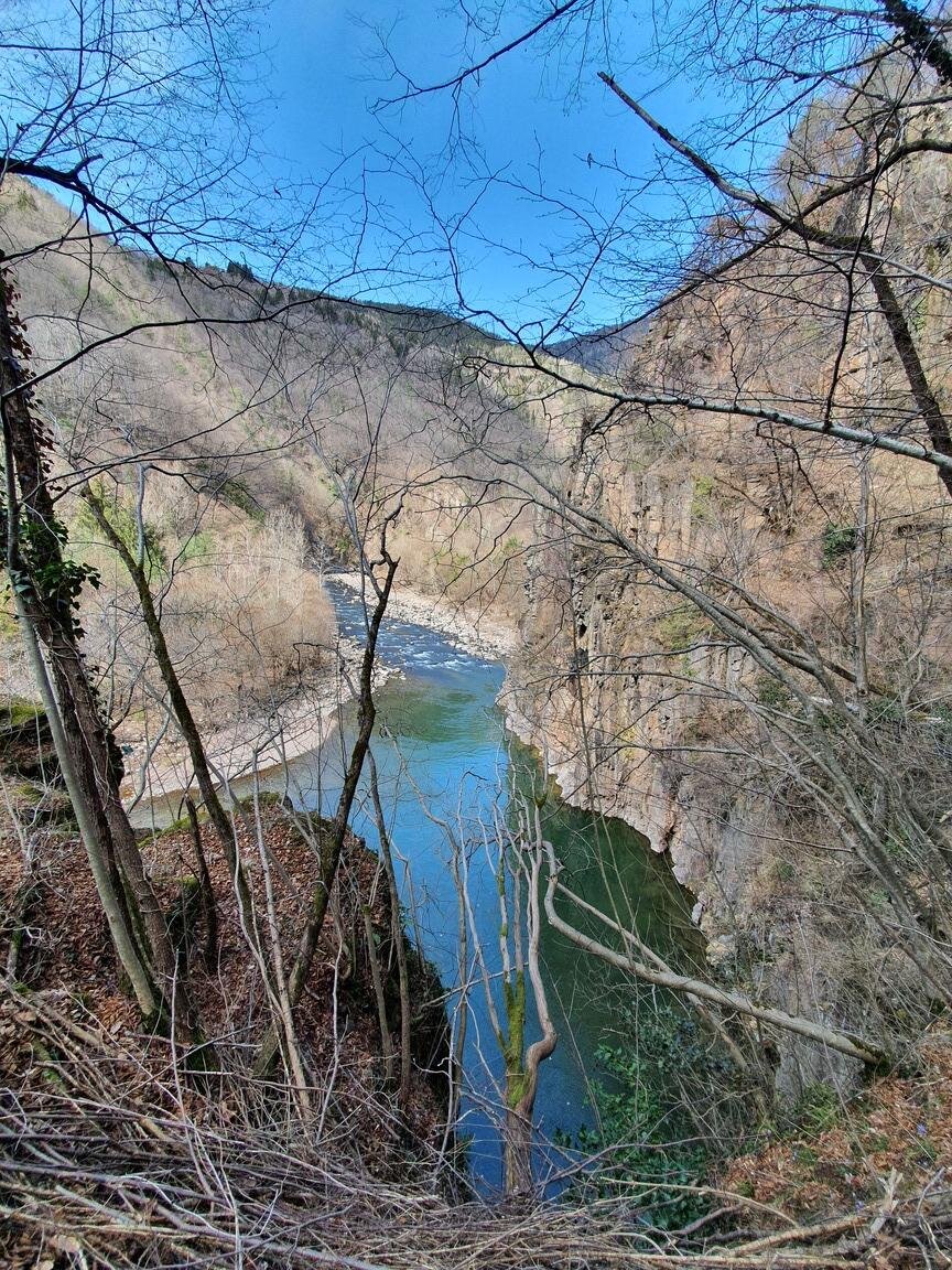
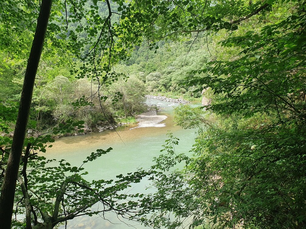
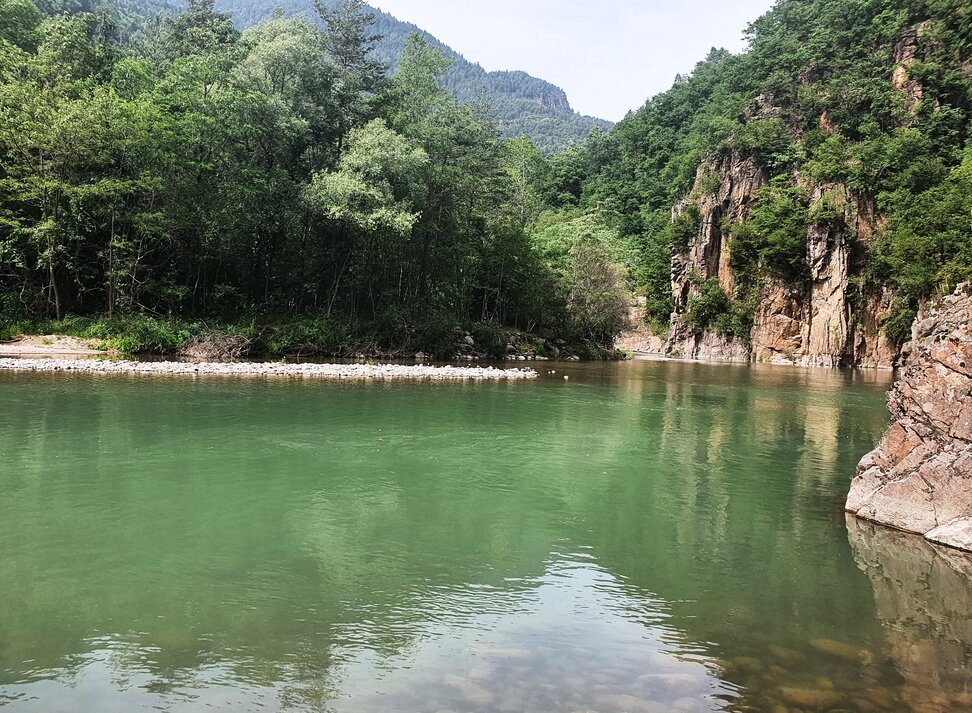
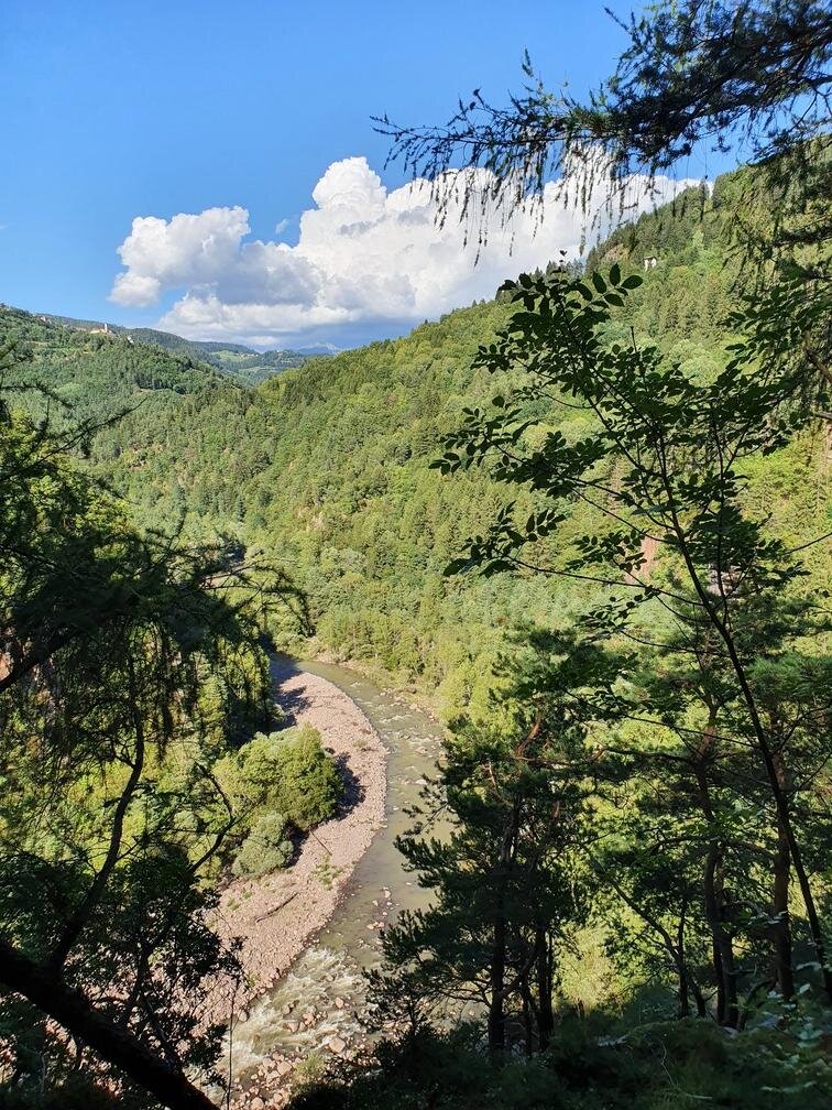
The footpath continues downhill past the Vettori limestones used until the mid-20th century for lime working and continuing through the woods along the Avisio stream which has carved out spectacular sheer rocks through the valley. It then emerges at Castelir, a very large farmhouse built on the banks of the stream. Now in ruins it was once the fulcrum of life, work and community.

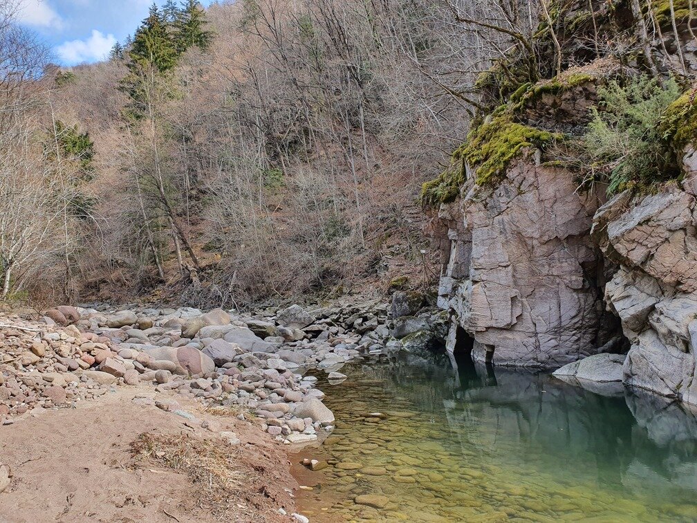
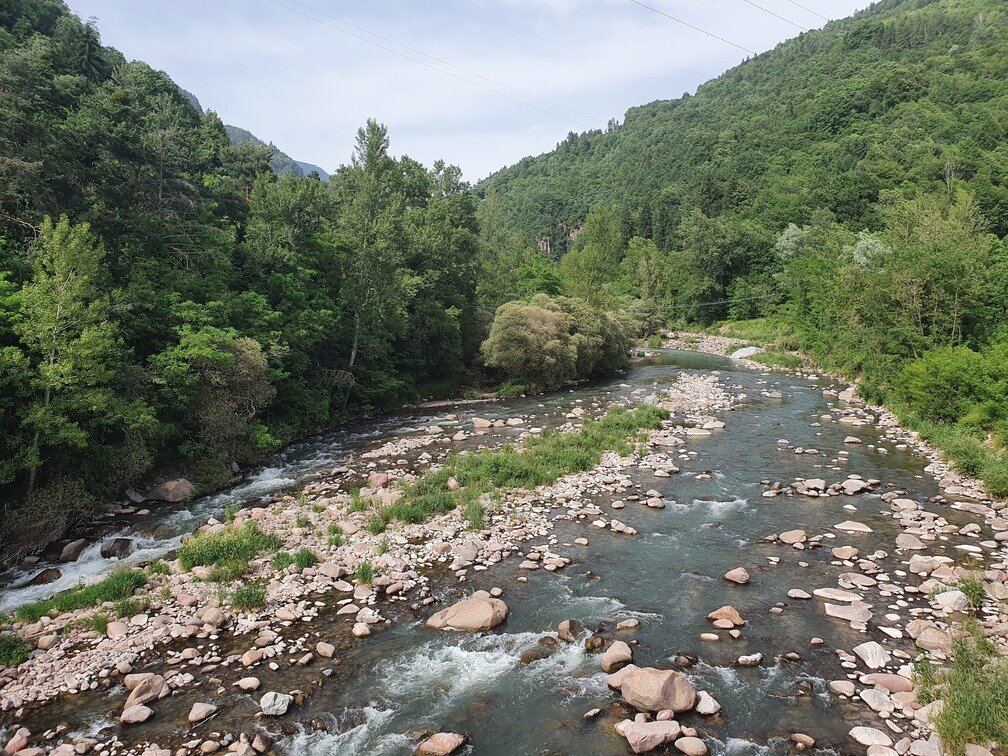
Here our footpath continues on metal walkways attached to the rocks and then the Avisio stream bed before continuing into the forest until the views open up, surprisingly, in a clearing containing Molini di Sover, a clump of houses just a few metres from Pont de la Rio. It then climbs back up to Sover on an attractive road cobbled with pebbles smoothed over by time.
Gallery
Categories
  • Hiking trail
Tags
  • Scenic
  • Round trip
  • Cultural/historical interest
Route data
Intermediate
Distance
8,5 km
Duration
3 h 30 min
Ascent
450 m
Decent
450 m
Physical condition
Scenary
Highest point
966 m
Lowest point
599 m
Suggestions

The section of path between Castellir and Molini di Sover passes through the bed of the Avisio stream. In case of heavy rain or flooding, this section might be impassable. If the path is not passable from Castellir, it is possible to take a deviation that climbs directly to Sover through ancient terraces now overgrown by the forest.

You might be interested in
Discover related tours
Easy
Cavalese
Discovering one of the wonders of Val di Fiemme
Distance 7,9 km
Duration 2 h 45 min
Ascent 203 m
Decent 204 m
© Rete di Riserve Val di Cembra Avisio
Intermediate
Sover
Pasture at the foot of Mt. Lagorai
Distance 11,0 km
Duration 4 h 30 min
Ascent 700 m
Decent 700 m
The crucifix | © Staff Outdoor Val di Fiemme, APT Fiemme Cembra
Easy
Ville di Fiemme
The cherry tree and the crucifix of Varena
Distance 4,5 km
Duration 2 h 30 min
Ascent 250 m
Decent 198 m
Pine walk | © N. Delvai, APT Fiemme Cembra
Easy
Ville di Fiemme
Carano - The pine walk
Distance 4,0 km
Duration 1 h 20 min
Ascent 140 m
Decent 140 m
The covered wooden bridge and the information board | © N. Delvai, APT Fiemme Cembra
Easy
Panchià, Ziano di Fiemme
Montagna Senza Limiti - Old Bridge: a suspended story
Distance 5,8 km
Duration 1 h 30 min
Ascent 34 m
Decent 34 m
Panorama along the route | © Staff Outdoor Val di Fiemme ND, APT Fiemme Cembra
Easy
Cavalese
On the Tracks of Nature
Distance 3,9 km
Duration 2 h 00 min
Ascent 177 m
Decent 177 m