Gaggio, Gresta and Valcava: tiny hamlets of the municipality of Segonzano, carriers of a deep identity.
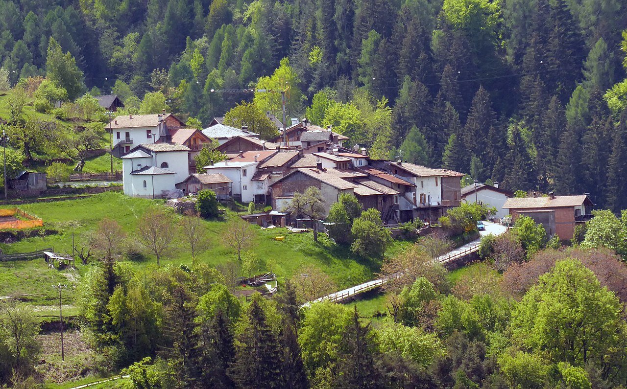
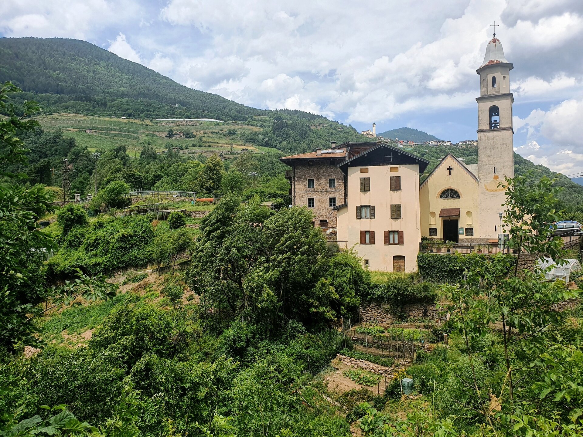
Our route, extremely rich and varied, starts from the hamlet of Valcava, at just under 1000 meters altitude, at the borders with the Piné Plateau. Valcava is made up of three clusters of houses: i Piani, i Tirli, i Caloneghi. The main one, the “Piani”, consists of about a dozen houses, the church dedicated to the Guardian Angels, the small cemetery, and until a few decades ago also the school.
From here we set off following a path through the woods that leads us to the Sanctuary of the Madonna dell'Aiuto: built by the baronial family in Prato at the end of the 17th century as a simple devotional chapel, in subsequent centuries it was restored and enlarged several times, until the expansion of 1956-61 gave it its current appearance.
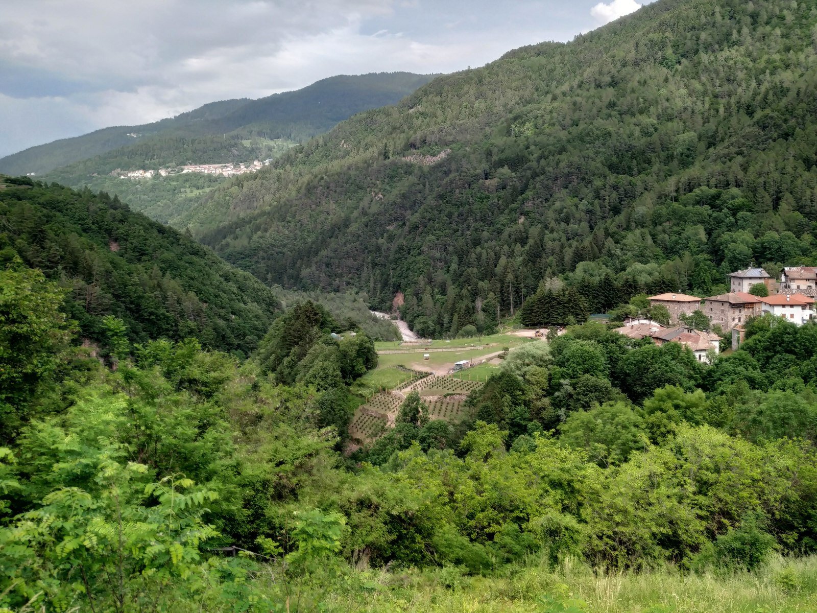
The itinerary continues following the Gaggio stream until reaching Gresta, where the wild Avisio torrent coexists with majestic rocks, terraced fields reclaimed from abandonment, and steep forested slopes, where we find some of the most majestic chestnut trees in the valley.
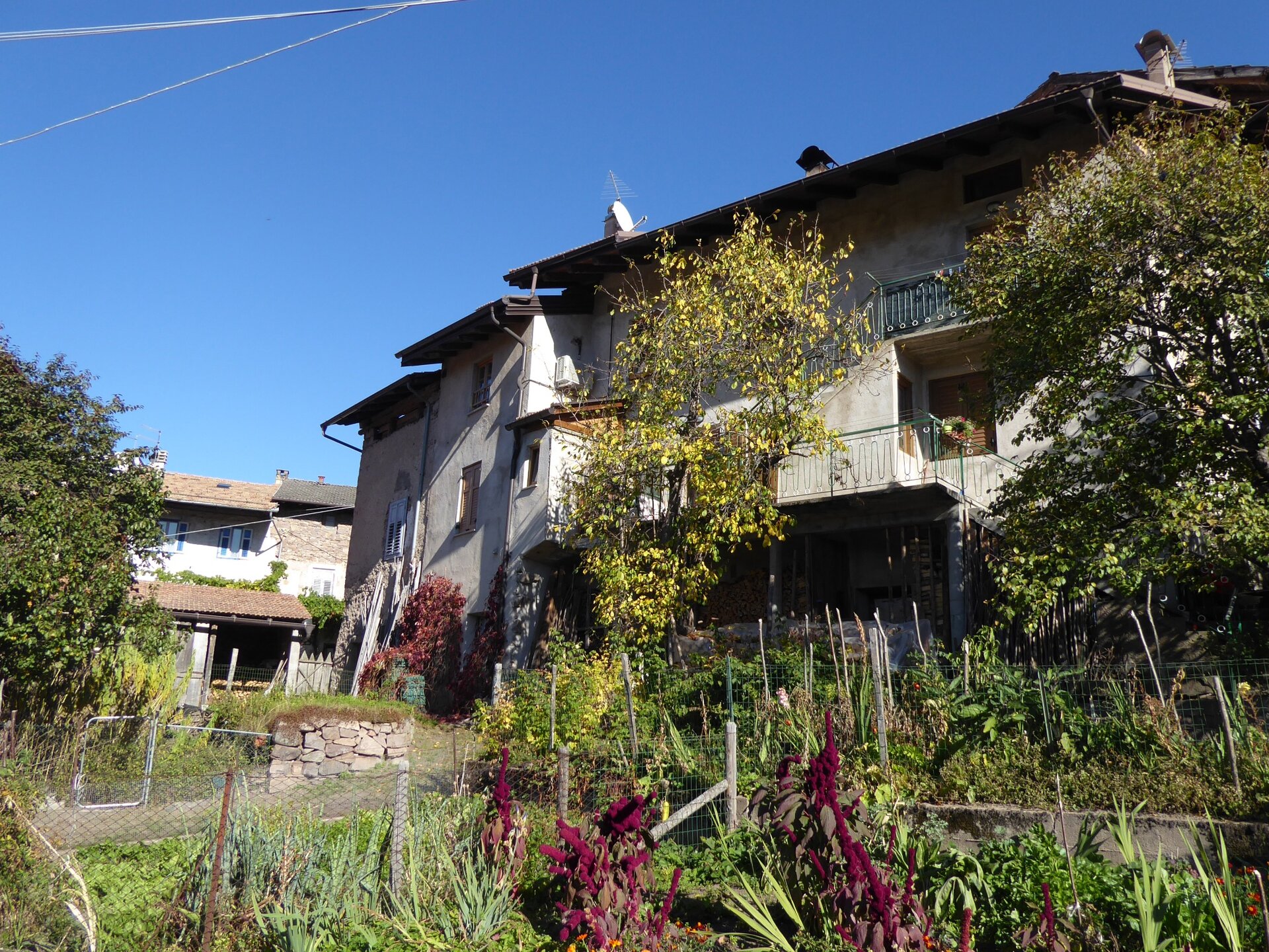
We then continue towards Gaggio: a cluster of houses gathered along the access road and in the inner square, the heart of the small village. Just under 50 inhabitants bring this small village to life, made up of narrow alleys and ancient rural houses. If we pass through here, we cannot fail to stop and visit the Mirtilla farm, organic for twenty years, which cultivates about one hectare of small terraced plots surrounding the farmhouse.
We then return to Valcava following a pleasant path through the woods.