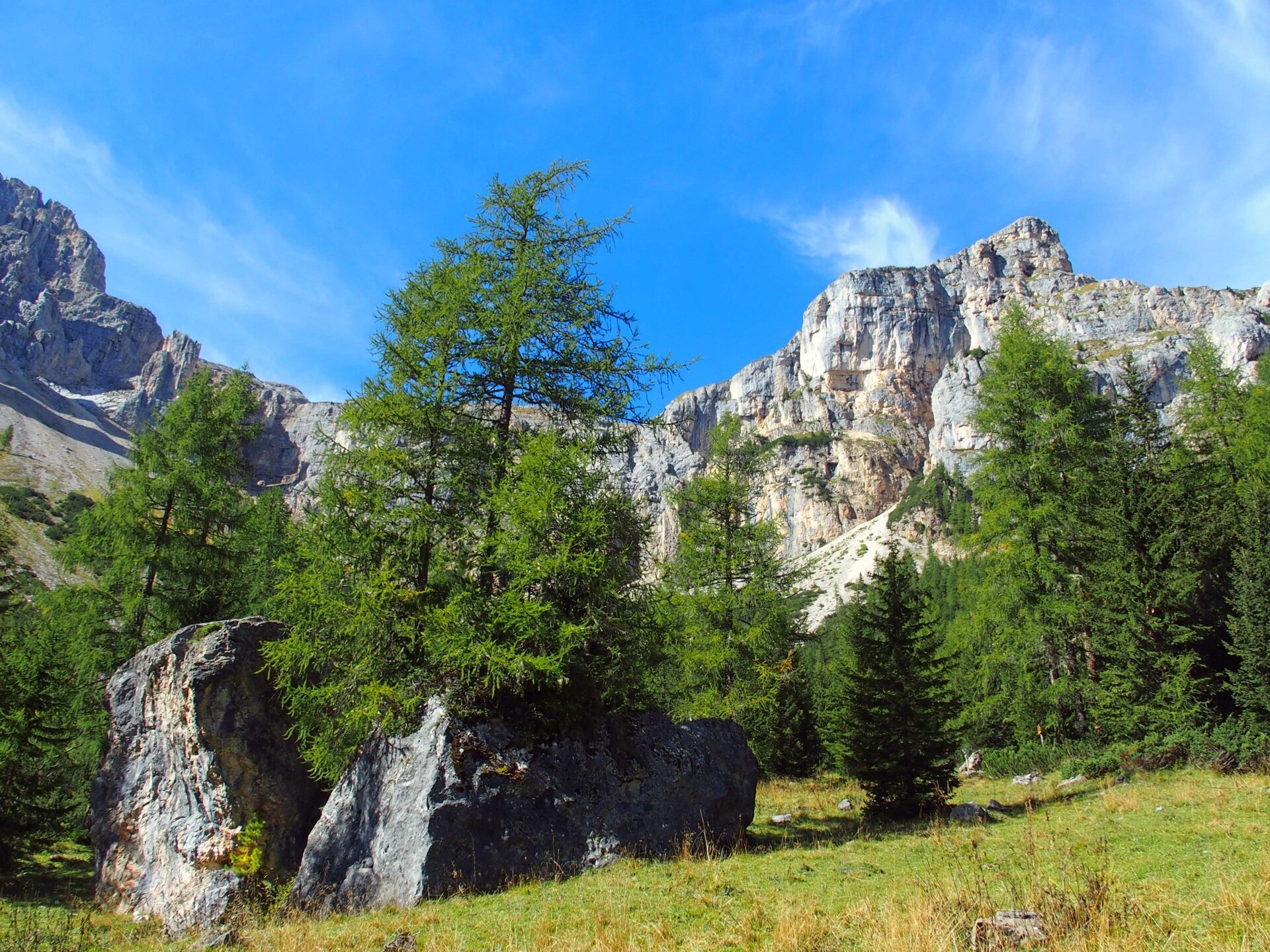
Discovering the Latemar plateau, with its lunar-like landscape, and the wild Valsorda valley.
A challenging route in the heart of the Latemar Massif. The first section follows the path leading to the Torre di Pisa mountain hut and the tower of the same name. The route continues across the plateau before descending through the wild Valsorda valley. Once you reach the picturesque hamlet of Forno di Moena, you return along the cycle path to the departure point of the Latemar ski lifts.
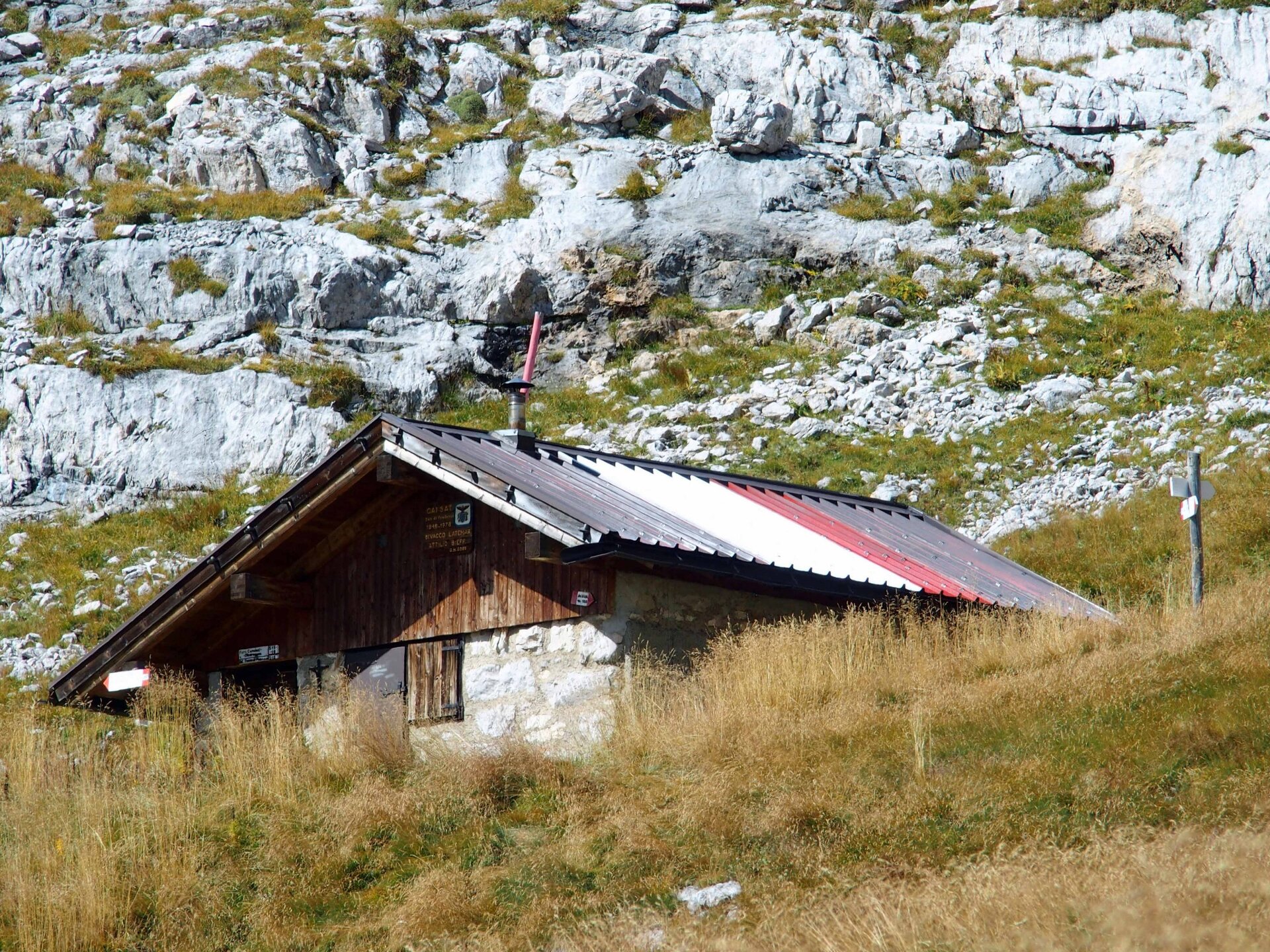
The Sieff bivouac is the perfect spot to stop for a packed lunch. Outside, a bench invites you to rest whilst admiring the view: to the left, the Pale di San Martino are clearly visible, and to the right, the jagged peaks of the Lagorai Range. There is also a spring nearby.
Safety guidelines
THE 10 RULES FOR HIKERS
Prepare your itinerary beforehand
Choose an itinerary that suits your physical abilities
Choose suitable clothes and equipment
Check the weather forecast
Hiking by yourself is more risky; if this is the case, take a mobile phone with you
Leave information about your itinerary and your expected return time
If you are not sure about your itinerary, contact an Alpine Guide
Pay attention to signposts and directions that you find along your way
Do not hesitate in going back if you feel too tired
In case of emergency call 112
Please note that the practicability of the itineraries in a mountain environment is strictly linked to the contingent conditions and is therefore influenced by natural phenomena, environmental changes and weather conditions. For this reason, the information contained in this page may have changed. Before leaving for a tour, make sure the path you will approach is still accessible by contacting the owner of the mountain hut, the alpine guides or the visitor centres of the nature parks, the info offices of the local tourist board.
Starting point
Passo Feudo mountain hut
Directions
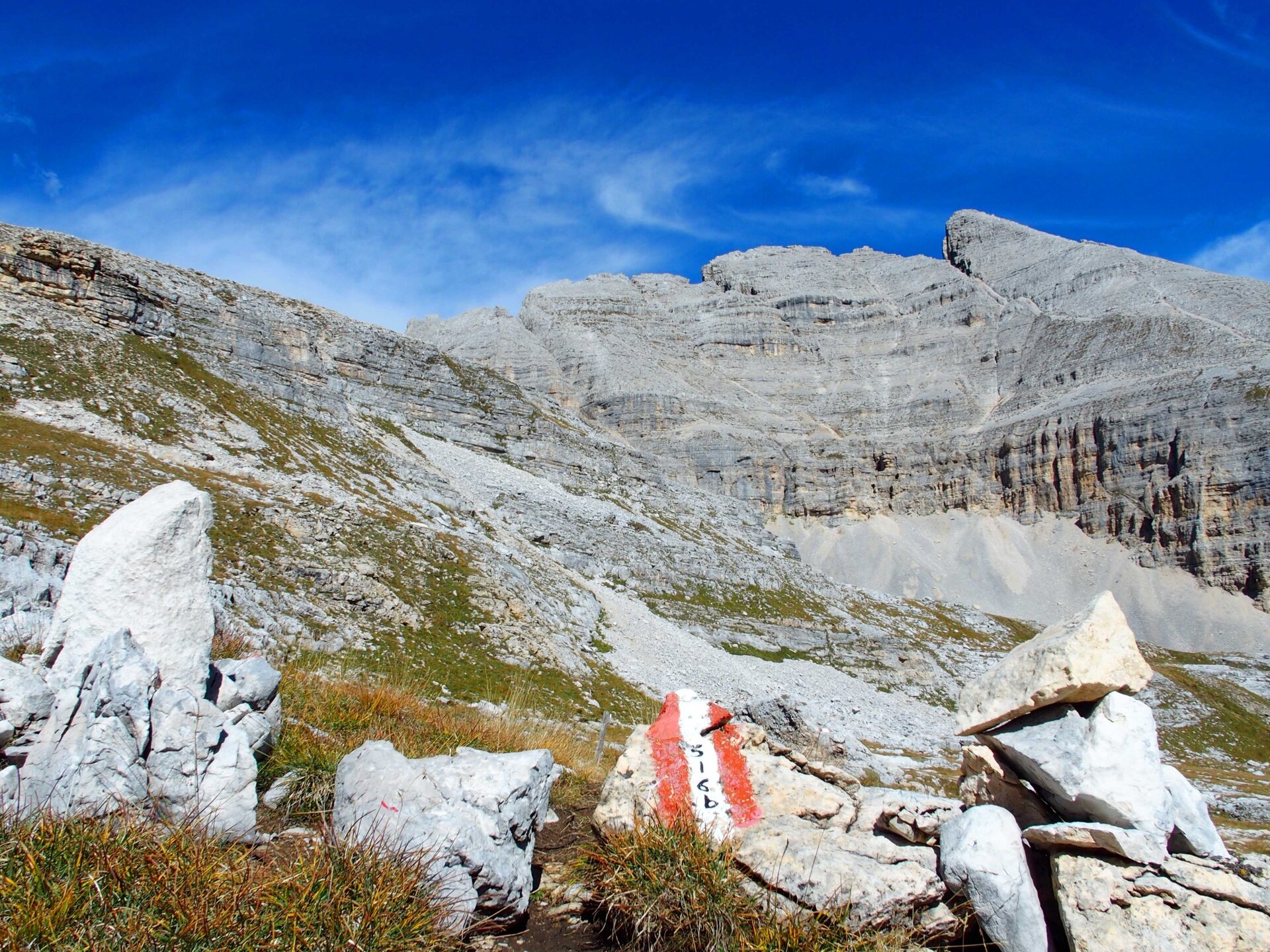
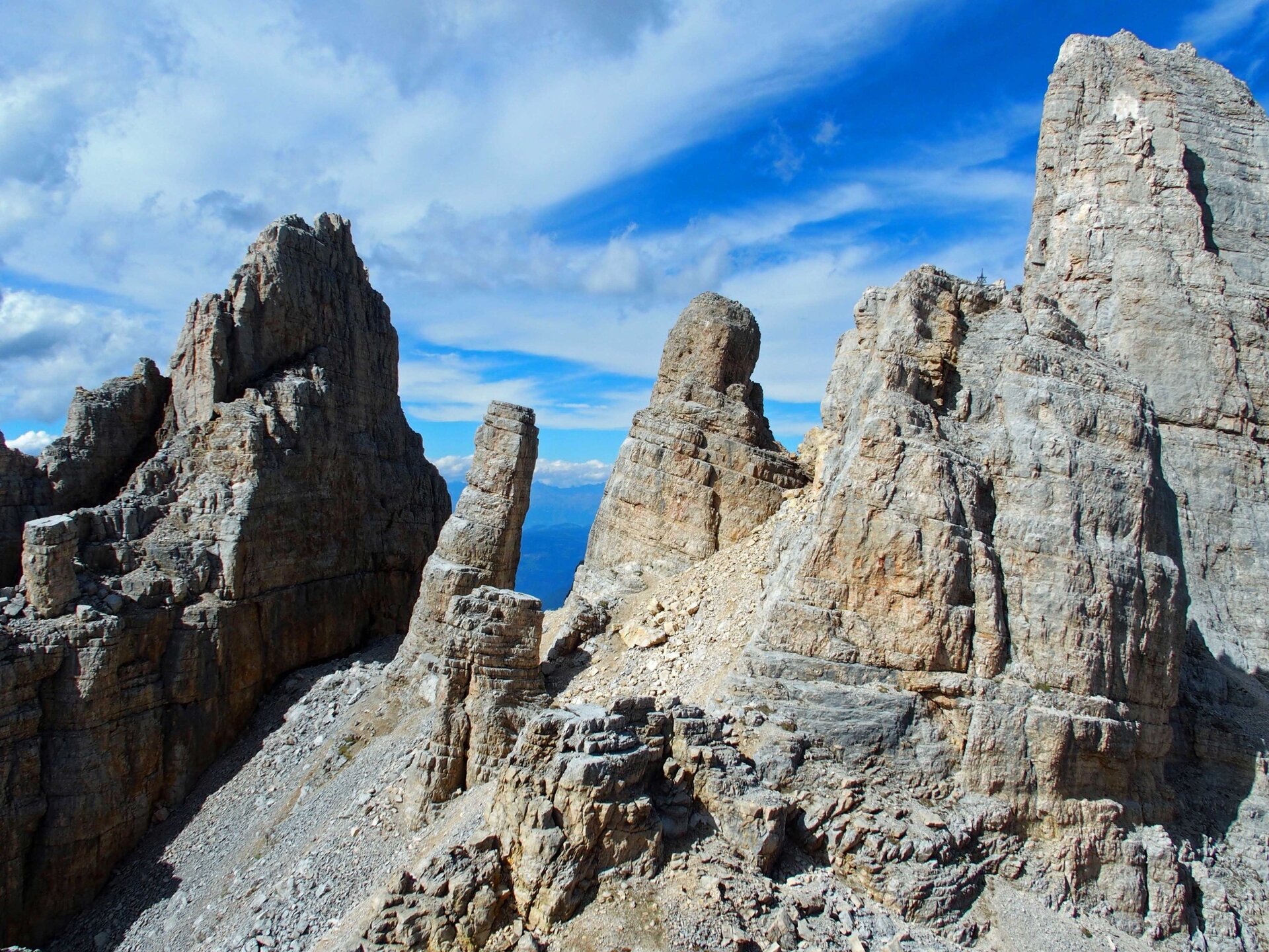
From Predazzo, take the cable car and chairlift up to the Passo Feudo mountain hut. From the chairlift top station, take path no. 516, which leads to the Torre di Pisa mountain refuge. Just past the refuge, as you continue along path no. 516, you can admire the Torre di Pisa on your left – a rocky spur that leans like the tower of the same name in Tuscany. Continue towards Forcella dei Camosci, descending amongst rocky pinnacles. On the flat section, take path no. 516/B, which leads gently downhill to the Latemar A. Sieff bivouac, walking first over white stones and then across grassy stretches.
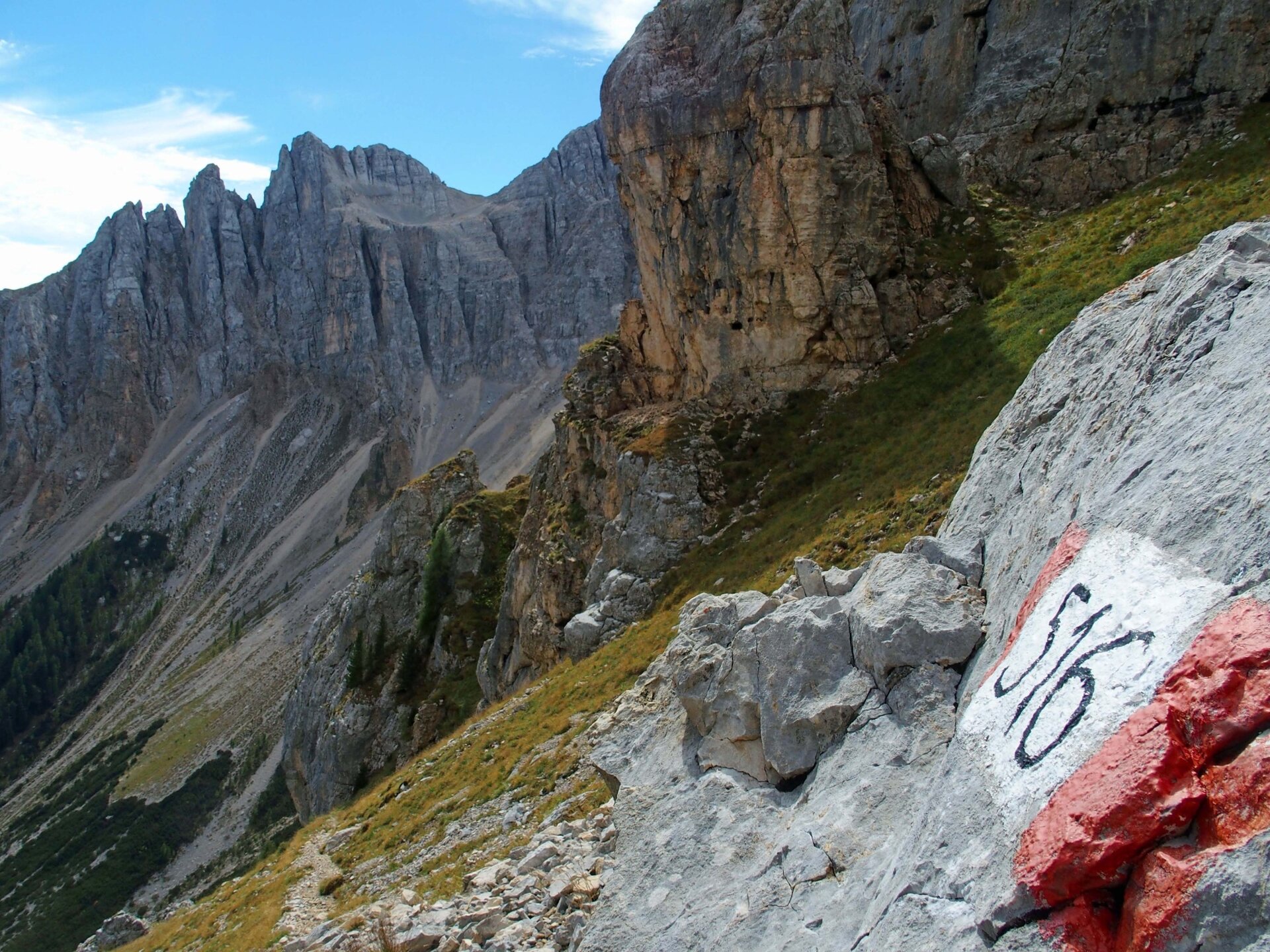
This is where the most challenging section of the route begins. After about a hundred metres of gentle descent through the grass, the path begins to descend steeply, with a short section equipped with a metal cable, which helps you to negotiate some rocky outcrops with ease. Once you reach the woodland, the path continues with a gentler descent, eventually coming out onto a forest track, along which you continue downhill until you reach path no. 516, which runs alongside the stream and leads to the small village of Forno. From here, you can return to the Latemar ski lifts via the cycle path for 3.5 km. Alternatively, there is a regular bus service that will take you to your destination (check the timetables).
public transportation
The lifts Latemar MontagnAnimata are reachable by bus from Predazzo and from Cavalese.
How to get there
The lift station Latemar MontagnAnimata is located on the road from Predazzo to Moena (Val di Fassa).
Where to park
In the parkings of Pampeago and Predazzo lifts.
Hiking shoes, rain-jacket, hiking poles, water, snacks and sun cream.