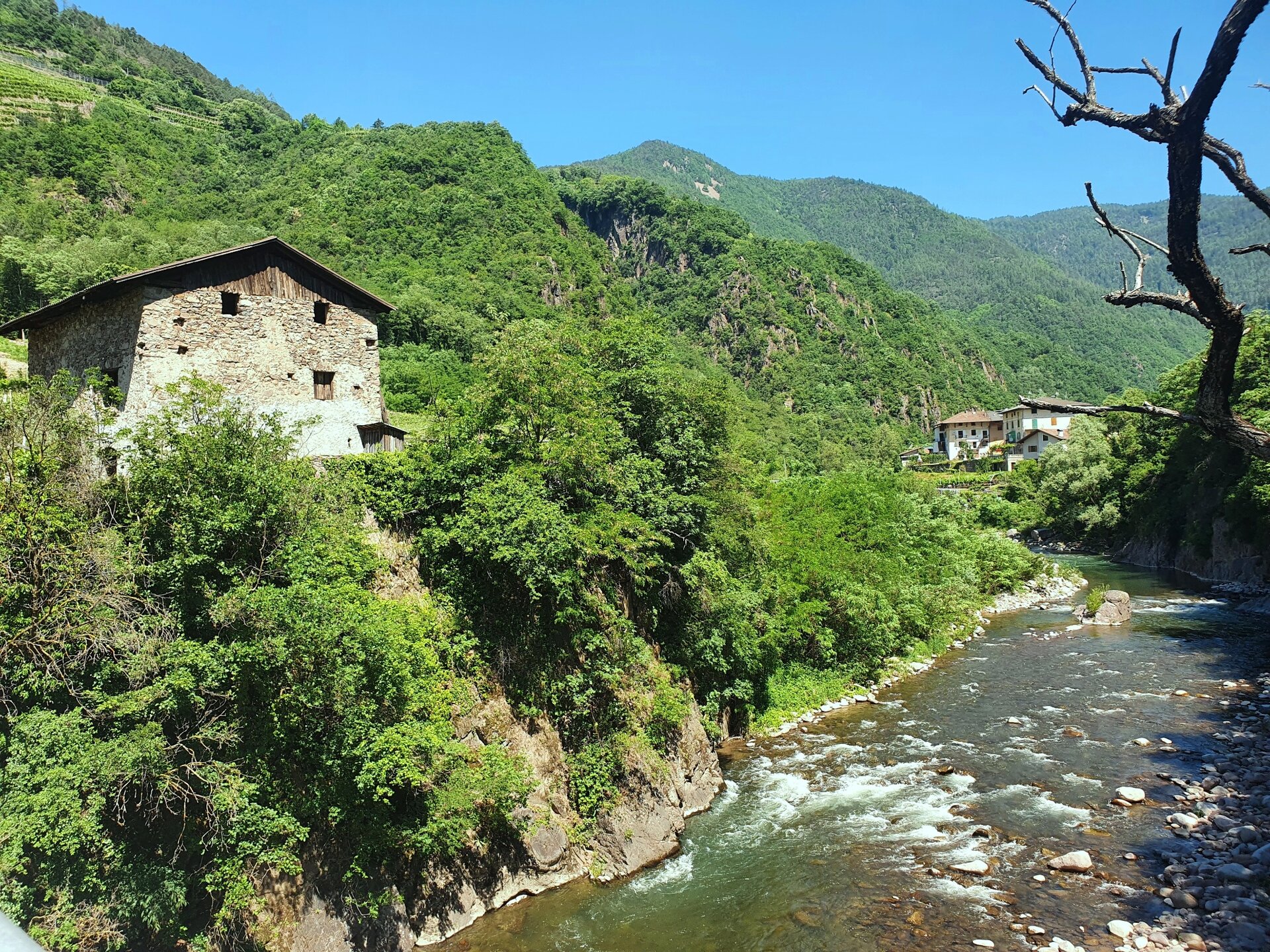
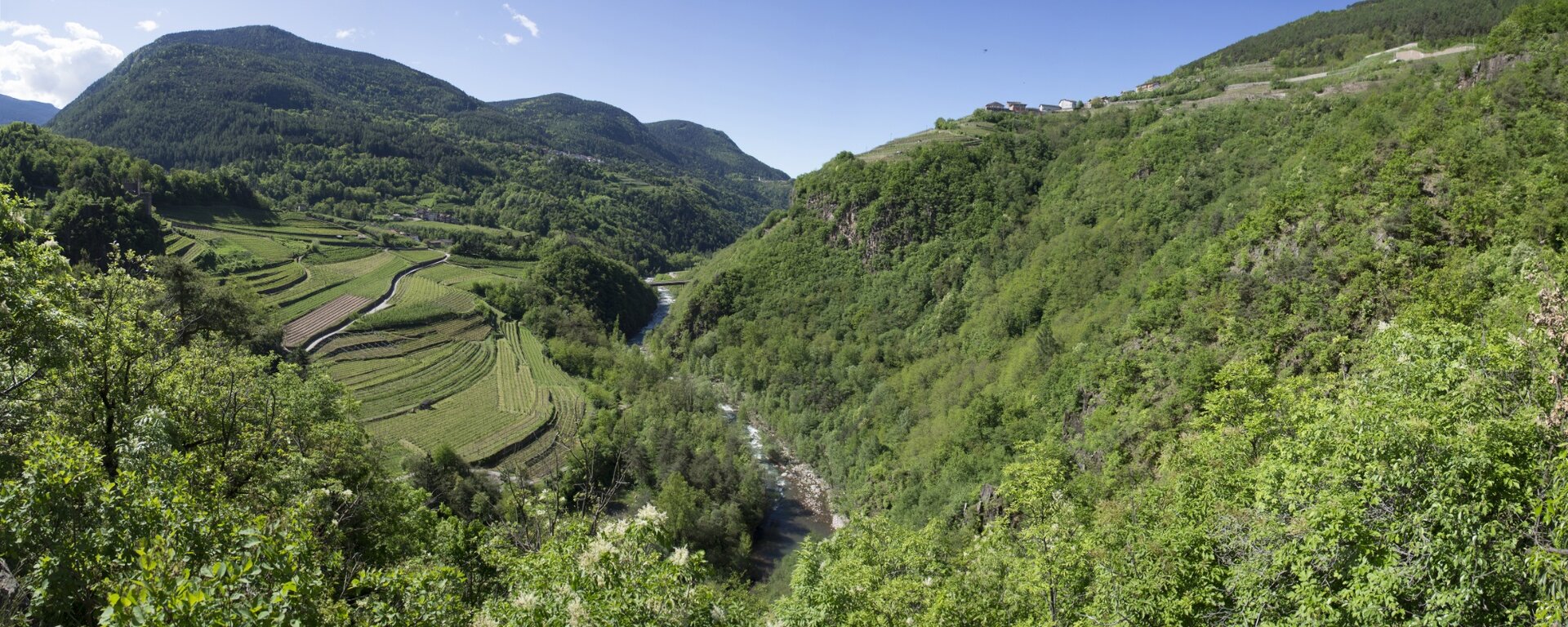
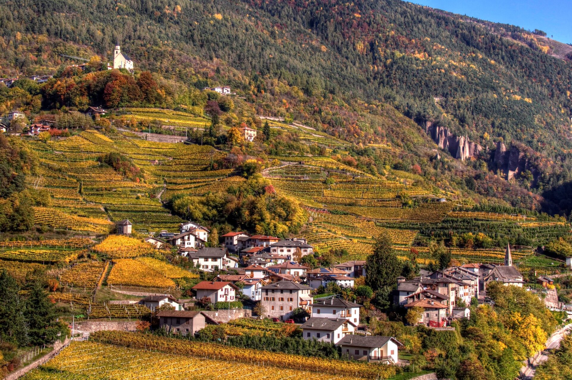
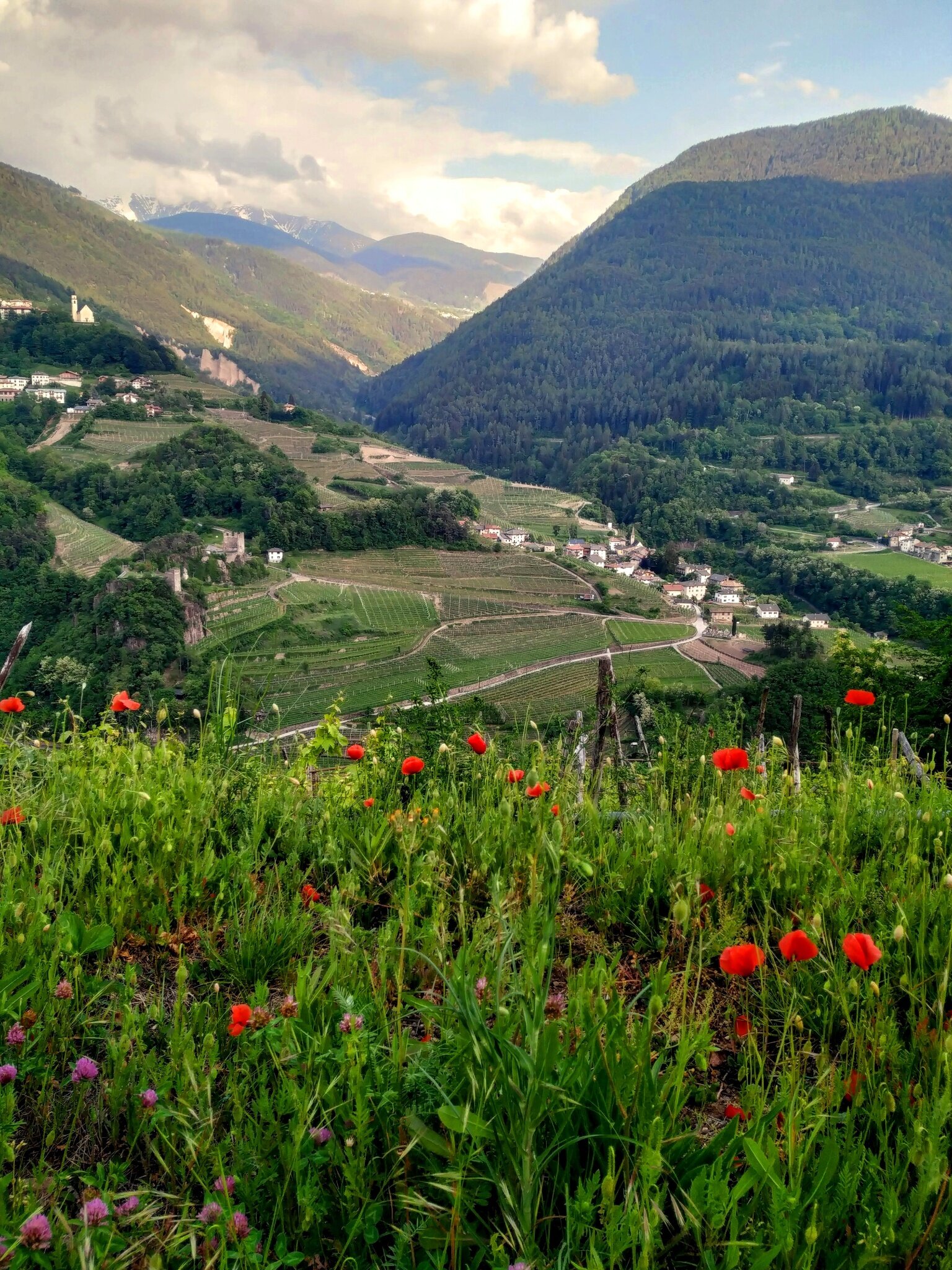
A journey into the essence of Val di Cembra: the small villages on steep slopes, the terraced vineyards, the Avisio stream, and the Segonzano Castle.
Our route starts from the center of Faver and crosses the village following the signs of the European Path E5 along the historic Corvaia Way, which descends to the Cantilaga bridge over the Avisio, for centuries the only passable connection between the two banks.
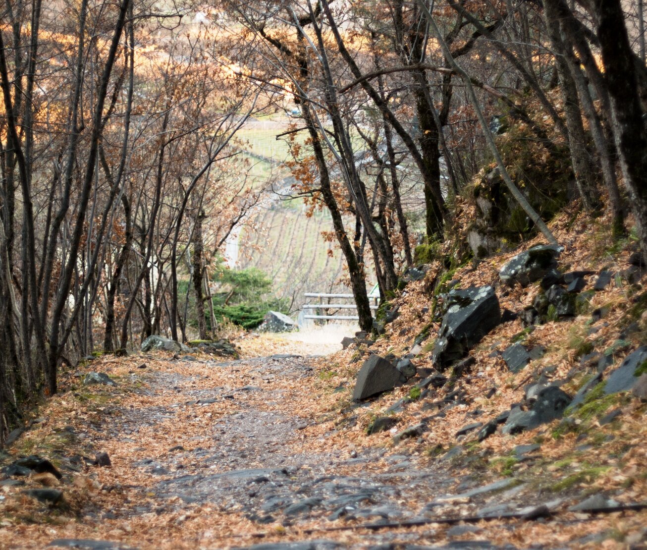
Along the descent via the paved mule track, we meet the "Capitello della Madonna delle Grazie". According to a legend, this was the place of the "Om Selvàdech" (wild man), a kind of gnome who came out of the woods and amused himself by scaring passing women, chasing them with screams and shouts.
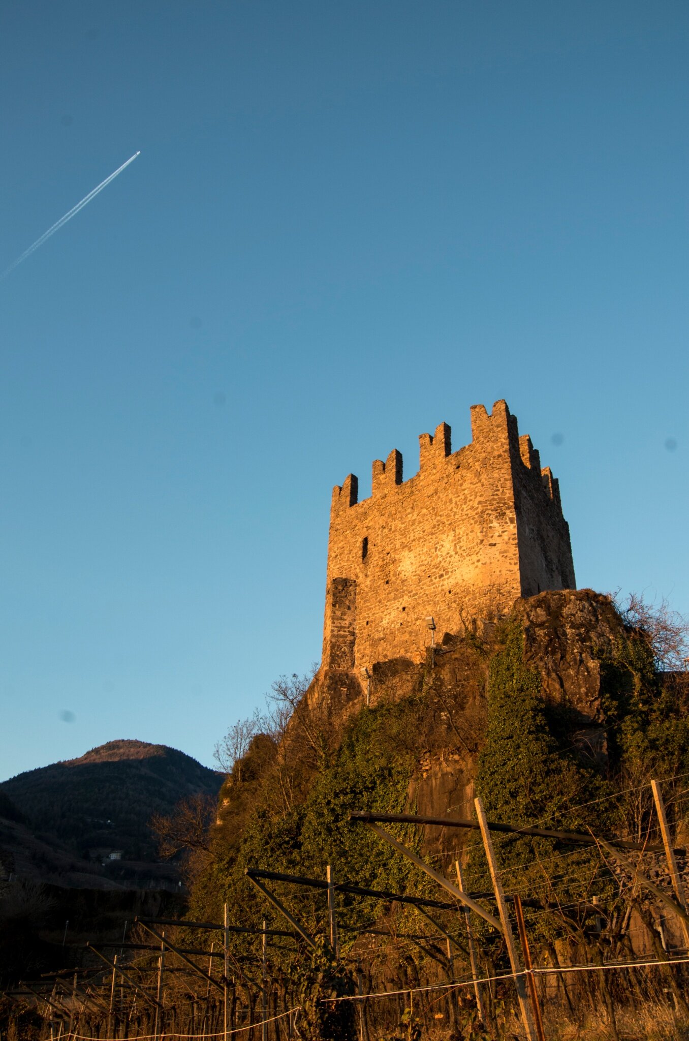
You then reach the Cantilaga Bridge, first mentioned in 1472 and destroyed in 1630 to prevent the spread of the plague that had affected the Faver side. After various reconstructions, the current bridge was built in 2007. From Cantilaga Bridge, turn right towards Piazzo: near the cemetery, a left turn allows reaching the ruins of the medieval Segonzano Castle.
Then descend to the hamlet of Piazzo, where the small church of the Immaculate Conception, built in the 1500s in late gothic style over a pre-existing chapel dating back to around 1130, is worth a visit. Here is preserved a valuable wooden statue depicting the Madonna of the Grapes. From Piazzo, descend along the provincial road to the "Friendship Bridge" over the Avisio. After crossing the bridge, immediately turn left taking the secondary road that runs along the stream. Along country roads among the vineyards, we ascend back to Faver.