To the navigation Skip to main content To the footer
Top

874 - Masi di Grumes-Cauria

Faver, Grauno, Grumes, Valda
Difficulty
Intermediate
Duration
4:30
in hours
Distance
17.4
in km
Categories
  • Mountainbiking
Tags
  • Scenic
  • Geological highlights
  • Fauna
  • Round trip
  • Flora
Suggested period
Jan
Feb
Mar
Apr
May
Jun
Jul
Aug
Sep
Oct
Nov
Dec

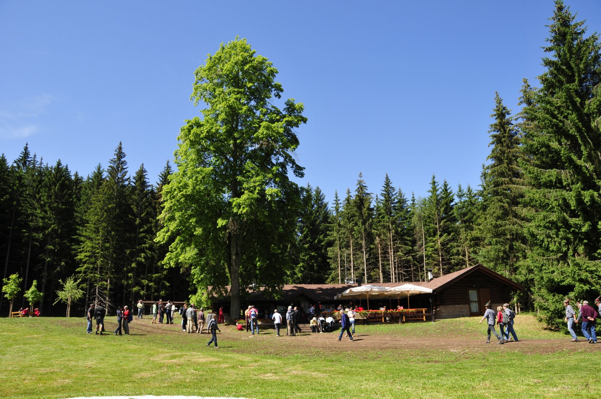
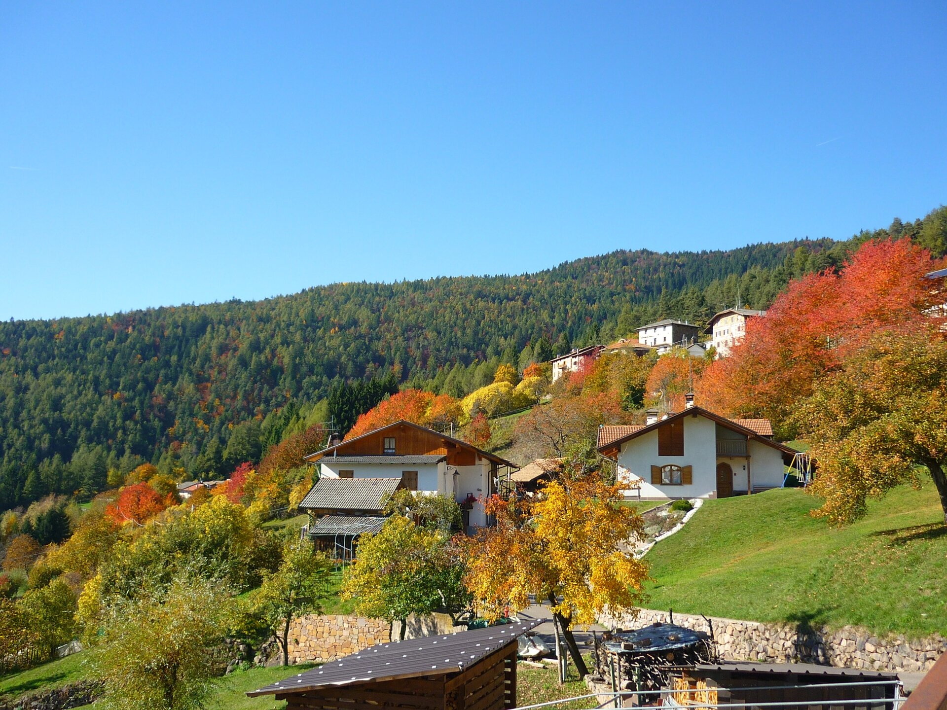
This tour, which straddles the border between Trentino and South Tyrol, is characterized by a difference in altitude of approximately 1,000 m. The route runs through a large section of the Monte Corno/Hornspitz nature park and across the hamlet of Cauria/Gfrill.

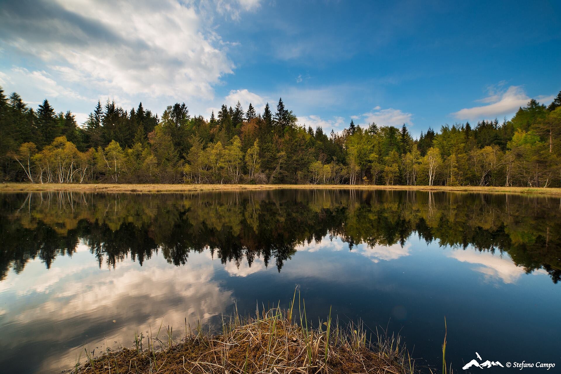
The route runs through a large section of the Monte Corno/Hornspitz nature park and across the hamlet of Cauria/Gfrill. It is dotted with mountain huts and crosses two interesting biotopes: the marsh of La Lot and an area called 'Laghetto di Vedes'. At the end of the route, you can enjoy refreshments and local specialities in the friendly setting of Rifugio Potzmauer.
Gallery
Further information and useful links

Ufficio Turistico Cembra - Tel. +39 0461 683110 - info@visitvaldicembra.it – www.visitvaldicembra.it  

Categories
  • Mountainbiking
Tags
  • Scenic
  • Geological highlights
  • Fauna
  • Round trip
  • Flora
Route data
Intermediate
Distance
17,4 km
Duration
4 h 30 min
Ascent
811 m
Decent
815 m
Physical condition
Scenary
Highest point
1.535 m
Lowest point
1.107 m
Suggestions

Also suitable for e-mtb

You might be interested in
Discover related tours
Val Venegia | © G. Panozzo, APT Fiemme Cembra
Intermediate
Predazzo
The amazing Val Venegia and Baita Segantini - Tour 934
Distance 18,6 km
Duration 3 h 00 min
Ascent 690 m
Decent 540 m
Status
closed
Latemar route | © M. Rizzi, APT Fiemme Cembra
Intermediate
Tesero, Predazzo
Latemar Tour - Tour 930
Distance 37,2 km
Duration 4 h 00 min
Ascent 350 m
Decent 1.480 m
Status
closed
Val-di-Fiemme-Cascata-Cavalese | © Unknown
Intermediate
Castello-Molina di Fiemme, Cavalese
Val Cadino and the waterfall - Tour 925
Distance 22,4 km
Duration 2 h 45 min
Ascent 660 m
Decent 660 m
© Staff Outdoor Val di Fiemme ND, APT Fiemme Cembra
Easy
Lona-Lases
861 - Lago di Lases-Lago di Santa Colomba
Distance 16,8 km
Duration 2 h 30 min
Ascent 468 m
Decent 460 m
© Azienda per il Turismo Altopiano di Piné e Valle di Cembra
Intermediate
Cembra, Lisignago, Faver, Grauno, Grumes, Valda
873 - Lago Santo - Potzmauer Pass
Distance 22,0 km
Duration 2 h 30 min
Ascent 832 m
Decent 833 m
On the route | © M. Felgenhauer, APT Fiemme Cembra
Easy
Predazzo
The mountain huts of Alpe Lusia in the Paneveggio Natural Park - Tour 932
Distance 18,4 km
Duration 3 h 30 min
Ascent 390 m
Decent 800 m