To the navigation Skip to main content To the footer
Top

Along the shores of Lago Santo

Cembra, Lisignago
Difficulty
Easy
Duration
0:20
in hours
Distance
1.1
in km
Categories
  • Hiking trail
Tags
  • Dog-friendly
  • Scenic
  • Fauna
  • Insider tip
  • 'Healthy climate'
  • Round trip
  • Refreshment stops available
  • Family-friendly
  • Flora
Suggested period
Jan
Feb
Mar
Apr
May
Jun
Jul
Aug
Sep
Oct
Nov
Dec

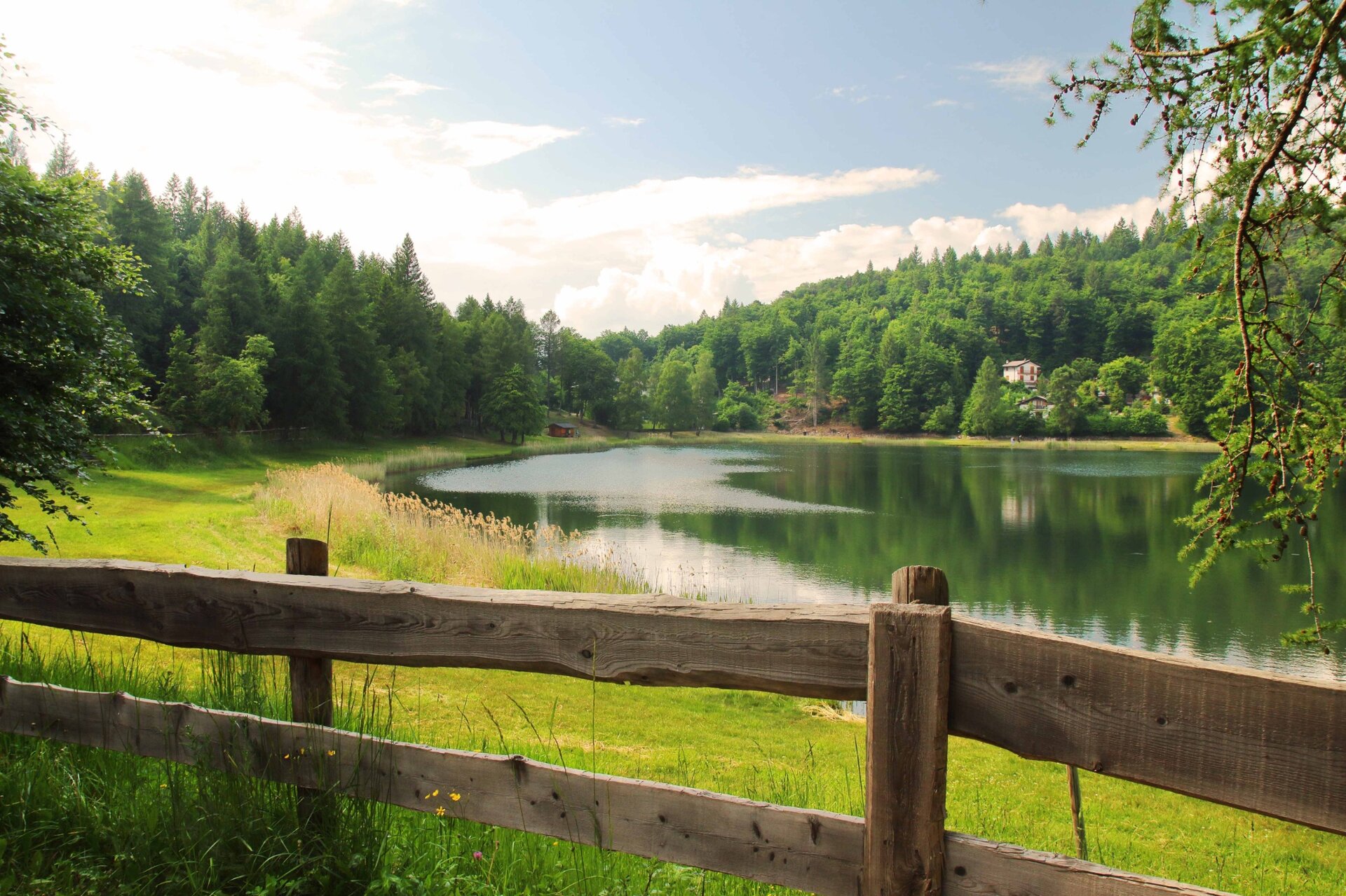
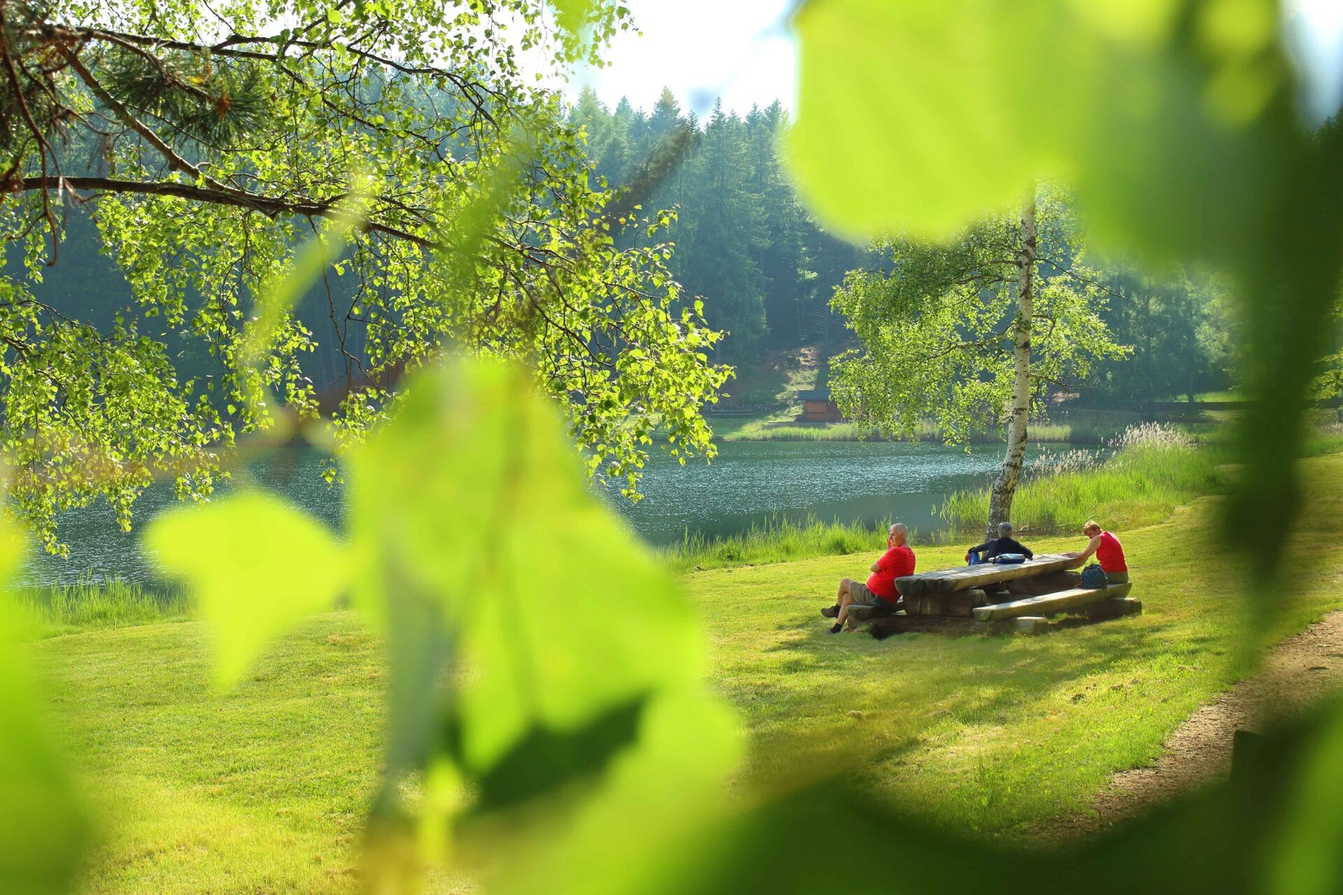
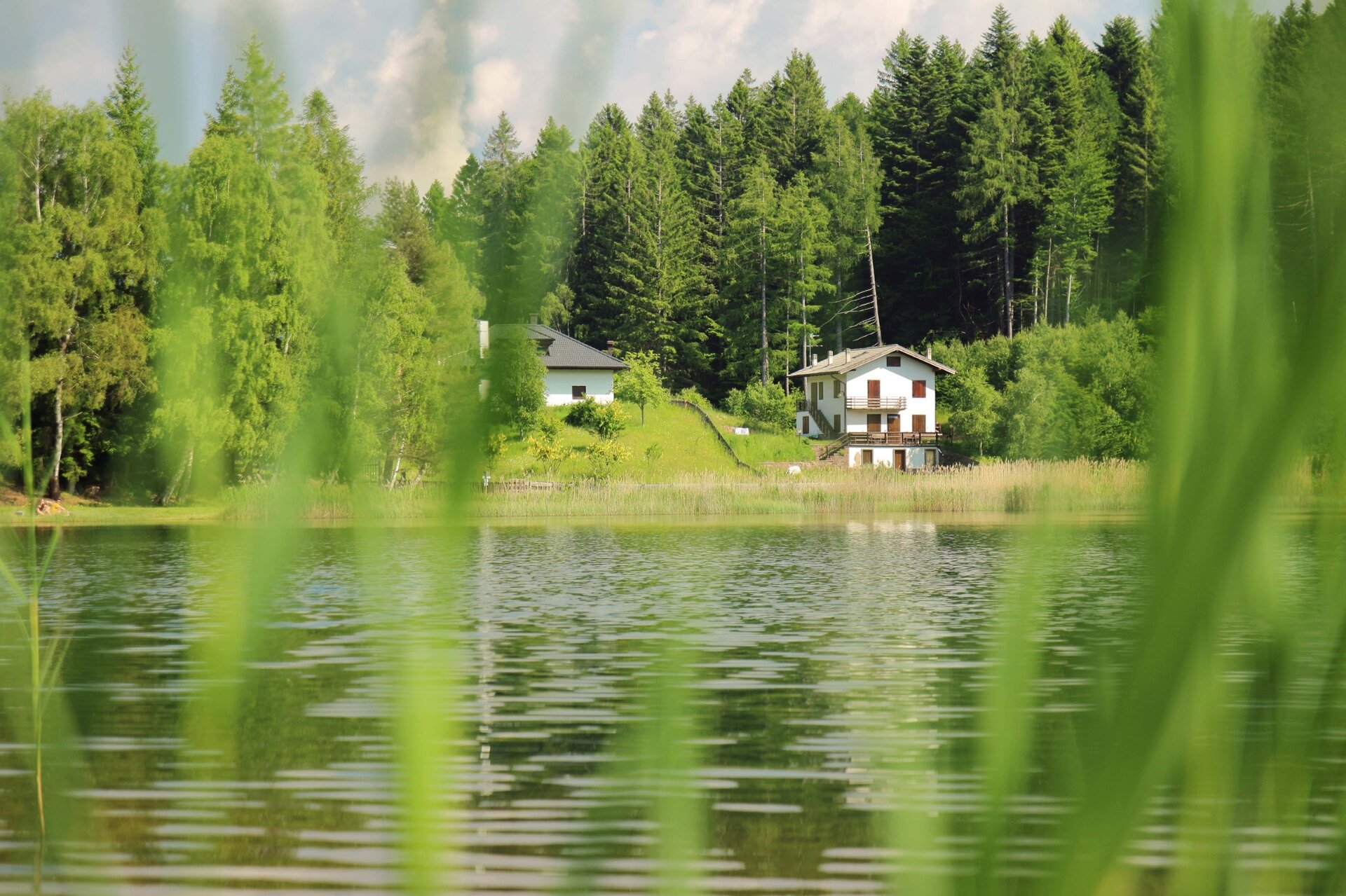
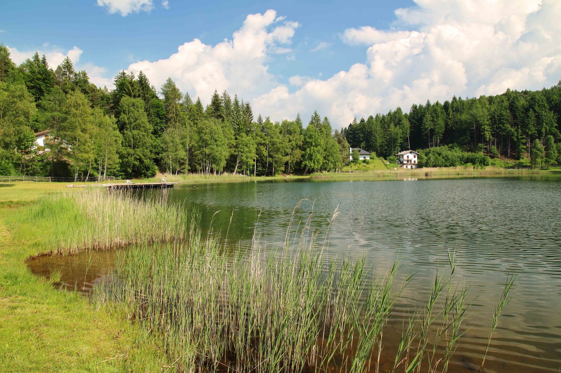
Total immersion in nature in all its elements is what this excursion mainly offers, which is particularly suitable for the more adventurous children.

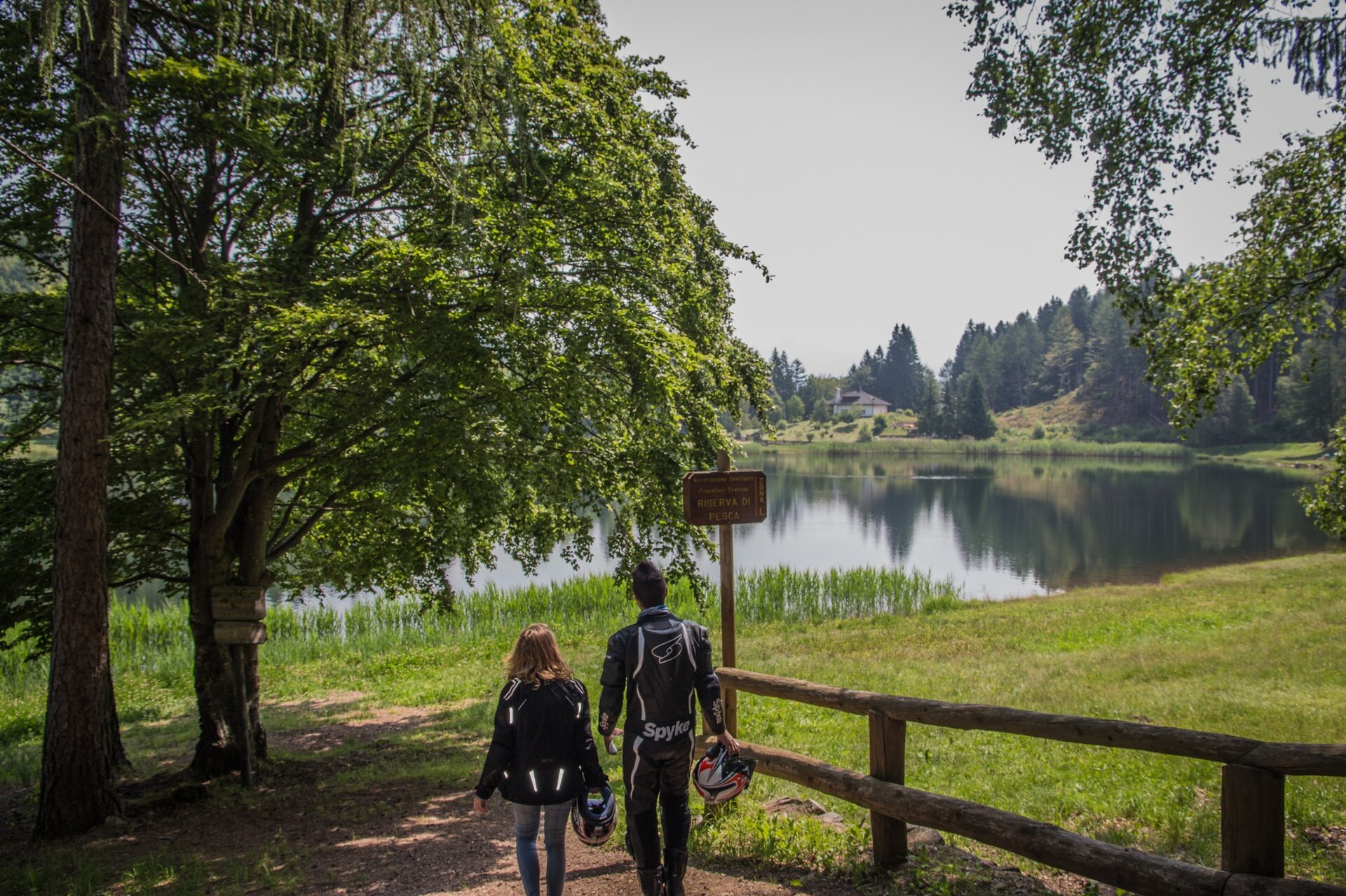
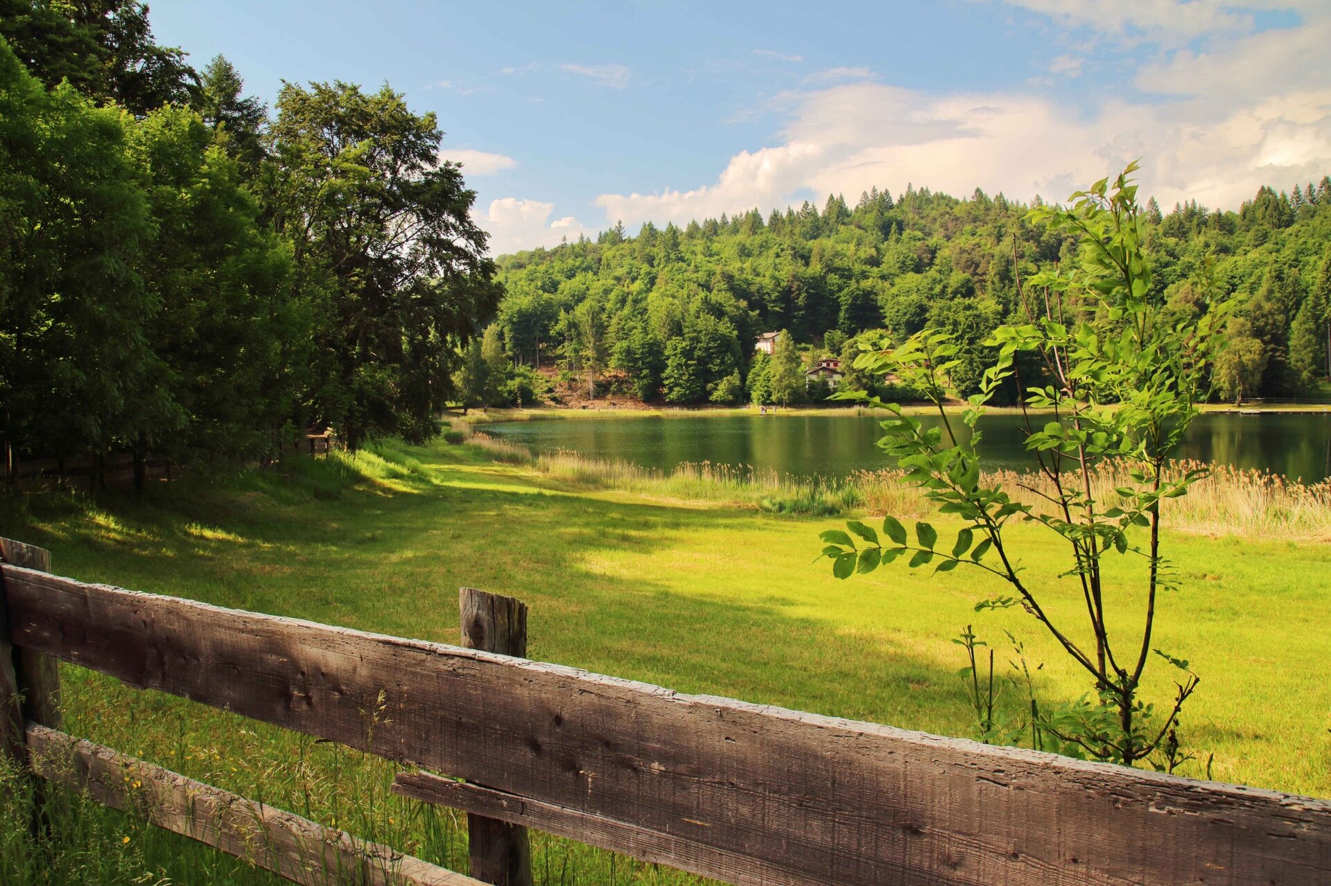
The combination of fauna and flora together with the splendid site of Lago Santo create the perfect conditions for a magnificent walk. This marvellous setting opens up at an altitude of 1,200 metres in the watershed basin created by millennial glacial erosion of porphyry. The route follows a loop around the perimeter of the lake, which offers short stretches of natural beach, plenty of peace, nature and clean air to take in, especially if you are arriving from the cities.The name 'Santo' comes from a local legend that says that once upon a time, where the lake now stands, there was a piece of land that was the subject of fierce disputes between the heirs, so much so that one of them, exasperated, wished that it would become a lake. From that moment on, water began to rise from underground, threatening the neighbouring village of Cembra. The townspeople, worried, went on a pilgrimage to the ground and when the parish priest threw the ring of the Madonna into it, the water stopped. Since then, the place has been called the Holy Lake.

Gallery
Further information and useful links

Ufficio Turistico Cembra - Tel. +39 0461 683110 - info@visitvaldicembra.it – www.visitvaldicembra.it  

Categories
  • Hiking trail
Tags
  • Dog-friendly
  • Scenic
  • Fauna
  • Insider tip
  • 'Healthy climate'
  • Round trip
  • Refreshment stops available
  • Family-friendly
  • Flora
Route data
Easy
Distance
1,1 km
Duration
20 min
Ascent
22 m
Decent
11 m
Physical condition
Scenary
Highest point
1.216 m
Lowest point
1.194 m
Suggestions

A stop at the nearby Lago Santo restaurant for a taste of traditional delicacies is recommended.

You might be interested in
Discover related tours
© Responsabile Ufficio Altopiano di Piné SS, APT Trento
Easy
Faver, Grauno, Grumes, Valda
At Rifugio Potzmauer
Distance 4,8 km
Duration 1 h 30 min
Ascent 300 m
Decent 300 m
© Unknown
Easy
Segonzano
Beghei town
Distance 4,0 km
Duration 2 h 00 min
Ascent 200 m
Decent 200 m
© Sara Zucal, Rete di Riserve Val di Cembra Avisio
Segonzano, Faver, Grauno, Grumes, Valda, Lona-Lases, Cembra, Lisignago
Val di Cembra coast to coast
Distance 13,1 km
Duration 4 h 30 min
Ascent 750 m
Decent 750 m
© Sara Zucal, Rete di Riserve Val di Cembra Avisio
Difficult
Lona-Lases
Lona - Lavis, Cammino delle Terre Sospese
Distance 16,5 km
Duration 4 h 55 min
Ascent 354 m
Decent 817 m
© Sara Zucal, Rete di Riserve Val di Cembra Avisio
Lona-Lases
Tour of Monte Gorsa
Distance 11,6 km
Duration 4 h 00 min
Ascent 500 m
Decent 500 m
Biotop Brozin | © Staff Outdoor Val di Fiemme, APT Fiemme Cembra
Easy
Castello-Molina di Fiemme
Be guest in the nature of Brozin Biotope
Distance 5,0 km
Duration 2 h 30 min
Ascent 110 m
Decent 110 m