To the navigation Skip to main content To the footer
Top

I Pradi da le Fior

Valfloriana
Difficulty
Easy
Duration
0:55
in hours
Distance
3.1
in km
Categories
  • Hiking trail
Tags
  • Scenic
  • Out and back
  • Refreshment stops available
  • Family-friendly
  • Flora
Suggested period
Jan
Feb
Mar
Apr
May
Jun
Jul
Aug
Sep
Oct
Nov
Dec
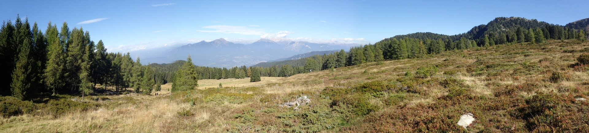
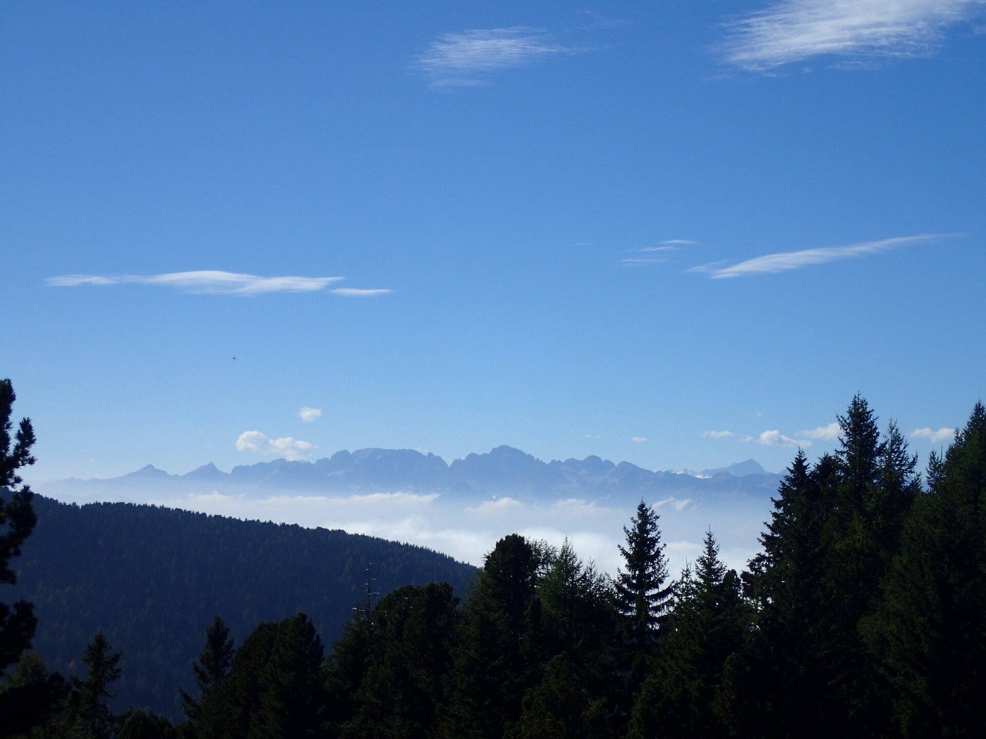
I Pradi da le Fior, a natural balcony over the valleys of the Avisio
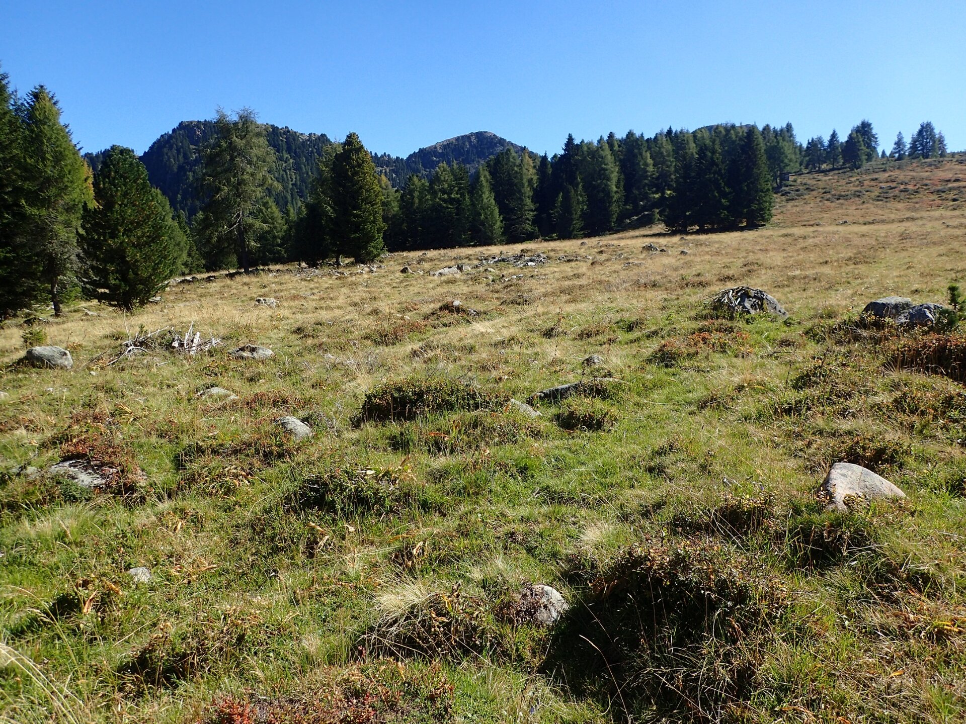
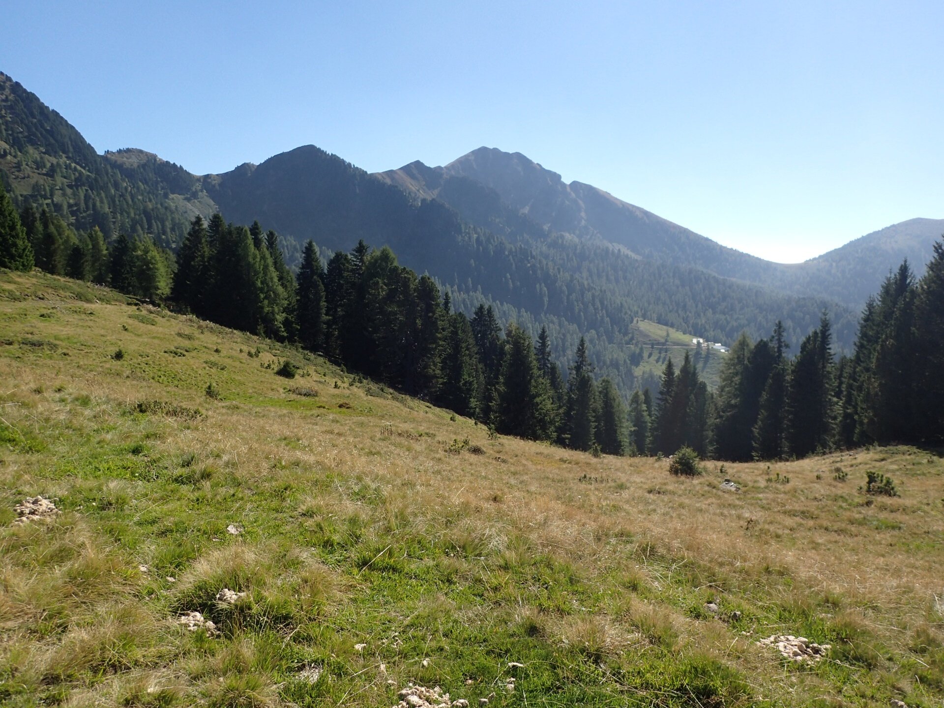
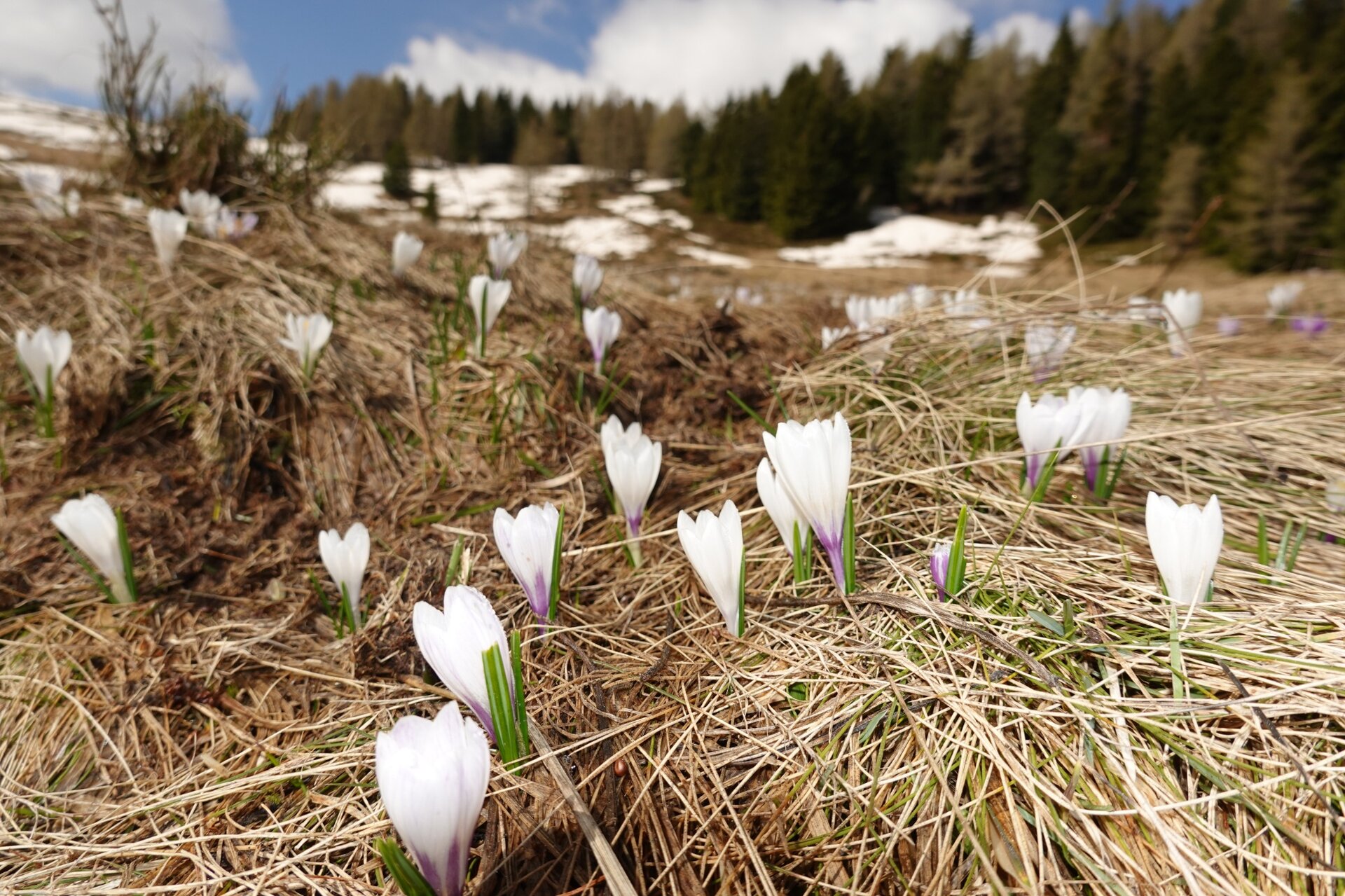
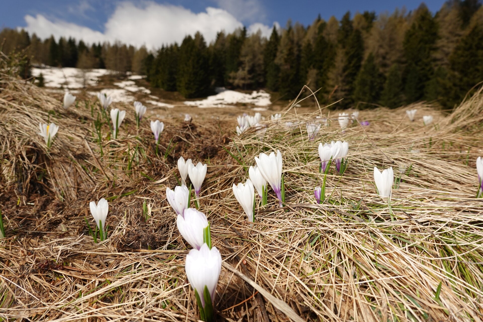
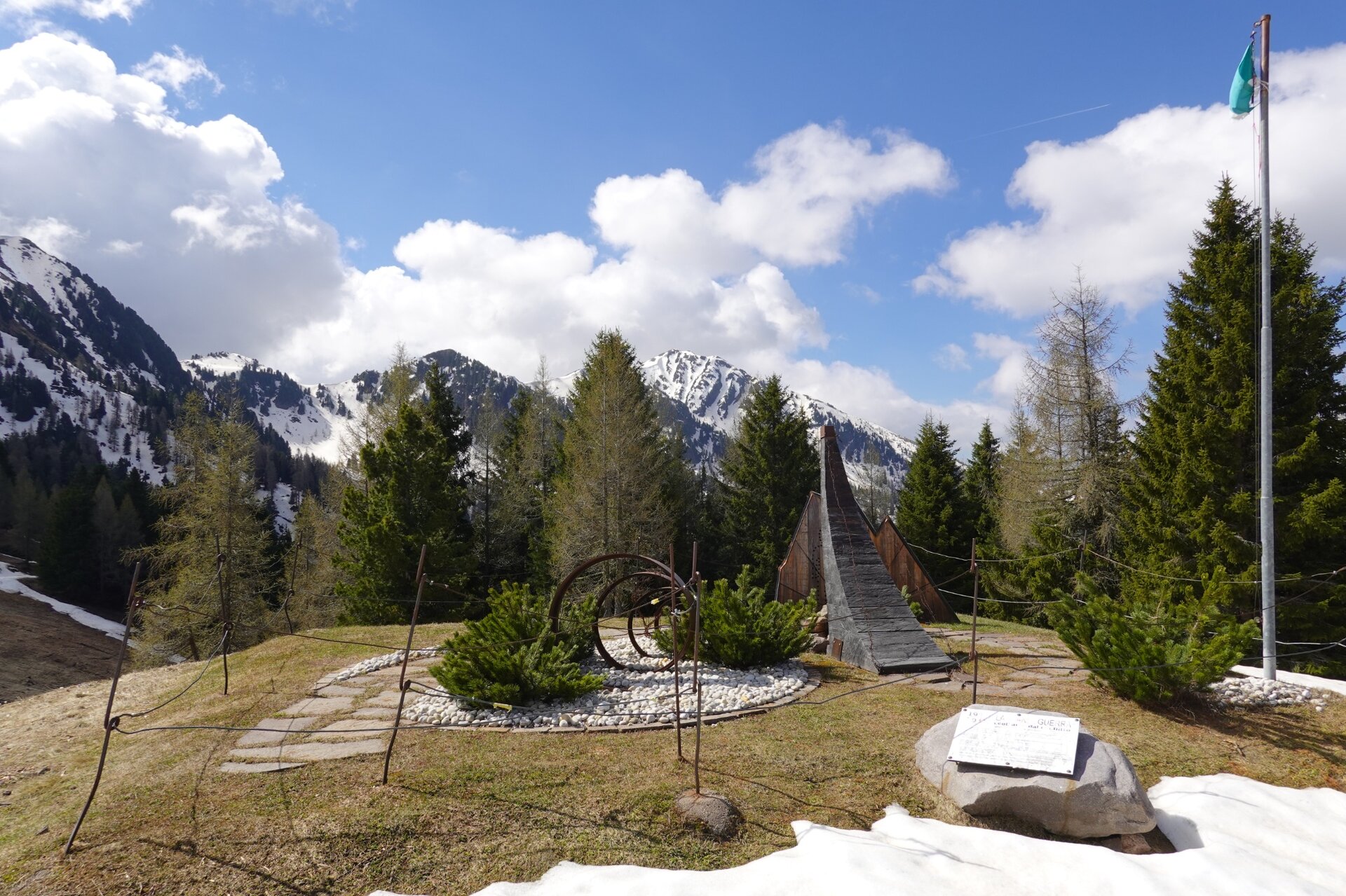
From Malga dal Sass begins a beautiful route that gently climbs up to the airfield known as “Pradi da le Fior”. The name of the grazing area clearly refers to the splendid and extensive blooms that color it in spring. But it is not only the Pradi da le Fior that enhance this easy hike. The itinerary actually starts from the pasture surrounding the malga where, during the good season, you can admire cows busy grazing the nutrient-rich mountain grasses. Then you cross a sparse forest of airy larches and dark, massive Swiss pines in which the intense and balsamic scent spread by the resin of the conifers lingers. At the point where the itinerary ends there is also a singular monument commemorating the First World War, conceived and created by the students of the Ladin Art School of Fassa. The work consists of four artistic visions and aims to immerse the viewer in the spirit of the young men leaving for war, illustrate the drama of the war event and the subsequent return of peace. On the meadows there are groups of table-bench sets where it is possible to have a packed meal. If preferred, you can opt for Malga dal Sass, which offers catering service in the summer months.
Gallery
Categories
  • Hiking trail
Tags
  • Scenic
  • Out and back
  • Refreshment stops available
  • Family-friendly
  • Flora
Route data
Easy
Distance
3,1 km
Duration
55 min
Ascent
103 m
Decent
103 m
Physical condition
Scenary
Highest point
2.011 m
Lowest point
1.908 m
You might be interested in
Discover related tours
© Sara Zucal, Rete di Riserve Val di Cembra Avisio
Difficult
Lona-Lases, Segonzano, Cembra, Lisignago
Lisignago - Segonzano, Cammino delle Terre Sospese
Distance 15,0 km
Duration 5 h 30 min
Ascent 798 m
Decent 646 m
Ischiazza | © Elisa Travaglia, Rete di Riserve Val di Cembra Avisio
Easy
Capriana, Valfloriana
lschiazza ghost town
Distance 4,4 km
Duration 2 h 00 min
Ascent 150 m
Decent 150 m
Avisio River Park | © G. Panozzo, APT Fiemme Cembra
Easy
Ziano di Fiemme, Predazzo
The fluvial park along the Avisio
Distance 6,0 km
Duration 1 h 45 min
Ascent 50 m
Decent 50 m
Malga Bocche | © N. Delvai, APT Fiemme Cembra
Intermediate
Predazzo
Mountain Without Limits - From Morea to Malga Bocche
Distance 9,2 km
Duration 3 h 00 min
Ascent 160 m
Decent 160 m
© Sara Zucal, Rete di Riserve Val di Cembra Avisio
Difficult
Cembra, Lisignago, Giovo
Lavis - Lisignago, Cammino delle Terre Sospese
Distance 12,6 km
Duration 4 h 45 min
Ascent 742 m
Decent 392 m
© Sara Zucal, Rete di Riserve Val di Cembra Avisio
Easy
Sover
At the Pastures of Malga Vernera
Distance 3,6 km
Duration 1 h 10 min
Ascent 185 m
Decent 185 m